Blaxhall Heath
Downs, Moorland in Suffolk East Suffolk
England
Blaxhall Heath

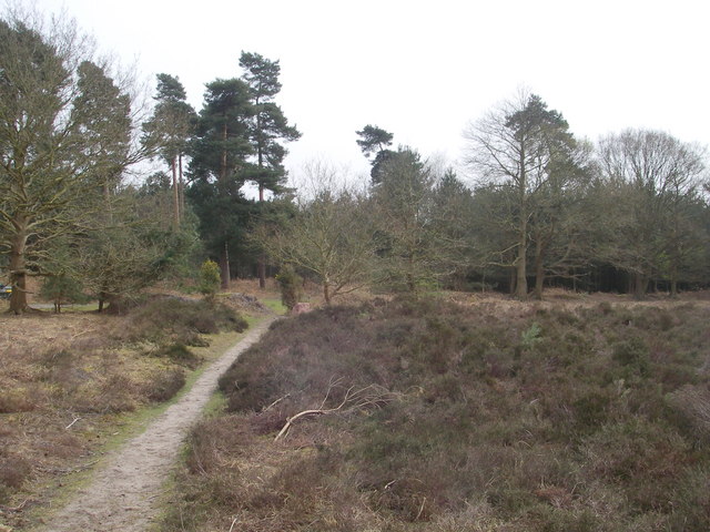
Blaxhall Heath is a picturesque area located in Suffolk, England, known for its stunning natural landscapes and diverse ecosystems. Covering an expansive area of downs and moorland, it offers a unique combination of beautiful open spaces, heathland, and woodland.
The heathland in Blaxhall Heath is characterized by its low-growing vegetation, dominated by heather, gorse, and bracken. These plants create a vibrant and colorful tapestry across the landscape, particularly during the summer months when the heather blooms in shades of purple and pink. The area is also home to a variety of wildlife, including birds such as the stonechat and Dartford warbler, as well as reptiles like the common lizard and adder.
The downs in Blaxhall Heath are marked by their rolling hills and grassy slopes, providing visitors with breathtaking panoramic views of the surrounding countryside. These areas are often used for recreational activities such as walking, hiking, and picnicking. The downs are also home to a rich diversity of wildflowers, including orchids and cowslips, which add to the area's natural beauty.
Blaxhall Heath is a popular destination for nature enthusiasts, offering opportunities for birdwatching, photography, and exploring the unique flora and fauna. The area is well-maintained and easily accessible, with designated paths and trails for visitors to follow. It is a peaceful and serene location, providing a tranquil escape from the hustle and bustle of everyday life.
Overall, Blaxhall Heath is a stunning example of the natural beauty that Suffolk has to offer. Its combination of downs and moorland, along with its diverse range of wildlife and plant life, make it a must-visit destination for those seeking to immerse themselves in nature.
If you have any feedback on the listing, please let us know in the comments section below.
Blaxhall Heath Images
Images are sourced within 2km of 52.158403/1.4769503 or Grid Reference TM3756. Thanks to Geograph Open Source API. All images are credited.


Blaxhall Heath is located at Grid Ref: TM3756 (Lat: 52.158403, Lng: 1.4769503)
Administrative County: Suffolk
District: East Suffolk
Police Authority: Suffolk
Also known as: Blaxhall Common
What 3 Words
///butchers.rooftop.wiggly. Near Rendlesham, Suffolk
Nearby Locations
Related Wikis
Blaxhall Common
Blaxhall Common is a nature reserve in the parish of Blaxhall in the East Suffolk District of Suffolk. The reserve is owned by Blaxhall Parish Council...

Blaxhall
Blaxhall is a village and civil parish in the East Suffolk district of the English county of Suffolk. Located around 8 miles (13 km) south-west of Leiston...
Snape Maltings Concert Hall
Snape Maltings Concert Hall is an arts complex on the banks of the River Alde at Snape, Suffolk, England. It is best known as one of the main sites of...
Iken Wood
Iken Wood is a 5.3-hectare (13-acre) biological Site of Special Scientific Interest south of Snape in Suffolk. It is in the Suffolk Coast and Heaths Area...
Aldeburgh Festival
The Aldeburgh Festival of Music and the Arts is an English arts festival devoted mainly to classical music. It takes place each June in the Aldeburgh area...

Snape Priory
Snape Priory was a priory in Suffolk, England. It was founded as a cell of the Benedictine St John's Abbey, Colchester in Essex.Cardinal Wolsey obtained...
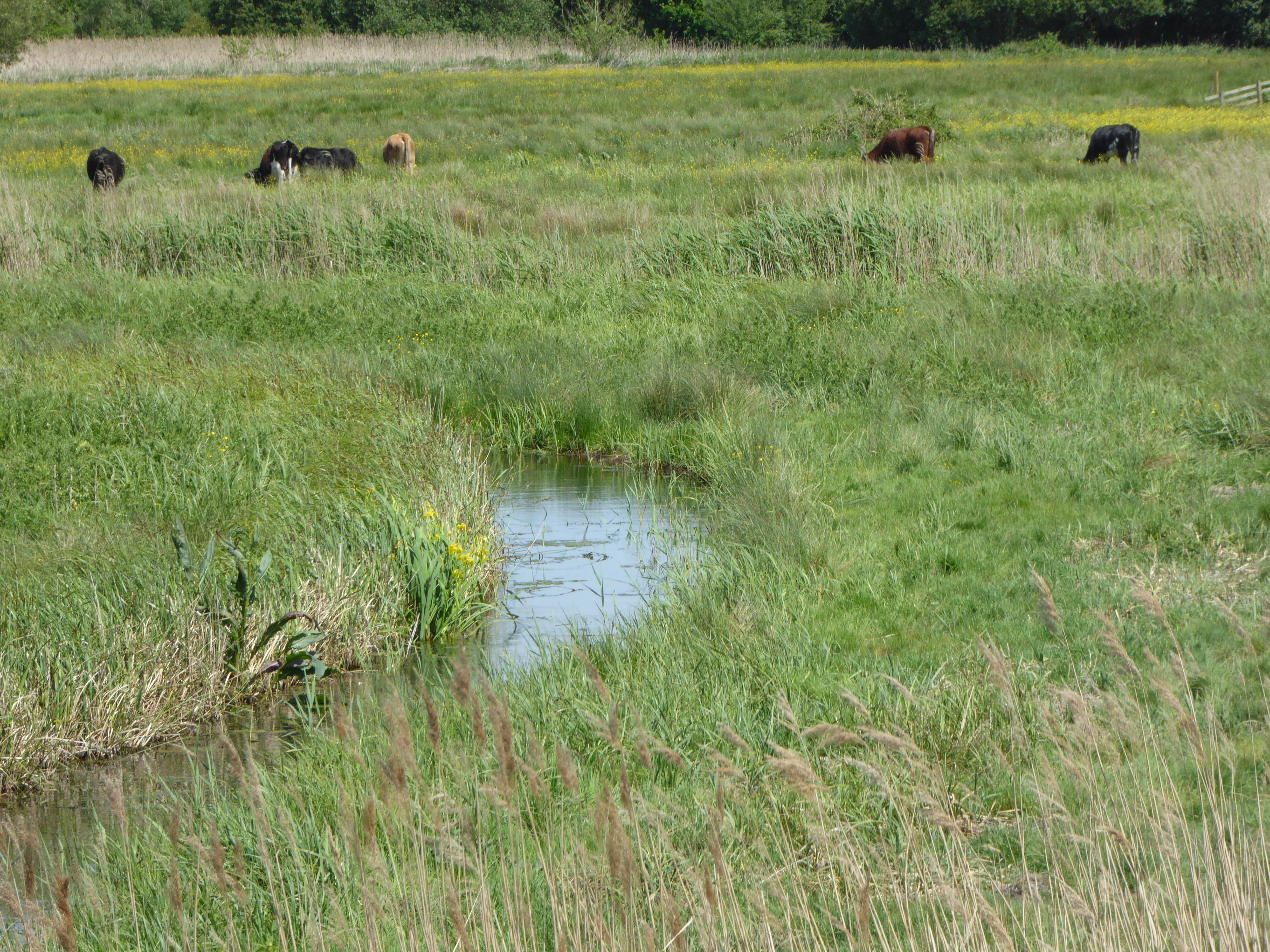
Snape Marshes
Snape Marshes is a 19.8-hectare (49-acre) nature reserve south-east of Snape in Suffolk. It is owned and managed by the Suffolk Wildlife Trust.The diverse...

Suffolk Coastal (UK Parliament constituency)
Suffolk Coastal (sometimes known as Coastal Suffolk) is a parliamentary constituency in the county of Suffolk, England which has been represented in the...
Nearby Amenities
Located within 500m of 52.158403,1.4769503Have you been to Blaxhall Heath?
Leave your review of Blaxhall Heath below (or comments, questions and feedback).