Leiston Common
Downs, Moorland in Suffolk East Suffolk
England
Leiston Common
Leiston Common is a picturesque area located in Suffolk, England. Spanning over 200 acres, it comprises a unique combination of downs and moorland landscapes, making it a haven for nature enthusiasts and walkers alike.
The common is characterized by its open expanses of rolling grasslands that are dotted with gorse bushes and heather. The rich plant diversity provides a vibrant tapestry of colors throughout the year, with purple heather blooms in the summer and golden hues in the autumn.
The area is also home to a variety of wildlife, including rabbits, foxes, and numerous bird species such as skylarks and meadow pipits. The common’s diverse habitats, including wetland areas and ponds, attract a range of waterfowl and wading birds.
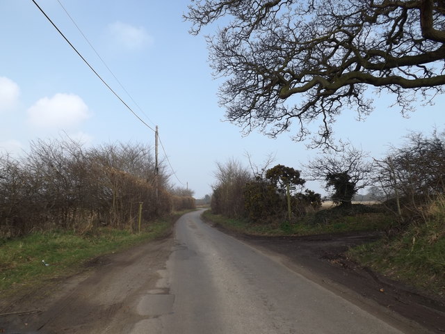
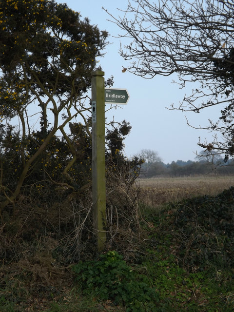
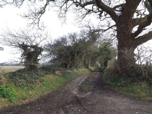
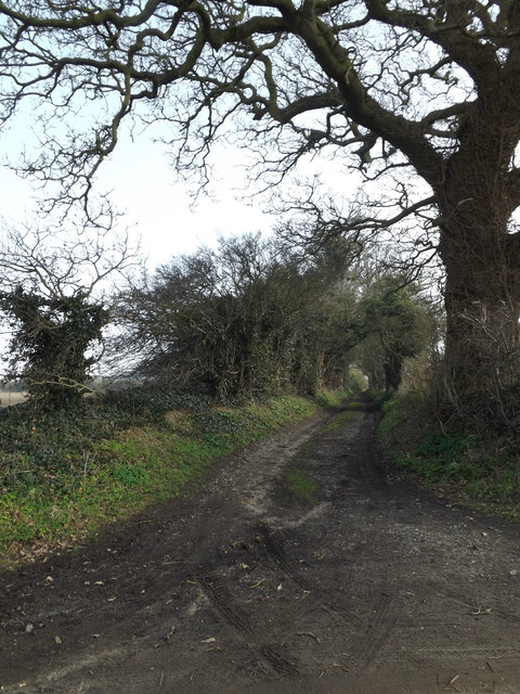
There are several walking trails that crisscross the common, offering visitors the opportunity to explore its natural beauty. These paths are well-maintained and easy to navigate, catering to both casual strollers and more experienced hikers. The high points of the common provide stunning panoramic views of the surrounding countryside and coastline.
Leiston Common is not only a place of natural beauty but also has historical significance. The remnants of World War II can still be found here, including the remains of an airfield and pillboxes. These remnants serve as a reminder of the common’s role during the war and add an intriguing dimension to the area.
Overall, Leiston Common is a place of tranquility, offering visitors a chance to immerse themselves in nature, admire breathtaking views, and appreciate the historical significance of the area.
If you have any feedback on the listing, please let us know in the comments section below.
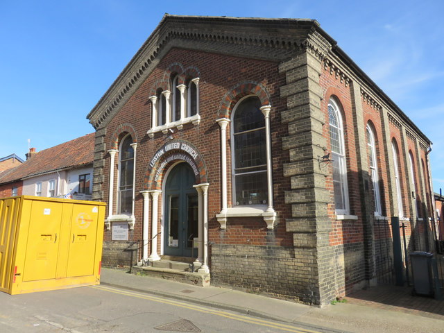
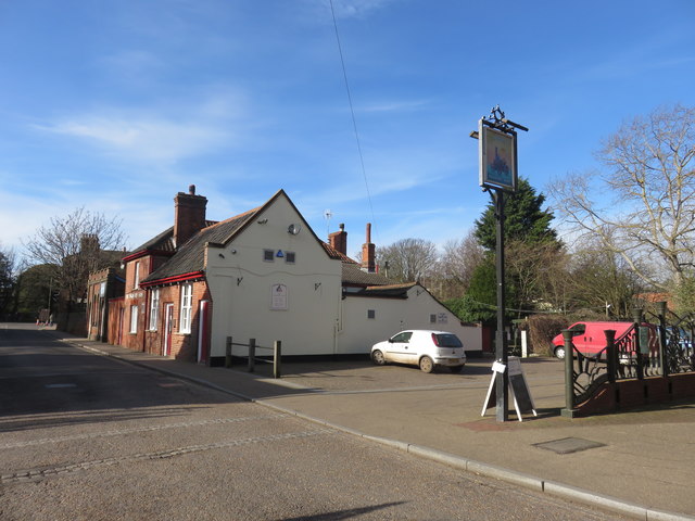
Leiston Common Images
Images are sourced within 2km of 52.214789/1.5971694 or Grid Reference TM4563. Thanks to Geograph Open Source API. All images are credited.


Leiston Common is located at Grid Ref: TM4563 (Lat: 52.214789, Lng: 1.5971694)
Administrative County: Suffolk
District: East Suffolk
Police Authority: Suffolk
What 3 Words
///blotting.roughness.frost. Near Leiston, Suffolk
Nearby Locations
Related Wikis

Sizewell Belts
Sizewell Marshes form a 260-acre (105.4 ha) biological Site of Special Scientific Interest adjacent to Sizewell in Suffolk. It is in the Suffolk Coast...

Alde Valley Academy
Alde Valley Academy is a secondary school with academy status in Leiston in the English county of Suffolk. It has approximately 500 pupils aged 11 to...

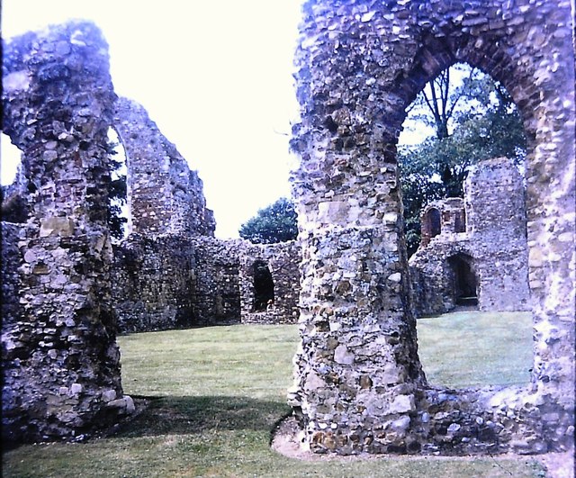
Leiston Abbey
Leiston Abbey outside the town of Leiston, Suffolk, England, was a religious house of Canons Regular following the Premonstratensian rule (White canons...
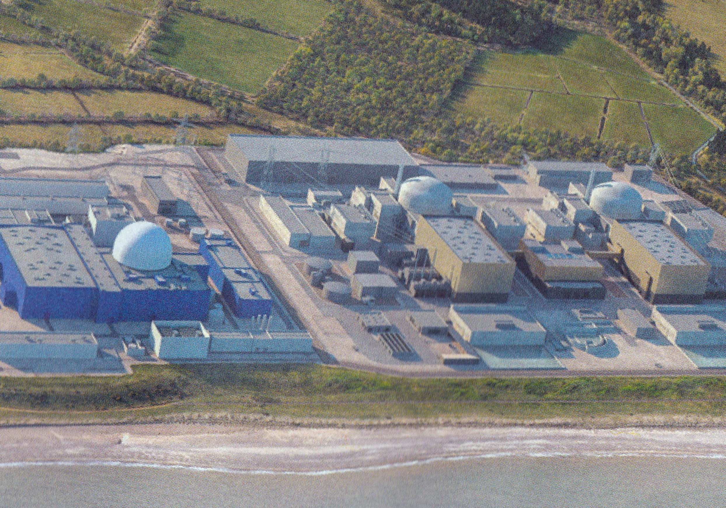
Sizewell C nuclear power station
Sizewell C nuclear power station is a project to construct a 3,200 MWe nuclear power station with two EPR reactors in Suffolk, England. The project was...
Nearby Amenities
Located within 500m of 52.214789,1.5971694Have you been to Leiston Common?
Leave your review of Leiston Common below (or comments, questions and feedback).