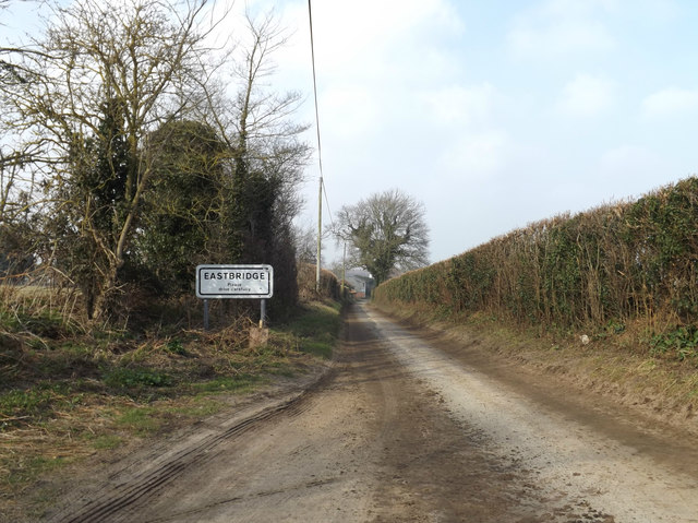
Leiston Carr
Wood, Forest in Suffolk East Suffolk
England
Leiston Carr
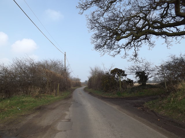
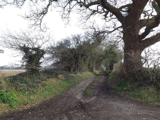
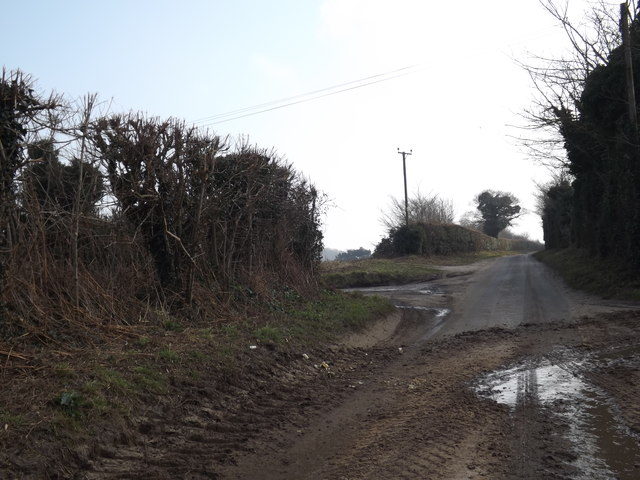
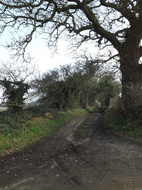
Leiston Carr is a picturesque woodland located in the county of Suffolk, England. Situated near the town of Leiston, the Carr is a renowned natural treasure that attracts visitors from far and wide. Spanning over a vast area, the woodland is home to a diverse range of flora and fauna, making it an ideal destination for nature lovers and wildlife enthusiasts.
The Carr is characterized by its dense forest cover, consisting mainly of oak, beech, and birch trees. These towering giants create a tranquil and serene atmosphere, providing a perfect escape from the hustle and bustle of everyday life. The woodland floor is adorned with an array of wildflowers, adding vibrancy to the surroundings.
Aside from its natural beauty, Leiston Carr is also a habitat for numerous species of wildlife. Birdwatchers can spot various avian species, including woodpeckers, owls, and warblers. Mammals such as deer, foxes, and rabbits can also be spotted roaming freely within the woodland.
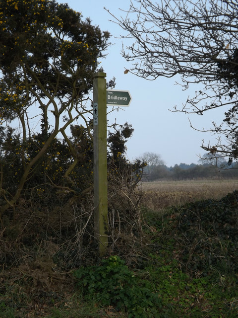
For outdoor enthusiasts, the Carr offers a range of activities. There are several walking trails and paths that wind through the forest, allowing visitors to explore its hidden gems. The peaceful ambience and scenic views make it an ideal location for leisurely walks, picnics, or even photography sessions.
Leiston Carr is also well-known for its conservation efforts. The woodland is carefully managed to preserve its natural beauty and biodiversity. Local organizations work tirelessly to protect the Carr and its inhabitants, ensuring that future generations can continue to enjoy this wonderful natural resource.
In conclusion, Leiston Carr is a magnificent woodland in Suffolk, offering a delightful retreat for anyone seeking solace in nature. With its lush foliage, diverse wildlife, and tranquil ambiance, it is indeed a gem worth exploring.
If you have any feedback on the listing, please let us know in the comments section below.
Leiston Carr Images
Images are sourced within 2km of 52.218844/1.5987129 or Grid Reference TM4563. Thanks to Geograph Open Source API. All images are credited.


Leiston Carr is located at Grid Ref: TM4563 (Lat: 52.218844, Lng: 1.5987129)
Administrative County: Suffolk
District: East Suffolk
Police Authority: Suffolk
What 3 Words
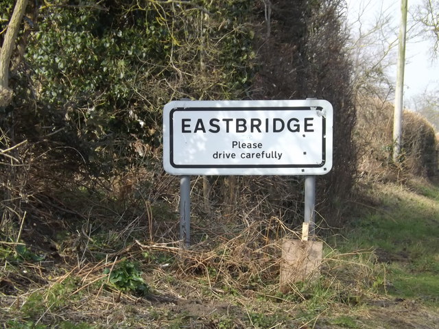
///spoils.additives.pockets. Near Leiston, Suffolk
Nearby Locations
Related Wikis

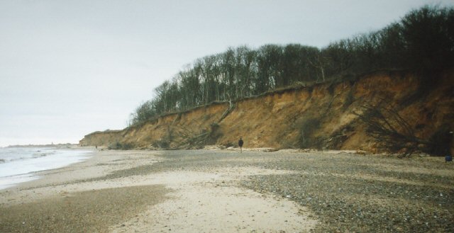
Sizewell Belts
Sizewell Marshes form a 260-acre (105.4 ha) biological Site of Special Scientific Interest adjacent to Sizewell in Suffolk. It is in the Suffolk Coast...

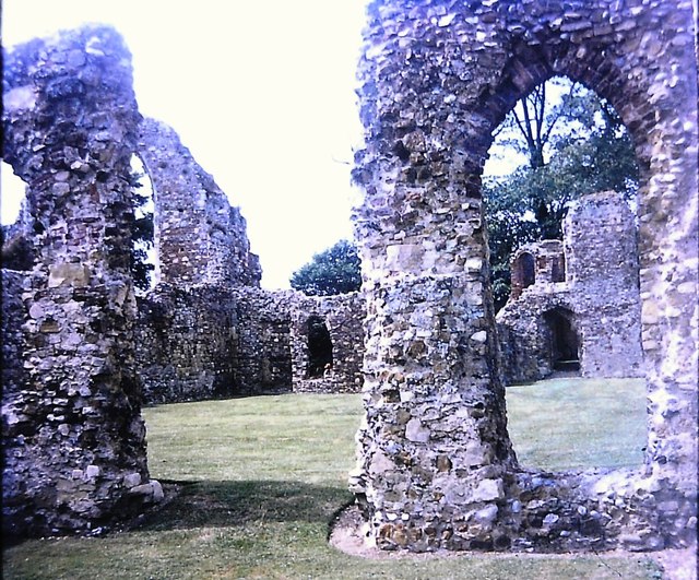
Leiston Abbey
Leiston Abbey outside the town of Leiston, Suffolk, England, was a religious house of Canons Regular following the Premonstratensian rule (White canons...
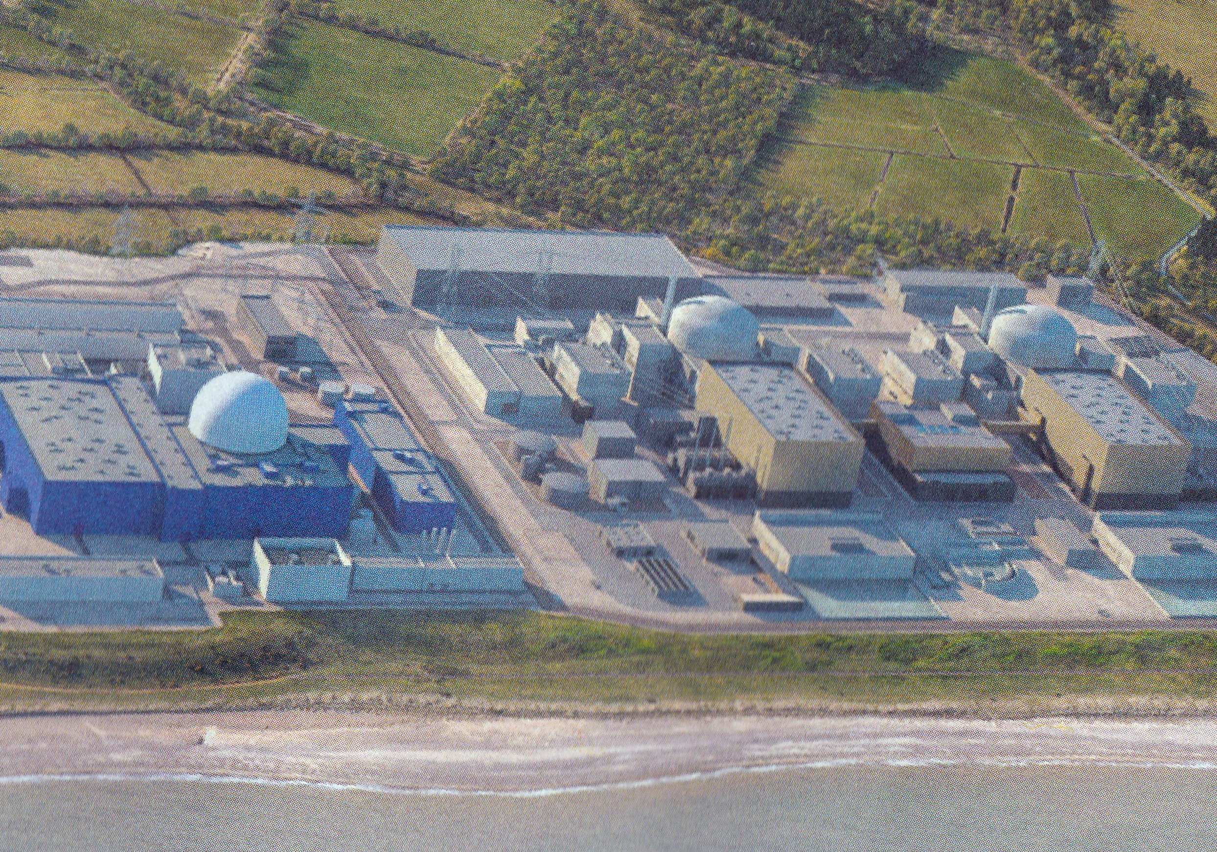
Sizewell C nuclear power station
Sizewell C nuclear power station is a project to construct a 3,200 MWe nuclear power station with two EPR reactors in Suffolk, England. The project was...
Suffolk Coast and Heaths
The Suffolk Coast and Heaths AONB is an Area of Outstanding Natural Beauty in Suffolk and Essex, England. The AONB covers ancient woodland, commercial...
Nearby Amenities
Located within 500m of 52.218844,1.5987129Have you been to Leiston Carr?
Leave your review of Leiston Carr below (or comments, questions and feedback).