Ash Covert

Wood, Forest in Suffolk East Suffolk

England

Ash Covert

Acheulean-mousterian cordate hand-axe The axe which measures 78mm x 65mm was found near this spot in 1980 and was identified by Norwich museum as being about 160,000 years old. The general location can be seen here <a title="https://www.geograph.org.uk/photo/6946241" href="https://www.geograph.org.uk/photo/6946241">Link</a>
Acheulean-mousterian cordate hand-axe Credit: Adrian S Pye

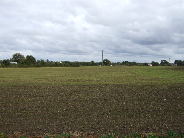
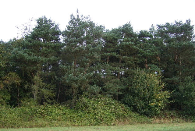
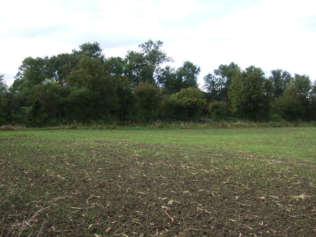
Ash Covert is a picturesque woodland area located in Suffolk, England. Situated in the eastern part of the county, it is known for its dense forest and rich natural beauty. The name "Ash Covert" refers to the dominant presence of ash trees in the area, adding to the charm and tranquility of the place.

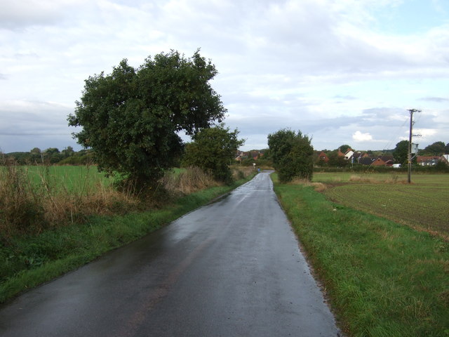
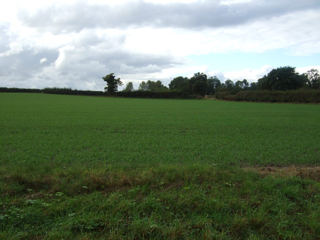
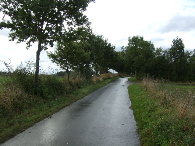
Covering an expansive area, Ash Covert offers a haven for nature lovers and outdoor enthusiasts. The forest is home to a diverse range of flora and fauna, showcasing the region's biodiversity. Visitors can enjoy walking through the well-maintained trails that wind their way through the forest, immersing themselves in the peaceful surroundings.

The woodland is also well-known for its birdlife, with various species inhabiting the area. Birdwatchers can catch glimpses of woodpeckers, owls, and other woodland birds, making it a popular spot for birdwatching enthusiasts.

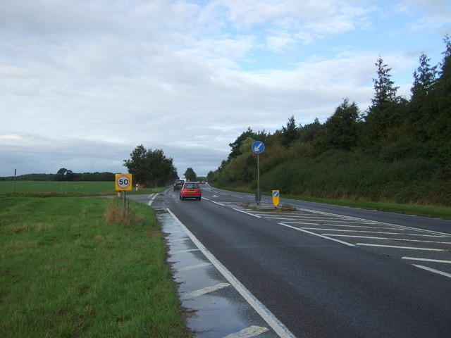
In addition to its natural beauty, Ash Covert offers recreational activities for visitors. The forest provides ample space for outdoor pursuits such as hiking, cycling, and picnicking, making it an ideal location for families and individuals looking to enjoy the great outdoors.

Overall, Ash Covert is a stunning woodland area in Suffolk, offering a harmonious blend of natural beauty, tranquility, and recreational opportunities. Whether it's exploring the forest trails, birdwatching, or simply enjoying a peaceful picnic amidst the trees, Ash Covert provides a delightful escape into nature.

If you have any feedback on the listing, please let us know in the comments section below.
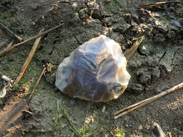
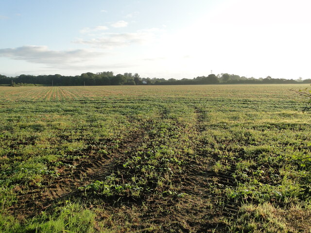
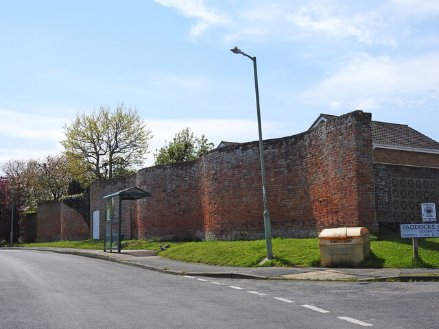
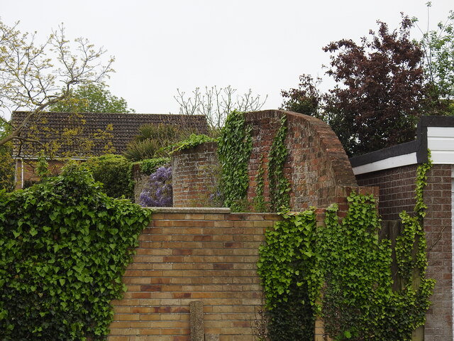
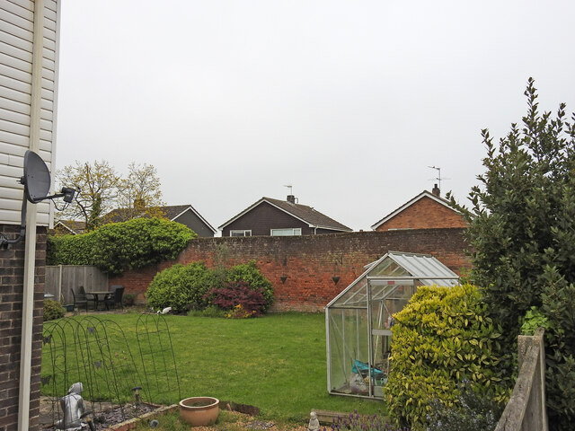
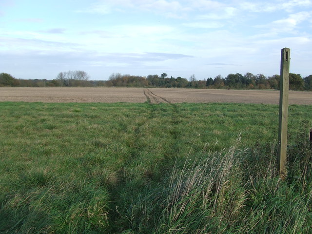
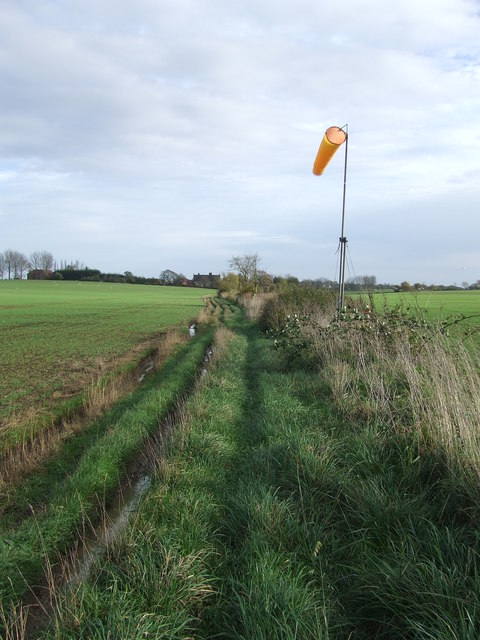
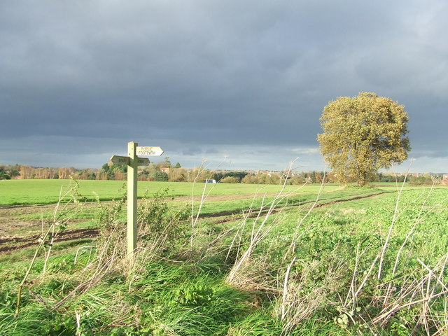
Ash Covert Images

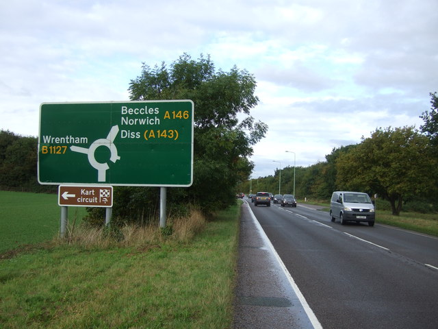
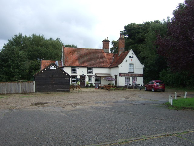
Images are sourced within 2km of 52.453799/1.6176817 or Grid Reference TM4590. Thanks to Geograph Open Source API. All images are credited.

Acheulean-mousterian cordate hand-axe The axe which measures 78mm x 65mm was found near this spot in 1980 and was identified by Norwich museum as being about 160,000 years old. The general location can be seen here <a title="https://www.geograph.org.uk/photo/6946241" href="https://www.geograph.org.uk/photo/6946241">Link</a>
Acheulean-mousterian cordate hand-axe
The axe which measures 78mm x 65mm was found near this spot in 1980 and was identified by Norwich museum as being about 160,000 years old. The general location can be seen here Link
Field at North Cove A flint hand axe was found in this field in 1980 <a href="https://www.geograph.org.uk/photo/6946234">TM4689 : Acheulean-mousterian cordate hand-axe</a>
Field at North Cove
A flint hand axe was found in this field in 1980 TM4689 : Acheulean-mousterian cordate hand-axe
A large serpentine wall This 12 foot high wall  was once protection for a walled garden, part of a kitchen garden probably associated with Worlingham Hall. Located in Garden Lane, it is from this garden that the road takes its name. 
This face extends to about 40 metres along the road, being the eastern side. A straight wall joins at the southeast corner and runs 60 metres westward and joins another serpentine wall running south to north terminating in the back garden of numbers 11 and 12 Paddocks Green. Originally covering about an acre, just over 0.4 of a hectare. 
The whole structure is grade II listed #1032014 and was constructed late 18th or early 19th century
A large serpentine wall
This 12 foot high wall was once protection for a walled garden, part of a kitchen garden probably associated with Worlingham Hall. Located in Garden Lane, it is from this garden that the road takes its name. This face extends to about 40 metres along the road, being the eastern side. A straight wall joins at the southeast corner and runs 60 metres westward and joins another serpentine wall running south to north terminating in the back garden of numbers 11 and 12 Paddocks Green. Originally covering about an acre, just over 0.4 of a hectare. The whole structure is grade II listed #1032014 and was constructed late 18th or early 19th century
Serpentine wall at Worlingham The wall along with <a href="https://www.geograph.org.uk/photo/7474493">TM4489 : A large serpentine wall</a> enclosed a walled garden of about one acre.
A view of the other end of this wall can be seen here <a href="https://www.geograph.org.uk/photo/7482320">TM4489 : Former walled garden at Worlingham</a>
Serpentine wall at Worlingham
The wall along with TM4489 : A large serpentine wall enclosed a walled garden of about one acre. A view of the other end of this wall can be seen here TM4489 : Former walled garden at Worlingham
Former walled garden at Worlingham The other end of <a href="https://www.geograph.org.uk/photo/7482318">TM4489 : Serpentine wall at Worlingham</a> 
See also <a href="https://www.geograph.org.uk/photo/7474493">TM4489 : A large serpentine wall</a>
Former walled garden at Worlingham
Footpath Footpath across a field near to North Cove, Suffolk.
Footpath
Footpath across a field near to North Cove, Suffolk.
Path And Wind Sock Footpath and wind sock near to North Cove, Suffolk.
Path And Wind Sock
Footpath and wind sock near to North Cove, Suffolk.
Footpath Junction Footpath junction near to Barnby, Suffolk.
Footpath Junction
Footpath junction near to Barnby, Suffolk.
Young crop field near Barnby Off New Road.
Young crop field near Barnby
Off New Road.
New Road Heading north west into Barnby on National Cycle Route 1.
New Road
Heading north west into Barnby on National Cycle Route 1.
Barnby Nursery Centre
Farmland, North Cove South of the A146.
Farmland, North Cove
South of the A146.
Woodland beside the A146
A146 westbound, North Cove At the junction with Brock Road.
A146 westbound, North Cove
At the junction with Brock Road.
Crop field and woodland near Gent's Farm Off Brock Road.
Crop field and woodland near Gent's Farm
Off Brock Road.
Brock Road Looking south near Gent's Farm.
Brock Road
Looking south near Gent's Farm.
A146 approaching roundabout Heading west.
A146 approaching roundabout
Heading west.
The Three Hoseshoes public house, North Cove On Lowestoft Road (the old A146).
The Three Hoseshoes public house, North Cove
On Lowestoft Road (the old A146).
Show me another place!

Ash Covert is located at Grid Ref: TM4590 (Lat: 52.453799, Lng: 1.6176817)

Administrative County: Suffolk

District: East Suffolk

Police Authority: Suffolk

What 3 Words

///breathing.galaxies.mimics. Near Beccles, Suffolk

Related Wikis

North Cove

North Cove is a village and civil parish in the north of the English county of Suffolk. It is part of the East Suffolk district, located around 3 miles...

Castle Marshes

Castle Marshes is a 71 hectare nature reserve west of Lowestoft in Suffolk. It is managed by the Suffolk Wildlife Trust. It is part of the Barnby Broad...

North Cove Nature Reserve

North Cove is a 15.5-hectare (38-acre) nature reserve between Beccles and Lowestoft in Suffolk. It is managed by the owner and Beccles Bird Society, is...

Worlingham

Worlingham is a village and civil parish in the East Suffolk district of the English county of Suffolk. It is about 1.3 miles (2.1 km) east of Beccles...

Have you been to Ash Covert?

Leave your review of Ash Covert below (or comments, questions and feedback).