Ash Wood
Wood, Forest in Suffolk East Suffolk
England
Ash Wood

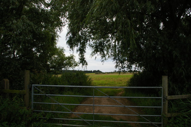
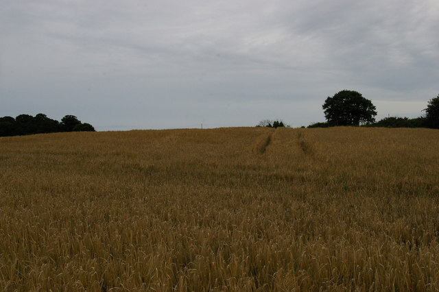
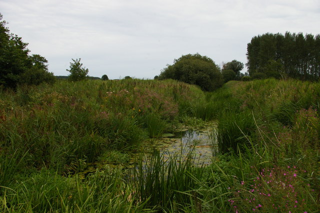
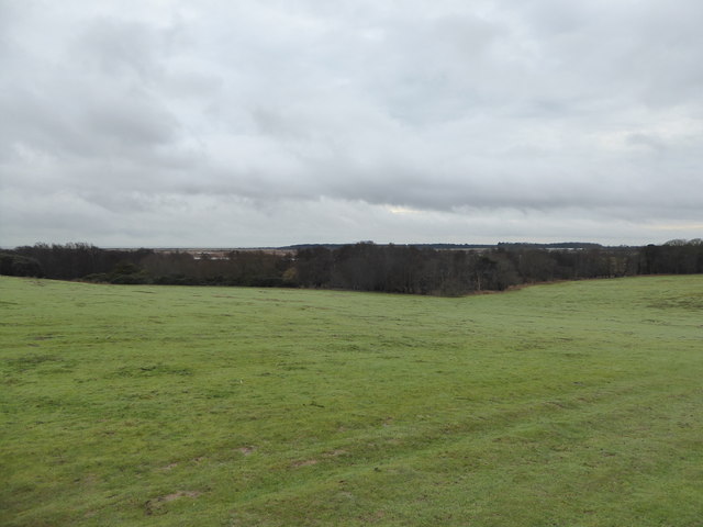
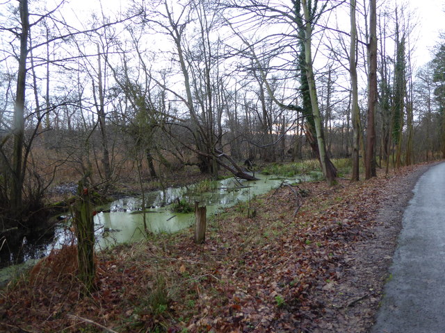
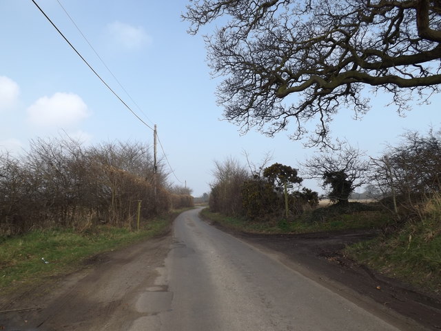
Ash Wood is a beautiful forest located in Suffolk, England. Spanning over an area of approximately 50 acres, it is known for its lush greenery and diverse wildlife. The forest is primarily composed of ash trees, hence the name, but it also features a mix of other tree species such as oak, beech, and birch.
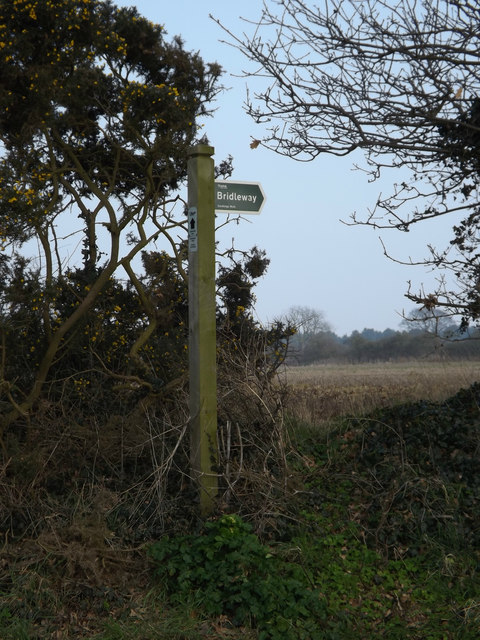
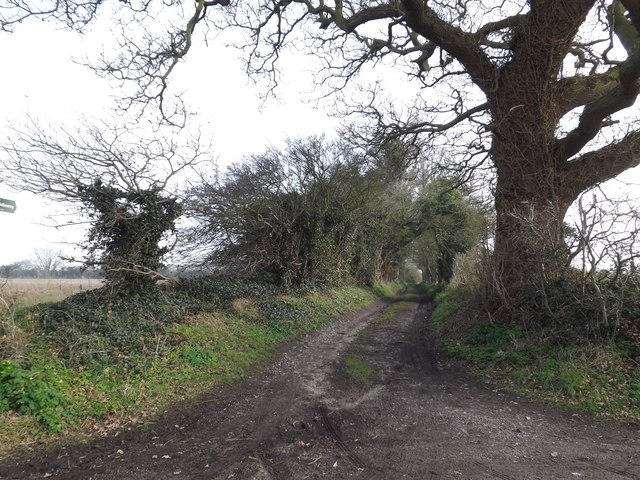
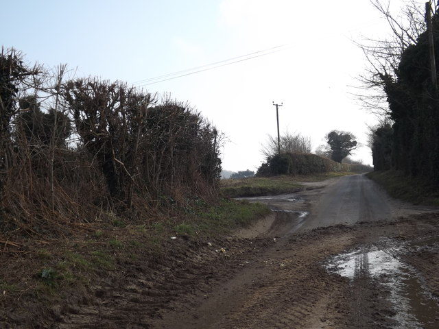
The forest is a popular destination for nature lovers and outdoor enthusiasts. It offers a range of recreational activities including walking trails, cycling routes, and picnic spots. The well-maintained paths allow visitors to explore the forest at their own pace and immerse themselves in the tranquility of nature.
Ash Wood is a haven for wildlife, harboring a variety of species within its borders. Birdwatchers can spot a wide range of birds including woodpeckers, owls, and various songbirds. The forest is also home to small mammals like rabbits, squirrels, and foxes.
During spring, the forest comes alive with vibrant wildflowers, creating a picturesque landscape. The changing colors of leaves during autumn make it a popular spot for photographers. The forest is well-managed, ensuring the preservation of its natural beauty and the protection of its inhabitants.
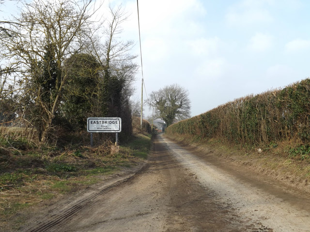
Ash Wood is easily accessible, located just a short distance from several nearby towns and villages. It provides an escape from the hustle and bustle of everyday life, allowing visitors to reconnect with nature and enjoy the peacefulness of the forest environment.
If you have any feedback on the listing, please let us know in the comments section below.
Ash Wood Images
Images are sourced within 2km of 52.229267/1.5993516 or Grid Reference TM4565. Thanks to Geograph Open Source API. All images are credited.


Ash Wood is located at Grid Ref: TM4565 (Lat: 52.229267, Lng: 1.5993516)
Administrative County: Suffolk
District: East Suffolk
Police Authority: Suffolk
What 3 Words
///hexes.ozone.refreshed. Near Leiston, Suffolk
Nearby Locations
Related Wikis

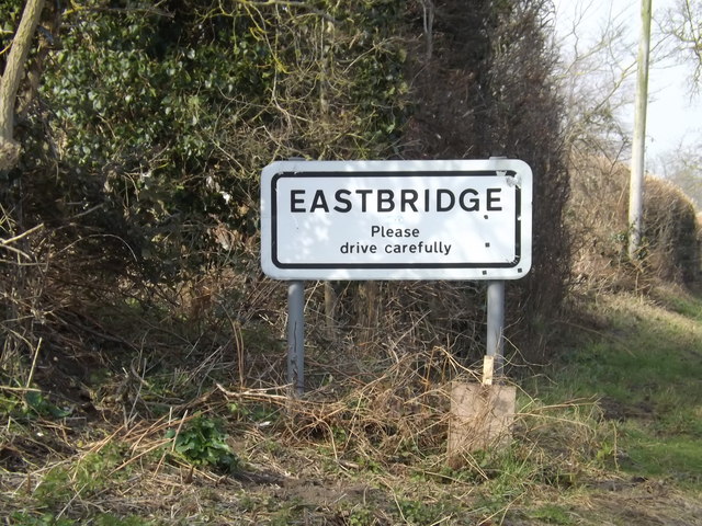
Eastbridge
Eastbridge is a village in the English county of Suffolk. It is located approximately 4 miles (6.4 km) north of Leiston, 2 miles (3.2 km) from the North...

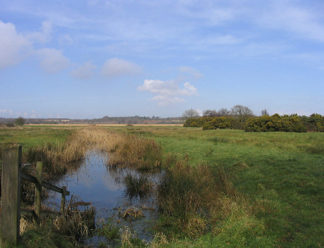
Sizewell Belts
Sizewell Marshes form a 260-acre (105.4 ha) biological Site of Special Scientific Interest adjacent to Sizewell in Suffolk. It is in the Suffolk Coast...

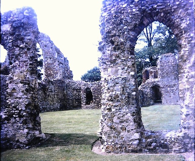
Leiston Abbey
Leiston Abbey outside the town of Leiston, Suffolk, England, was a religious house of Canons Regular following the Premonstratensian rule (White canons...

RSPB Minsmere
RSPB Minsmere is a nature reserve owned and managed by the Royal Society for the Protection of Birds (RSPB) at Minsmere, Suffolk. The 1,000-hectare (2...
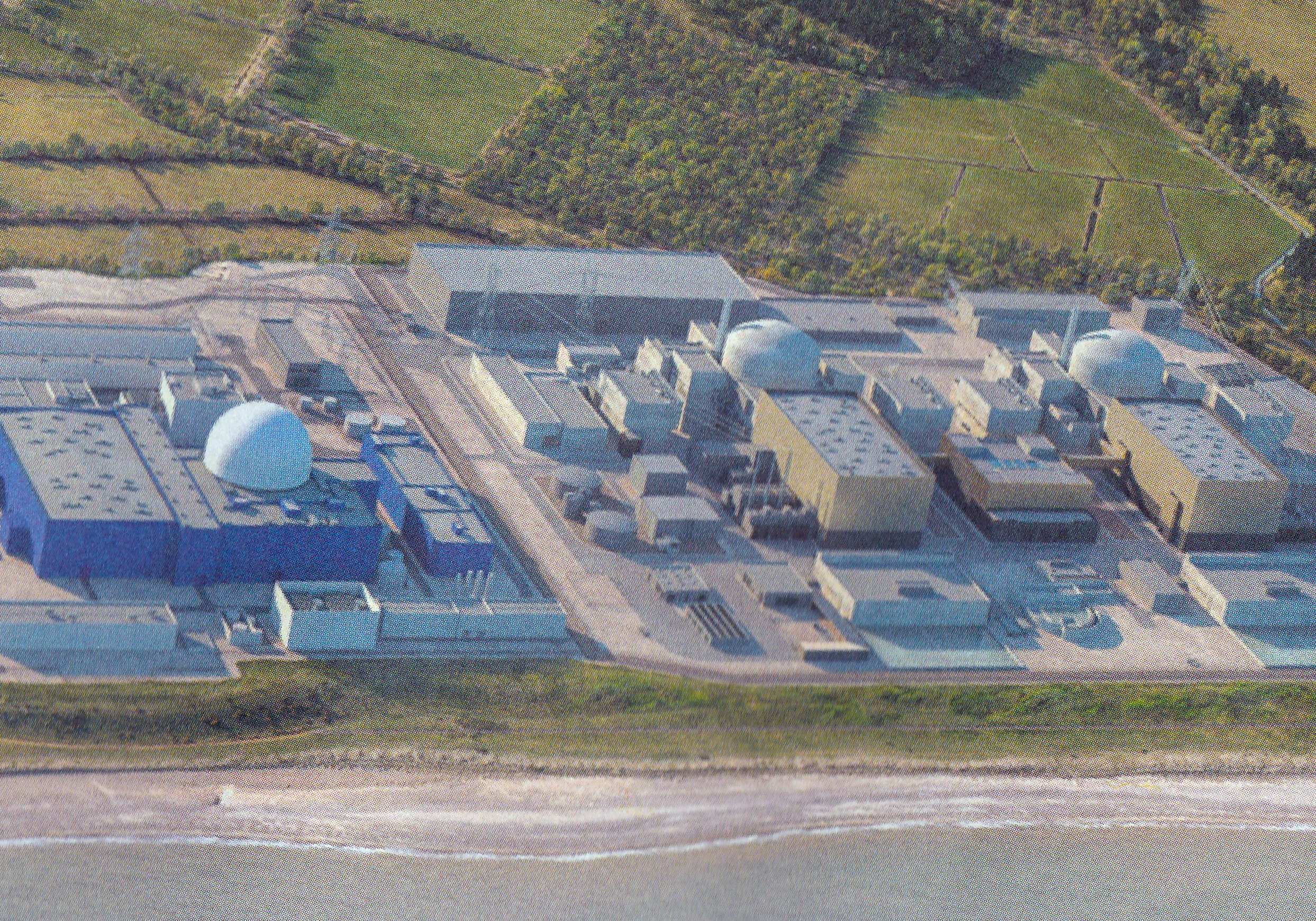
Sizewell C nuclear power station
Sizewell C nuclear power station is a project to construct a 3,200 MWe nuclear power station with two EPR reactors in Suffolk, England. The project was...
Minsmere
Minsmere is a place in the English county of Suffolk. It is located on the North Sea coast around 3.5 miles (5.6 km) north of Leiston and 1.5 miles (2...
Minsmere River
Minsmere River is a river in the English county of Suffolk which flows into the North Sea at Minsmere. The river is formed from the River Yox at Yoxford...

Theberton
Theberton is a village in Suffolk, England. It is located 4 miles (6 km) north-east of Saxmundham, and 3 miles (5 km) miles north of Leiston, its post...
Related Videos

Spring at last! A glimpse of ReVamp ReTreat Staycation near Minsmere, Suffolk in the spring.
We wanted to share the beautiful surroundings at our lodge, so here is a short video taken in the spring. Just a short walk away ...

Exploring Leiston Abbey ruins
A visit to Leiston Abbey ruins, exploring them and finding out more about the history and the current residents of the farmhouse ...

QUIETLY EXPLORING THE ANCIENT ENGLISH ABBEY RUINS OF LEISTON
walkingtour #history #abbey A QUIET TOUR OF LEISTEN ABBEY WITH INFORMATION TEXT ON THE HISTORY OF THE ...

Leiston Abbey ruins
Today I take a walk around the ruins of Leiston Abbey in Suffolk a 14th century monastery.
Have you been to Ash Wood?
Leave your review of Ash Wood below (or comments, questions and feedback).