Riverside Park

Downs, Moorland in Suffolk Great Yarmouth

England

Riverside Park

A junction of paths in Waveney Forest After years of local objections to turn this area into a huge gravel extraction pit, the woodland has recently been excluded from a list of sites required for extraction.
A junction of paths in Waveney Forest Credit: Evelyn Simak

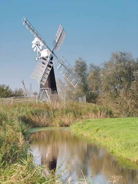
Riverside Park, Suffolk (Downs, Moorland) is a picturesque and expansive recreational area located in Suffolk, England. Spanning across a vast area of lush greenery and bordered by a serene river, the park offers a tranquil escape from the bustling city life.

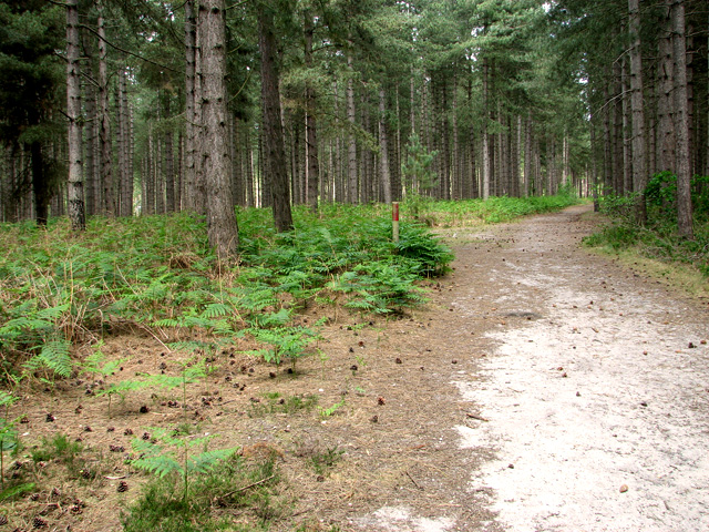
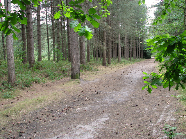
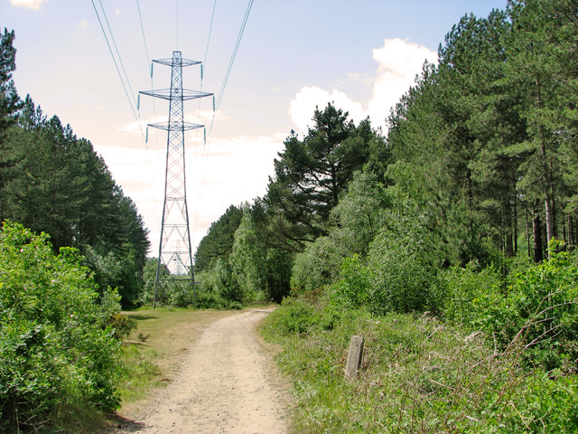
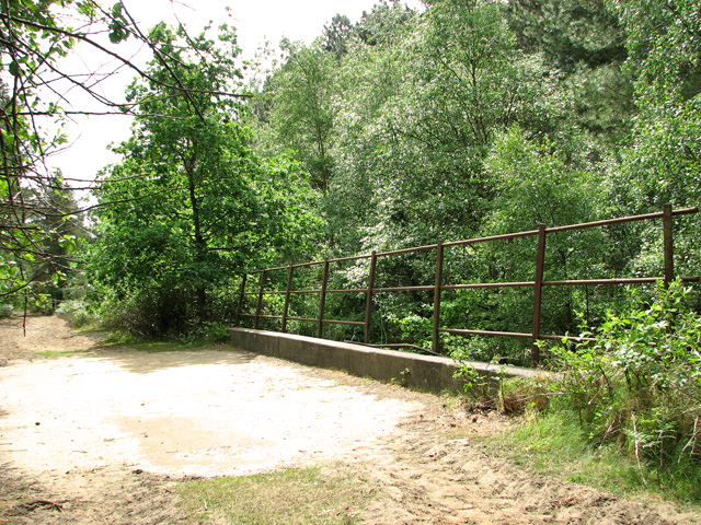
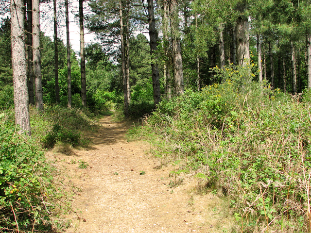
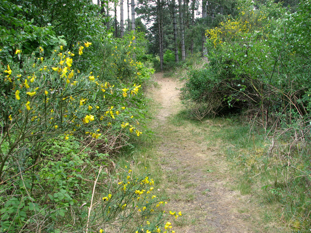
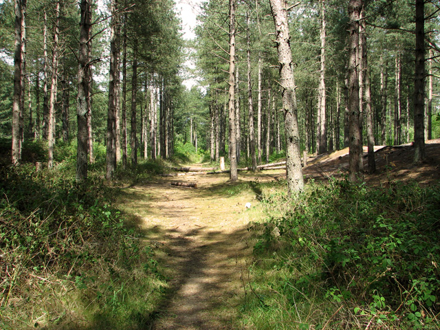
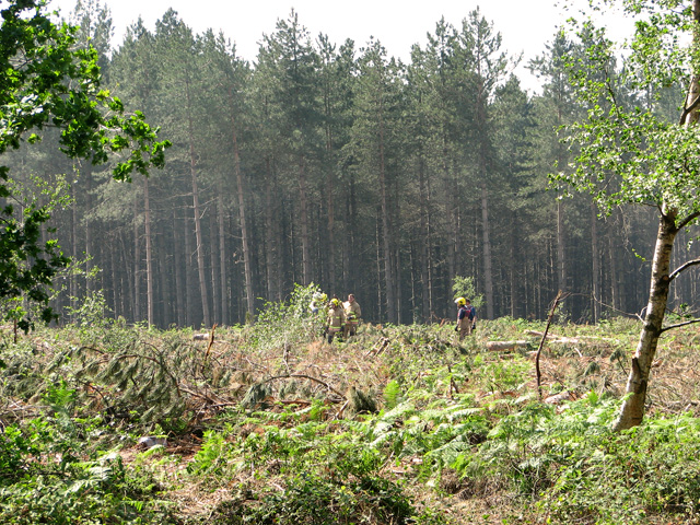
The park is characterized by its diverse landscape, encompassing both open downs and moorland areas. The downs feature rolling hills and sweeping vistas, creating a perfect setting for leisurely walks and picnics. The moorland, on the other hand, offers a more rugged and wild experience, with heathland, marshes, and ponds scattered throughout. These contrasting terrains provide ample opportunities for exploration and appreciation of the natural beauty.

Visitors to Riverside Park can also enjoy a variety of recreational activities. The park boasts well-maintained walking trails, ideal for both casual strolls and more challenging hikes. Birdwatchers will delight in the diverse avian species that inhabit the park, including herons, ducks, and various songbirds. Anglers can try their luck at fishing in the river, which is known for its abundant trout and salmon.

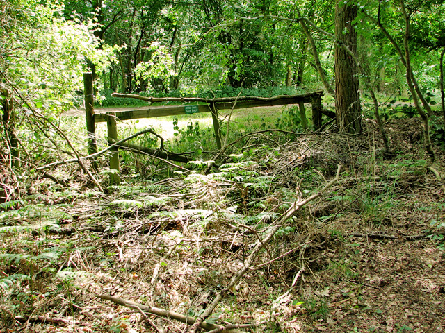
In addition to its natural attractions, Riverside Park offers amenities to enhance visitors' experiences. There are picnic areas equipped with benches and tables, allowing families and friends to enjoy meals amidst the scenic surroundings. A children's playground provides entertainment for younger visitors, while well-maintained restroom facilities ensure convenience for all.

Overall, Riverside Park, Suffolk (Downs, Moorland) is a haven for nature lovers and outdoor enthusiasts. Its combination of stunning landscapes, recreational activities, and convenient amenities make it a popular destination for both locals and tourists seeking a peaceful and rejuvenating retreat.

If you have any feedback on the listing, please let us know in the comments section below.

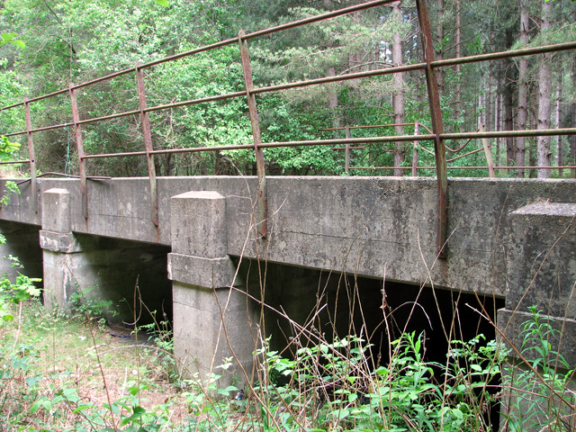
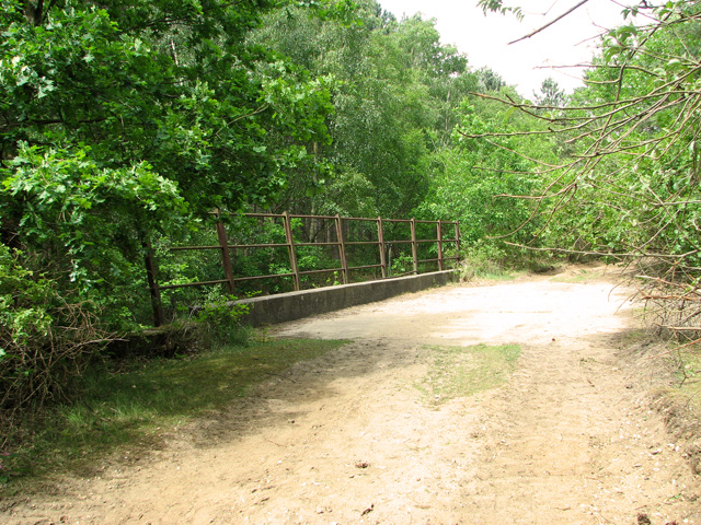
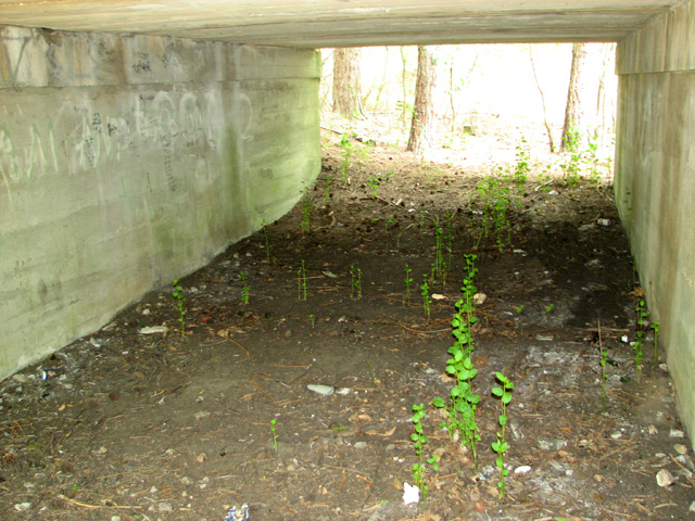
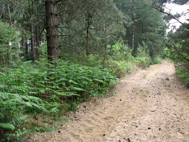
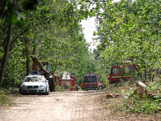
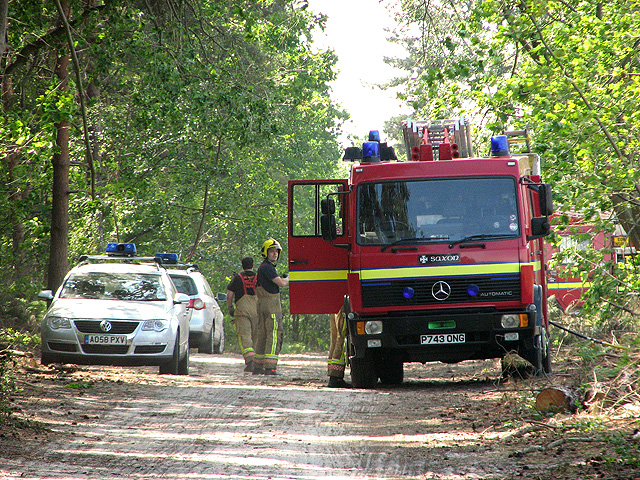
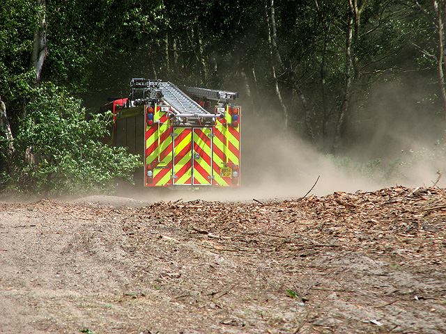
Riverside Park Images

Images are sourced within 2km of 52.534093/1.6215122 or Grid Reference TM4599. Thanks to Geograph Open Source API. All images are credited.

A junction of paths in Waveney Forest After years of local objections to turn this area into a huge gravel extraction pit, the woodland has recently been excluded from a list of sites required for extraction.
A junction of paths in Waveney Forest
After years of local objections to turn this area into a huge gravel extraction pit, the woodland has recently been excluded from a list of sites required for extraction.
One of the many paths traversing Waveney Forest After years of local objections to turn this area into a huge gravel extraction pit, the woodland has recently been excluded from a list of sites required for extraction.
One of the many paths traversing Waveney Forest
After years of local objections to turn this area into a huge gravel extraction pit, the woodland has recently been excluded from a list of sites required for extraction.
Electricity pylons in Waveney Forest The East Suffolk railway used to run past here and the concrete post of an old crossing gate can be seen in the foreground (at right).
Electricity pylons in Waveney Forest
The East Suffolk railway used to run past here and the concrete post of an old crossing gate can be seen in the foreground (at right).
East Suffolk line through Waveney Forest - bridged culvert The bridge carried the railway over a floodwater culvert. The line, initially running from Beccles to Halesworth, opened in 1854.  It was later continued north to Haddiscoe on what is now part of the Wherry Lines, and in 1859 was opened to reach as far south as Ipswich and north to Great Yarmouth.  The Beccles to Lowestoft branch line was opened in the same year.  In 1862 it became part of the Great Eastern Railway (GER).
East Suffolk line through Waveney Forest - bridged culvert
The bridge carried the railway over a floodwater culvert. The line, initially running from Beccles to Halesworth, opened in 1854. It was later continued north to Haddiscoe on what is now part of the Wherry Lines, and in 1859 was opened to reach as far south as Ipswich and north to Great Yarmouth. The Beccles to Lowestoft branch line was opened in the same year. In 1862 it became part of the Great Eastern Railway (GER).
East Suffolk line through Waveney Forest - bridged culvert The bridge carried the railway over a floodwater culvert. This is the view through one of the three culverts. The line, initially running from Beccles to Halesworth, opened in 1854.  It was later continued north to Haddiscoe on what is now part of the Wherry Lines, and in 1859 was opened to reach as far south as Ipswich and north to Great Yarmouth.  The Beccles to Lowestoft branch line was opened in the same year.  In 1862 it became part of the Great Eastern Railway (GER).
East Suffolk line through Waveney Forest - bridged culvert
The bridge carried the railway over a floodwater culvert. This is the view through one of the three culverts. The line, initially running from Beccles to Halesworth, opened in 1854. It was later continued north to Haddiscoe on what is now part of the Wherry Lines, and in 1859 was opened to reach as far south as Ipswich and north to Great Yarmouth. The Beccles to Lowestoft branch line was opened in the same year. In 1862 it became part of the Great Eastern Railway (GER).
East Suffolk line through Waveney Forest - now a track The sandy track follows the course of the dismantled railway line on its approach to Forest Lodge, a short distance further to the north from here.

The line, initially running from Beccles to Halesworth, opened in 1854.  It was later continued north to Haddiscoe on what is now part of the Wherry Lines, and in 1859 was opened to reach as far south as Ipswich and north to Great Yarmouth.  The Beccles to Lowestoft branch line was opened in the same year.  In 1862 it became part of the Great Eastern Railway (GER).
East Suffolk line through Waveney Forest - now a track
The sandy track follows the course of the dismantled railway line on its approach to Forest Lodge, a short distance further to the north from here. The line, initially running from Beccles to Halesworth, opened in 1854. It was later continued north to Haddiscoe on what is now part of the Wherry Lines, and in 1859 was opened to reach as far south as Ipswich and north to Great Yarmouth. The Beccles to Lowestoft branch line was opened in the same year. In 1862 it became part of the Great Eastern Railway (GER).
East Suffolk line through Waveney Forest Here the dismantled railway trackbed has narrowed to a path. The line, initially running from Beccles to Halesworth, opened in 1854.  It was later continued north to Haddiscoe on what is now part of the Wherry Lines, and in 1859 was opened to reach as far south as Ipswich and north to Great Yarmouth.  The Beccles to Lowestoft branch line was opened in the same year.  In 1862 it became part of the Great Eastern Railway (GER).
East Suffolk line through Waveney Forest
Here the dismantled railway trackbed has narrowed to a path. The line, initially running from Beccles to Halesworth, opened in 1854. It was later continued north to Haddiscoe on what is now part of the Wherry Lines, and in 1859 was opened to reach as far south as Ipswich and north to Great Yarmouth. The Beccles to Lowestoft branch line was opened in the same year. In 1862 it became part of the Great Eastern Railway (GER).
East Suffolk line through Waveney Forest - now a narrow path Broom is flowering beside the narrow sandy path which here follows the course of the dismantled East Suffolk railway line. The line, initially running from  Beccles to Halesworth, opened in 1854.  It was later continued north to Haddiscoe on what is now part of the Wherry Lines, and in 1859 was opened to reach as far south as Ipswich and north to Great Yarmouth.  The Beccles to Lowestoft branch line was opened in the same year.  In 1862 it became part of the Great Eastern Railway (GER).
East Suffolk line through Waveney Forest - now a narrow path
Broom is flowering beside the narrow sandy path which here follows the course of the dismantled East Suffolk railway line. The line, initially running from Beccles to Halesworth, opened in 1854. It was later continued north to Haddiscoe on what is now part of the Wherry Lines, and in 1859 was opened to reach as far south as Ipswich and north to Great Yarmouth. The Beccles to Lowestoft branch line was opened in the same year. In 1862 it became part of the Great Eastern Railway (GER).
East Suffolk line through Waveney Forest - a shallow cutting Here the railway ran through a shallow cutting. The trackbed has narrowed to a footpath. The line, initially running from Beccles to Halesworth, opened in 1854.  It was later continued north to Haddiscoe on what is now part of the Wherry Lines, and in 1859 was opened to reach as far south as Ipswich and north to Great Yarmouth.  The Beccles to Lowestoft branch line was opened in the same year.  In 1862 it became part of the Great Eastern Railway (GER).
East Suffolk line through Waveney Forest - a shallow cutting
Here the railway ran through a shallow cutting. The trackbed has narrowed to a footpath. The line, initially running from Beccles to Halesworth, opened in 1854. It was later continued north to Haddiscoe on what is now part of the Wherry Lines, and in 1859 was opened to reach as far south as Ipswich and north to Great Yarmouth. The Beccles to Lowestoft branch line was opened in the same year. In 1862 it became part of the Great Eastern Railway (GER).
East Suffolk line through Waveney Forest - gate by the Roundhouse A very dilapidated gate which asks to be kept closed stands at the end of the walkable section of the dismantled trackbed of the East Suffolk line. On the other side of the unmade road, the access road to the Roundhouse, the trackbed continues but is very overgrown.

The line, initially running from Beccles to Halesworth, opened in 1854.  It was later continued north to Haddiscoe on what is now part of the Wherry Lines, and in 1859 was opened to reach as far south as Ipswich and north to Great Yarmouth.  The Beccles to Lowestoft branch line was opened in the same year.  In 1862 it became part of the Great Eastern Railway (GER).
East Suffolk line through Waveney Forest - gate by the Roundhouse
A very dilapidated gate which asks to be kept closed stands at the end of the walkable section of the dismantled trackbed of the East Suffolk line. On the other side of the unmade road, the access road to the Roundhouse, the trackbed continues but is very overgrown. The line, initially running from Beccles to Halesworth, opened in 1854. It was later continued north to Haddiscoe on what is now part of the Wherry Lines, and in 1859 was opened to reach as far south as Ipswich and north to Great Yarmouth. The Beccles to Lowestoft branch line was opened in the same year. In 1862 it became part of the Great Eastern Railway (GER).
Fire engines in Fritton Wood During an exceptionally dry spring, a fire broke out in a section of Fritton Wood on 22 May 2011. Nine fire engines rushed to the site, and after several hours managed to get the fire under control.  The woodland was again open to the public on the following day, with walkers being advised by police to keep to the western parts because fire fighters were still busy dampening the scorched ground and putting out smaller fires that had, once again, flared up.
Fire engines in Fritton Wood
During an exceptionally dry spring, a fire broke out in a section of Fritton Wood on 22 May 2011. Nine fire engines rushed to the site, and after several hours managed to get the fire under control. The woodland was again open to the public on the following day, with walkers being advised by police to keep to the western parts because fire fighters were still busy dampening the scorched ground and putting out smaller fires that had, once again, flared up.
Fire fighters in Fritton Wood See also > <a title="https://www.geograph.org.uk/photo/2423032" href="https://www.geograph.org.uk/photo/2423032">Link</a>. During an exceptionally dry spring, a fire broke out in a section of Fritton Wood on 22 May 2011. Nine fire engines rushed to the site, and after several hours managed to get the fire under control.  The woodland was again open to the public on the following day, with walkers being advised by police to keep to the western parts because fire fighters were still busy dampening the scorched ground and putting out smaller fires that had, once again, flared up.
Fire fighters in Fritton Wood
See also > Link. During an exceptionally dry spring, a fire broke out in a section of Fritton Wood on 22 May 2011. Nine fire engines rushed to the site, and after several hours managed to get the fire under control. The woodland was again open to the public on the following day, with walkers being advised by police to keep to the western parts because fire fighters were still busy dampening the scorched ground and putting out smaller fires that had, once again, flared up.
Fire & Rescue in Fritton Wood See also > <a title="https://www.geograph.org.uk/photo/2423032" href="https://www.geograph.org.uk/photo/2423032">Link</a>. During an exceptionally dry spring, a fire broke out in a section of Fritton Wood on 22 May 2011. Nine fire engines rushed to the site, and after several hours managed to get the fire under control.  The woodland was again open to the public on the following day, with walkers being advised by police to keep to the western parts because fire fighters were still busy dampening the scorched ground and putting out smaller fires that had, once again, flared up.
Fire & Rescue in Fritton Wood
See also > Link. During an exceptionally dry spring, a fire broke out in a section of Fritton Wood on 22 May 2011. Nine fire engines rushed to the site, and after several hours managed to get the fire under control. The woodland was again open to the public on the following day, with walkers being advised by police to keep to the western parts because fire fighters were still busy dampening the scorched ground and putting out smaller fires that had, once again, flared up.
Fire engine and clouds of dust in Fritton Wood See also > <a title="https://www.geograph.org.uk/photo/2423032" href="https://www.geograph.org.uk/photo/2423032">Link</a>. During an exceptionally dry spring, a fire broke out in a section of Fritton Wood on 22 May 2011. Nine fire engines rushed to the site, and after several hours managed to get the fire under control.  The woodland was again open to the public on the following day, with walkers being advised by police to keep to the western parts because fire fighters were still busy dampening the scorched ground and putting out smaller fires that had, once again, flared up.
Fire engine and clouds of dust in Fritton Wood
See also > Link. During an exceptionally dry spring, a fire broke out in a section of Fritton Wood on 22 May 2011. Nine fire engines rushed to the site, and after several hours managed to get the fire under control. The woodland was again open to the public on the following day, with walkers being advised by police to keep to the western parts because fire fighters were still busy dampening the scorched ground and putting out smaller fires that had, once again, flared up.
Fire fighters in Fritton Wood They've just extinguished a small fire in this clearing. Their colleagues are still busy in the adjoining mature woodland. See also > <a title="https://www.geograph.org.uk/photo/2423032" href="https://www.geograph.org.uk/photo/2423032">Link</a>. During an exceptionally dry spring, a fire broke out in a section of Fritton Wood on 22 May 2011. Nine fire engines rushed to the site, and after several hours managed to get the fire under control.  The woodland was again open to the public on the following day, with walkers being advised by police to keep to the western parts because fire fighters were still busy dampening the scorched ground and putting out smaller fires that had, once again, flared up.
Fire fighters in Fritton Wood
They've just extinguished a small fire in this clearing. Their colleagues are still busy in the adjoining mature woodland. See also > Link. During an exceptionally dry spring, a fire broke out in a section of Fritton Wood on 22 May 2011. Nine fire engines rushed to the site, and after several hours managed to get the fire under control. The woodland was again open to the public on the following day, with walkers being advised by police to keep to the western parts because fire fighters were still busy dampening the scorched ground and putting out smaller fires that had, once again, flared up.
Fire fighters re-grouping in Fritton Wood They've just extinguished a small fire in this clearing > <a title="https://www.geograph.org.uk/photo/2423054" href="https://www.geograph.org.uk/photo/2423054">Link</a>. Their colleagues are still busy in the adjoining mature woodland. See also > <a title="https://www.geograph.org.uk/photo/2423032" href="https://www.geograph.org.uk/photo/2423032">Link</a>. During an exceptionally dry spring, a fire broke out in a section of Fritton Wood on 22 May 2011. Nine fire engines rushed to the site, and after several hours managed to get the fire under control.  The woodland was again open to the public on the following day, with walkers being advised by police to keep to the western parts because fire fighters were still busy dampening the scorched ground and putting out smaller fires that had, once again, flared up.
Fire fighters re-grouping in Fritton Wood
They've just extinguished a small fire in this clearing > Link. Their colleagues are still busy in the adjoining mature woodland. See also > Link. During an exceptionally dry spring, a fire broke out in a section of Fritton Wood on 22 May 2011. Nine fire engines rushed to the site, and after several hours managed to get the fire under control. The woodland was again open to the public on the following day, with walkers being advised by police to keep to the western parts because fire fighters were still busy dampening the scorched ground and putting out smaller fires that had, once again, flared up.
Show me another place!

Riverside Park is located at Grid Ref: TM4599 (Lat: 52.534093, Lng: 1.6215122)

Administrative County: Norfolk

District: Great Yarmouth

Police Authority: Norfolk

What 3 Words

///circus.cautious.spell. Near Reedham, Norfolk

Nearby Locations

Riverside Park

Related Wikis

St Olaves

St Olaves is a village in the English county of Norfolk. The village is situated on the River Waveney, 6 miles (10 km) south-west of the town of Great...

Haddiscoe railway station (Norfolk Railway)

This was the original Haddiscoe railway station serving Haddiscoe, Norfolk. It was opened in 1847 by the Norfolk Railway and closed in 1904. Upon closure...

St Olaves railway station

St Olaves was a station in St. Olaves. It was on the Great Eastern Railway between Great Yarmouth and London. It was first opened in June 1859. After just...

St Olaves Priory, Herringfleet

Herringfleet Priory (also St Olave's Priory) was an Augustinian priory of Black Canons located in St Olaves, 6 miles (9.7 km) north-west of Lowestoft in...

Nearby Amenities

Located within 500m of 52.534093,1.6215122
Fixme: Where does Public Footpath go from here?
Lat/Long: 52.5379606/1.6205591
St Olaves
Place: village
Wikidata: Q7595001
Lat/Long: 52.5369334/1.626706
Traffic Signals
Traffic Signals: bridge
Traffic Signals Direction: forward
Lat/Long: 52.5372515/1.6210211
Traffic Signals
Note: Definitive Statement suggests Old Parish of Herringfleet FP 1 starts here.
Traffic Signals: bridge
Traffic Signals Direction: backward
Lat/Long: 52.5373089/1.6220043
Bus Stop
Herringfleet Road
Bus: yes
Naptan AtcoCode: 2900F242
Naptan Bearing: E
Naptan BusStopType: CUS
Naptan CommonName: Herringfleet Road
Naptan Indicator: opp
Naptan Locality: St Olave's
Naptan NaptanCode: nfoapwjd
Naptan ShortCommonName: Beccles Road
Naptan Street: Beccles Road
Public Transport: platform
Shelter: no
Source: naptan_import;survey
Lat/Long: 52.5372421/1.6267007
Crossing
Crossing: uncontrolled
Tactile Paving: yes
Lat/Long: 52.5364139/1.6263691
Crossing
Crossing: unmarked
Crossing Island: no
Tactile Paving: yes
Lat/Long: 52.5365169/1.6261008
Post Box
Collection Times: Mo-Fr 09:00; Sa 07:00
Operator: Royal Mail
Post Box Design: type_b
Post Box Type: pillar
Ref: NR31 3150D
Royal Cypher: GVIR
Royal Cypher Wikidata: Q33102169
Lat/Long: 52.5366198/1.6260219
Post Box
Collection Times: Mo-Fr 09:00; Sa 07:00
Label Date: 2023-05-24
Operator: Royal Mail
Post Box Mounting: pier
Post Box Type: lamp
Ref: NR31 3148D
Royal Cypher: EIIR
Lat/Long: 52.5328787/1.6144767
Haddiscoe
Historic Railway: station
Railway: site
Source: OS 1:25k
Wikidata: Q5637679
Wikipedia: en:Haddiscoe railway station (Norfolk Railway)
Lat/Long: 52.5342327/1.6169111
River Board Level Crossing
Colour: grey
Crossing Barrier: double_half
Crossing Bell: yes
Crossing Light: yes
Crossing Supervision: no
Material: aluminium
Mileage: NOL 16m 01ch
Railway: level_crossing
Ref: TM 457 986
Lat/Long: 52.5305601/1.6217917
River Board Level Crossing
Colour: grey
Crossing Barrier: double_half
Crossing Bell: yes
Crossing Light: yes
Crossing Supervision: no
Material: aluminium
Mileage: NOL 16m 01ch
Railway: level_crossing
Ref: TM 457 986
Lat/Long: 52.5305448/1.6217472
Bench
St Olaves
Backrest: yes
Colour: grey
Inscription: The St Olaves Village Sign / This sign was unveiled on Christmas Day 2015 by Dr Fiona Cowan / The village and its Priory take their name from Saint Olaf Haraldsson, King of Norway, 995–1030AD. / The sign’s theme incorporates architectural elements as seen
Inscription 2: in the Priory Undercroft, its curved exterior reflecting the vaulted ceiling set on supportive arched beams and capped by the Viking King’s Ceremonial Crown. / The central image depicts a Viking longboat under sail and oar and on its mainsail, symbols of
Inscription 3: the Norwegian King’s regal authority. These iconic images are taken from the Priory Seal, a Viking double-handed war axe and the cross of Christianity mounted above the Royal Orb, crossed behind a circular Viking shield. / The undercroft and Priory Seal
Inscription 4: details can be viewed at the St Olaves Priory site opposite / The Village Sign Primary Sponsors / Artwork, Design & Manufacture by CDR Systems Ltd / Mr Jeffrey Crowed / Mrs Jane Crowder / Mr Kevin Crowder / Buckworth’s Garage Ltd / Mr Les Buckworth /
Inscription 5: GDC Ltd / Mr Colin Barnes / Parkside Denture Studio Ltd / Mr Martin Smith / Mrs Suzanne Smith / Priory Farm / Ms Jacky Green / Mr Grant Hardy / Priory Farm Restaurant / Roz Green / Proprietor Stephen & Jeanette Teasdale / St Olaves Village Hall Trust /
Inscription 6: The Bell Public House / The Alibone Family / The Simpson Family / The Village Sign Community Support / We are most grateful for the generous contributions and untiring efforts of the local community and organisations in helping to organise and fund this
Inscription 7: village sign. / Fritton & St Olaves Parish Council Chairman Mr Allan Mendum & Council Members / St Olaves Village Hall Trust Chairman Mr Dennis Sewell & Committee Members / Village Sign Committee Chairman Dr Fiona Cowan & Committee Members
Man Made: village_sign
Material: metal
Lat/Long: 52.5370684/1.6252832
Give Way
Lat/Long: 52.5370949/1.6256285
Entrance: yes
Lat/Long: 52.5349104/1.615528
Noexit: yes
Lat/Long: 52.5368457/1.6233185
Noexit: yes
Lat/Long: 52.5368971/1.6229631
St Olaves
Colour: yellow;white;black;red
Inscription: 30 / Please drive carefully
Traffic Sign: city_limit
Lat/Long: 52.5369958/1.6196117
Access: private
Booth: K6
Man Made: telephone_box
Lat/Long: 52.5366611/1.6262423
Location Transition: yes
Power: pole
Lat/Long: 52.5303504/1.6213216
Power: pole
Lat/Long: 52.5299433/1.6219077
Grit Bin
Colour: yellow
Lat/Long: 52.5305621/1.6216455
Phone
Colour: yellow
Emergency: phone
Lat/Long: 52.5305694/1.6218674
Phone
Colour: yellow
Emergency: phone
Lat/Long: 52.5305719/1.6216394
Crossing: traffic_signals
Crossing Barrier: no
Crossing Bell: yes
Crossing Light: yes
Crossing Supervision: no
Railway: crossing
Lat/Long: 52.530616/1.621737
Crossing: traffic_signals
Crossing Barrier: no
Crossing Bell: yes
Crossing Light: yes
Crossing Supervision: no
Railway: crossing
Lat/Long: 52.5306011/1.6216913
Waste Basket
Colour: red
Material: plastic
Waste: dog_excrement
Lat/Long: 52.5344282/1.6163897
Noexit: yes
Lat/Long: 52.5374885/1.6219338
Crossing
Crossing: unmarked
Lat/Long: 52.5370157/1.6256885
Crossing
Crossing: unmarked
Lat/Long: 52.5370763/1.6241221
Buckworth's Garage
Shop: car_repair
Lat/Long: 52.5370247/1.6260867
The data included in this document is from www.openstreetmap.org. The data is made available under ODbL.

Have you been to Riverside Park?

Leave your review of Riverside Park below (or comments, questions and feedback).