Burgh Common

Downs, Moorland in Norfolk Great Yarmouth

England

Burgh Common

All Saint's Church, Billockby The church dates from the 15th century. The roof of the nave collapsed in a storm on 15 July 1762; the nave and tower, of Perpendicular style, is in ruins. The nave is of knapped flint, and has large windows with remains of tracery. 

The chancel is known to have been in use in 1762. It was restored in 1872 and is still in regular use. It is of flint with ashlar dressings, and has a thatched roof.
All Saint's Church, Billockby Credit: Brian Deegan

Burgh Common is a rural area located in the county of Norfolk, England. It is situated in the eastern part of the county, between the towns of Great Yarmouth and Lowestoft. The common is characterized by its diverse landscape, which includes both downs and moorland.

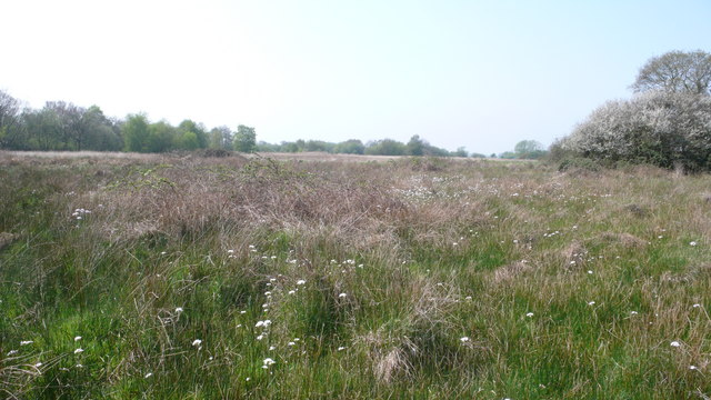
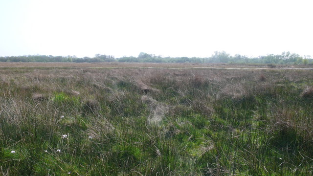
The downs of Burgh Common are rolling hills covered in a mixture of grassland and heathland. This open terrain provides breathtaking views of the surrounding countryside, with patches of vibrant wildflowers adding color to the landscape. The downs are home to a variety of wildlife, including rabbits, hares, and many species of birds.

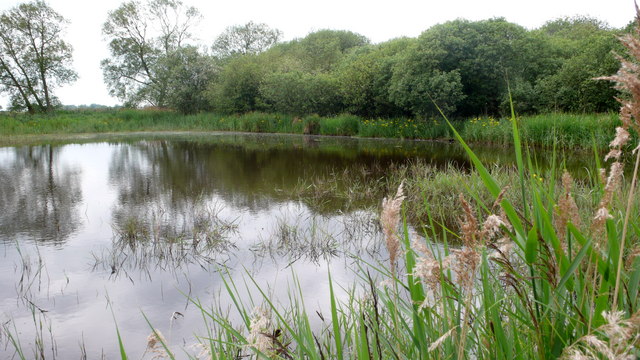
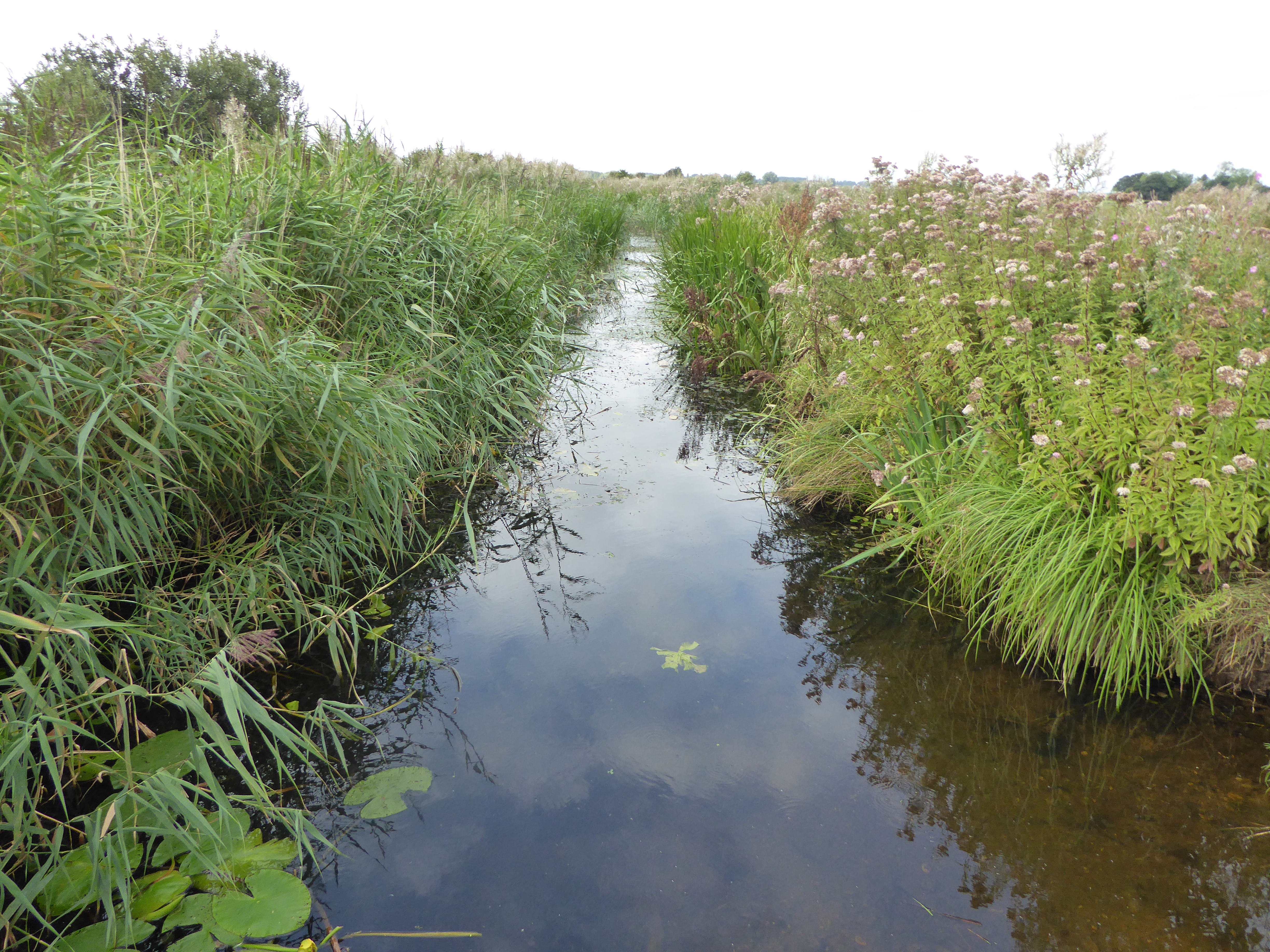
The moorland of Burgh Common is a unique feature of the area, characterized by its wet and boggy terrain. It is covered in heather, gorse, and mosses, creating a distinct and picturesque environment. This moorland habitat supports a range of plant and animal species, including marsh orchids and dragonflies.

Burgh Common is a popular destination for outdoor enthusiasts and nature lovers. The area offers numerous walking trails and paths, allowing visitors to explore the diverse landscape at their own pace. It is also a haven for birdwatchers, with several bird hides providing excellent vantage points for observing the local avian population.

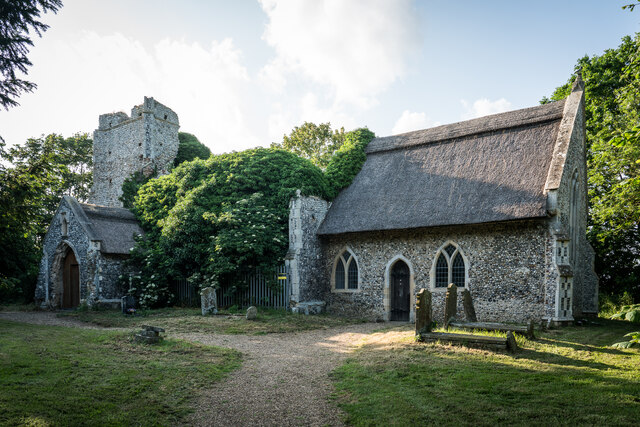
In addition to its natural beauty, Burgh Common also has a historical significance. The remains of a Roman fort can be found on the downs, adding an element of archaeological interest to the area.

Overall, Burgh Common is a picturesque and ecologically diverse region in Norfolk, offering visitors a chance to immerse themselves in nature and discover the rich history of the area.

If you have any feedback on the listing, please let us know in the comments section below.
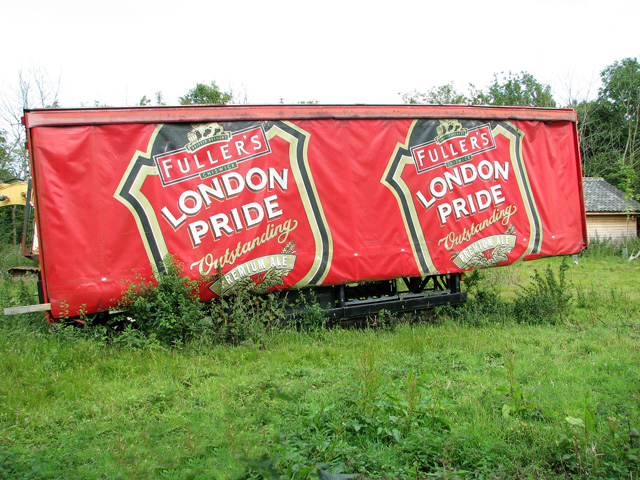
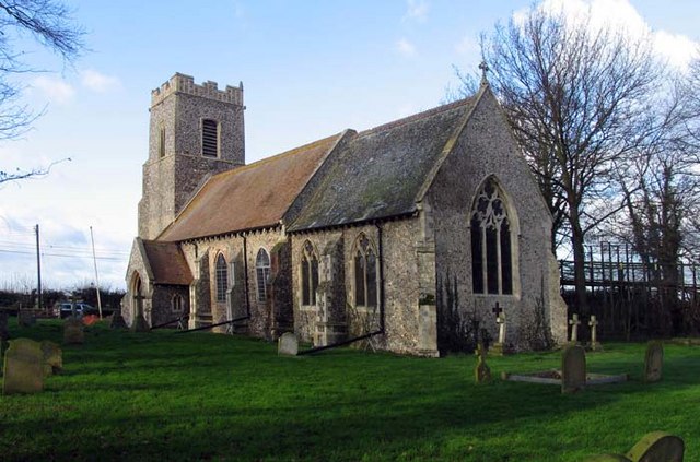
Burgh Common Images

Images are sourced within 2km of 52.657915/1.6181558 or Grid Reference TG4412. Thanks to Geograph Open Source API. All images are credited.

All Saint's Church, Billockby The church dates from the 15th century. The roof of the nave collapsed in a storm on 15 July 1762; the nave and tower, of Perpendicular style, is in ruins. The nave is of knapped flint, and has large windows with remains of tracery. 

The chancel is known to have been in use in 1762. It was restored in 1872 and is still in regular use. It is of flint with ashlar dressings, and has a thatched roof.
All Saint's Church, Billockby
The church dates from the 15th century. The roof of the nave collapsed in a storm on 15 July 1762; the nave and tower, of Perpendicular style, is in ruins. The nave is of knapped flint, and has large windows with remains of tracery. The chancel is known to have been in use in 1762. It was restored in 1872 and is still in regular use. It is of flint with ashlar dressings, and has a thatched roof.
Burgh Common The white flower is Lady's Smock, also known as the Cuckoo Flower, a typical marsh flower <en.wikipedia.org/wiki/Cardamine_pratensis>
Burgh Common
The white flower is Lady's Smock, also known as the Cuckoo Flower, a typical marsh flower <en.wikipedia.org/wiki/Cardamine_pratensis>
Burgh Common The electrified tape is to keep grazing cattle from an area of sedge. The sedge will be cut in future for use as roofing thatch.
Burgh Common
The electrified tape is to keep grazing cattle from an area of sedge. The sedge will be cut in future for use as roofing thatch.
Lily Broad Neck The narrow channel between Lily Broad and Rollesby Broad.
Lily Broad Neck
The narrow channel between Lily Broad and Rollesby Broad.
Lily Broad Collecting water samples for testing.
Lily Broad
Collecting water samples for testing.
Lily Broad There were some large fish swimming in this shallow water mostly bream (?) and a pike. The yellow water lilies are just flowering.
Lily Broad
There were some large fish swimming in this shallow water mostly bream (?) and a pike. The yellow water lilies are just flowering.
Rollesby Broad Neck Reed bed and water lily.
Rollesby Broad Neck
Reed bed and water lily.
Lily Broad
Lily Broad
Burgh Common Pond
Burgh Common
Pond
Filby Board Walk - water violet Water violet &amp;lt;&lt;span class=&quot;nowrap&quot;&gt;&lt;a title=&quot;http://en.wikipedia.org/wiki/Water_Violet&amp;gt;&quot; rel=&quot;nofollow ugc noopener&quot; href=&quot;http://en.wikipedia.org/wiki/Water_Violet&amp;gt;&quot;&gt;Link&lt;/a&gt;&lt;img style=&quot;margin-left:2px;&quot; alt=&quot;External link&quot; title=&quot;External link - shift click to open in new window&quot; src=&quot;https://s1.geograph.org.uk/img/external.png&quot; width=&quot;10&quot; height=&quot;10&quot;/&gt;&lt;/span&gt; next to the board walk between Filby Bridge car park and the bird hide.
Filby Board Walk - water violet
Water violet <LinkExternal link next to the board walk between Filby Bridge car park and the bird hide.
Pond at Falgate Farm, Burgh St Margaret
View across The Nab, Burgh St Margaret
Falgate Farm, Burgh St Margaret
Footpath skirting The Nab, Burgh St Margaret Falgate Farm can be seen in the background.
Footpath skirting The Nab, Burgh St Margaret
Falgate Farm can be seen in the background.
Woodland on the edge of The Nab, Burgh St Margaret
Cottage by The Nab, Burgh St Margaret
Parked by the edge of The Nab, Burgh St Margaret
Show me another place!

Burgh Common is located at Grid Ref: TG4412 (Lat: 52.657915, Lng: 1.6181558)

Administrative County: Norfolk

District: Great Yarmouth

Police Authority: Norfolk

What 3 Words

///types.glimmers.shiver. Near Ormesby St Margaret, Norfolk

Nearby Locations

Little Broad Burgh Common

Related Wikis

Burgh Common and Muckfleet Marshes

Burgh Common and Muckfleet Marshes is a 121.5-hectare (300-acre) biological Site of Special Scientific Interest south of Fleggburgh in Norfolk. It is...

Filby Broad

Filby Broad is one of five broads (lakes) in the Trinity Broads in Norfolk, England. It lies within the Broads National Park, adjacent to the village...

Fleggburgh

Burgh St Margaret, also known as Fleggburgh, is a village and civil parish in the English county of Norfolk. The village is located 6 miles (9.7 km) north...

Thrigby

Thrigby is a village and former civil parish 14 miles (23 km) east of Norwich, now in the parish of Mautby, in the Great Yarmouth district, in the county...

Nearby Amenities

Located within 500m of 52.657915,1.6181558
The data included in this document is from www.openstreetmap.org. The data is made available under ODbL.

Have you been to Burgh Common?

Leave your review of Burgh Common below (or comments, questions and feedback).