Aldringham Green

Downs, Moorland in Suffolk East Suffolk

England

Aldringham Green

Moth Sculpture One of a series of sculptures along the Sandlings Walk.
Moth Sculpture Credit: Jon Hopkins

Aldringham Green is a charming rural village located in the county of Suffolk, England. Situated on the eastern coast of the country, the village is nestled between the towns of Aldeburgh and Leiston. With a population of just over 200 residents, Aldringham Green offers a peaceful and close-knit community atmosphere.

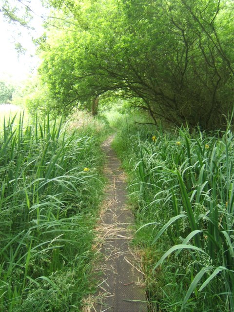
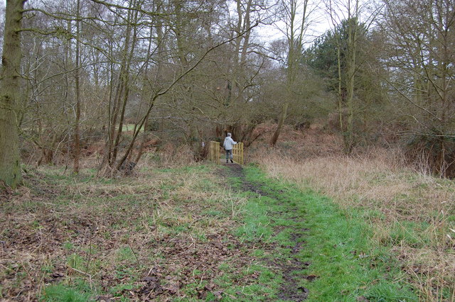
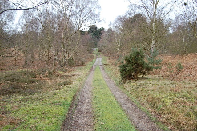
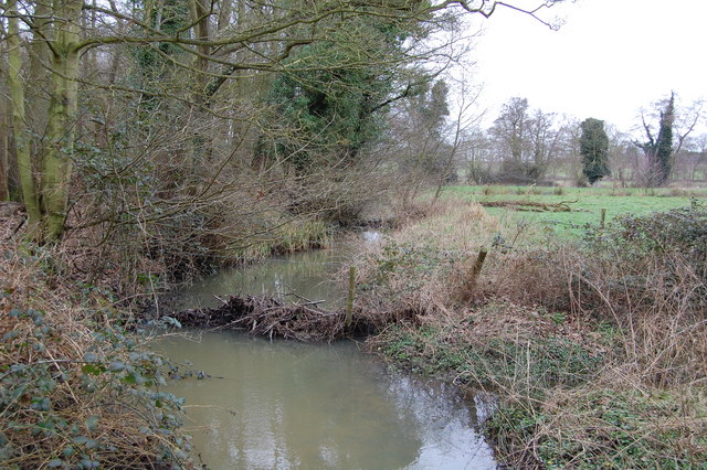
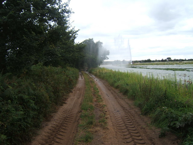
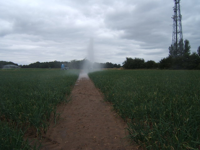
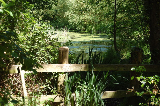
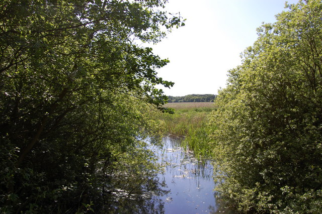
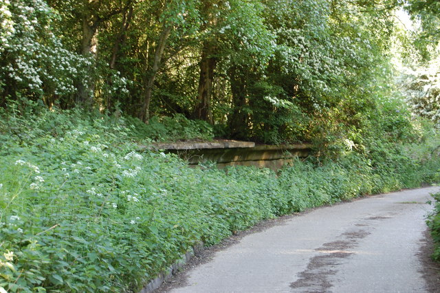
The village boasts stunning natural landscapes, with rolling downs and moorland stretching as far as the eye can see. The downs, characterized by their gently sloping hills, provide breathtaking views of the surrounding countryside. Moorland areas, on the other hand, offer a unique and diverse ecosystem, rich in wildlife and flora.

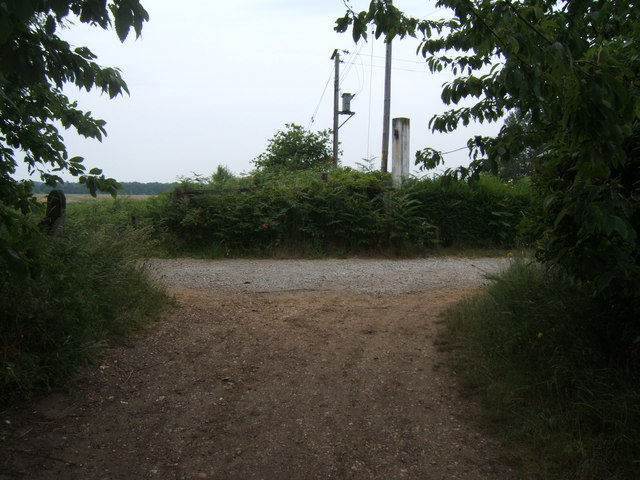
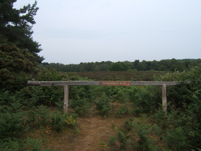
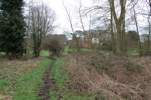
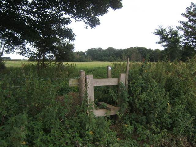
Aldringham Green is known for its picturesque countryside walks, attracting outdoor enthusiasts and nature lovers alike. The area is crisscrossed with footpaths and bridleways, allowing visitors to explore the beauty of the downs and moorland at their own pace. The village is also home to several nature reserves, providing a haven for rare and protected species.

Despite its rural setting, Aldringham Green is conveniently located near the towns of Aldeburgh and Leiston. Residents can easily access a range of amenities, including shops, schools, and healthcare facilities. The village also benefits from good transport links, with regular bus services connecting it to nearby towns and cities.

In summary, Aldringham Green offers a tranquil and idyllic setting, surrounded by stunning downs and moorland. With its close community spirit, breathtaking natural landscapes, and convenient location, it is a highly sought-after place to live or visit in Suffolk.

If you have any feedback on the listing, please let us know in the comments section below.

Aldringham Green Images

Images are sourced within 2km of 52.191596/1.5799126 or Grid Reference TM4460. Thanks to Geograph Open Source API. All images are credited.

Moth Sculpture One of a series of sculptures along the Sandlings Walk.
Moth Sculpture
One of a series of sculptures along the Sandlings Walk.
Footpath crossing Looking along the line of a footpath crossing the Sandlings Walk, which runs from left to right. See <a href="https://www.geograph.org.uk/photo/66499">TM4559 : Moth Sculpture</a>
Footpath crossing
Looking along the line of a footpath crossing the Sandlings Walk, which runs from left to right. See TM4559 : Moth Sculpture
Track off Sandlings Walk Leading to Chapel Farm
Track off Sandlings Walk
Leading to Chapel Farm
Radio mast by Sandlings Walk
Track leading off Sandlings Walk by Round Covert Sandlings Walk runs left to right across the picture.
Track leading off Sandlings Walk by Round Covert
Sandlings Walk runs left to right across the picture.
Footbridge over stream
Footpath The footpath across this marshy area is made of old railway sleepers laid end to end.
Footpath
The footpath across this marshy area is made of old railway sleepers laid end to end.
Footpath junction near Thorpeness The path running left to right follows the course of a dismantled railway. The remains of a level crossing gate are still embedded in the hedge straight ahead.
Footpath junction near Thorpeness
The path running left to right follows the course of a dismantled railway. The remains of a level crossing gate are still embedded in the hedge straight ahead.
North Warren RSPB Conservation area near B1122
Footpath leading to Bird's Farm, Aldringham
Footbridge over Hundred River , Aldringham
Track near Aldringham
Hundred River, Aldringham
Stile at 'The Belts'.
Farm track and footpath near Ten Acre covert It needed careful timing to dodge the irrigation spray!
Farm track and footpath near Ten Acre covert
It needed careful timing to dodge the irrigation spray!
Footpath across field Had to dodge the irrigation spray.
Footpath across field
Had to dodge the irrigation spray.
Meare backwater Quiet, shady corner of the otherwise busy lake
Meare backwater
Quiet, shady corner of the otherwise busy lake
The Fens from Sheepwash Crossing The bridge on the former Saxmundham to Aldeburgh rail line crosses the cut from the bird reserve fen that feeds the Meare
The Fens from Sheepwash Crossing
The bridge on the former Saxmundham to Aldeburgh rail line crosses the cut from the bird reserve fen that feeds the Meare
Show me another place!

Aldringham Green is located at Grid Ref: TM4460 (Lat: 52.191596, Lng: 1.5799126)

Administrative County: Suffolk

District: East Suffolk

Police Authority: Suffolk

What 3 Words

///lame.reserved.bitter. Near Leiston, Suffolk

Related Wikis

Aldringham

Aldringham is a village in the Blything Hundred of Suffolk, England. The village is located 1 mile (1½ km) south of Leiston and 3 miles (4½ km) northwest...

Alde Valley Academy

Alde Valley Academy is a secondary school with academy status in Leiston in the English county of Suffolk. It has approximately 500 pupils aged 11 to...

Thorpeness railway station

Thorpeness railway station served the seaside resort of Thorpeness in Suffolk, England. It was opened in 1914 by the Great Eastern Railway on its 8.5-mile...

Leiston F.C.

Leiston Football Club is a football club based in Leiston, Suffolk, England. They are currently members of the Southern League Premier Division Central...

Nearby Amenities

Located within 500m of 52.191596,1.5799126
Aldringham
Created By: Potlatch 0.10b
Place: village
Source: npe
Wikidata: Q2778546
Lat/Long: 52.1938781/1.5785584
Bus Stop
Parrot & Punchbowl
Bus: yes
Naptan AtcoCode: 390060178
Naptan Bearing: N
Naptan CommonName: Parrot & Punchbowl
Naptan Indicator: N-bound
Naptan Landmark: Parrot & Punchbowl
Naptan NaptanCode: sufgmwgp
Naptan Street: Aldeburgh Road
Naptan Verified: no
Public Transport: platform
Shelter: yes
Source: naptan_import
Lat/Long: 52.1928024/1.5777412
Bus Stop
Parrot & Punchbowl
Naptan AtcoCode: 390060179
Naptan Bearing: S
Naptan CommonName: Parrot & Punchbowl
Naptan Indicator: S-bound
Naptan Landmark: Parrot & Punchbowl
Naptan NaptanCode: sufgmwgt
Naptan Street: Aldeburgh Road
Naptan Verified: no
Public Transport: platform
Shelter: yes
Source: naptan_import
Lat/Long: 52.1927528/1.5780011
Bus Stop
Parrot & Punchbowl
Naptan AtcoCode: 390060943
Naptan Bearing: NW
Naptan CommonName: Parrot & Punchbowl
Naptan Indicator: W-bound
Naptan Landmark: Parrot & Punchbowl
Naptan NaptanCode: sufjmapt
Naptan Street: B1353
Naptan Verified: no
Source: naptan_import
Lat/Long: 52.1930361/1.5780666
Grit Bin
Lat/Long: 52.1933424/1.5773529
Information: board
Lat/Long: 52.1933495/1.577285
Waste Basket
Lat/Long: 52.1927364/1.5753654
Post Box
Collection Times: Mo-Fr 10:00; Sa 10:00
Post Box Type: lamp
Ref: IP16 4685
Royal Cypher: EIIR
Royal Cypher Wikidata: Q33102113
Lat/Long: 52.1927434/1.5753902
Information: board
Lat/Long: 52.1927523/1.5754088
Bench
Lat/Long: 52.1928106/1.5754513
Bench
Lat/Long: 52.192847/1.5780021
Tourism: village_sign
Lat/Long: 52.1929042/1.577977
Historic: archaeological_site
Note: Tumuli
Lat/Long: 52.1915865/1.5787934
Post Box
Collection Times: Mo-Fr 10:00; Sa 10:00
Post Box Type: lamp
Ref: IP16 4619
Royal Cypher: EIIR
Royal Cypher Wikidata: Q33102113
Lat/Long: 52.1878859/1.5775489
Bus Stop
Parrot & Punchbowl
Naptan AtcoCode: 390060942
Naptan Bearing: SE
Naptan CommonName: Parrot & Punchbowl
Naptan Indicator: E-bound
Naptan Landmark: Parrot & Punchbowl
Naptan NaptanCode: sufjmapm
Naptan Street: B1353
Naptan Verified: no
Public Transport: platform
Source: naptan_import
Lat/Long: 52.1931324/1.5780865
Defibrillator
Defibrillator Location: outside The Parrot And Punchbowl pub facing Aldringham Lane
Emergency: defibrillator
Indoor: no
Ref GB The Circuit: 0A266A0E-EEB5-45C8-987D-ADF9013D5BC5
Lat/Long: 52.1932606/1.5773092
Bus Stop
Aldringham Court
Bus: yes
Public Transport: platform
Lat/Long: 52.1892979/1.5772888
Bus Stop
Aldringham Court
Bus: yes
Public Transport: platform
Lat/Long: 52.1890612/1.5776244
The data included in this document is from www.openstreetmap.org. The data is made available under ODbL.

Have you been to Aldringham Green?

Leave your review of Aldringham Green below (or comments, questions and feedback).