Loddon Common

Downs, Moorland in Norfolk South Norfolk

England

Loddon Common

Old road sign by the junction The sign stands at the junction of Hardley Street, Hardley Road and Cross Stone Road
Old road sign by the junction Credit: Evelyn Simak

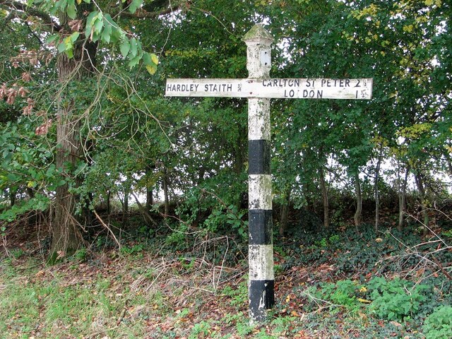
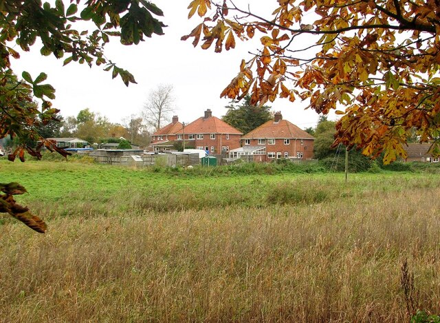
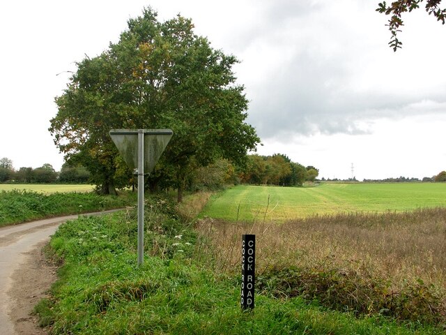
Loddon Common is a picturesque area located in the county of Norfolk, England. Covering an expanse of approximately 300 acres, it offers a diverse landscape comprising downs, moorland, and wetland areas. Situated near the market town of Loddon, the common is a popular destination for locals and tourists alike, offering a tranquil escape from the hustle and bustle of everyday life.

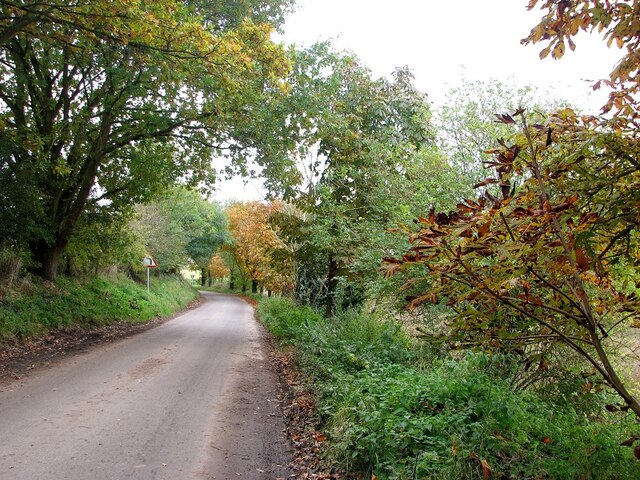
The common is characterized by its undulating terrain, with rolling hills and open spaces providing breathtaking views of the surrounding countryside. The downs, covered in lush grasses and wildflowers, are an ideal spot for leisurely walks and picnics, while the moorland areas are home to heather and gorse, creating a vibrant and colorful landscape. The wetland areas, including ponds and marshes, support a diverse array of wildlife, making them a haven for nature enthusiasts and birdwatchers.

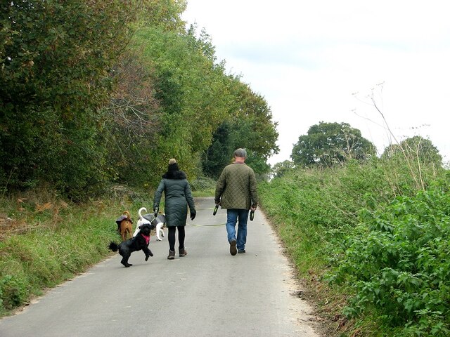
Visitors to Loddon Common can enjoy a range of activities, including hiking, horse riding, and cycling. There are well-maintained paths and trails throughout the common, allowing individuals to explore its beauty at their own pace. The area is also a designated Site of Special Scientific Interest (SSSI), highlighting its ecological importance and biodiversity.

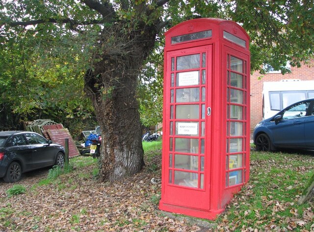
Loddon Common is easily accessible, with parking facilities available nearby. Additionally, it is conveniently located close to amenities such as cafes, pubs, and shops in the nearby town of Loddon.

Overall, Loddon Common offers a stunning natural landscape and a peaceful environment, attracting visitors who seek to immerse themselves in the beauty of Norfolk's countryside.

If you have any feedback on the listing, please let us know in the comments section below.

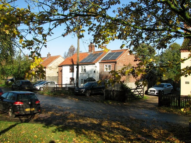
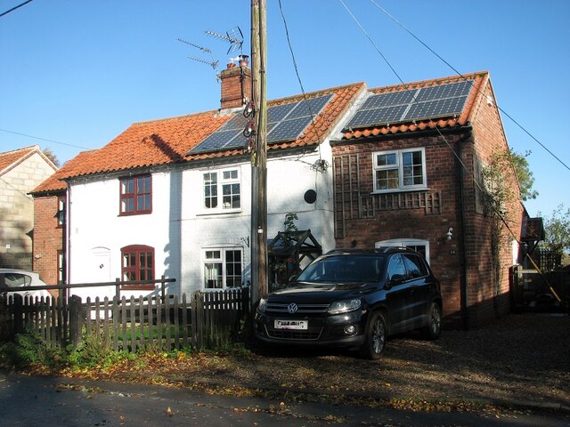
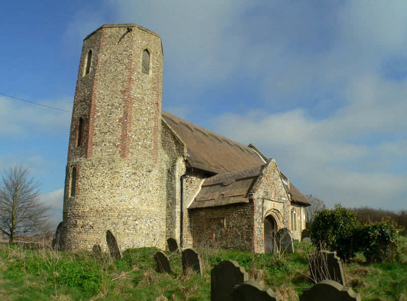
Loddon Common Images

Images are sourced within 2km of 52.538669/1.5067123 or Grid Reference TM3799. Thanks to Geograph Open Source API. All images are credited.

Old road sign by the junction The sign stands at the junction of Hardley Street, Hardley Road and Cross Stone Road
Old road sign by the junction
The sign stands at the junction of Hardley Street, Hardley Road and Cross Stone Road
Telephone kiosk converted to local book exchange
Cross Stone Road to Chedgrave
Houses in Hardley Road
View along Cock Road The road is named after a long closed pub   >  <a title="https://www.geograph.org.uk/photo/5892686" href="https://www.geograph.org.uk/photo/5892686">Link</a> which used to be located alongside it.
View along Cock Road
The road is named after a long closed pub > Link which used to be located alongside it.
Dog walkers on Cross Stone Road
Hardley Road, The Old Forge The building's name indicates that it once used to be the hamlet's forge.
Hardley Road, The Old Forge
The building's name indicates that it once used to be the hamlet's forge.
The Old Forge in Hardley Road Converted into two private dwellings.
The Old Forge in Hardley Road
Converted into two private dwellings.
Cottages in Hardley Road
35 Hardley Road
35 Hardley Road
Hardley Road past the Hardley with Langley Village Green
Houses alongside Hardley Road
Flooded field by Cross Stone Road Due to heavy rainfall two weeks ago the water had gushed out of this field, flodding the adjacent rural  road and making it impassable for some time.
Flooded field by Cross Stone Road
Due to heavy rainfall two weeks ago the water had gushed out of this field, flodding the adjacent rural road and making it impassable for some time.
Flooded field corner
Cross Stone Road The stone base of what some think to be the remains of a medieval cross can be seen below the oak tree at left.  The road leading past here was named after the cross.
Cross Stone Road
The stone base of what some think to be the remains of a medieval cross can be seen below the oak tree at left. The road leading past here was named after the cross.
Commemorative plaque By an oak at the junction of Cross Stone Road > <a title="https://www.geograph.org.uk/photo/7651698" href="https://www.geograph.org.uk/photo/7651698">Link</a>
Commemorative plaque
By an oak at the junction of Cross Stone Road > Link
Millennium oak The oak at centre was planted in 1999 by Hardley -with -Langley parish in commemoration of the millennium.  It is located by the junction of Cross Stone Road and Lower Hardley Road > <a title="https://www.geograph.org.uk/photo/7651696" href="https://www.geograph.org.uk/photo/7651696">Link</a>
Millennium oak
The oak at centre was planted in 1999 by Hardley -with -Langley parish in commemoration of the millennium. It is located by the junction of Cross Stone Road and Lower Hardley Road > Link
The remains of a medieval cross By the junction of Stone Cross Road and Lower Hardley Road.  Some say it is an old boundary marker, others say it may be the remains of a perhaps medieval cross.   According to legend an old woman wearing a red dress occasionally visits the site and sits on the stone.  I have as yet to see the lady.

  A record dating from 1934 describes the stone as "a square stone with beveled edges, approximately four feet appearing out of the ground".  It was probably first recorded by the local 19th century folklorist William Blythe Gerish, who wrote that on certain nights of the year, the apparition of an old woman in red appears at midnight, sitting on the stone. Some kind of story seems however to have been in circulation long before that time, as Bryant's 1826 map of Norfolk names this spot "Haunted Gap".
The remains of a medieval cross
By the junction of Stone Cross Road and Lower Hardley Road. Some say it is an old boundary marker, others say it may be the remains of a perhaps medieval cross. According to legend an old woman wearing a red dress occasionally visits the site and sits on the stone. I have as yet to see the lady. A record dating from 1934 describes the stone as "a square stone with beveled edges, approximately four feet appearing out of the ground". It was probably first recorded by the local 19th century folklorist William Blythe Gerish, who wrote that on certain nights of the year, the apparition of an old woman in red appears at midnight, sitting on the stone. Some kind of story seems however to have been in circulation long before that time, as Bryant's 1826 map of Norfolk names this spot "Haunted Gap".
Show me another place!

Loddon Common is located at Grid Ref: TM3799 (Lat: 52.538669, Lng: 1.5067123)

Administrative County: Norfolk

District: South Norfolk

Police Authority: Norfolk

What 3 Words

///finishers.smug.draw. Near Loddon, Norfolk

Related Wikis

Hardley Flood

Hardley Flood is a 49.8-hectare (123-acre) biological Site of Special Scientific Interest near Loddon, between Norwich, Lowestoft and Great Yarmouth in...

St Gregory's Church, Heckingham

St Gregory's Church is a redundant Anglican church in the village of Heckingham, Norfolk, England. It is recorded in the National Heritage List for England...

Heckingham

Heckingham is a small village and parish in the county of Norfolk, England, about a mile east of Loddon. It covers an area of 4.46 km2 (1.72 sq mi) and...

Chedgrave

Chedgrave is a village and civil parish in English county of Norfolk. Chedgrave is separated from nearby Loddon by the River Chet. == History == Chedgrave...

Have you been to Loddon Common?

Leave your review of Loddon Common below (or comments, questions and feedback).