Chedgrave Carr
Wood, Forest in Norfolk South Norfolk
England
Chedgrave Carr
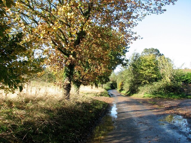
Chedgrave Carr is a small woodland area located in the county of Norfolk, England. Situated near the village of Chedgrave, it covers an area of approximately 20 acres and is classified as a carr, which is a type of wet woodland commonly found in low-lying areas.
The woodland is dominated by a variety of tree species, including oak, ash, willow, and birch. These trees provide a dense canopy, creating a shady and cool atmosphere within the woodland. The undergrowth is also rich in plant diversity, with ferns, bluebells, and wild garlic commonly found throughout the area.
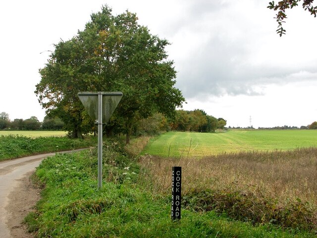
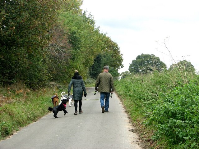
Chedgrave Carr is known for its wet and damp conditions, as it is situated on a floodplain near the River Chet. This creates a unique habitat for a variety of wildlife, including birds, insects, and small mammals. The woodland is particularly popular among birdwatchers, as it provides a haven for a range of bird species, such as woodpeckers, warblers, and kingfishers.
The site is also of historical importance, with evidence of human activity dating back to the Bronze Age. Archaeological discoveries, including pottery and flint tools, have been made within the woodland, suggesting that it was once inhabited by early settlers.
Chedgrave Carr is a designated Site of Special Scientific Interest (SSSI), recognizing its importance for both its ecological diversity and historical significance. It is managed and protected by local conservation organizations, ensuring the preservation of this unique woodland for future generations to enjoy.
If you have any feedback on the listing, please let us know in the comments section below.
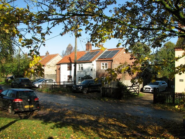
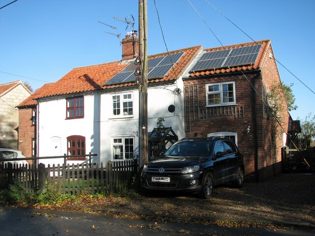
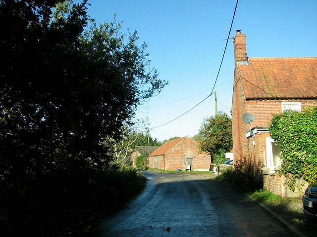
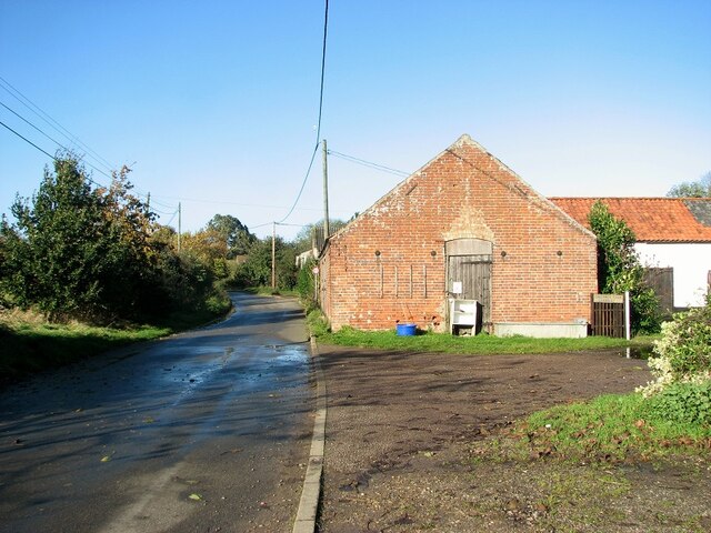
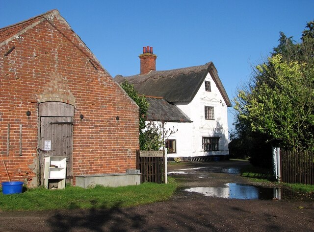
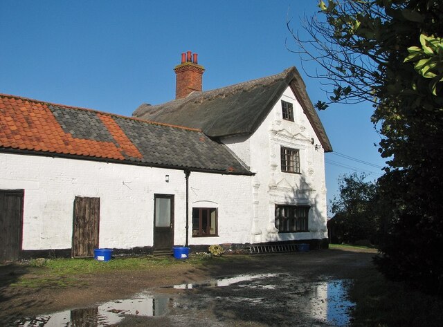
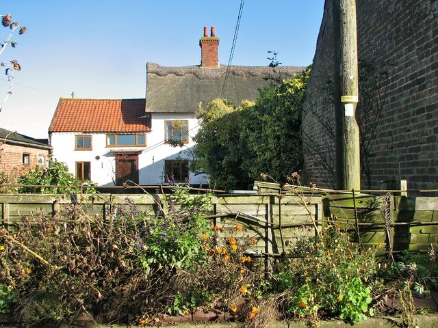
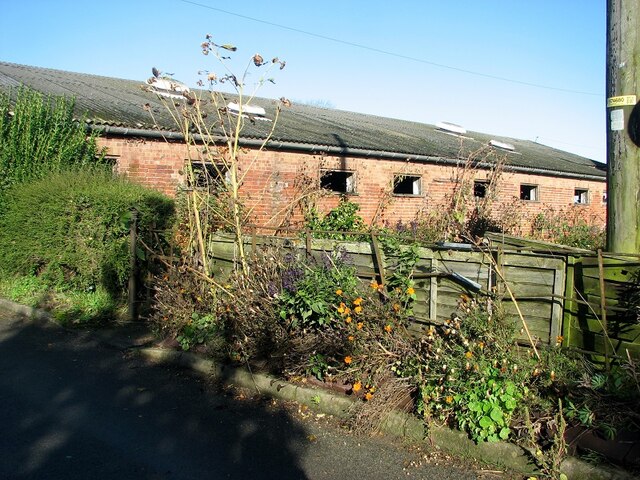
Chedgrave Carr Images
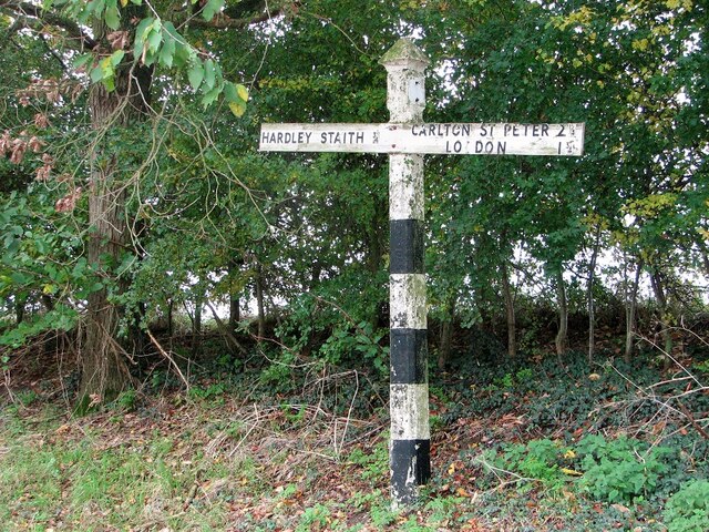
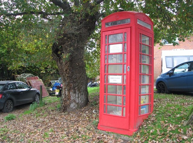
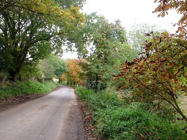
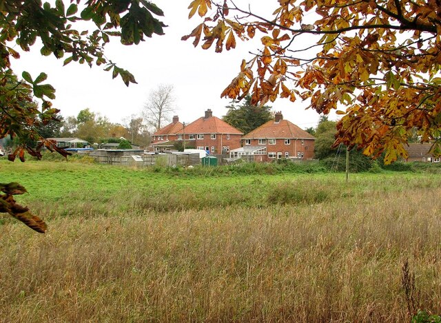
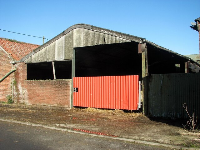
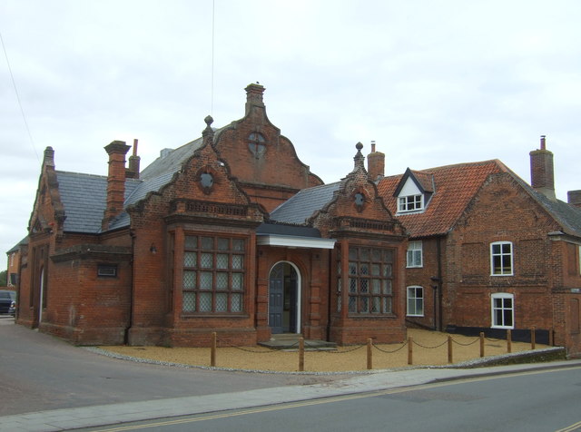
Images are sourced within 2km of 52.539356/1.4938304 or Grid Reference TM3799. Thanks to Geograph Open Source API. All images are credited.
Chedgrave Carr is located at Grid Ref: TM3799 (Lat: 52.539356, Lng: 1.4938304)
Administrative County: Norfolk
District: South Norfolk
Police Authority: Norfolk
What 3 Words
///fatter.spin.recitals. Near Loddon, Norfolk
Nearby Locations
Related Wikis

Chedgrave
Chedgrave is a village and civil parish in English county of Norfolk. Chedgrave is separated from nearby Loddon by the River Chet. == History == Chedgrave...
Old Town Hall, Loddon
The Old Town Hall is a former events venue in Bridge Street, Loddon, Norfolk, England. The structure, which is currently occupied for commercial use, is...

Hardley Flood
Hardley Flood is a 49.8-hectare (123-acre) biological Site of Special Scientific Interest near Loddon, between Norwich, Lowestoft and Great Yarmouth in...

Loddon, Norfolk
Loddon is a town and civil parish in Norfolk, England, about 12 miles (19 km) south-east of Norwich. The town lies on the River Chet, a tributary of the...
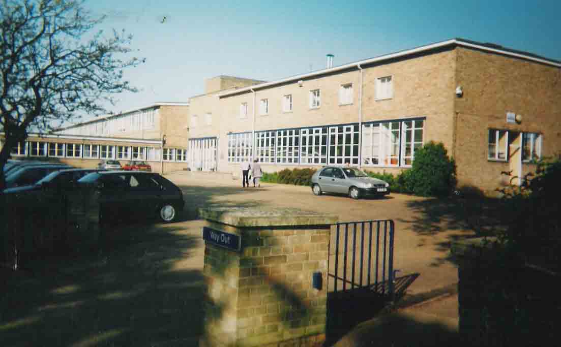
Hobart High School, Norfolk
Hobart High School is a coeducational secondary school with academy status, situated in the village of Loddon, near Norwich in Norfolk, England. It typically...
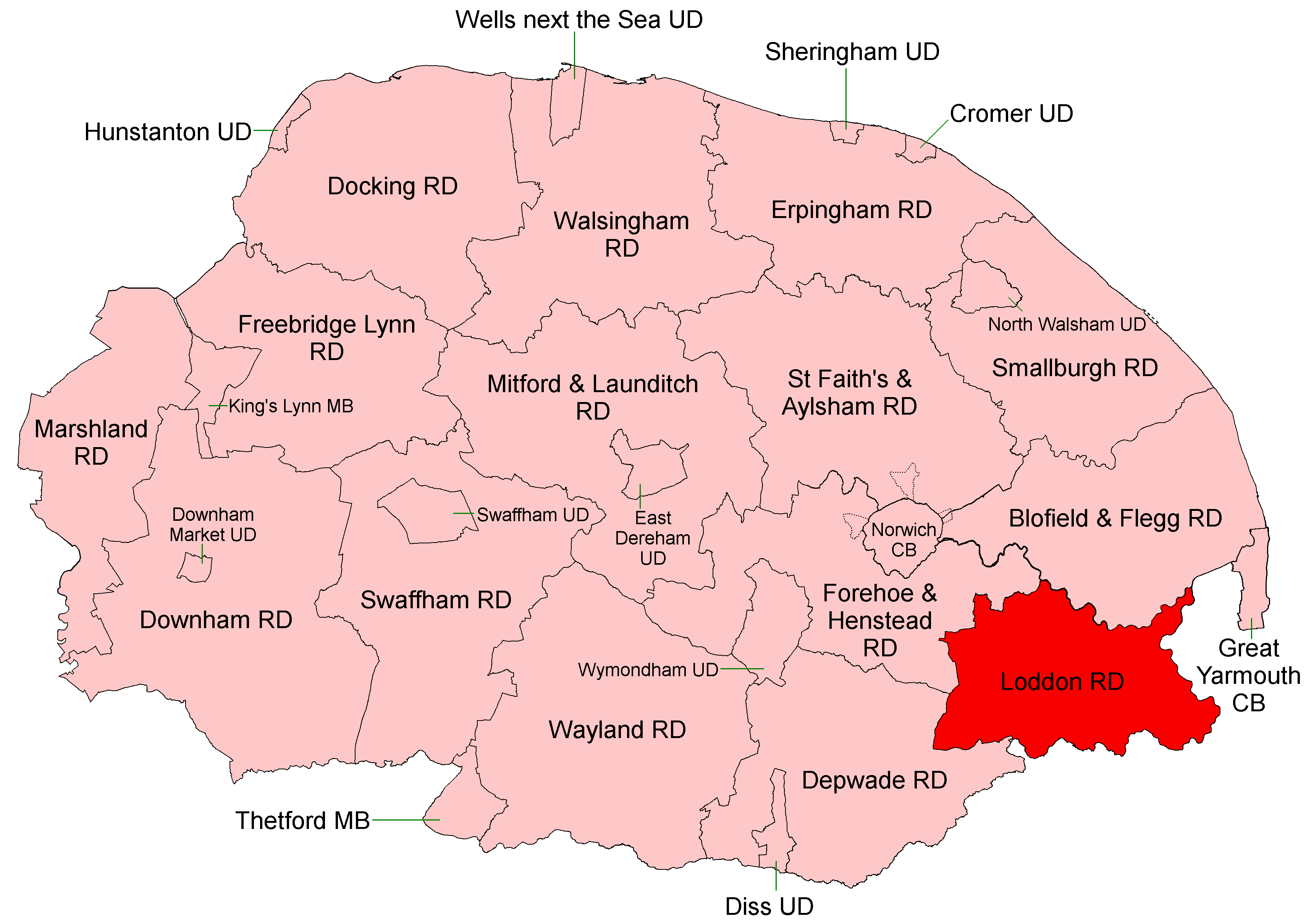
Loddon and Clavering Rural District
Loddon and Clavering Rural District was a rural district in Norfolk, England from 1894 to 1935., continuing, with very slight boundary changes, as Loddon...

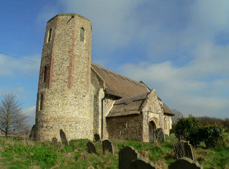
St Gregory's Church, Heckingham
St Gregory's Church is a redundant Anglican church in the village of Heckingham, Norfolk, England. It is recorded in the National Heritage List for England...
Heckingham
Heckingham is a small village and parish in the county of Norfolk, England, about a mile east of Loddon. It covers an area of 4.46 km2 (1.72 sq mi) and...
Nearby Amenities
Located within 500m of 52.539356,1.4938304Have you been to Chedgrave Carr?
Leave your review of Chedgrave Carr below (or comments, questions and feedback).