Chedgrave Common
Downs, Moorland in Norfolk South Norfolk
England
Chedgrave Common
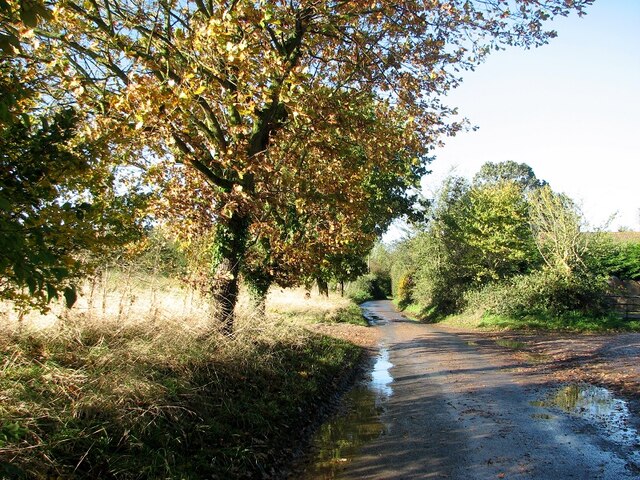
Chedgrave Common, situated in Norfolk, England, is a picturesque area featuring a diverse range of natural habitats such as downs and moorland. Covering an area of approximately 100 acres, the common is located near the charming village of Chedgrave, just south of the River Chet and adjacent to the renowned Norfolk Broads.
The common is characterized by its gently undulating landscape, scattered with patches of heathland and rich in biodiversity. The downs, which are formed by chalky rock, are home to a variety of unique flora and fauna. Visitors to the common can observe an array of wildflowers, including orchids, harebells, and cowslips, which bloom during the spring and summer months. The downs also provide a habitat for several species of butterflies and birds, adding to the area's natural beauty.
The moorland found within Chedgrave Common comprises wet and marshy areas, typically covered with sphagnum moss and grasses. This wet habitat supports a number of amphibians, including common frogs and newts, as well as various water-loving plants like water mint and bogbean.
Chedgrave Common is a cherished site for nature enthusiasts and walkers alike, offering breathtaking views of the surrounding countryside. Its tranquility and untouched beauty make it an ideal location for those seeking solace in nature. The common is also managed by local authorities to preserve its unique ecosystems and promote environmental education and awareness.
If you have any feedback on the listing, please let us know in the comments section below.
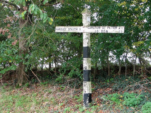
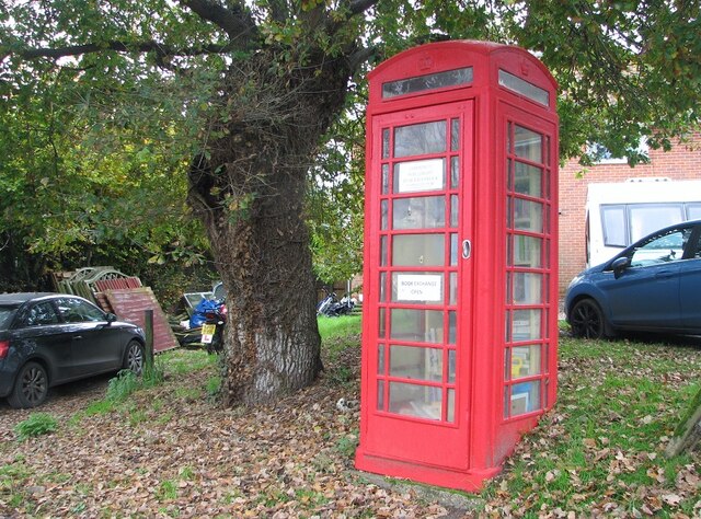
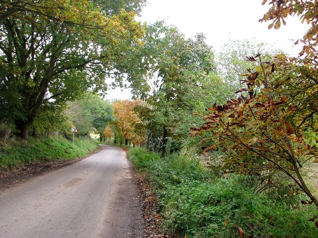
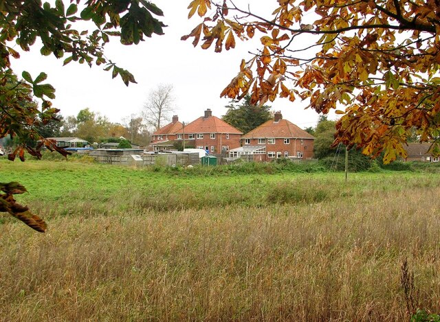
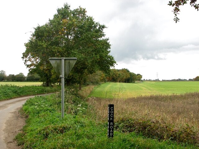
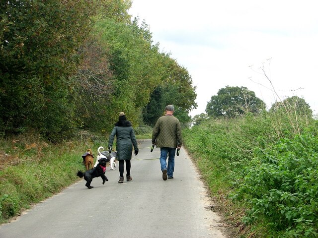
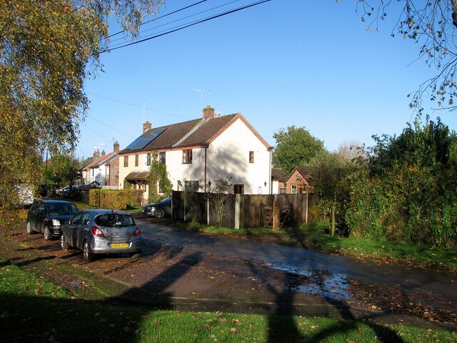
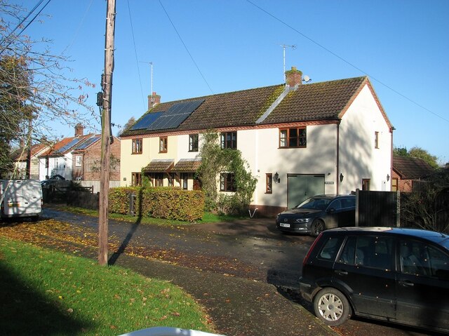
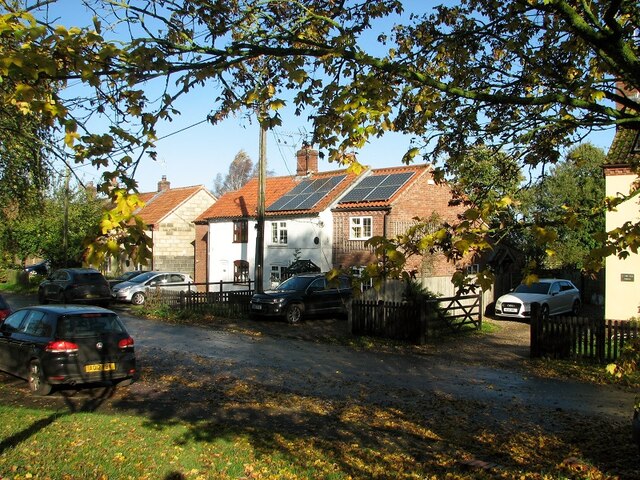
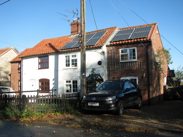
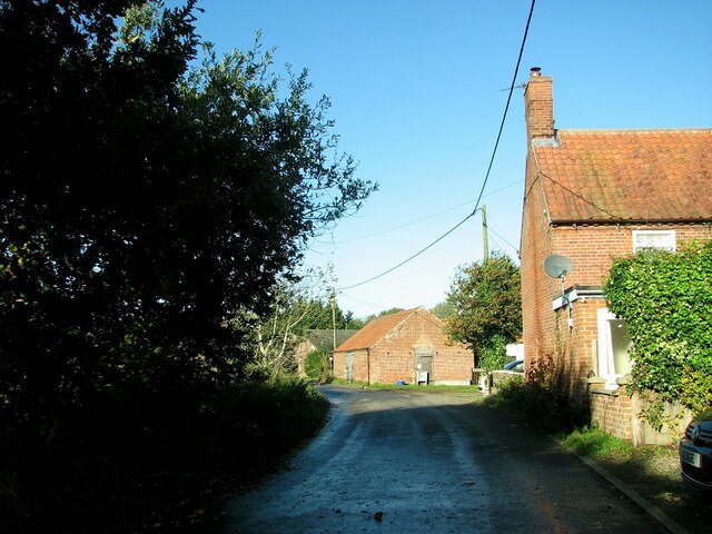
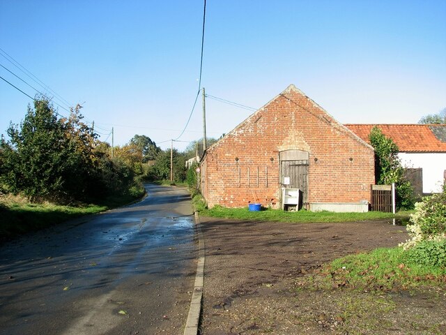
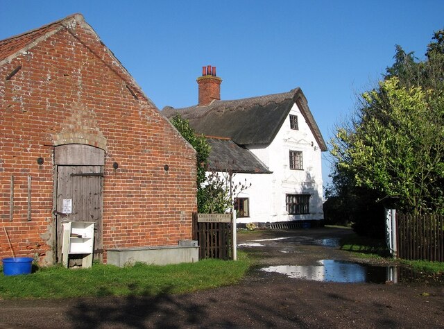
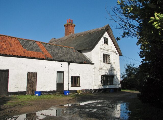
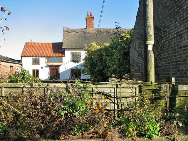
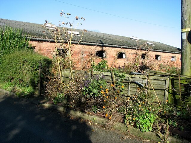
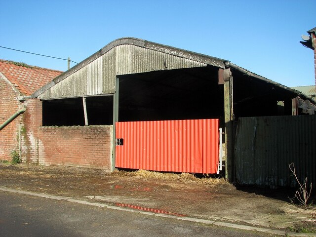
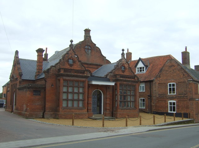
Chedgrave Common Images
Images are sourced within 2km of 52.53983/1.4957415 or Grid Reference TM3799. Thanks to Geograph Open Source API. All images are credited.
Chedgrave Common is located at Grid Ref: TM3799 (Lat: 52.53983, Lng: 1.4957415)
Administrative County: Norfolk
District: South Norfolk
Police Authority: Norfolk
What 3 Words
///song.populate.infuses. Near Loddon, Norfolk
Nearby Locations
Related Wikis

Chedgrave
Chedgrave is a village and civil parish in English county of Norfolk. Chedgrave is separated from nearby Loddon by the River Chet. == History == Chedgrave...

Hardley Flood
Hardley Flood is a 49.8-hectare (123-acre) biological Site of Special Scientific Interest near Loddon, between Norwich, Lowestoft and Great Yarmouth in...
Old Town Hall, Loddon
The Old Town Hall is a former events venue in Bridge Street, Loddon, Norfolk, England. The structure, which is currently occupied for commercial use, is...

Loddon, Norfolk
Loddon is a town and civil parish in Norfolk, England, about 12 miles (19 km) south-east of Norwich. The town lies on the River Chet, a tributary of the...

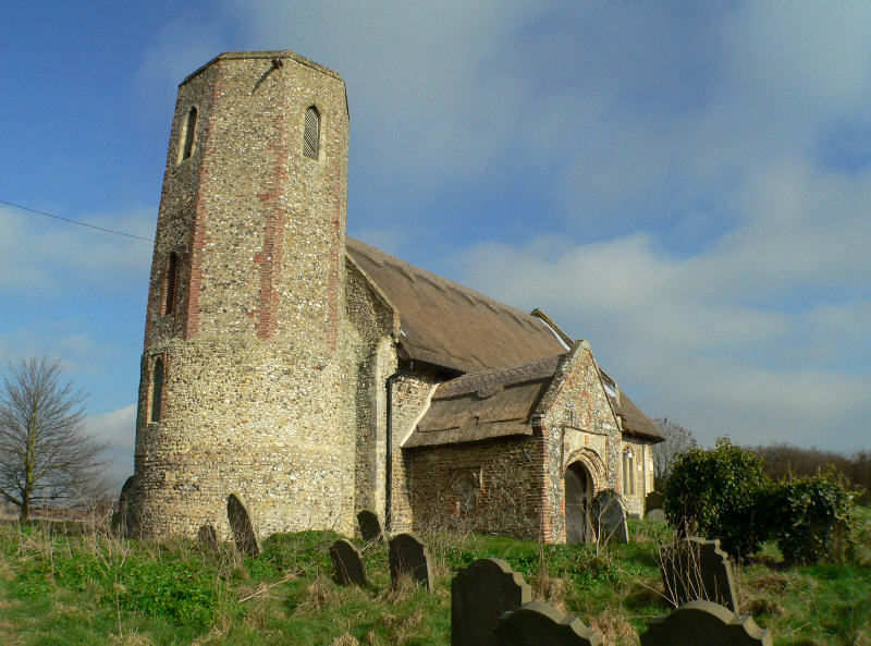
St Gregory's Church, Heckingham
St Gregory's Church is a redundant Anglican church in the village of Heckingham, Norfolk, England. It is recorded in the National Heritage List for England...
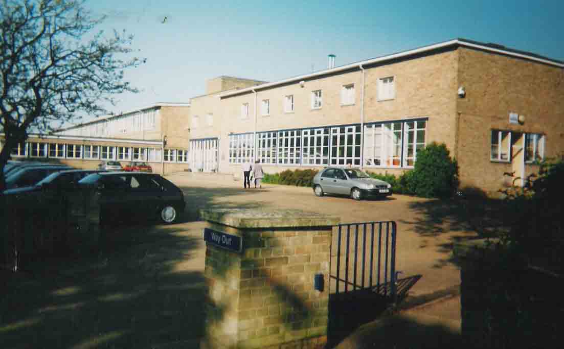
Hobart High School, Norfolk
Hobart High School is a coeducational secondary school with academy status, situated in the village of Loddon, near Norwich in Norfolk, England. It typically...
Heckingham
Heckingham is a small village and parish in the county of Norfolk, England, about a mile east of Loddon. It covers an area of 4.46 km2 (1.72 sq mi) and...
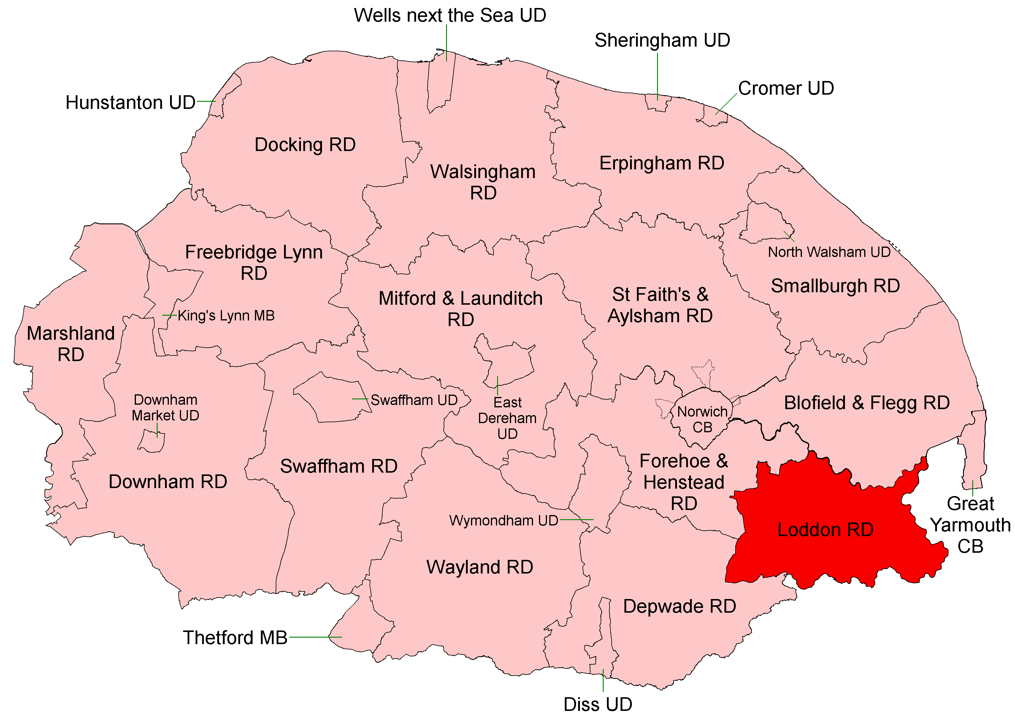
Loddon and Clavering Rural District
Loddon and Clavering Rural District was a rural district in Norfolk, England from 1894 to 1935., continuing, with very slight boundary changes, as Loddon...
Nearby Amenities
Located within 500m of 52.53983,1.4957415Have you been to Chedgrave Common?
Leave your review of Chedgrave Common below (or comments, questions and feedback).