Mill Common

Downs, Moorland in Norfolk North Norfolk

England

Mill Common

Sloley Lodge frontage, Sloley, Norfolk Taken with the kind permission of the owner.
Sloley Lodge frontage, Sloley, Norfolk Credit: Adrian S Pye

Mill Common is a picturesque area located in Norfolk, England. Situated in the heart of the county, it is known for its natural beauty and diverse ecosystem. The common covers a vast area, incorporating both downs and moorland landscapes.

The downs in Mill Common are characterized by rolling hills and open grasslands. These areas offer breathtaking views of the surrounding countryside and are often used for grazing livestock. The downs are home to a variety of plant species, including wildflowers such as harebells and lady's bedstraw, creating a vibrant and colorful landscape during the summer months.

On the other hand, the moorland in Mill Common is a more rugged and untamed environment. It consists of heather-covered hills, interspersed with pockets of wetland and small streams. The moorland is rich in biodiversity, providing a habitat for numerous bird species, including skylarks and curlews. The damp areas are also home to a variety of amphibians and insects, adding to the ecological diversity of the region.

Mill Common is a popular destination for nature enthusiasts and hikers, who can explore the various walking trails that crisscross the area. The common offers a peaceful escape from the hustle and bustle of nearby towns and cities, allowing visitors to immerse themselves in the tranquility of the natural surroundings. With its stunning vistas, diverse wildlife, and serene atmosphere, Mill Common is a hidden gem in the Norfolk countryside.

If you have any feedback on the listing, please let us know in the comments section below.
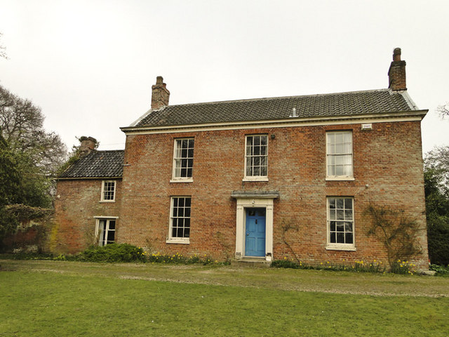
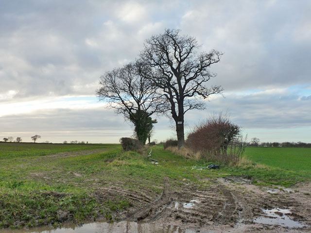
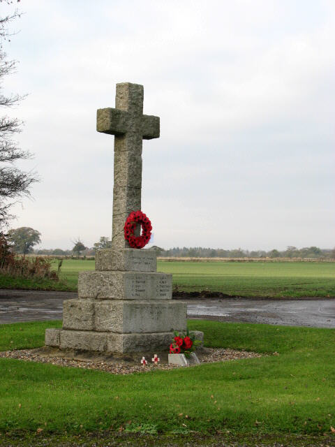
Mill Common Images

Images are sourced within 2km of 52.774909/1.3652665 or Grid Reference TG2725. Thanks to Geograph Open Source API. All images are credited.

Sloley Lodge frontage, Sloley, Norfolk Taken with the kind permission of the owner.
Sloley Lodge frontage, Sloley, Norfolk
Taken with the kind permission of the owner.
WW2 Pickett Hamilton Fort WW2 Pickett Hamilton Fort @ the former RAF Coltishall uncovered for Norfolk CC
WW2 Pickett Hamilton Fort
WW2 Pickett Hamilton Fort @ the former RAF Coltishall uncovered for Norfolk CC
Woodland near Grove Farm This might be the tip of a wood mapped as The Severals.
Woodland near Grove Farm
This might be the tip of a wood mapped as The Severals.
Farm track towards The Grange In case of doubt, a 'Private' sign is fixed to a tree.
Farm track towards The Grange
In case of doubt, a 'Private' sign is fixed to a tree.
Barn at The Laurels
Barn at The Laurels
Barns at The Laurels
Paper bank beside The Fairstead
Farmhouse in Scottow Seven years on, a tabby cat is sitting in the driveway.  See > <a title="https://www.geograph.org.uk/photo/615801" href="https://www.geograph.org.uk/photo/615801">Link</a> for comparison.
Farmhouse in Scottow
Seven years on, a tabby cat is sitting in the driveway. See > Link for comparison.
Scottow War memorial This war memorial, situated at the end of The Fairstead where three roads meet, is surrounded by its own green.
Scottow War memorial
This war memorial, situated at the end of The Fairstead where three roads meet, is surrounded by its own green.
Bus parked by Steward's Plantation The bus is parked beside The Fairstead, which has been a cul-de-sac ever since the 1940s when it was cut off by the RAF Coltishall's perimeter fence.
Bus parked by Steward's Plantation
The bus is parked beside The Fairstead, which has been a cul-de-sac ever since the 1940s when it was cut off by the RAF Coltishall's perimeter fence.
Wheat crop by Brook Farm
This way to the B1150 road
View towards Waterloo Plantation This view was taken from a hardstanding where heaps of gravel have been deposited for some future use.
View towards Waterloo Plantation
This view was taken from a hardstanding where heaps of gravel have been deposited for some future use.
Bluebells beside footpath at Swanton Hill A violet-coloured variety.
Bluebells beside footpath at Swanton Hill
A violet-coloured variety.
St Michael's church at Swanton Abbott
Bluebells by St Michael's church, Swanton Abbott
Show me another place!

Mill Common is located at Grid Ref: TG2725 (Lat: 52.774909, Lng: 1.3652665)

Administrative County: Norfolk

District: North Norfolk

Police Authority: Norfolk

What 3 Words

///pushover.habit.shadows. Near Buxton, Norfolk

Related Wikis

Swanton Abbott

Swanton Abbott is a village and civil parish in the district of North Norfolk. It has an area of 4.76 square kilometres (1.84 sq mi) and a population of...

Scottow

Scottow is a village and civil parish in the English county of Norfolk. It is located some 2.5 miles north of Coltishall and 5 miles south of North Walsham...

Westwick, Norfolk

Westwick is a village and civil parish in the English county of Norfolk, situated to the south of North Walsham. It covers an area of 4.88 km2 (1.88 sq...

Sloley

Sloley is a village and a civil parish in the English county of Norfolk. The village is 11.9 miles (19.2 km) north-north-east of Norwich, 13.6 miles (21...

HM Prison Bure

His Majesty's Prison Bure, more commonly known as HM Prison Bure, and often abbreviated to HMP Bure, is a Category C men's prison, located in the parish...

Westwick Lakes

Westwick Lakes is a 9.8-hectare (24-acre) biological Site of Special Scientific Interest south of North Walsham in Norfolk.Many wildfowl over-winter on...

Swift Aircraft

Swift Aircraft Limited is a British aerospace manufacturer that designs the Swift II aerobatic training aircraft. == Swift II == The Swift II is a side...
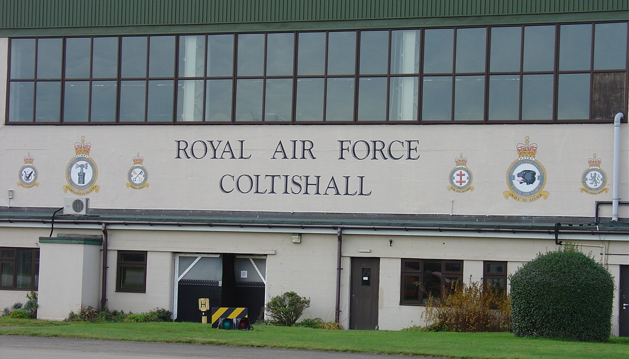
RAF Coltishall

Royal Air Force Coltishall, more commonly known as RAF Coltishall (IATA: CLF, ICAO: EGYC), is a former Royal Air Force station located 10 miles (16 kilometres...

Nearby Amenities

Located within 500m of 52.774909,1.3652665
Swanton Abbot Road, opp
Naptan AtcoCode: 2900S097
Naptan Bearing: NW
Naptan BusStopType: CUS
Naptan CommonName: Swanton Abbot Road
Naptan Indicator: opp
Naptan Landmark: Grove Farm Entrance
Naptan Locality: Scottow
Naptan NaptanCode: nfodtdjd
Naptan ShortCommonName: Swanton Abbot Road
Naptan Street: Swanton Abbot Road
Naptan Verified: no
Source: naptan_import
Lat/Long: 52.7714361/1.3682695
Swanton Abbot Road, adj
Naptan AtcoCode: 2900S099
Naptan Bearing: SE
Naptan BusStopType: CUS
Naptan CommonName: Swanton Abbot Road
Naptan Indicator: adj
Naptan Landmark: Grove Farm Entrance
Naptan Locality: Scottow
Naptan NaptanCode: nfodtdjg
Naptan ShortCommonName: Swanton Abbot Road
Naptan Street: Swanton Abbot Road
Naptan Verified: no
Source: naptan_import
Lat/Long: 52.7713414/1.3684402
Jolly Farmers, adj
Naptan AtcoCode: 2900S651
Naptan Bearing: N
Naptan BusStopType: CUS
Naptan CommonName: Jolly Farmers
Naptan Indicator: adj
Naptan Landmark: public house
Naptan Locality: Swanton Abbott
Naptan NaptanCode: nfodwdwd
Naptan Street: Swanton Abbot Road
Naptan Verified: no
Source: naptan_import
Lat/Long: 52.7774998/1.3593349
Bench
Lat/Long: 52.775617/1.35893
Give Way
Lat/Long: 52.7775648/1.3592886
The data included in this document is from www.openstreetmap.org. The data is made available under ODbL.

Have you been to Mill Common?

Leave your review of Mill Common below (or comments, questions and feedback).