Waterloo Plantation
Wood, Forest in Norfolk North Norfolk
England
Waterloo Plantation
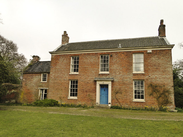
Waterloo Plantation, located in Norfolk, is a remarkable woodland area known for its natural beauty and diverse ecosystem. Spanning over a vast expanse, this plantation is a haven for nature enthusiasts and conservationists alike. The plantation is primarily composed of woodlands and forests, providing a serene and peaceful environment for visitors.
The vegetation in Waterloo Plantation is characterized by a variety of tree species, including oak, beech, and pine. These towering trees create a dense canopy that filters sunlight, creating a cool and shaded atmosphere. Underneath this canopy, a rich understory of shrubs and ferns can be found, adding to the overall biodiversity of the area.
The plantation is home to a wide range of wildlife species, including mammals, birds, and reptiles. Visitors may catch a glimpse of deer, foxes, or even the elusive red squirrel as they explore the trails that wind through the plantation. Birdwatchers will be delighted by the diverse avian population, with species such as woodpeckers, owls, and blue jays being commonly spotted. Additionally, the plantation is known to harbor reptiles like snakes and lizards, adding to the ecological significance of the area.
Waterloo Plantation offers numerous recreational activities for visitors to enjoy. Hiking trails provide an opportunity to explore the vast woodland, while picnic areas provide a perfect spot for outdoor gatherings. The plantation also hosts educational programs and guided tours, allowing visitors to learn about the unique flora and fauna that call this place home.
Overall, Waterloo Plantation is a natural gem in Norfolk that offers a tranquil escape from the hustle and bustle of city life. Its diverse ecosystem, scenic beauty, and recreational opportunities make it a must-visit destination for nature enthusiasts.
If you have any feedback on the listing, please let us know in the comments section below.
Waterloo Plantation Images
Images are sourced within 2km of 52.782283/1.3760261 or Grid Reference TG2725. Thanks to Geograph Open Source API. All images are credited.


Waterloo Plantation is located at Grid Ref: TG2725 (Lat: 52.782283, Lng: 1.3760261)
Administrative County: Norfolk
District: North Norfolk
Police Authority: Norfolk
What 3 Words
///grunt.rests.tells. Near North Walsham, Norfolk
Nearby Locations
Related Wikis

Westwick, Norfolk
Westwick is a village and civil parish in the English county of Norfolk, situated to the south of North Walsham. It covers an area of 4.88 km2 (1.88 sq...

Westwick Lakes
Westwick Lakes is a 9.8-hectare (24-acre) biological Site of Special Scientific Interest south of North Walsham in Norfolk.Many wildfowl over-winter on...
Swanton Abbott
Swanton Abbott is a village and civil parish in the district of North Norfolk. It has an area of 4.76 square kilometres (1.84 sq mi) and a population of...
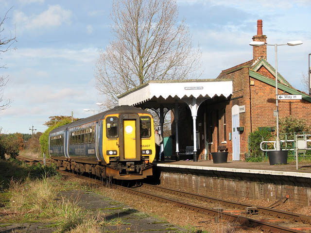
Worstead railway station
Worstead railway station is on the Bittern Line in Norfolk, England, serving the villages of Worstead and Sloley. It is 13 miles 12 chains (21.2 km) down...

Sloley
Sloley is a village and a civil parish in the English county of Norfolk. The village is 11.9 miles (19.2 km) north-north-east of Norwich, 13.6 miles (21...
Scottow
Scottow is a village and civil parish in the English county of Norfolk. It is located some 2.5 miles north of Coltishall and 5 miles south of North Walsham...

Battle of North Walsham
The Battle of North Walsham was a medieval battle fought on 25 or 26 June 1381, near the town of North Walsham in the English county of Norfolk, in which...

Worstead
Worstead is a village and civil parish in the English county of Norfolk. It lies 3 miles (5 km) south of North Walsham, 5 miles (8 km) north of Wroxham...
Nearby Amenities
Located within 500m of 52.782283,1.3760261Have you been to Waterloo Plantation?
Leave your review of Waterloo Plantation below (or comments, questions and feedback).