Easton Green
Downs, Moorland in Suffolk East Suffolk
England
Easton Green
Easton Green is a small village located in the county of Suffolk, England. Situated on the edge of the Suffolk Downs and Moorland, it is known for its picturesque natural beauty and tranquil atmosphere.
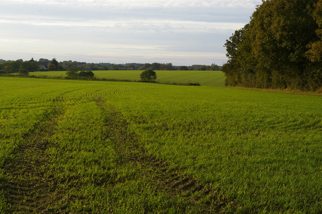
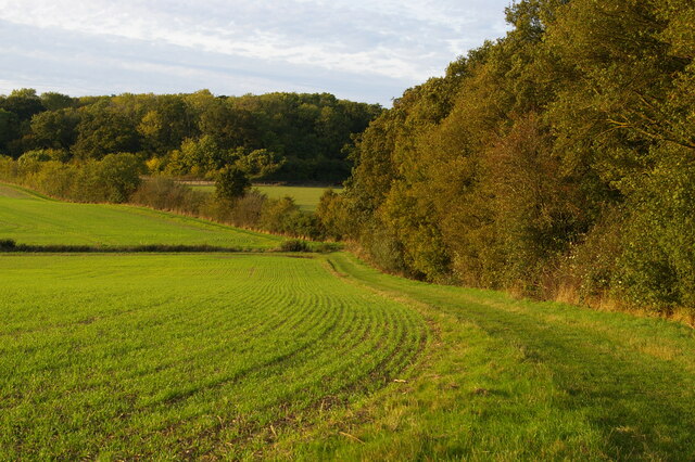
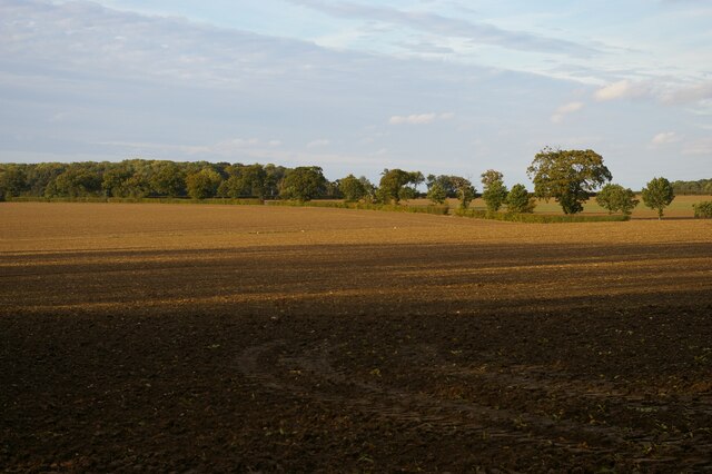
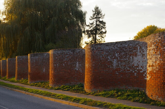
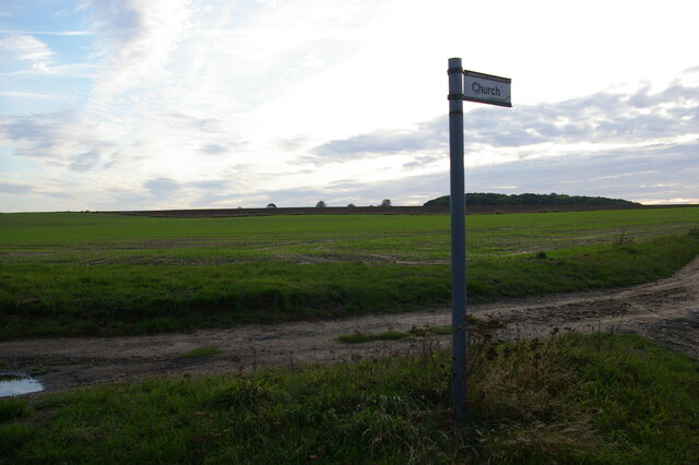
Covering an area of approximately 5 square miles, Easton Green is surrounded by rolling hills and vast stretches of open moorland. The landscape is characterized by lush green fields, scattered woodland areas, and meandering streams. The village itself is nestled in a valley, offering stunning views of the surrounding countryside.
The population of Easton Green is relatively small, with around 500 residents. The community is tight-knit and friendly, and the village has a strong sense of community spirit. The majority of the village's inhabitants are involved in agriculture, with farming being the primary occupation.
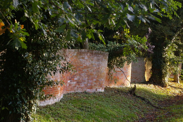
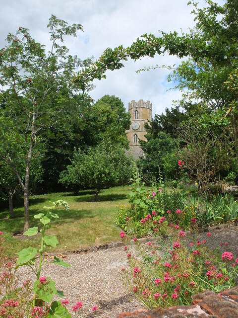
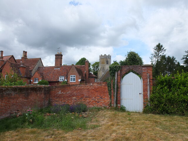
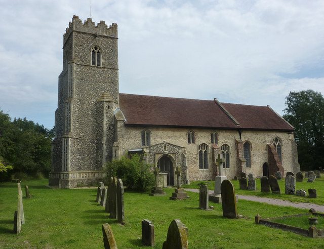
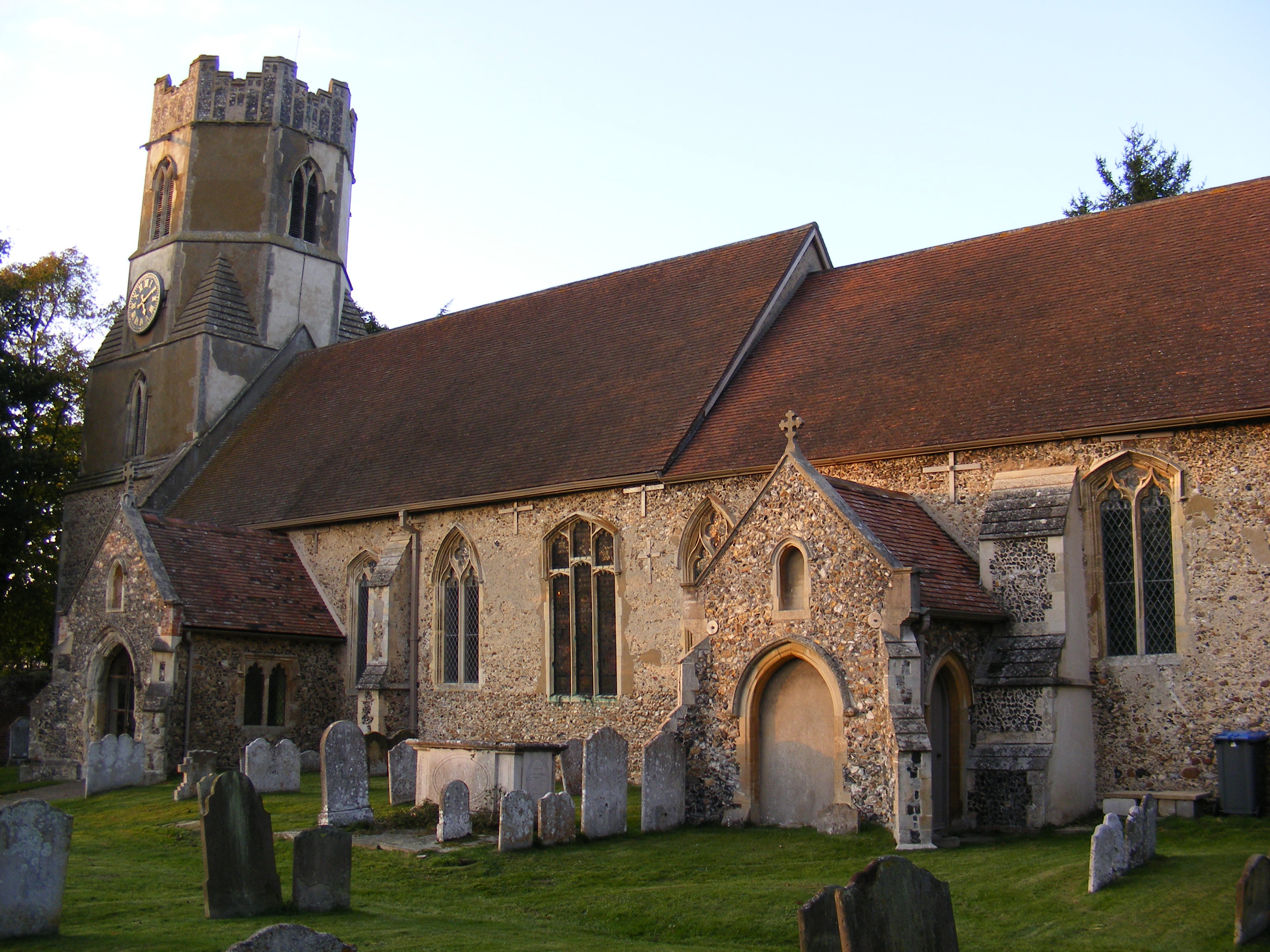
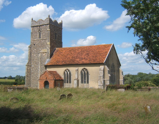
The village has a few amenities to cater to its residents' needs. There is a small primary school, a local pub, and a village hall that serves as a hub for social gatherings and community events. Easton Green also has a quaint parish church, which dates back several centuries and is a popular spot for visitors interested in the village's history.
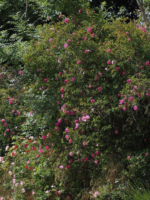
For outdoor enthusiasts, Easton Green offers plenty of opportunities for walking, hiking, and exploring the surrounding countryside. The Suffolk Downs and Moorland provide a diverse range of habitats, making it a haven for wildlife and an ideal destination for nature lovers.
Overall, Easton Green is a charming and idyllic village that offers a peaceful retreat from the hustle and bustle of city life. Its natural beauty, close-knit community, and rural charm make it a desirable place to live or visit.
If you have any feedback on the listing, please let us know in the comments section below.
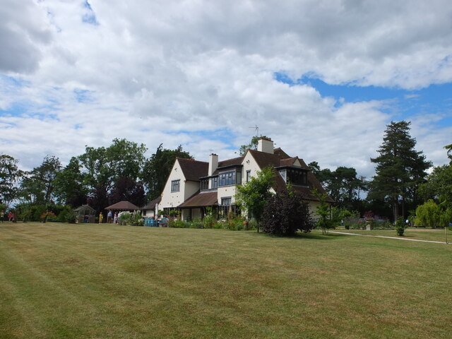
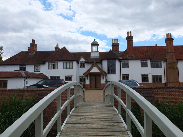
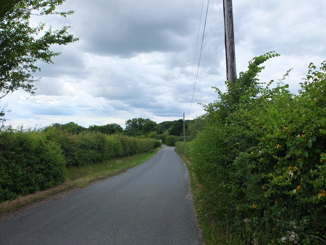
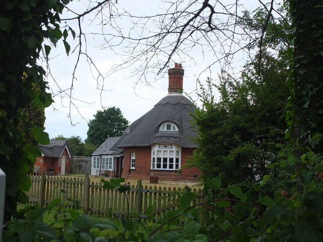
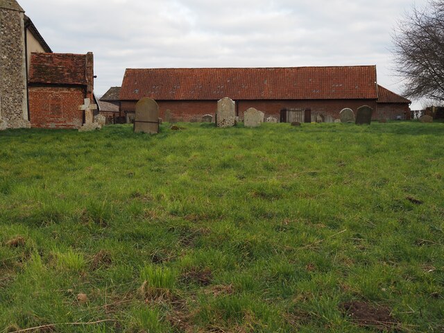
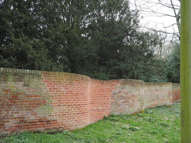
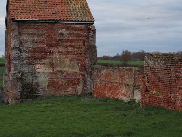
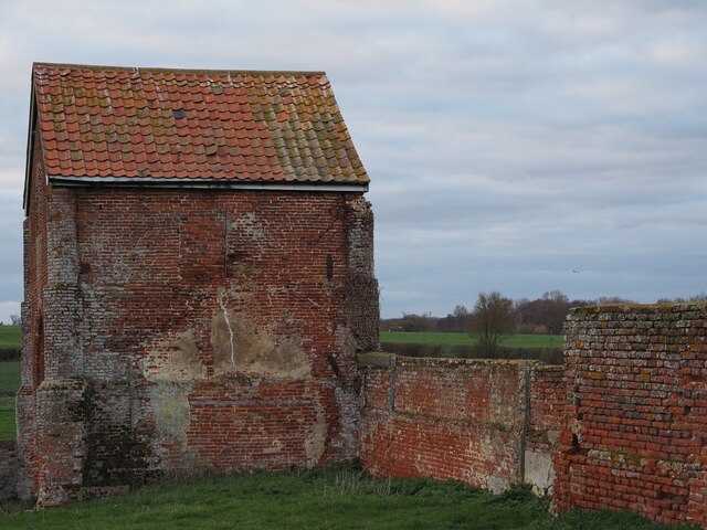
Easton Green Images
Images are sourced within 2km of 52.194652/1.324156 or Grid Reference TM2760. Thanks to Geograph Open Source API. All images are credited.

Easton Green is located at Grid Ref: TM2760 (Lat: 52.194652, Lng: 1.324156)
Administrative County: Suffolk
District: East Suffolk
Police Authority: Suffolk
What 3 Words
///skylights.tight.scar. Near Framlingham, Suffolk
Nearby Locations
Related Wikis
Kettleburgh
Kettleburgh is a small village and civil parish in the East Suffolk district, in the county of Suffolk. The population of this Civil Parish at the 2011...
Easton, Suffolk
Easton in England is situated on the River Deben around three miles south of Framlingham and is the former estate village of Easton Park, one-time seat...

Hoo, Suffolk
Hoo is a village and civil parish in the East Suffolk district of the English county of Suffolk. It is located 3 miles (4.8 km) north-west of the town...

Brandeston
Brandeston is a village in Suffolk, England on the River Deben 11 miles (18 km) northeast of Ipswich. Brandeston is west of Kettleburgh and northwest of...
All Saints' Church, Brandeston
The Church of All Saints is a Church of England parish church in Brandeston, Suffolk, England. The church dates from the Middle Age and is a Grade I listed...
Letheringham
Letheringham is a sparsely populated civil parish in the East Suffolk district (formerly Deben Rural District and then Suffolk Coastal) in Suffolk, England...

Brandeston Hall
Brandeston Hall is a grade II* listed house in Old Maids Lane, Brandeston, Suffolk, England.The Hall is the former manor house of Brandeston but is now...
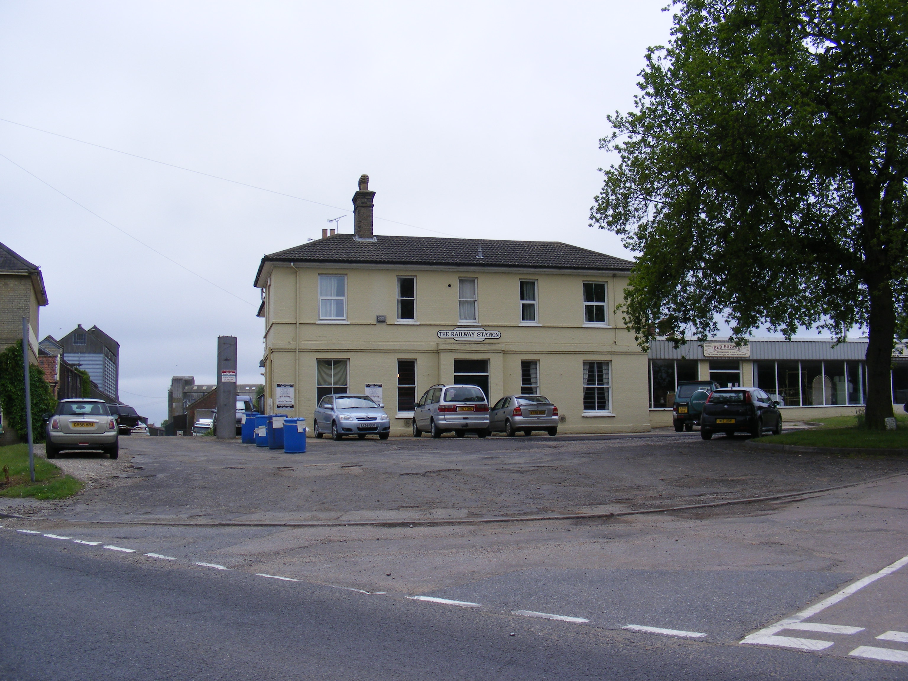
Framlingham railway station
Framlingham railway station was located in Framlingham, Suffolk, UK and was the terminus station on the Framlingham Branch. It opened on 1 June 1859 and...
Have you been to Easton Green?
Leave your review of Easton Green below (or comments, questions and feedback).