Chartham Downs
Downs, Moorland in Kent Canterbury
England
Chartham Downs
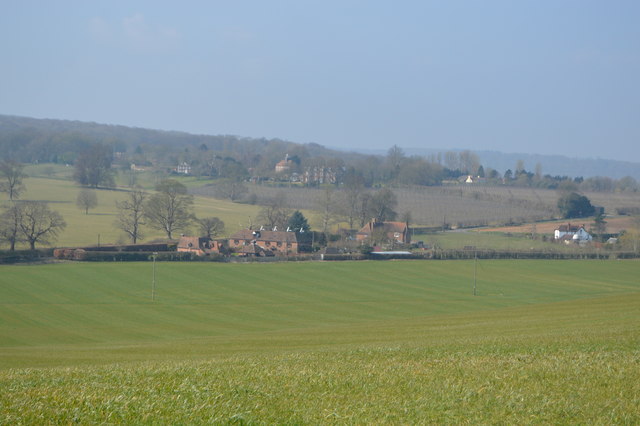
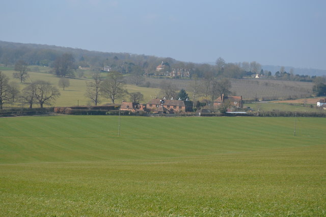
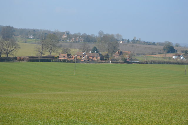
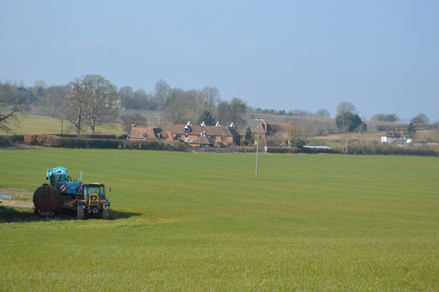
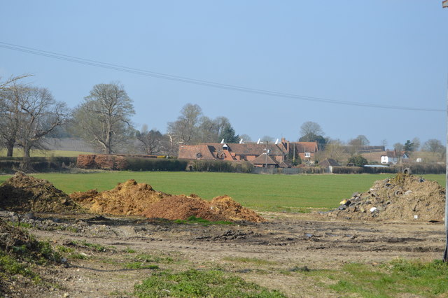
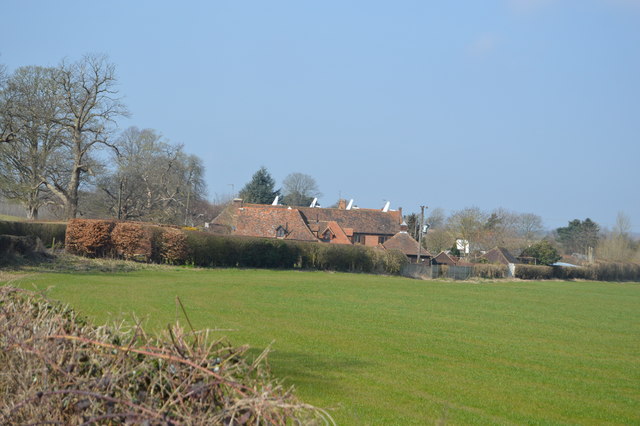
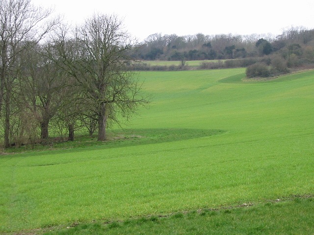
Chartham Downs, located in the county of Kent, England, is a scenic area known for its natural beauty and diverse landscapes. Spanning approximately 1,000 hectares, these downs are characterized by rolling hills, open grasslands, and picturesque woodlands.
One of the key features of Chartham Downs is its wide range of wildlife, making it a popular destination for nature enthusiasts. The area is home to a variety of bird species, including skylarks, yellowhammers, and kestrels. Visitors may also spot rabbits, foxes, and deer roaming freely across the downs. The woodlands provide a habitat for numerous species of butterflies and other insects.
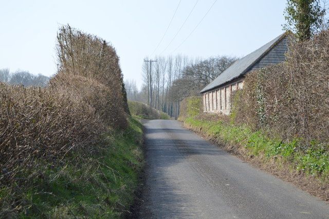
The downs offer stunning panoramic views, particularly from the higher elevations, allowing visitors to appreciate the surrounding countryside. The landscape is dotted with hedgerows, stone walls, and small copses, adding to its charm and providing shelter for local wildlife.
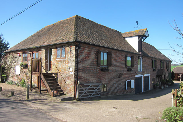
Chartham Downs also holds historical significance. Archaeological evidence suggests that the area has been inhabited since the Bronze Age, and remnants of Iron Age earthworks can still be seen today. The downs were once used for grazing livestock, and traditional farming practices are still observed in certain areas.
The downs are easily accessible, with footpaths and bridleways crisscrossing the area, inviting walkers, cyclists, and horse riders to explore the beautiful surroundings. Whether it's a leisurely stroll, a challenging hike, or a peaceful picnic, Chartham Downs offers a tranquil escape from the bustling city life and a chance to connect with nature.
If you have any feedback on the listing, please let us know in the comments section below.
Chartham Downs Images
Images are sourced within 2km of 51.241194/1.0339241 or Grid Reference TR1153. Thanks to Geograph Open Source API. All images are credited.


Chartham Downs is located at Grid Ref: TR1153 (Lat: 51.241194, Lng: 1.0339241)
Administrative County: Kent
District: Canterbury
Police Authority: Kent
What 3 Words
///paths.mallets.maps. Near Chartham, Kent
Nearby Locations
Related Wikis

St Augustine's Hospital, Chartham
St Augustine's Hospital was a psychiatric hospital in Chartham, Kent, England. It was founded as the second, or East, Kent County Asylum in 1872. In 1948...

Larkey Valley Wood
Larkey Valley Wood is a 44.1-hectare (109-acre) biological Site of Special Scientific Interest south of Canterbury in Kent. It is also a Local Nature Reserve...

Church of St Mary, Chartham
St Mary's Church is in the village of Chartham, Kent, England. It is an active Anglican parish church in the Diocese of Canterbury. Constructed between...

Chartham railway station
Chartham railway station is in Chartham, Kent, on the Ashford to Ramsgate line. The station, and all trains serving it, is operated by Southeastern....
Nearby Amenities
Located within 500m of 51.241194,1.0339241Have you been to Chartham Downs?
Leave your review of Chartham Downs below (or comments, questions and feedback).