Perry Hill Shaw

Wood, Forest in Kent Canterbury

England

Perry Hill Shaw

Thruxted Oast
Thruxted Oast Credit: N Chadwick

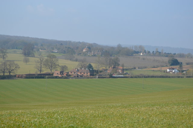
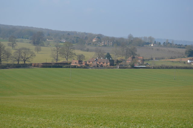
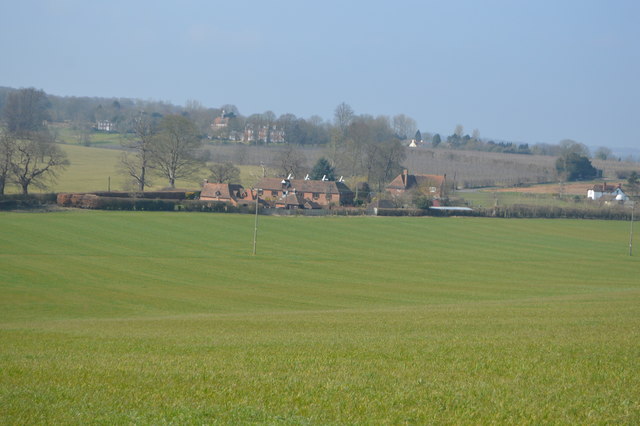
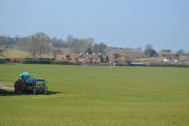
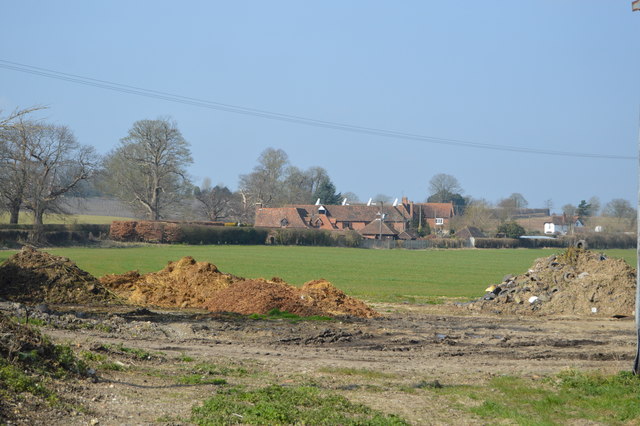
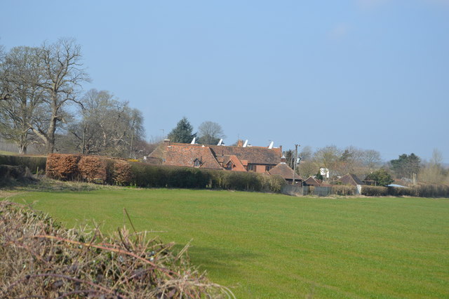
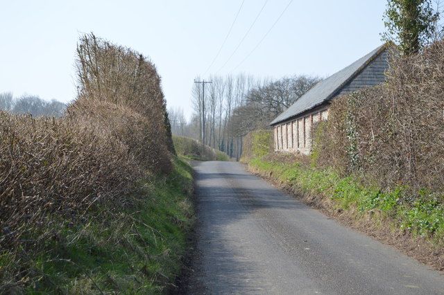
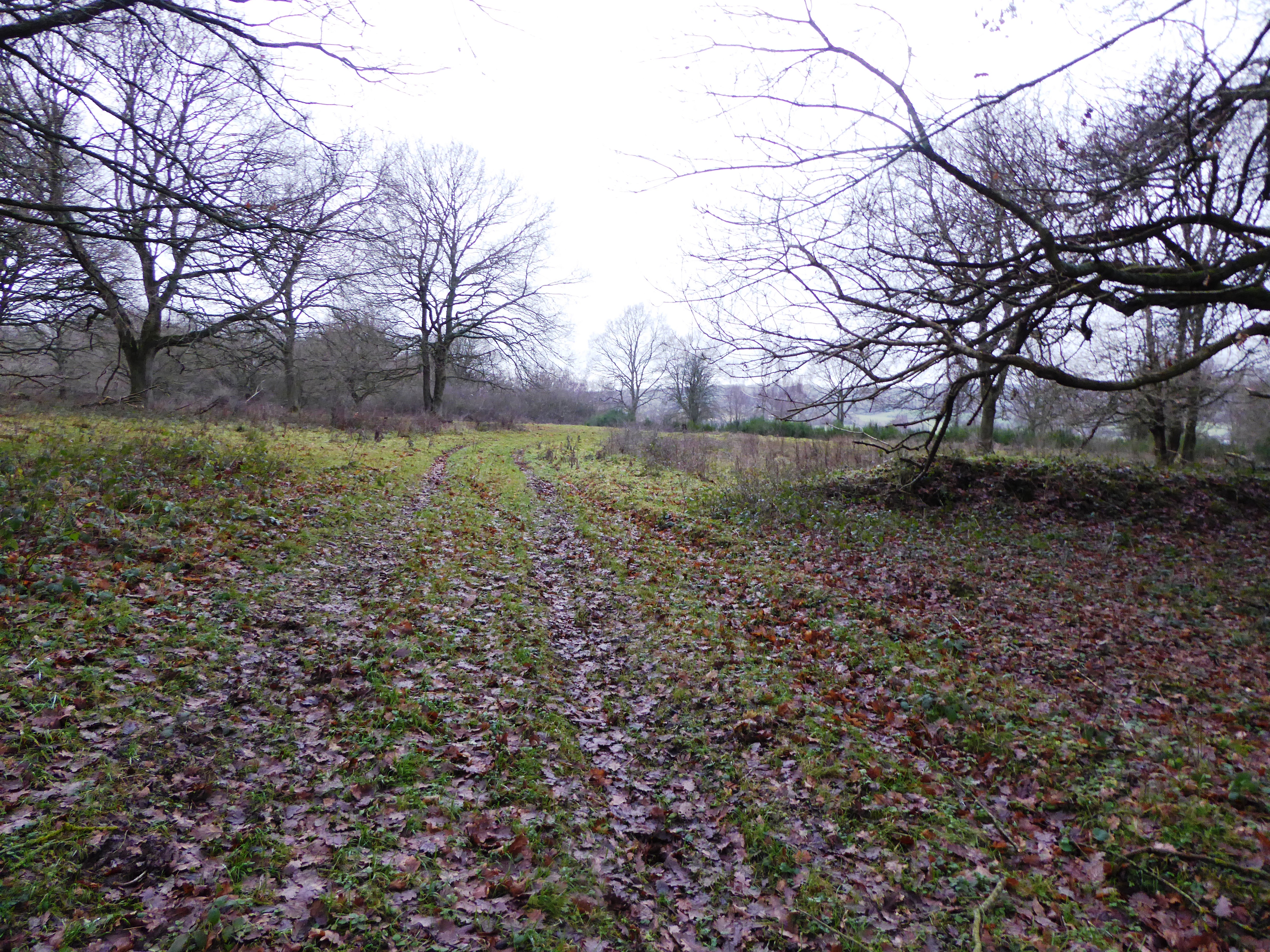
Perry Hill Shaw is a woodland area located in the county of Kent, England. Situated near the village of Wood, Forest, it covers an area of approximately 100 acres. The shaw is part of the larger Perry Hill Estate, which encompasses a mix of farmland, woodland, and residential properties.

The woodland itself is predominantly made up of native tree species such as oak, beech, and birch, creating a diverse and picturesque landscape. The dense canopy provides a habitat for various wildlife species, including birds, squirrels, and deer, making it a popular spot for nature enthusiasts and birdwatchers.

Perry Hill Shaw offers a range of recreational activities for visitors to enjoy. There are several walking trails that wind through the woods, allowing visitors to explore and appreciate the natural beauty of the area. The shaw also offers opportunities for picnicking and wildlife spotting, with designated areas and viewpoints scattered throughout.

The woodland is well-maintained by the Perry Hill Estate, ensuring that it remains a safe and enjoyable environment for visitors. There are information boards located at key points, providing educational insights into the local flora and fauna, as well as the history of the area.

Perry Hill Shaw, Kent (Wood, Forest) is a tranquil and scenic woodland area that offers a peaceful retreat from the hustle and bustle of everyday life. Whether it be for a leisurely stroll, a family picnic, or a nature walk, this woodland is a hidden gem waiting to be explored.

If you have any feedback on the listing, please let us know in the comments section below.

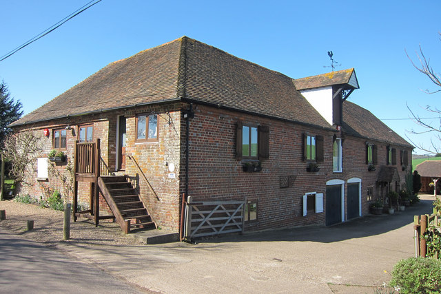
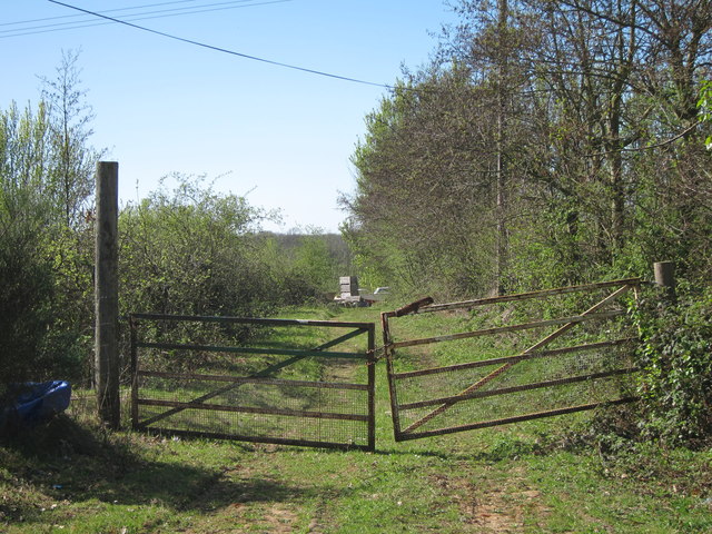
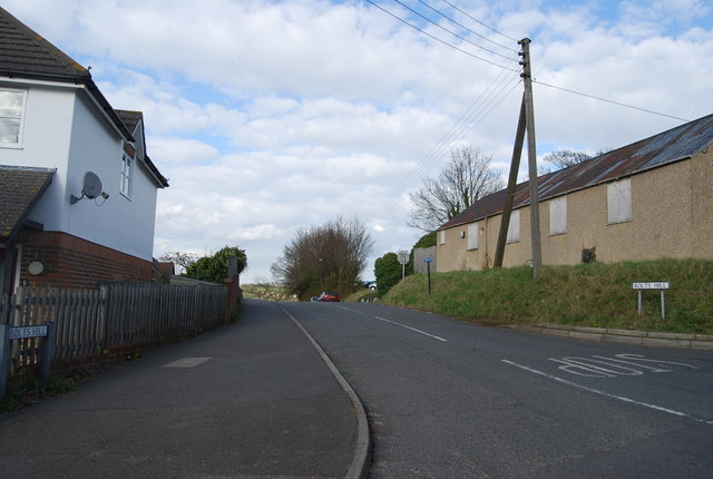
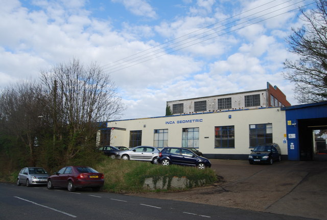
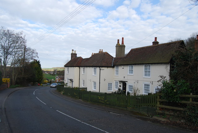
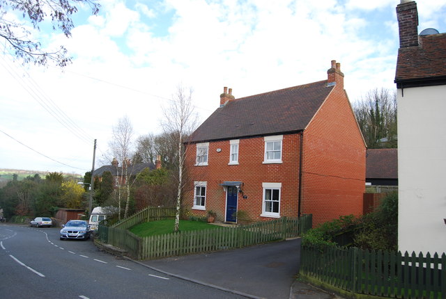
Perry Hill Shaw Images

Images are sourced within 2km of 51.242936/1.0294962 or Grid Reference TR1153. Thanks to Geograph Open Source API. All images are credited.

Thruxted Oast
Thruxted Oast
Thruxted Oast
Thruxted Oast
Thruxted Oast
Thruxted Oast
Thruxted Oast
Thruxted Oast
Thruxted Oast
Thruxted Oast
Thruxted Oast
Thruxted Oast
Penny Pot Lane
Penny Pot Lane
New houses on Shalmsford Street These were completed around late 2014
New houses on Shalmsford Street
These were completed around late 2014
Underdown House On Thruxsted Lane, looking from junction with Mystole Road.
Underdown House
On Thruxsted Lane, looking from junction with Mystole Road.
Thruxted Oast, Mystole Lane, Chartham, Kent
Track to Upper Mystole Park Farm Not the main entrance track, though is much shorter to the road.
Track to Upper Mystole Park Farm
Not the main entrance track, though is much shorter to the road.
Salvation Army Hall, Shalmsford Street The Salvation Army is a Christian charitable organisation organised in a quasi-military structure. The organisation reports worldwide membership of over 1.5 million, consisting of soldiers, officers and adherents known as Salvationists. Its founders William and Catherine Booth sought to bring salvation to the poor, destitute and hungry by meeting both their "physical and spiritual needs".
The Army was founded in 1865 in London by one-time Methodist minister William Booth.
Salvation Army Hall, Shalmsford Street
The Salvation Army is a Christian charitable organisation organised in a quasi-military structure. The organisation reports worldwide membership of over 1.5 million, consisting of soldiers, officers and adherents known as Salvationists. Its founders William and Catherine Booth sought to bring salvation to the poor, destitute and hungry by meeting both their "physical and spiritual needs". The Army was founded in 1865 in London by one-time Methodist minister William Booth.
Shalmsford Street
Shalmsford Street
Bolts Hill
Bolts Hill
Inca Geometric
Inca Geometric
Houses, Bolts Hill
Houses, Bolts Hill
A new house, Bolts Hill
Penny Pot Lane Heading north.
Penny Pot Lane
Heading north.
Show me another place!

Perry Hill Shaw is located at Grid Ref: TR1153 (Lat: 51.242936, Lng: 1.0294962)

Administrative County: Kent

District: Canterbury

Police Authority: Kent

What 3 Words

///exclaim.inclines.elephant. Near Chartham, Kent

Related Wikis

St Augustine's Hospital, Chartham

St Augustine's Hospital was a psychiatric hospital in Chartham, Kent, England. It was founded as the second, or East, Kent County Asylum in 1872. In 1948...

Church of St Mary, Chartham

St Mary's Church is in the village of Chartham, Kent, England. It is an active Anglican parish church in the Diocese of Canterbury. Constructed between...

Chartham railway station

Chartham railway station is in Chartham, Kent, on the Ashford to Ramsgate line. The station, and all trains serving it, is operated by Southeastern....

Larkey Valley Wood

Larkey Valley Wood is a 44.1-hectare (109-acre) biological Site of Special Scientific Interest south of Canterbury in Kent. It is also a Local Nature Reserve...

Chartham

Chartham is a village and civil parish in the Canterbury district of Kent, England. It is situated on the Ashford side of the city, and is in the North...

Petham

Petham is a rural village and civil parish in the North Downs, five miles south of Canterbury in Kent, South East England. The village church is All Saints...

Denge Wood

Denge Wood is a wood located 8 miles southwest of Canterbury in Kent, England. The wood is owned by the Forestry Commission and the Woodland Trust. Part...

Broadham Down

Broadham Down is a 16-hectare (40-acre) nature reserve east of Chilham and west of Canterbury in Kent. It is managed by the Kent Wildlife Trust.This nature...

Nearby Amenities

Located within 500m of 51.242936,1.0294962
Traffic Calming: cushion
Lat/Long: 51.2465338/1.0292746
Traffic Calming: cushion
Lat/Long: 51.2462496/1.029705
Traffic Calming: cushion
Lat/Long: 51.2460627/1.0308126
Traffic Calming: cushion
Lat/Long: 51.2462077/1.0315342
Traffic Calming: cushion
Lat/Long: 51.2471421/1.0288255
Traffic Calming: cushion
Lat/Long: 51.2468369/1.0320086
Traffic Calming: cushion
Lat/Long: 51.2463672/1.031995
Traffic Calming: cushion
Lat/Long: 51.246023/1.0320881
Traffic Calming: cushion
Lat/Long: 51.2456877/1.0328544
Post Box
Collection Times: Mo-Fr 17:15; Sa 11:15
Operator: Royal Mail
Operator Wikidata: Q638098
Post Box Mounting: metal_post
Post Box Type: lamp
Postal Code: CT4
Ref: CT4 401
Royal Cypher: EIIR
Source: survey
Lat/Long: 51.2470159/1.0305675
Traffic Calming: table
Lat/Long: 51.2468005/1.0277998
Traffic Calming: cushion
Lat/Long: 51.2470332/1.0300825
Traffic Calming: cushion
Lat/Long: 51.2467183/1.0283945
Barrier: bollard
Bicycle: yes
Foot: yes
Lat/Long: 51.2453541/1.0333071
Barrier: stile
Bicycle: no
Foot: yes
Material: wood
Source: survey
Stile: stepover
Lat/Long: 51.2433928/1.0244785
Waste Basket
Waste: dog_excrement
Lat/Long: 51.2453429/1.0333237
Street Lamp
Lat/Long: 51.2453475/1.0333385
Street Lamp
Lat/Long: 51.2454617/1.0330448
Street Lamp
Lat/Long: 51.2455608/1.0330608
Street Lamp
Lat/Long: 51.2457119/1.0328946
Street Lamp
Lat/Long: 51.2458017/1.0325432
Street Lamp
Lat/Long: 51.2457555/1.0320966
Street Lamp
Lat/Long: 51.2459436/1.0322455
Street Lamp
Lat/Long: 51.2458898/1.0320322
Street Lamp
Lat/Long: 51.2461963/1.0320403
Street Lamp
Lat/Long: 51.2461728/1.0316795
Street Lamp
Lat/Long: 51.2462592/1.031469
Street Lamp
Lat/Long: 51.2462584/1.0311632
Street Lamp
Lat/Long: 51.2461484/1.0308158
Street Lamp
Lat/Long: 51.2460023/1.0306469
Street Lamp
Lat/Long: 51.2459981/1.0304256
Street Lamp
Lat/Long: 51.2461098/1.0302365
Street Lamp
Lat/Long: 51.2460535/1.0299991
Street Lamp
Lat/Long: 51.2461215/1.0297577
Street Lamp
Lat/Long: 51.2463692/1.0296316
Street Lamp
Lat/Long: 51.2465136/1.0294332
Street Lamp
Lat/Long: 51.2466244/1.0291649
Street Lamp
Lat/Long: 51.2467008/1.028835
Street Lamp
Lat/Long: 51.2466538/1.0285869
Street Lamp
Lat/Long: 51.246684/1.028375
Street Lamp
Lat/Long: 51.2467982/1.0280853
Street Lamp
Lat/Long: 51.2467755/1.0277715
Street Lamp
Lat/Long: 51.2468217/1.0274443
Street Lamp
Lat/Long: 51.2469283/1.0273437
Street Lamp
Lat/Long: 51.2469014/1.0269508
Street Lamp
Lat/Long: 51.2471373/1.027042
Barrier: stile
Lat/Long: 51.2405034/1.0288882
Generator Method: photovoltaic
Generator Orientation: 170
Generator Output Electricity: yes
Generator Source: solar
Generator Type: solar_photovoltaic_panel
Location: roof
Power: generator
Lat/Long: 51.2459486/1.0303518
Post Office
Chartham Post Office
Addr City: Canterbury
Addr Country: GB
Addr County: Kent
Addr Housenumber: 14B
Addr Postcode: CT4 7TT
Addr Street: Godfrey Gardens
Addr Suburb: Chartham
Brand: Post Office
Brand Wikidata: Q1783168
Opening Hours: Mo-Fr 07:00-21:00; Su 09:00-20:00; Sa 09:00-21:00
Operator: Premier express
Ref Pol Id: 145677
Source: pol_branch_list_2019-10-29
Start Date: 2018-02-23
Website: https://www.postoffice.co.uk/branch-finder/2729091/chartham
Lat/Long: 51.2468/1.0301
Generator Method: photovoltaic
Generator Source: solar
Generator Type: solar_photovoltaic_panel
Location: roof
Power: generator
Lat/Long: 51.2459074/1.0306348
Note: School sign
Traffic Sign: GB:545
Lat/Long: 51.2434398/1.0332442
Access: no
Barrier: stile
Bicycle: no
Foot: yes
Horse: no
Material: wood
Motor Vehicle: no
Stile: stepover
Lat/Long: 51.2434423/1.0244791
The data included in this document is from www.openstreetmap.org. The data is made available under ODbL.

Have you been to Perry Hill Shaw?

Leave your review of Perry Hill Shaw below (or comments, questions and feedback).