Beech Toll
Wood, Forest in Kent Canterbury
England
Beech Toll
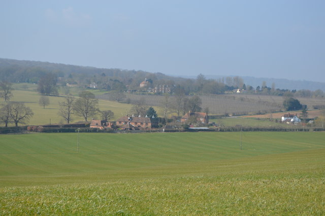
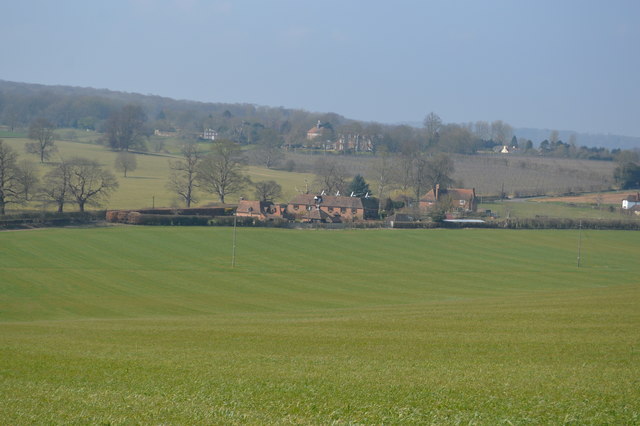
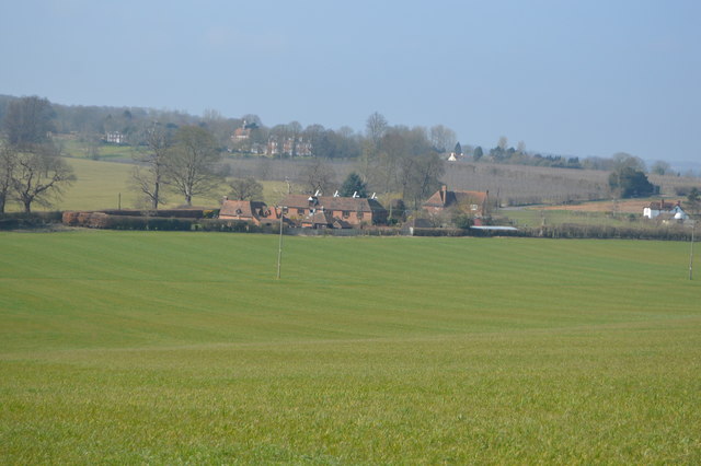
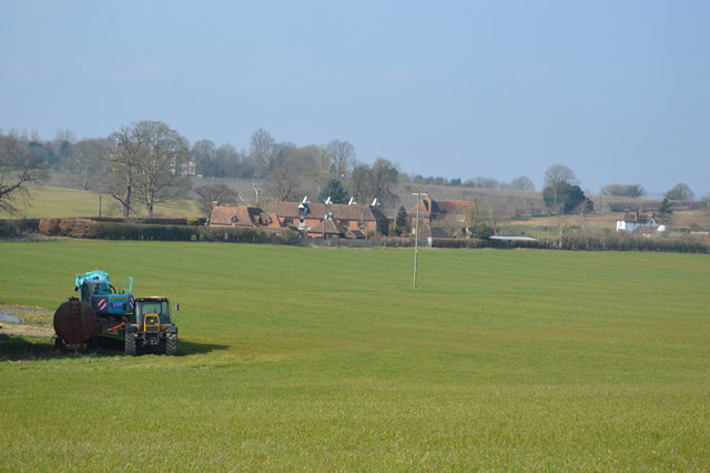
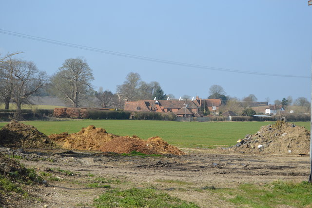
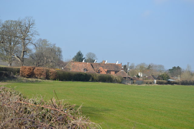
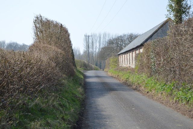
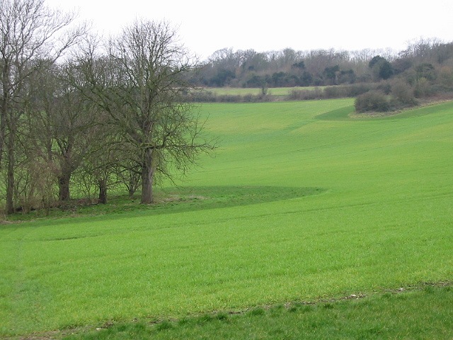
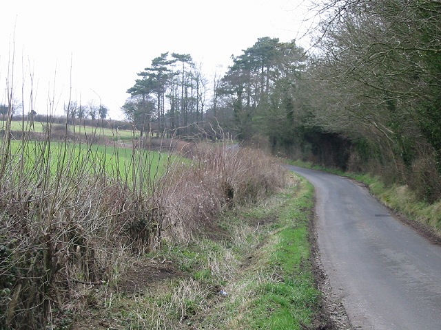
Beech Toll, located in the county of Kent, England, is a picturesque woodland area renowned for its abundant beech trees and serene atmosphere. Situated within a larger forest, Beech Toll offers visitors a peaceful retreat away from the hustle and bustle of urban life.
The woodland is characterized by its dense canopy of beech trees, which provide shade and shelter to a variety of flora and fauna. The towering trees create a tranquil environment, with sunlight filtering through the leaves and casting dappled shadows on the forest floor.
Beech Toll is a popular destination for nature enthusiasts, hikers, and birdwatchers. The woodland is home to a diverse range of wildlife, including species such as deer, squirrels, and a variety of bird species. Visitors can often spot woodpeckers, thrushes, and finches as they explore the winding trails that meander through the woods.
The woodland is well-maintained, with clearly marked paths that allow visitors to navigate through the forest easily. These paths lead visitors through different sections of the woodland, offering them the opportunity to discover hidden glades, babbling brooks, and secluded picnic spots.
The serene ambience of Beech Toll, coupled with its natural beauty, makes it an ideal location for nature walks, photography, and simply immersing oneself in the tranquility of the surroundings. Whether one is seeking solace in nature or looking to reconnect with the great outdoors, Beech Toll in Kent is a destination that promises a memorable and refreshing experience.
If you have any feedback on the listing, please let us know in the comments section below.
Beech Toll Images
Images are sourced within 2km of 51.243642/1.0349021 or Grid Reference TR1153. Thanks to Geograph Open Source API. All images are credited.


Beech Toll is located at Grid Ref: TR1153 (Lat: 51.243642, Lng: 1.0349021)
Administrative County: Kent
District: Canterbury
Police Authority: Kent
What 3 Words
///lobbed.portfolio.teaching. Near Chartham, Kent
Nearby Locations
Related Wikis

St Augustine's Hospital, Chartham
St Augustine's Hospital was a psychiatric hospital in Chartham, Kent, England. It was founded as the second, or East, Kent County Asylum in 1872. In 1948...

Larkey Valley Wood
Larkey Valley Wood is a 44.1-hectare (109-acre) biological Site of Special Scientific Interest south of Canterbury in Kent. It is also a Local Nature Reserve...

Church of St Mary, Chartham
St Mary's Church is in the village of Chartham, Kent, England. It is an active Anglican parish church in the Diocese of Canterbury. Constructed between...

Chartham railway station
Chartham railway station is in Chartham, Kent, on the Ashford to Ramsgate line. The station, and all trains serving it, is operated by Southeastern....
Chartham
Chartham is a village and civil parish in the Canterbury district of Kent, England. It is situated on the Ashford side of the city, and is in the North...

Petham
Petham is a rural village and civil parish in the North Downs, five miles south of Canterbury in Kent, South East England. The village church is All Saints...

Denge Wood
Denge Wood is a wood located 8 miles southwest of Canterbury in Kent, England. The wood is owned by the Forestry Commission and the Woodland Trust. Part...

Thanington
Thanington is a civil parish on the west edge of Canterbury, Kent, United Kingdom. It extends to the south-west of A2 from Wincheap to the Milton Bridge...
Related Videos

Chartham Village, Walking History Tour Guide Using Old Postcards Kent UK
Chartham Village near Canterbury, a walking history tour guide of Chartham Village, Kent using old postcards and photographs.

Do You Walk in the Evening?
eveningwalks #walkmore #visitkent Do you walk in the evening? After a long day of work and home life, an evening walk relaxes ...


Wye 6 Mile Walk + Chartham Vineyard!
charthamvineyard #winetasting #walkingandwine What is better than a 6 mile walk in the Kent countryside? Yes that is right, a 6 ...

Great Stour.
Walk along Great Stour from Chartham to Canterbury in Kent, UK.

English Garden Tour, Canterbury, Larkey Valley Wood
https://www.davidmillett.net https://www.david-millett-publications.com Oregon, Portland, Atlantic, Heathrow, United Kingdom, ...

I got my eyes on you.#wedding #photography #sony #sonyphotography #neerazeyshresthaphotography
I got my eyes on you. photoshoot in Canterbury. Photographer: @neerazey_shrestha_photography Videographer: @nas3dotzero ...

St Mary's Church in Chartham | A Very Impressive Church Indeed | Aerial footage using DJI Mini 3 pro
This is St Mary's Church in Chatham, near Canterbury. for a village church, it is really impressive. I fly my DJI Mini 3 Pro over the ...
Trip to Chartham to meet Laura at The Wonky Parsnip.
Laura is the heart and soul of The Wonky Parsnip at Chartham, near Canterbury. The fantastic produce she's growing on her land ...

***Carp Fishing 2019*** STOUR VALLEY LOGGIES LAKE
SUBSCRIBE here: https://bit.ly/2ViSAZd In the latest video from Wetlines, Ian Baker, Tony Knight, Scott Anderson and his sone ...
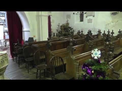
Petham church (1) December 2017 Xmas tree's display
Petham church (1) December 2017 Xmas tree's display.

How do you feel after running a marathon?
It's 2 weeks since I ran my marathon so I thought it would be helpful to share how my body has felt since then. Initially I felt ...

*Steam Railtour* Chartham Station Level Crossing & Dibleys Level Crossing - 01.04.2023
A little bit dryer visit to Chartham after my last video when in December when the crossing went through its upgrade from Gates to ...

#Vlog6 carpfishing (loggies kent) . 24hrs session.
My first trip to loggiss lake on a 24hr session. Managed a couple of carp plus my first ever pike/jackpike.
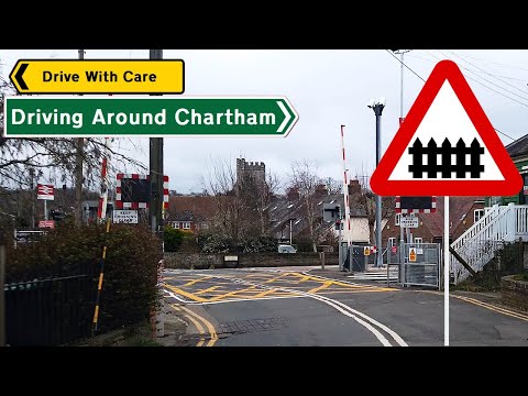
Driving Around Chartham
Driving around Chartham #driving #hazardperception #drivingvideos In this video, I have had a request from @dw1876 who ...

MORNING Panasonic Lumix G80 cinematic Andoer carbon slider 40 cm
Witam Test slidera Andoer 40cm mini carbon. Diękuję za nowe i stare sub oraz pozytywne komentarze.Pozdrawiam Thanks ...

aKadem ~ Superstition (Stevie Wonder Cover) ~ The Granville (Canterbury)
2nd September 2023.

Along The Railway Line | Chartham Railway Station
This time ' Along The Railway Line ', I am going along the Ashford to Ramsgate line in Kent. And in this video, I am at Chartham ...

I just ran 100 miles in one month!
I normally run around 75-80 miles a month but this month I set myself the challenge of running 100 miles! In this video I tell you ...

Chartham folk string band 2021
Collage of chartham folk string band live September 24th 2021 at the Artichoke Inn chartham.
The Golden Arrow 50th Anniversary on 1Z90 and a RHTT on 3W74 @ Chartham 12/11/2022
1Z90 London Victoria - Canterbury West 3W74 Tonbridge West Yard GBRf - Tonbridge West Yard GBRf I thought I'd try and bag ...

Petham church (2) December 2017 Xmas tree's display
Petham church (2) December 2017 Xmas tree's display.

Samuel Ashton (V3) live at Chartham village fete September 2nd 2018 (V3 of 3)
Samuel Ashton live at Chartham village fete September 2nd 2018 (V3 of 3)

Chartham Hatch ECU BCM BSi Test Repair Body Control Module Unit
Call 0800 043 6161 - www.ecuexpress.co.uk.
Nearby Amenities
Located within 500m of 51.243642,1.0349021Have you been to Beech Toll?
Leave your review of Beech Toll below (or comments, questions and feedback).