Lyng Heath
Downs, Moorland in Norfolk Breckland
England
Lyng Heath
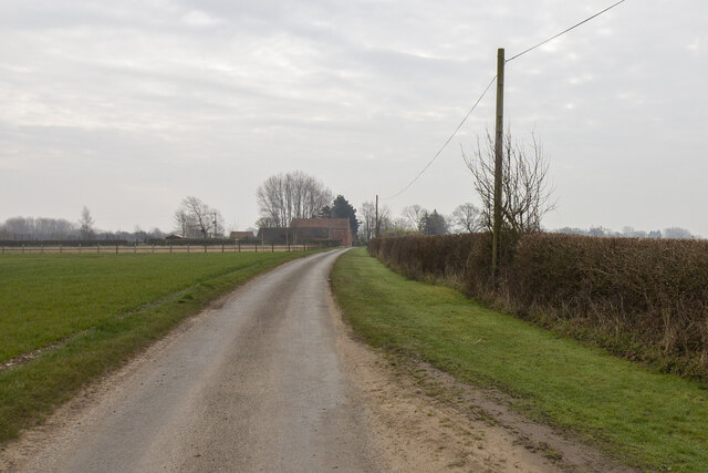
Lyng Heath, located in Norfolk, England, is a diverse and picturesque landscape encompassing downs, moorland, and heathland. Spanning an area of approximately 4 square kilometers, it offers a variety of natural habitats and stunning vistas.
The downs of Lyng Heath are characterized by gently rolling hills covered in short, grassy vegetation. These areas provide a home to a range of plant species, including wildflowers such as harebells and cowslips. The downs also serve as grazing grounds for various livestock, contributing to the maintenance of the landscape.
Adjacent to the downs, the moorland of Lyng Heath exhibits a more rugged terrain, with heather and gorse dominating the landscape. This habitat supports a wealth of wildlife, including birds such as the stonechat and skylark. The moorland also provides shelter for small mammals like rabbits and voles.
Lyng Heath's heathland areas are notable for their open, treeless expanses covered in heather and bracken. These habitats are home to several species of reptiles, including the common lizard and adder. This unique environment is carefully managed to ensure the preservation of its biodiversity.
Visitors to Lyng Heath can explore a network of footpaths and enjoy the tranquil beauty of the surroundings. The area is a popular destination for hikers, birdwatchers, and nature enthusiasts, who can witness the diverse flora and fauna that thrive in this remarkable Norfolk landscape.
Overall, Lyng Heath offers a captivating blend of downs, moorland, and heathland, showcasing the natural beauty and ecological significance of Norfolk's countryside.
If you have any feedback on the listing, please let us know in the comments section below.
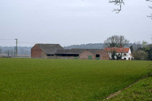
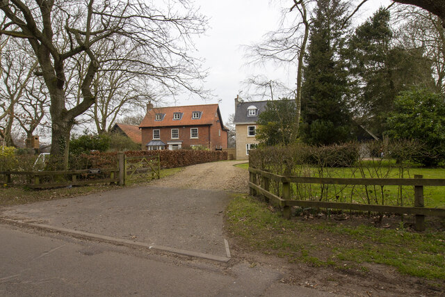
Lyng Heath Images
Images are sourced within 2km of 52.711768/1.0481562 or Grid Reference TG0617. Thanks to Geograph Open Source API. All images are credited.


Lyng Heath is located at Grid Ref: TG0617 (Lat: 52.711768, Lng: 1.0481562)
Administrative County: Norfolk
District: Breckland
Police Authority: Norfolk
What 3 Words
///playfully.equipment.flown. Near Mattishall, Norfolk
Nearby Locations
Related Wikis
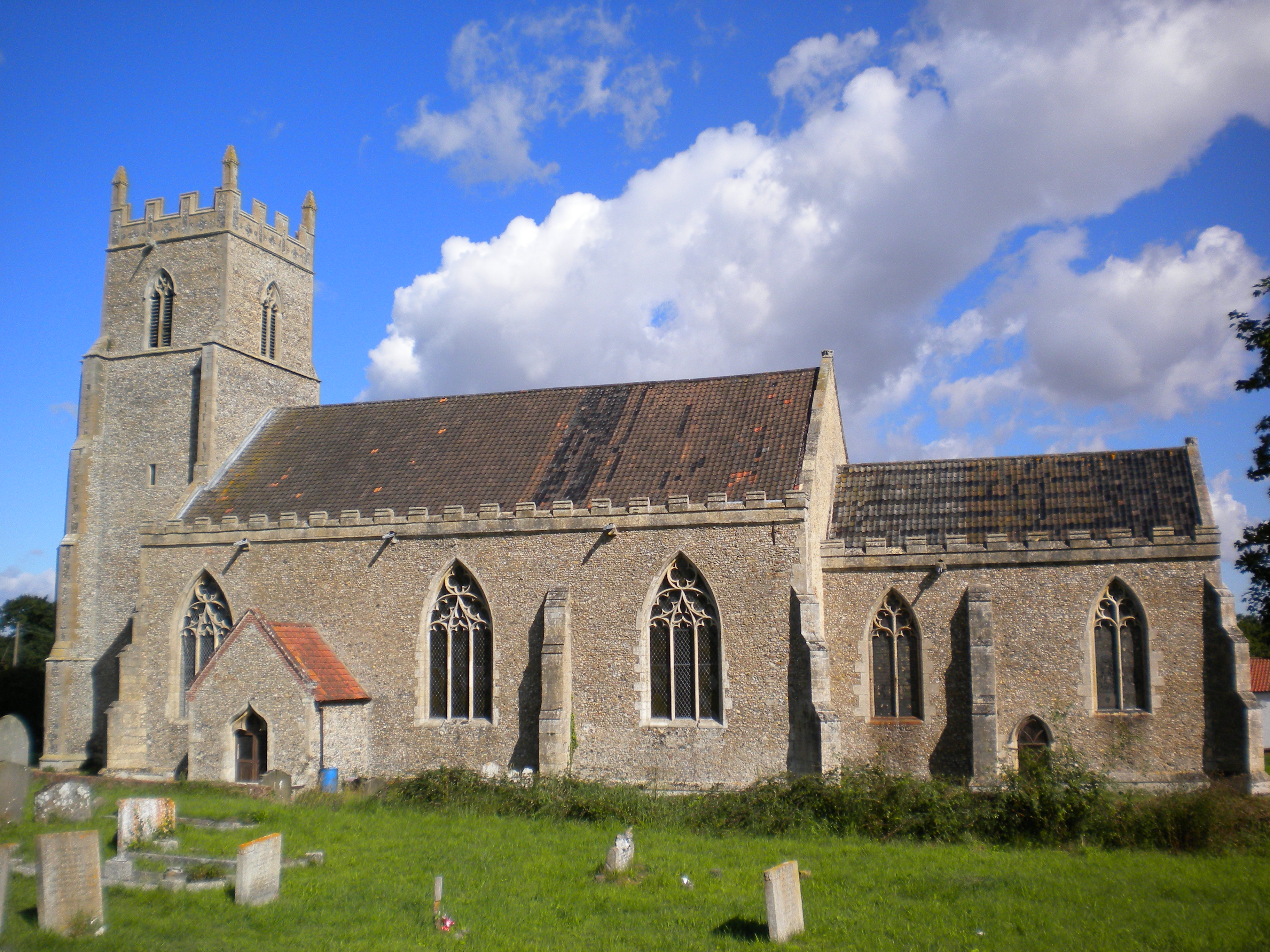
St Mary's Church, Elsing
St Mary's is an Anglican parish church in Elsing, a small village and civil parish in the Breckland district of Norfolk, England. The 14th-century church...
Elsing
Elsing is a village and civil parish in the English county of Norfolk. The village is located 4.2 miles (6.8 km) north-east of Dereham and 12 miles (19...

Lyng, Norfolk
Lyng is a village and civil parish in the English county of Norfolk. It is situated on the River Wensum, some 10 km (6.2 mi) north-east of the town of...

Sparham Pools
Sparham Pools is a 12.2-hectare (30-acre) nature reserve south of Sparham in Norfolk. It is leased and managed by the Norfolk Wildlife Trust.These former...

A1067 road
The A1067 is an English A road entirely in the county of Norfolk. It runs from Fakenham Northern By-Pass (A148) to Norwich inner ring road (A147). �...

Sparham
Sparham is a village and civil parish in Norfolk, England. It covers an area of 7.22 km2 (2.79 sq mi) and had a population of 291 in 109 households at...
Bylaugh Hall
Bylaugh Hall, also known as Bylaugh Park, is a country house situated in the parish of Bylaugh in Norfolk, England. == History == The estate was acquired...

Hockering Wood
Hockering Wood is an 89.5-hectare (221-acre) biological Site of Special Scientific Interest east of Dereham in Norfolk.This is one of the largest areas...
Nearby Amenities
Located within 500m of 52.711768,1.0481562Have you been to Lyng Heath?
Leave your review of Lyng Heath below (or comments, questions and feedback).