Calehill Park
Downs, Moorland in Kent Ashford
England
Calehill Park
Calehill Park, located in Kent, England, is a picturesque natural reserve that encompasses both downs and moorland landscapes. Spanning over a vast area, the park offers visitors an opportunity to immerse themselves in the beauty of nature and explore a diverse range of ecosystems.
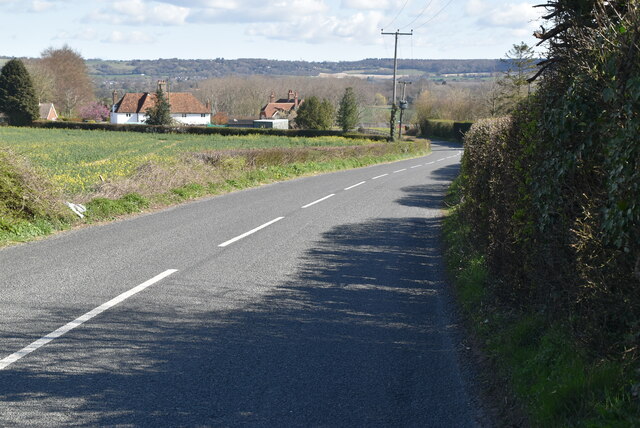
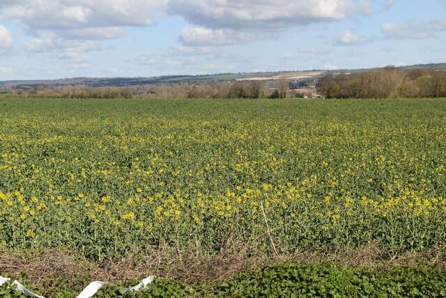
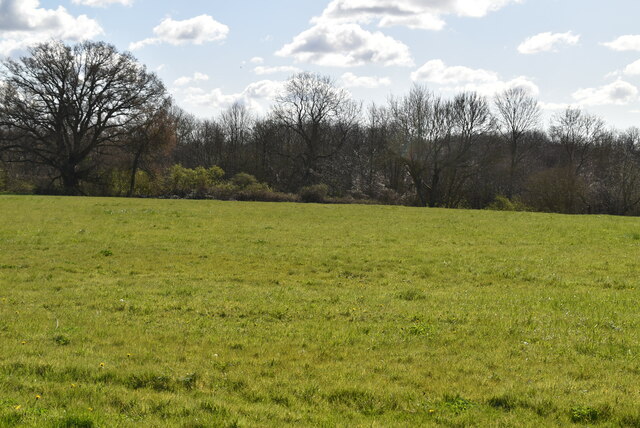
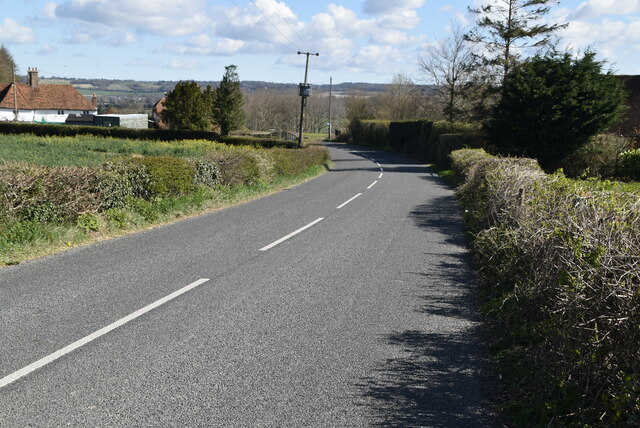
The downs at Calehill Park are characterized by rolling hills covered in lush, green grass. These open spaces provide a perfect setting for leisurely walks, picnics, and recreational activities. The downs are home to a variety of flora and fauna, including wildflowers, grasses, and small mammals.
In contrast, the moorland areas of the park showcase a unique and rugged terrain. Here, visitors can discover heather-covered hillsides, rocky outcrops, and expansive views of the surrounding countryside. The moorland is a haven for birdwatchers, as it attracts a wide range of species, including the elusive Dartford warbler and the majestic buzzard.
Calehill Park is also a haven for outdoor enthusiasts, as it offers numerous walking trails and cycling routes that cater to all levels of experience. The park's well-maintained paths provide visitors with the opportunity to explore its diverse landscapes, from the tranquil downs to the rugged moorland.
With its stunning natural beauty and diverse ecosystems, Calehill Park in Kent is a must-visit destination for those seeking a peaceful retreat in the heart of nature. Whether you are looking for a leisurely stroll, an adrenaline-fueled bike ride, or a chance to observe wildlife, this park has something to offer for everyone.
If you have any feedback on the listing, please let us know in the comments section below.
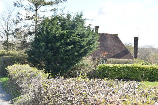
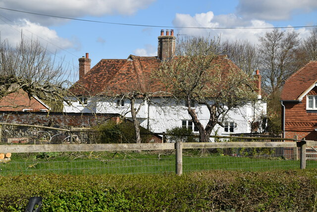
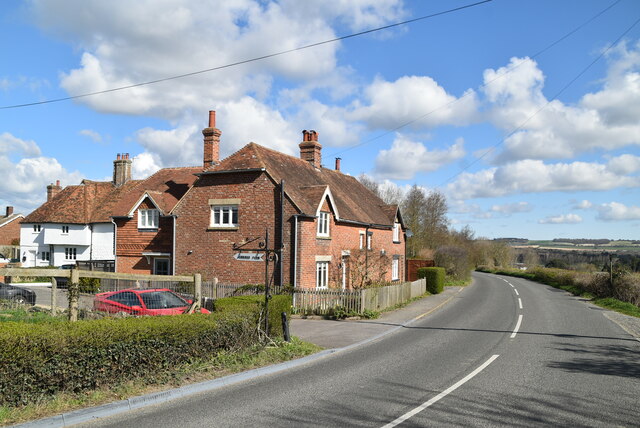
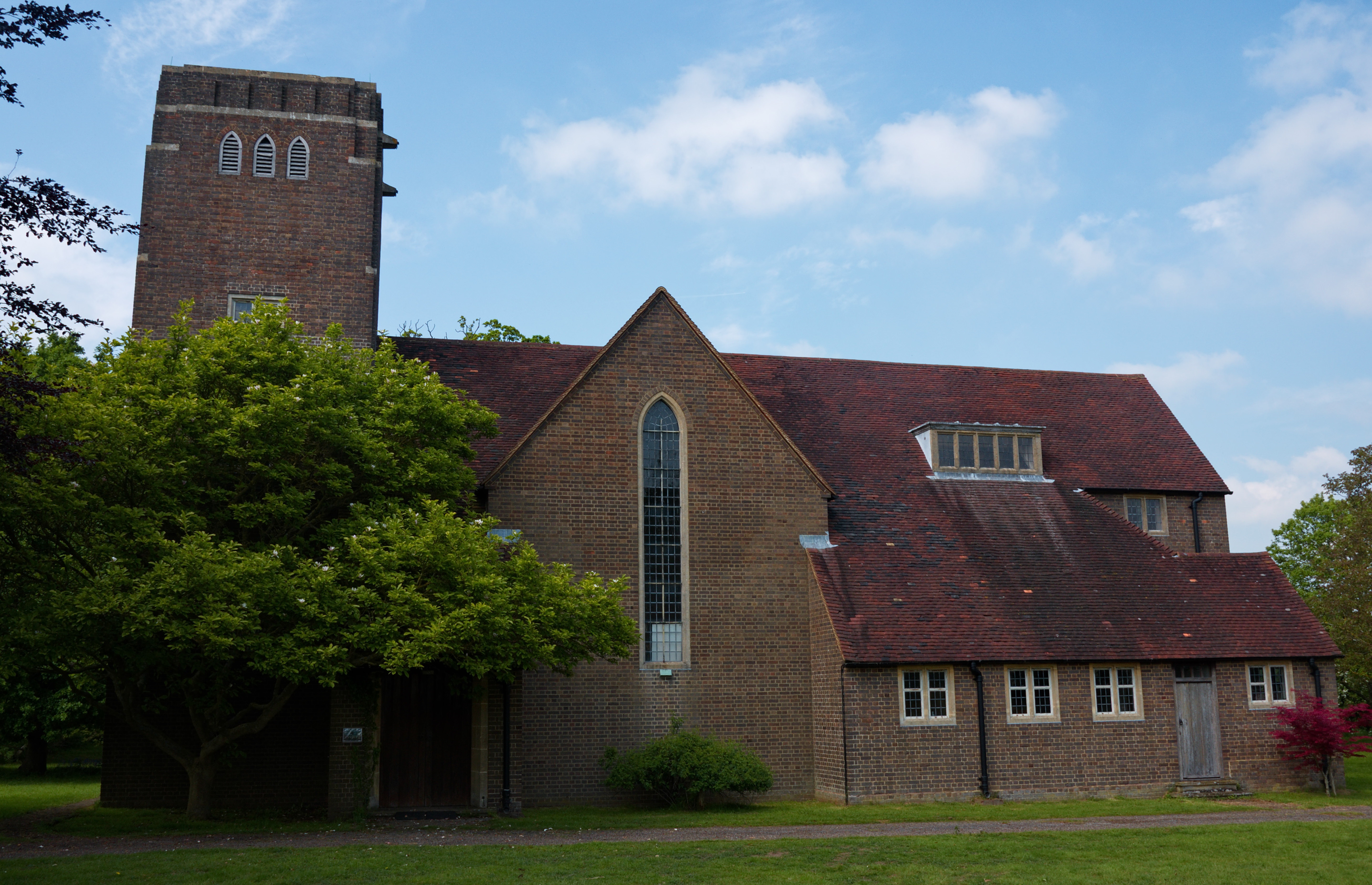
Calehill Park Images
Images are sourced within 2km of 51.191765/0.78085611 or Grid Reference TQ9447. Thanks to Geograph Open Source API. All images are credited.


Calehill Park is located at Grid Ref: TQ9447 (Lat: 51.191765, Lng: 0.78085611)
Administrative County: Kent
District: Ashford
Police Authority: Kent
What 3 Words
///rudder.heat.bagpipes. Near Charing, Kent
Nearby Locations
Related Wikis
Little Chart
Little Chart is a village and civil parish, situated 4 miles (6.4 km) north-west of Ashford in Kent, South East England. The parish lies south of the M20...

Westwell Leacon
Westwell Leacon is a hamlet in the civil parish of Charing near Ashford in Kent, England. Its most famous resident is international Cyclocross star Ian...
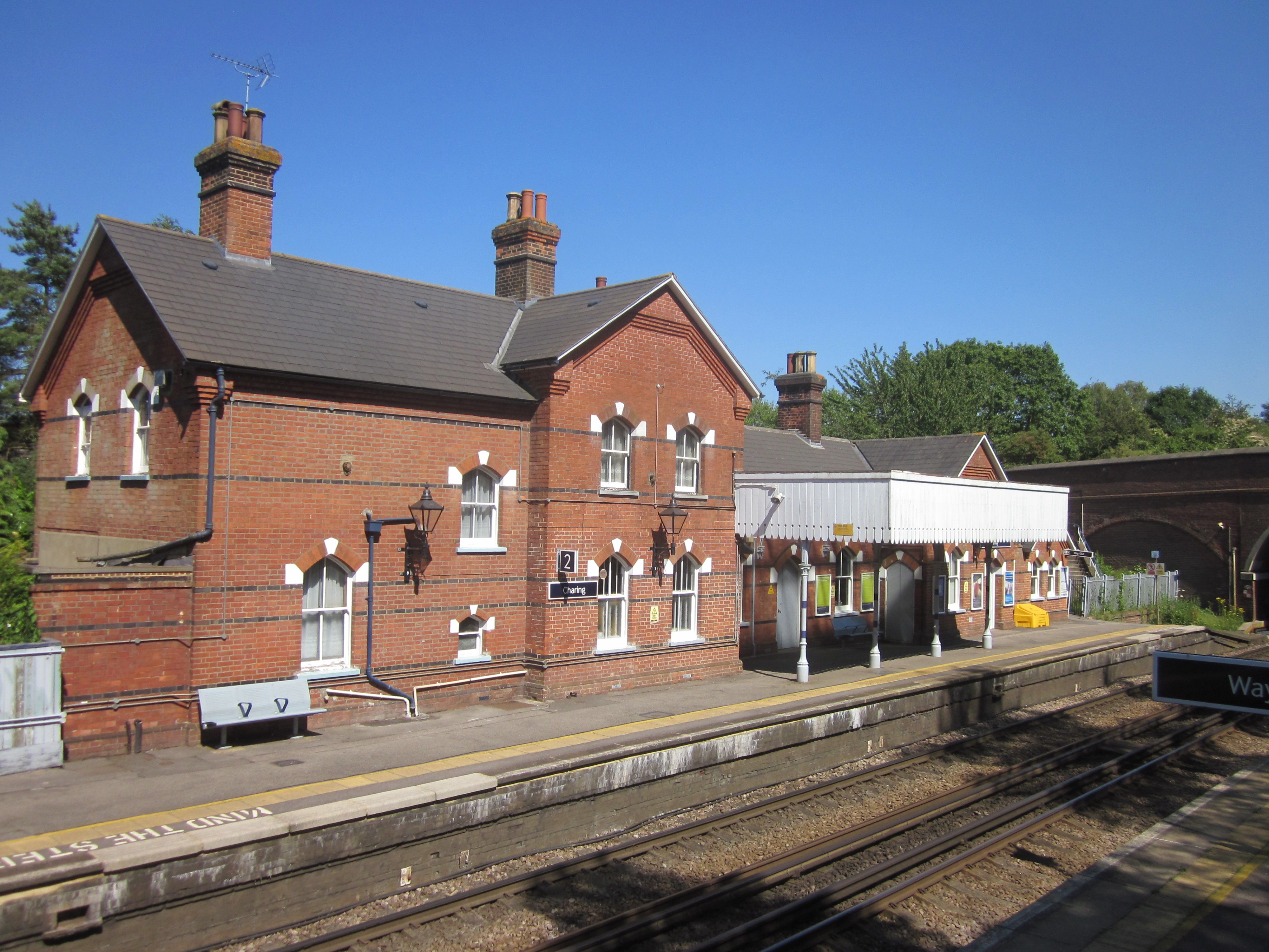
Charing railway station
Charing railway station serves the village of Charing in Kent, England. It is 53 miles 11 chains (85.5 km) down the line from London Victoria. The station...
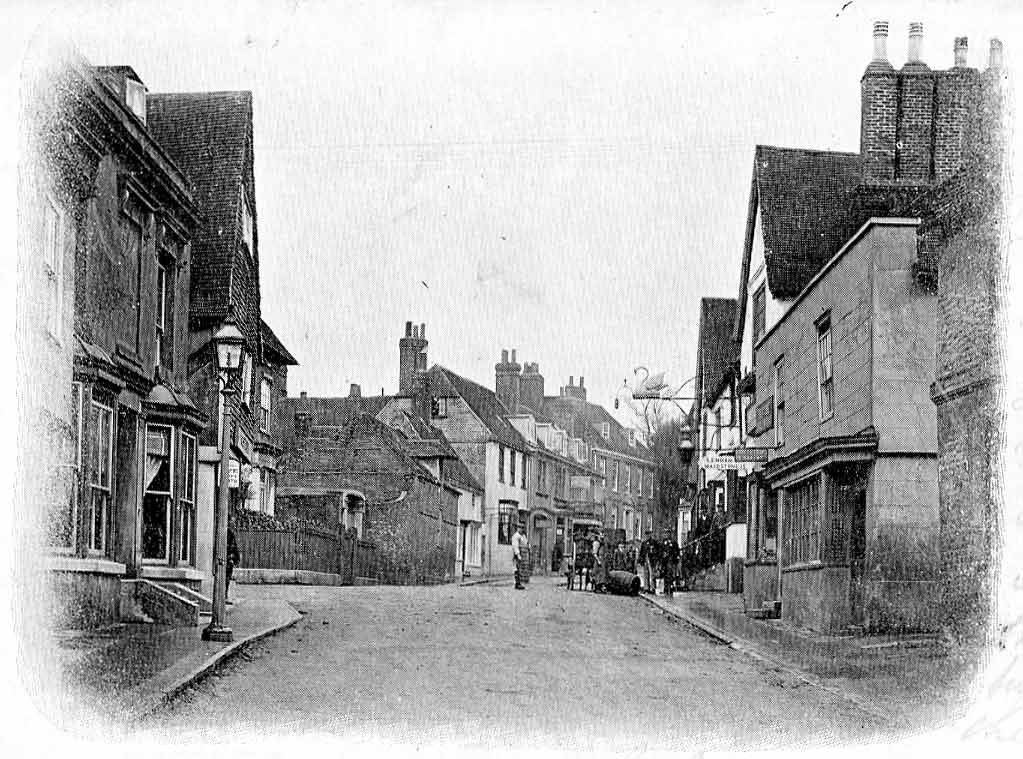
Charing
Charing is a village and civil parish in the Ashford District of Kent, in south-east England. It includes the settlements of Charing Heath and Westwell...
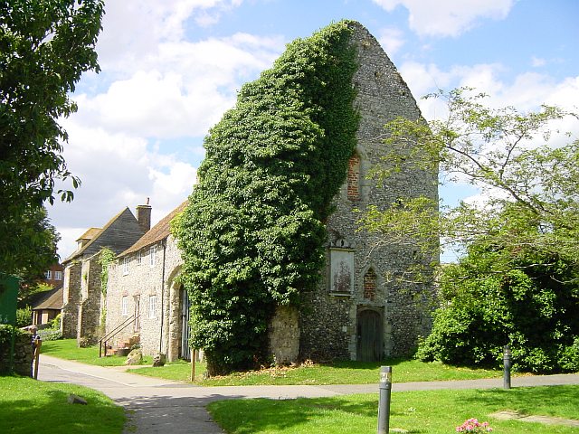
Archbishop's Palace, Charing
Archbishop's Palace, Charing, is an important heritage site dating back to the eighth century, and one of the earliest to be owned by the see of Canterbury...
Pluckley
Pluckley is a village and civil parish in the Ashford district of Kent, England. The civil parish includes the adjacent hamlet of Pluckley Thorne. �...

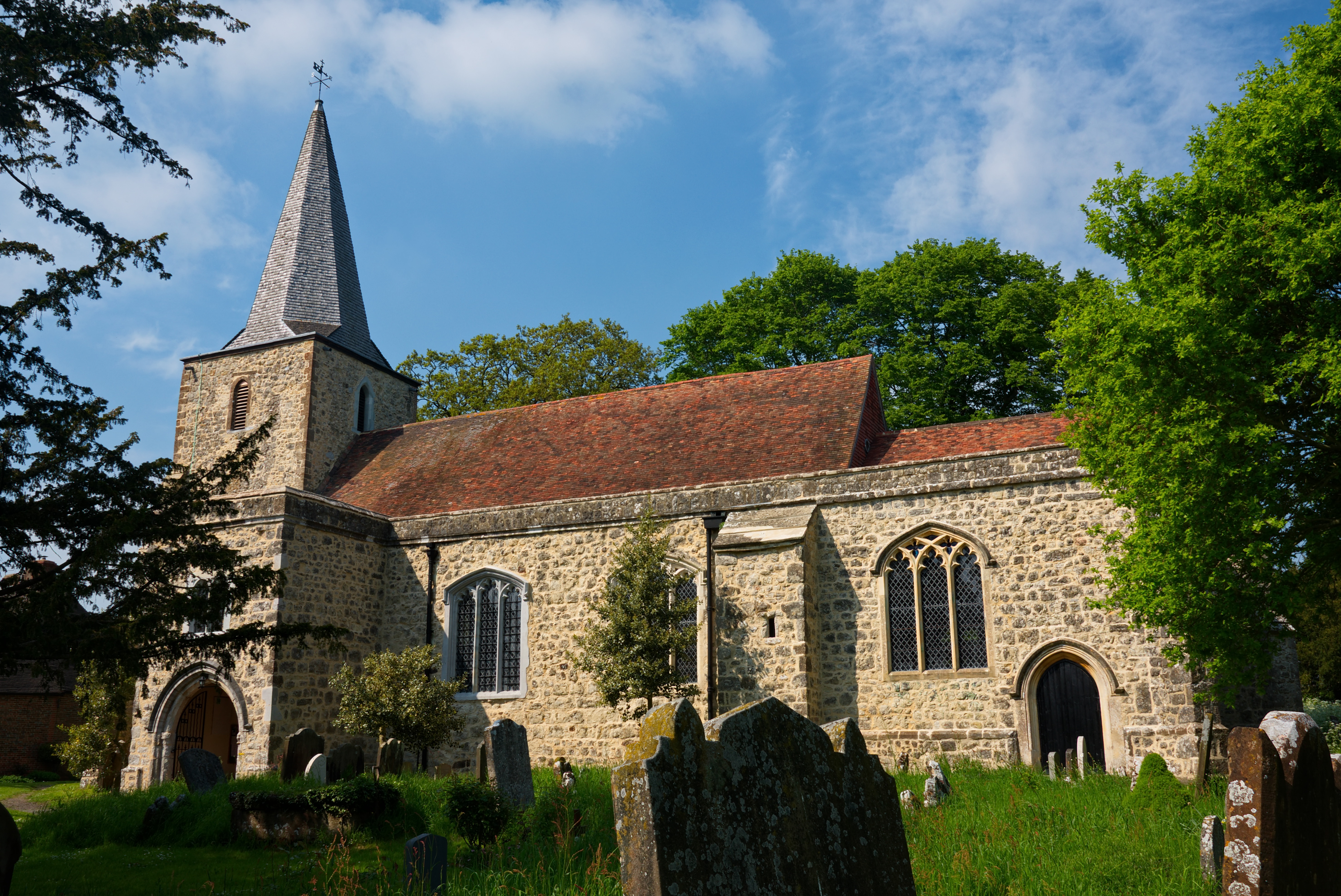
Smarden
Smarden is a civil parish and village, west of Ashford in Kent, South East England. The village has the Anglican parish church of St Michael the Archangel...

Hothfield Common
Hothfield Common is a 56.5-hectare (140-acre) biological Site of Special Scientific Interest north-east of Ashford in Kent. It is also a Local Nature...
Nearby Amenities
Located within 500m of 51.191765,0.78085611Have you been to Calehill Park?
Leave your review of Calehill Park below (or comments, questions and feedback).