Barningham Park
Downs, Moorland in Suffolk West Suffolk
England
Barningham Park
Barningham Park is a picturesque area located in Suffolk, England, known for its beautiful landscapes consisting of downs and moorland. Situated in the heart of the county, this natural paradise offers visitors a retreat from the hustle and bustle of daily life.
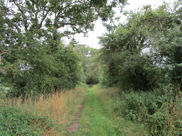
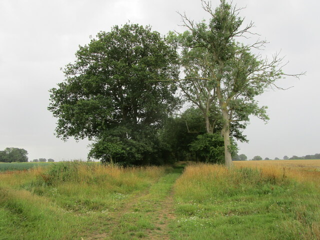
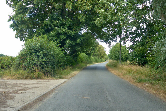
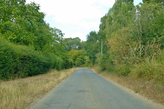
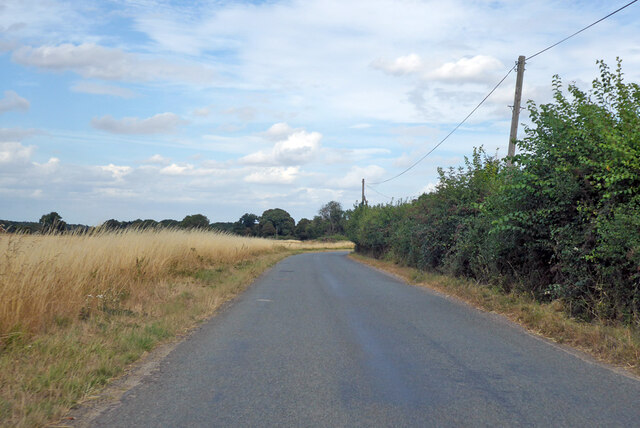
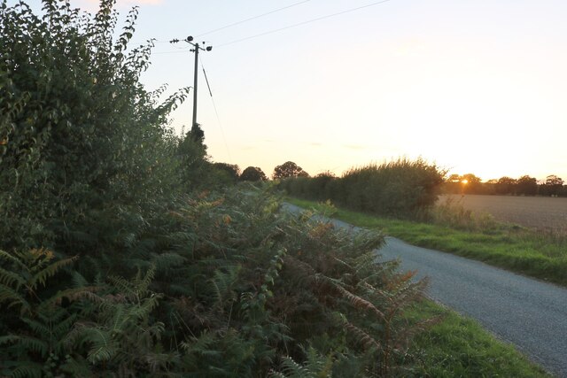
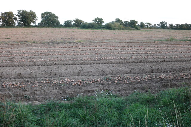
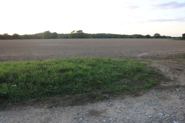
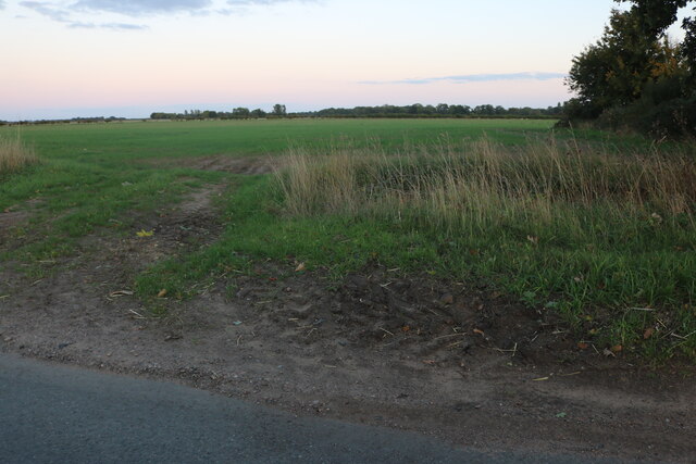
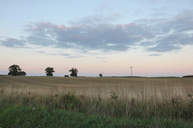
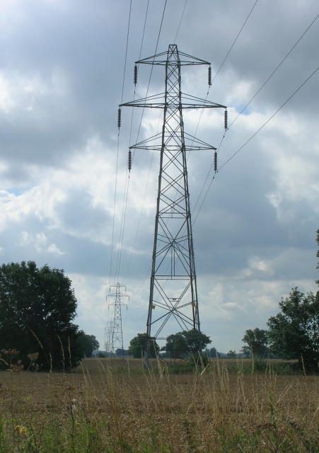
Covering an extensive area, Barningham Park is characterized by its rolling hills, dotted with vibrant heather and gorse, which create a stunning tapestry of colors throughout the year. The downs, which are gentle slopes, provide breathtaking vistas that stretch for miles, allowing visitors to immerse themselves in the tranquility of the Suffolk countryside.
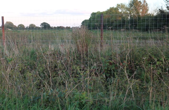
Moorland is another prominent feature of Barningham Park, providing a unique habitat for various plant and animal species. This diverse landscape is home to a wide range of wildlife, including birds, reptiles, and mammals, making it a haven for nature enthusiasts and birdwatchers alike.
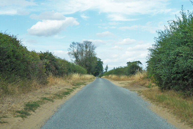
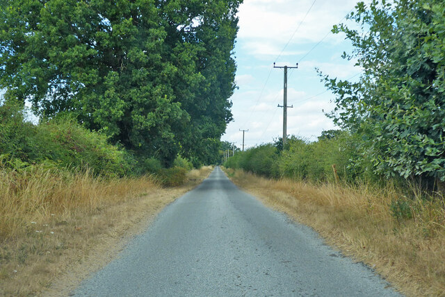
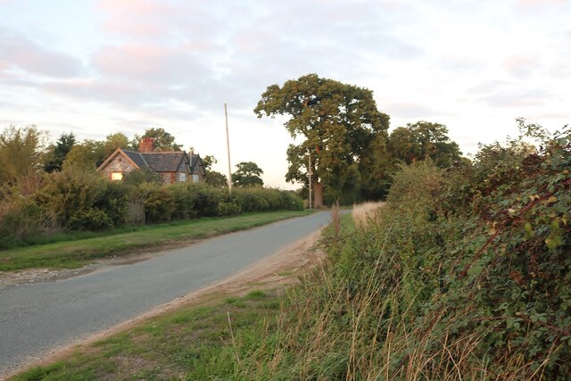
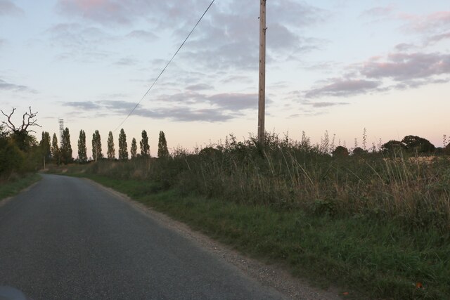
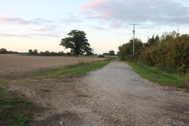
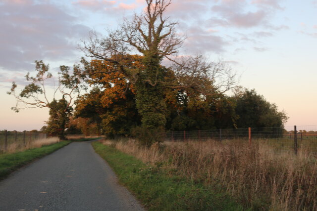
The park offers numerous walking trails, allowing visitors to explore and appreciate the natural beauty that surrounds them. Whether taking a leisurely stroll or embarking on a more challenging hike, visitors can discover hidden valleys, ancient woodlands, and babbling streams.
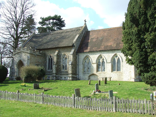
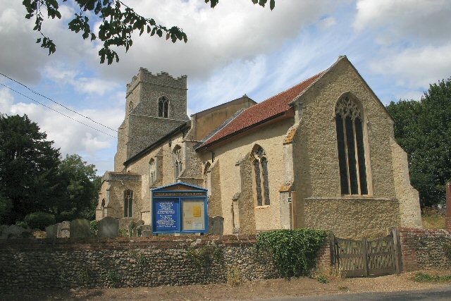
Barningham Park is not only a haven for nature lovers but also a site of historical significance. The area is rich in archaeological remains, including burial mounds and standing stones, providing insights into the region's past.
With its breathtaking landscapes, diverse wildlife, and historical significance, Barningham Park in Suffolk is a must-visit destination for those seeking solace in the beauty of nature and a desire to connect with the rich history of the region.
If you have any feedback on the listing, please let us know in the comments section below.
Barningham Park Images
Images are sourced within 2km of 52.36371/0.85321924 or Grid Reference TL9477. Thanks to Geograph Open Source API. All images are credited.
Barningham Park is located at Grid Ref: TL9477 (Lat: 52.36371, Lng: 0.85321924)
Administrative County: Suffolk
District: West Suffolk
Police Authority: Suffolk
What 3 Words
///calms.safely.ulterior. Near Ixworth, Suffolk
Nearby Locations
Related Wikis
Coney Weston
Coney Weston is a village and civil parish in Suffolk, England, within the West Suffolk district. It is a primarily rural residential town that has dormitory...

Fakenham Wood and Sapiston Great Grove
Fakenham Wood and Sapiston Great Grove is a 200.7-hectare (496-acre) biological Site of Special Scientific Interest north of Sapiston in Suffolk.These...

Bowbeck
Bowbeck is a hamlet in Suffolk, England. == External links == Media related to Bowbeck at Wikimedia Commons
Barningham, Suffolk
Barningham is a village and civil parish in the West Suffolk district of Suffolk, England, about twelve miles north-east of Bury St Edmunds. According...

RAF Knettishall
RAF Knettishall is a former World War II airfield in Suffolk. During the conflict, it was numbered as Station 136 by the United States Army Air Forces...

Knettishall Heath
Knettishall Heath is a 91.7-hectare (227-acre) biological Site of Special Scientific Interest west of Knettishall in Suffolk. A larger area of 176 hectares...
Iceni Way
The Iceni Way is a collective name for several long-distance footpaths running from Knettishall Heath to Hunstanton via the Little Ouse and Great Ouse...

Fakenham Magna
Fakenham Magna (or Great Fakenham) is a village and civil parish in the West Suffolk district of Suffolk in eastern England. The meaning of the word 'Fakenham...
Nearby Amenities
Located within 500m of 52.36371,0.85321924Have you been to Barningham Park?
Leave your review of Barningham Park below (or comments, questions and feedback).