Bexham Common
Downs, Moorland in Norfolk Breckland
England
Bexham Common

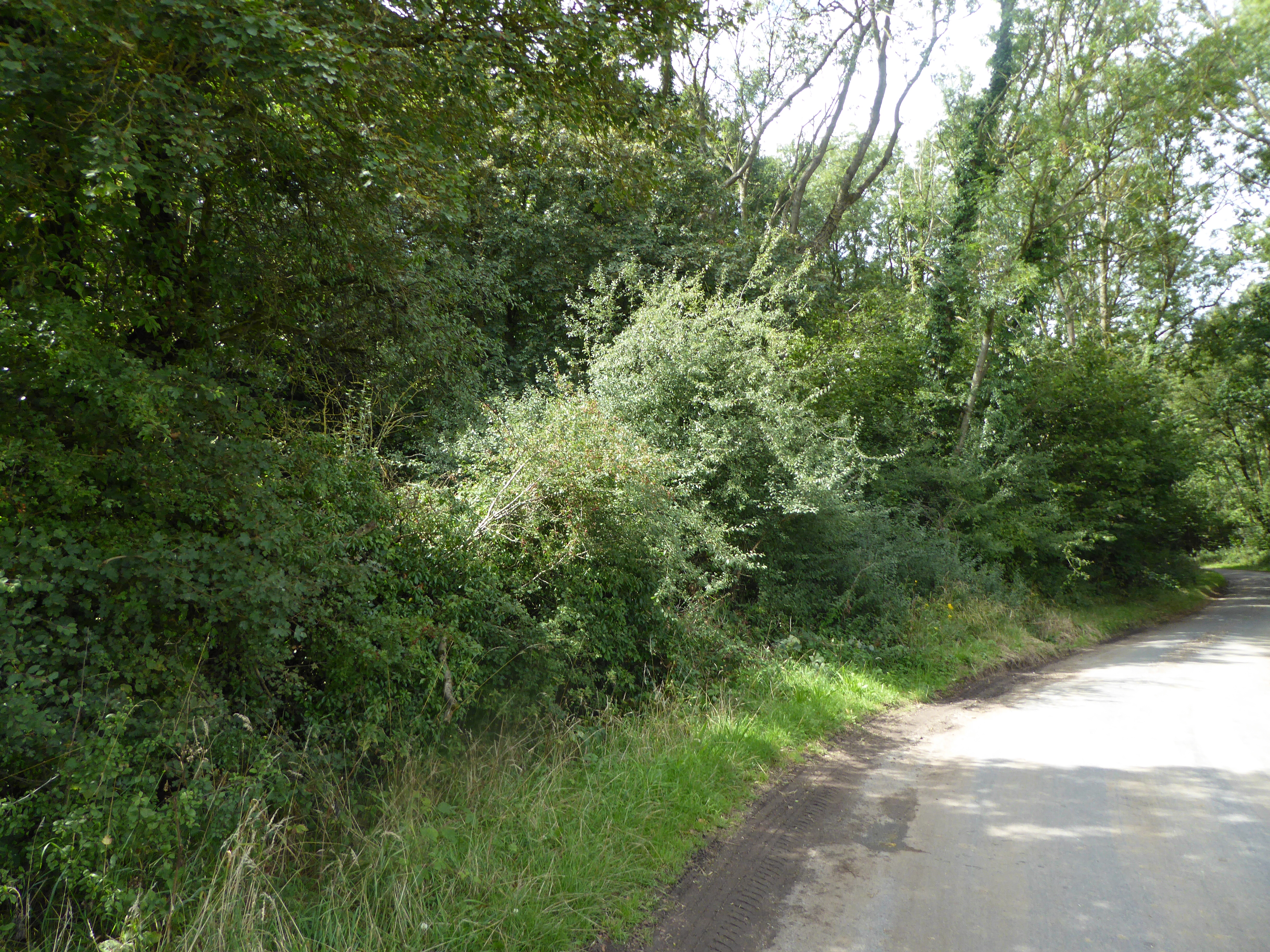
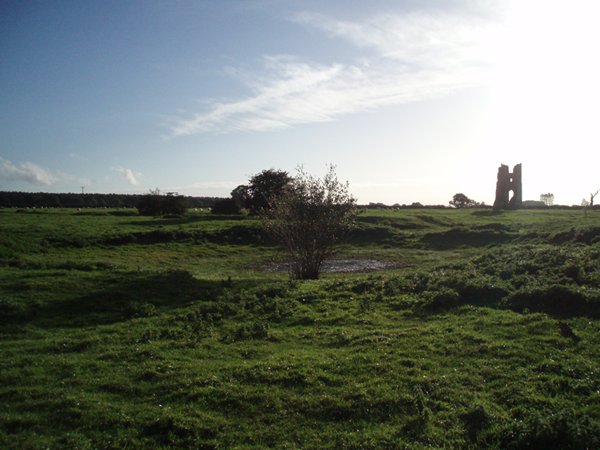
Bexham Common, located in Norfolk, is a vast expanse of natural beauty encompassing downs and moorland. Covering an area of approximately 500 acres, it is renowned for its diverse ecosystems and unique wildlife.
The common is predominantly characterized by its gently rolling downland, featuring wide expanses of open grassland and scattered patches of heather. The landscape offers breathtaking panoramic views, with the highest point reaching around 200 meters above sea level. Visitors to Bexham Common can often witness stunning sunsets and enjoy the tranquility of the surrounding countryside.
The moorland sections of the common are equally captivating, with heath and bog habitats dominating the area. These moorlands are home to an array of plant species, including cotton grass, heather, and various orchids. The diverse flora provides a colorful and vibrant display during the warmer months.
Bexham Common is also a haven for wildlife enthusiasts. The common is a breeding ground for numerous bird species, including the rare nightjar and stonechat. It is not unusual to spot kestrels, skylarks, or even the occasional peregrine falcon soaring through the sky. The moorland areas are inhabited by adders, lizards, and several species of butterflies, making it a popular destination for nature photographers and researchers.
Managed by a local conservation organization, Bexham Common is carefully maintained to preserve its natural beauty and protect its delicate ecosystems. Visitors can explore the common through a network of walking trails, allowing them to fully immerse themselves in the stunning landscape and observe the fascinating wildlife that thrives within this Norfolk gem.
If you have any feedback on the listing, please let us know in the comments section below.
Bexham Common Images
Images are sourced within 2km of 52.756557/0.87818753 or Grid Reference TF9421. Thanks to Geograph Open Source API. All images are credited.


![Milestone on B1145 [Kings]Lynn 20 miles, Norwich 21 miles. See <a title="https://www.geograph.org.uk/photo/4127821" href="https://www.geograph.org.uk/photo/4127821">Link</a> for a detailed view.](https://s1.geograph.org.uk/geophotos/04/12/78/4127817_4520677f.jpg)


Bexham Common is located at Grid Ref: TF9421 (Lat: 52.756557, Lng: 0.87818753)
Administrative County: Norfolk
District: Breckland
Police Authority: Norfolk
What 3 Words
///permanent.clouding.sweetener. Near North Elmham, Norfolk
Nearby Locations
Related Wikis

Brisley
Brisley is a village in the English county of Norfolk located about halfway between Fakenham and East Dereham. It covers an area of 4.90 km2 (1.89 sq mi...
Stanfield, Norfolk
Stanfield (English: ) is a civil parish in the English county of Norfolk. It covers an area of 3.80 km2 (1.47 sq mi) and had a population of 162 in 2011...
Horningtoft
Horningtoft is a village and civil parish in the English county of Norfolk. It covers an area of 5.73 km2 (2.21 sq mi) and had a population of 135 in 54...

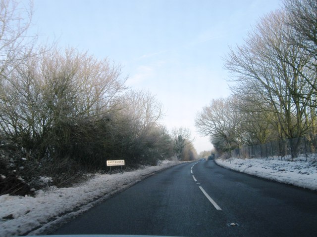
East Bilney
East Bilney is a village and former civil parish, now in the parish of Beetley, in the Breckland district, in the county of Norfolk, England. East Bilney...
Horningtoft Wood
Horningtoft Wood is a 8.3-hectare (21-acre) biological Site of Special Scientific Interest south of Fakenham in Norfolk.This ancient coppice with standards...
Whissonsett
Whissonsett is a village and a civil parish in the English county of Norfolk. The village is 5.0 miles (8.0 km) south of Fakenham, 23 miles (37 km) west...

Panford Beck
Panford Beck is a minor watercourse that is entirely in the county of Norfolk, eastern England. This small short beck rises within the Parish of North...
Godwick
Godwick is a deserted village in the county of Norfolk. Its location was south of Fakenham between the villages of Tittleshall and Whissonsett. There are...
Nearby Amenities
Located within 500m of 52.756557,0.87818753Have you been to Bexham Common?
Leave your review of Bexham Common below (or comments, questions and feedback).