Calehill Heath
Wood, Forest in Kent Ashford
England
Calehill Heath
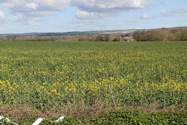
Calehill Heath is a wood or forest located in the county of Kent, England. Situated in the southern part of the county, the heath covers an estimated area of several hectares. The exact size of the wood is difficult to determine as it is not a formally designated forest or nature reserve, but rather a natural wooded area.
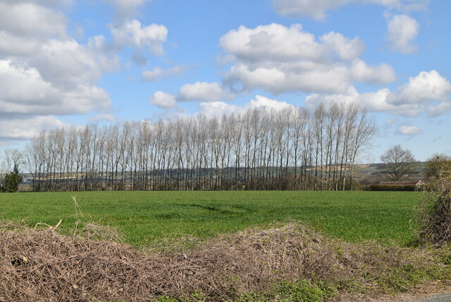
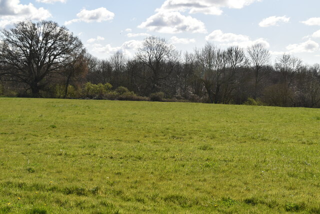
The woodland is characterized by a mixture of different tree species, including oak, birch, and beech. It is also home to a variety of wildlife, such as deer, foxes, and various bird species. The wood is a popular spot for nature enthusiasts and birdwatchers, who often visit to observe and appreciate the local flora and fauna.
The terrain of Calehill Heath consists of undulating hills and valleys, with several footpaths cutting through the wood, allowing visitors to explore and enjoy the natural surroundings. The wood also features a small stream, adding to its scenic beauty.
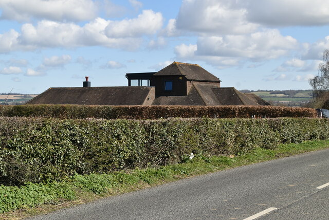
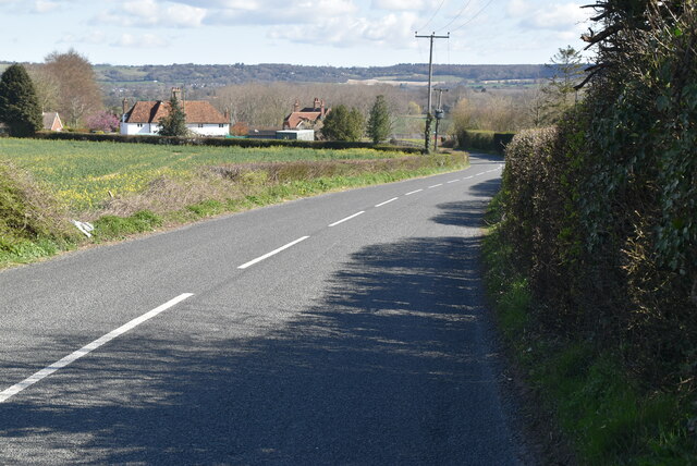
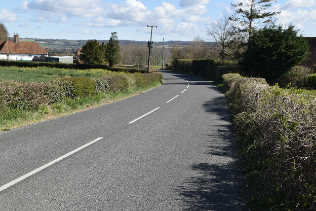
Calehill Heath is easily accessible by car and is located near the town of Wye. It is often used as a recreational area by local residents, who enjoy activities such as walking, jogging, and picnicking in the peaceful surroundings. The wood is also occasionally used for educational purposes, with schools and environmental groups organizing visits to learn about the local ecosystem.
Overall, Calehill Heath is a charming woodland area in Kent, offering a tranquil escape from the hustle and bustle of everyday life and providing a haven for both wildlife and nature enthusiasts.
If you have any feedback on the listing, please let us know in the comments section below.
Calehill Heath Images
Images are sourced within 2km of 51.193311/0.77636876 or Grid Reference TQ9447. Thanks to Geograph Open Source API. All images are credited.


Calehill Heath is located at Grid Ref: TQ9447 (Lat: 51.193311, Lng: 0.77636876)
Administrative County: Kent
District: Ashford
Police Authority: Kent
What 3 Words
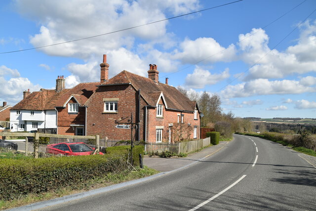
///expressed.linked.geese. Near Charing, Kent
Nearby Locations
Related Wikis
Little Chart
Little Chart is a village and civil parish, situated 4 miles (6.4 km) north-west of Ashford in Kent, South East England. The parish lies south of the M20...
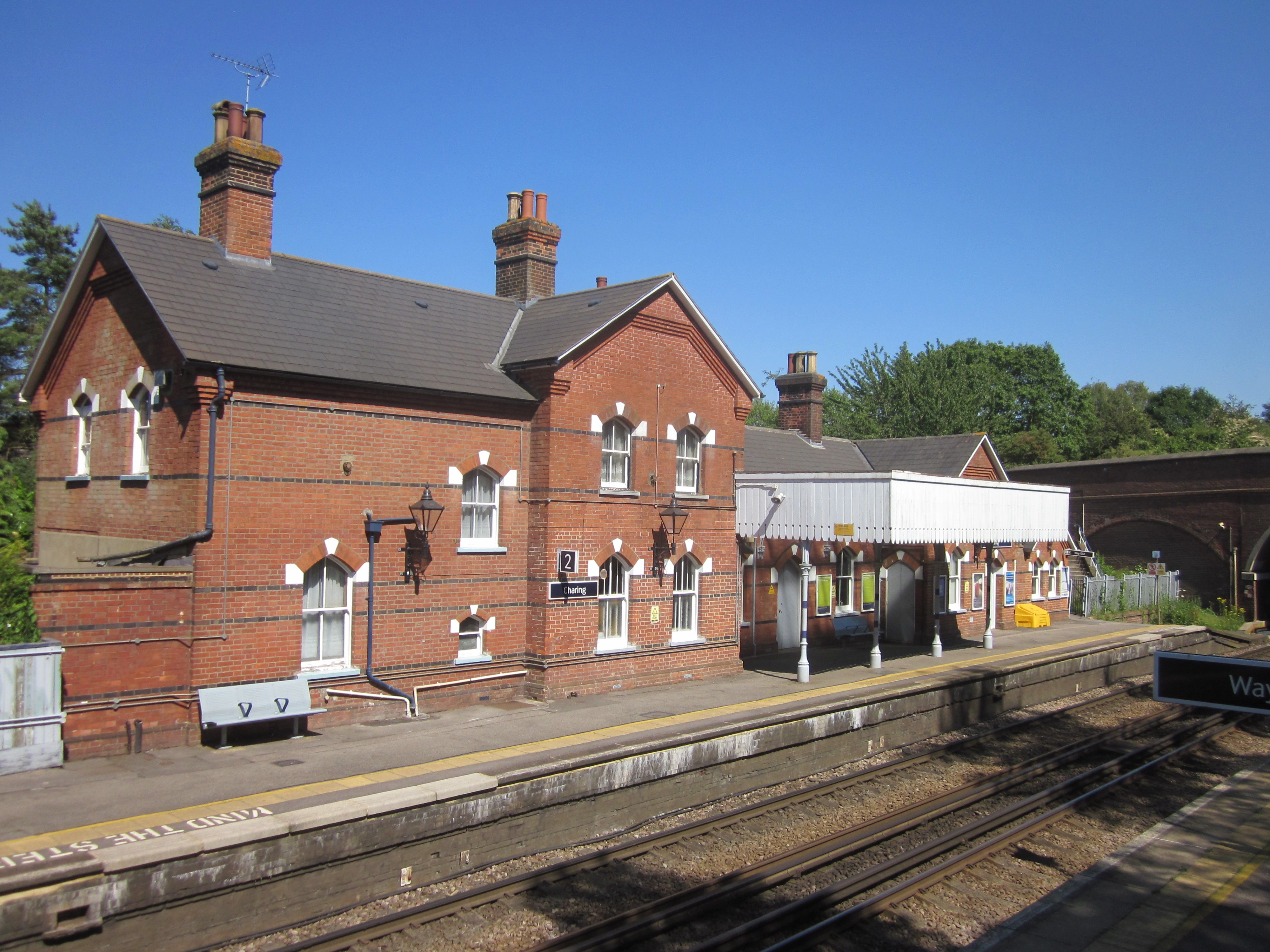
Charing railway station
Charing railway station serves the village of Charing in Kent, England. It is 53 miles 11 chains (85.5 km) down the line from London Victoria. The station...

Westwell Leacon
Westwell Leacon is a hamlet in the civil parish of Charing near Ashford in Kent, England. Its most famous resident is international Cyclocross star Ian...
Pluckley
Pluckley is a village and civil parish in the Ashford district of Kent, England. The civil parish includes the adjacent hamlet of Pluckley Thorne. �...

Smarden
Smarden is a civil parish and village, west of Ashford in Kent, South East England. The village has the Anglican parish church of St Michael the Archangel...
Charing
Charing is a village and civil parish in the Ashford District of Kent, in south-east England. It includes the settlements of Charing Heath and Westwell...
Archbishop's Palace, Charing
Archbishop's Palace, Charing, is an important heritage site dating back to the eighth century, and one of the earliest to be owned by the see of Canterbury...
Stonebridge Green
Stonebridge Green is a settlement adjacent to, and within the civil parish of, Egerton in the Ashford District of Kent, England. It lies immediately north...
Nearby Amenities
Located within 500m of 51.193311,0.77636876Have you been to Calehill Heath?
Leave your review of Calehill Heath below (or comments, questions and feedback).