Torry Hill Park

Downs, Moorland in Kent Maidstone

England

Torry Hill Park

Entrance to Old Rectory Stables, Milstead The drive leads off Horn Hill.
Entrance to Old Rectory Stables, Milstead Credit: pam fray

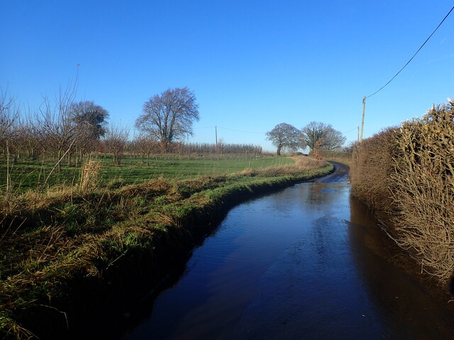
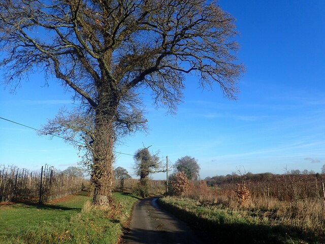
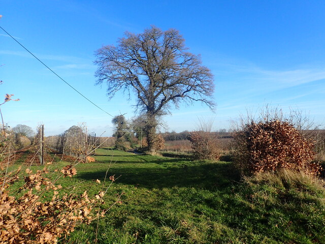
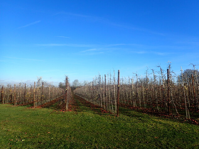
Torry Hill Park, located in the picturesque county of Kent, is a stunning estate situated amidst the captivating landscape of the Downs and Moorland areas. Spanning over vast acres, this park offers a tranquil retreat for nature enthusiasts and those seeking a peaceful escape from the bustling city life.

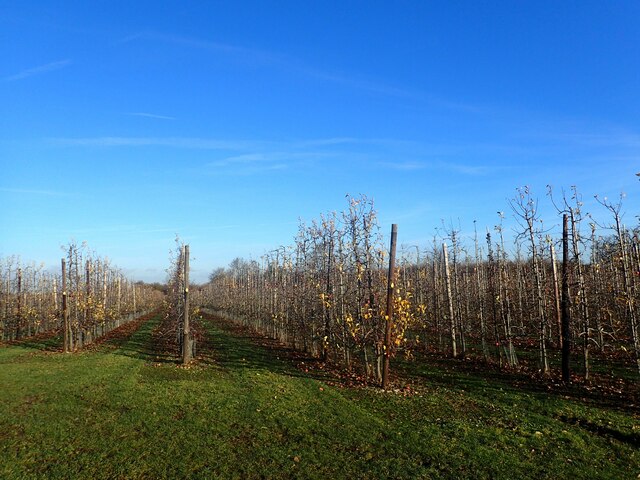
The park is renowned for its diverse and breathtaking natural beauty. Rolling hills, verdant meadows, and lush woodlands are an integral part of the landscape, creating a harmonious blend of colors and textures. The Downs, characterized by their gentle slopes and open grasslands, provide a perfect spot for leisurely walks, picnics, and enjoying panoramic views of the surrounding countryside.

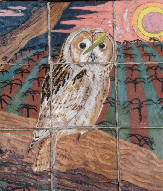
Moorland, on the other hand, consists of vast expanses of heather-covered hills and valleys, creating a unique and striking landscape. This area is a haven for birdwatchers, as it hosts a wide variety of avian species, including the iconic red grouse and the elusive merlin.

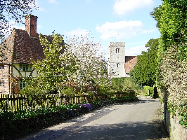
Torry Hill Park also boasts a rich history, with its origins dating back to the 14th century. The estate features a grand manor house, which stands as a testament to the architectural prowess of the past. Visitors can explore the beautifully landscaped gardens, adorned with vibrant flowers and well-manicured lawns, while immersing themselves in the history and heritage of the park.

Overall, Torry Hill Park, with its extraordinary natural beauty and historical significance, offers a captivating experience for visitors of all ages. Whether it's a leisurely stroll through the Downs, a bird-watching expedition in the Moorland, or a journey through time in the manor house, this park is a true gem in the heart of Kent.

If you have any feedback on the listing, please let us know in the comments section below.

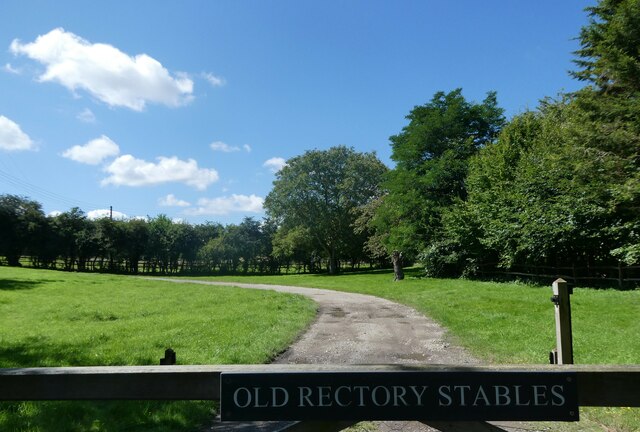
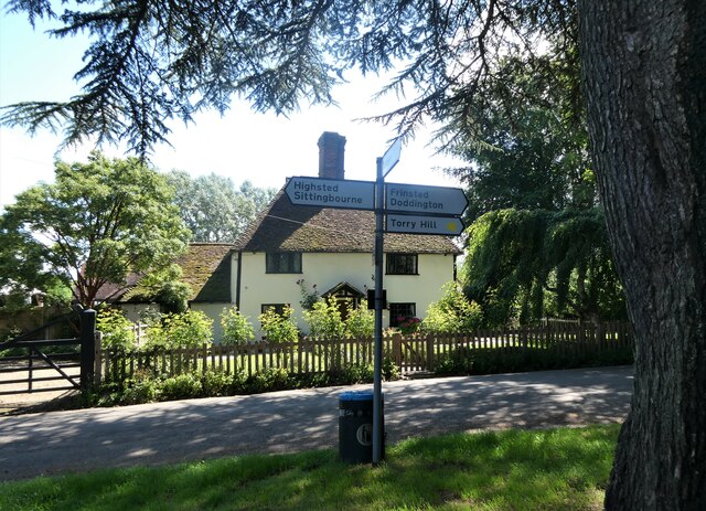
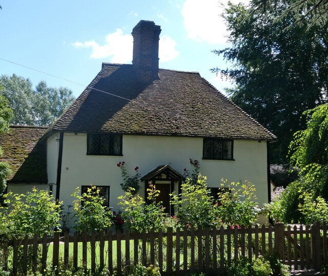
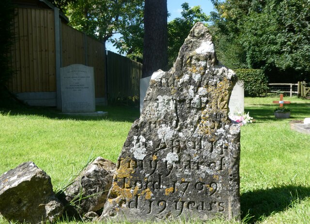
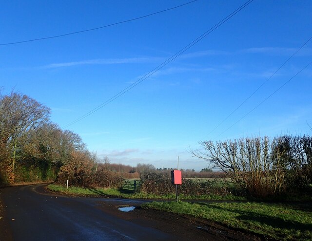
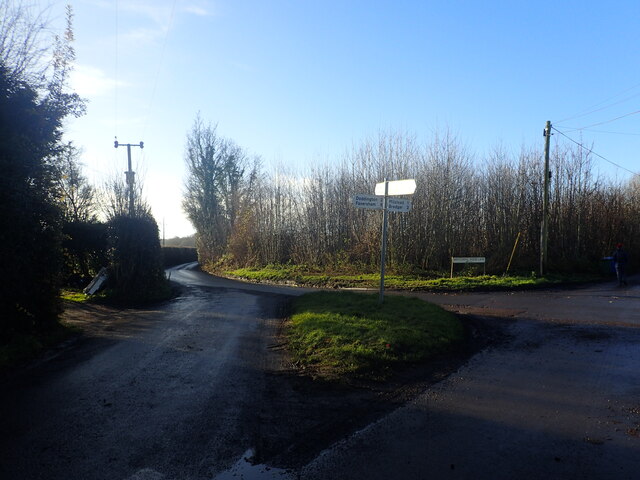
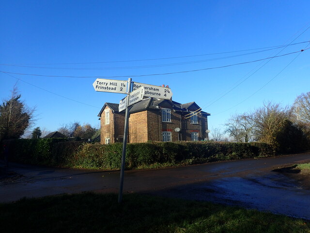
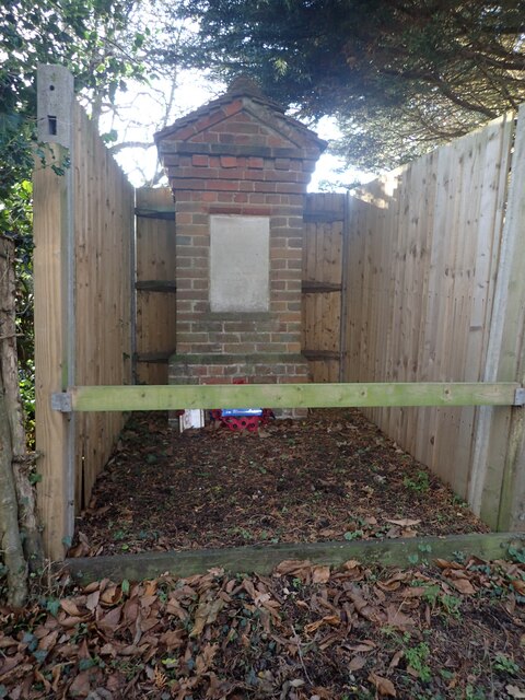
Torry Hill Park Images

Images are sourced within 2km of 51.281465/0.72806139 or Grid Reference TQ9057. Thanks to Geograph Open Source API. All images are credited.

Entrance to Old Rectory Stables, Milstead The drive leads off Horn Hill.
Entrance to Old Rectory Stables, Milstead
The drive leads off Horn Hill.
Signpost and cottage, Milstead Northwards, Rawling Street leads to Sittingbourne, southwards Frinsted Road leads to Frinsted and Doddington. Rose Cottage is a Grade II listed building.
Signpost and cottage, Milstead
Northwards, Rawling Street leads to Sittingbourne, southwards Frinsted Road leads to Frinsted and Doddington. Rose Cottage is a Grade II listed building.
Rose Cottage, Milstead On Rawling Street, a Grade II listed building.
Rose Cottage, Milstead
On Rawling Street, a Grade II listed building.
Village sign, Milstead A wooden sign on the wall of the Village Hall. The plaque beneath states that it was carved by Mr. Norman Smithers and unveiled by Cllr. Jean Newman in 1993.
Village sign, Milstead
A wooden sign on the wall of the Village Hall. The plaque beneath states that it was carved by Mr. Norman Smithers and unveiled by Cllr. Jean Newman in 1993.
Ceramic tiles round the base of the Village Hall, Milstead One set of 26, one for each letter of the alphabet, created by local people. This is one of 8 contributed by Nigel Hobbins.
Ceramic tiles round the base of the Village Hall, Milstead
One set of 26, one for each letter of the alphabet, created by local people. This is one of 8 contributed by Nigel Hobbins.
Milstead Cricket Club ground and pavilion The entrance is in Rawling Street, opposite the Village Hall.
Milstead Cricket Club ground and pavilion
The entrance is in Rawling Street, opposite the Village Hall.
19th century gravestone in Milstead churchyard On the western side of the Church of St. Mary and the Holy Cross.
19th century gravestone in Milstead churchyard
On the western side of the Church of St. Mary and the Holy Cross.
Lych gate, the church of St. Mary and the Holy Cross, Milstead
Gravestone, the church of St. Mary and the Holy Cross, Milstead The remains of an 18th  century gravestone.
Gravestone, the church of St. Mary and the Holy Cross, Milstead
The remains of an 18th century gravestone.
Crossroads at Bluetown Sawpit Road is straight ahead while Down Court Road is on the right.
Crossroads at Bluetown
Sawpit Road is straight ahead while Down Court Road is on the right.
Crossroads at Bluetown Mintching Wood Lane is to the right while the continuation of Sawpit Road is to the left.
Crossroads at Bluetown
Mintching Wood Lane is to the right while the continuation of Sawpit Road is to the left.
House at Bluetown Mintching Wood Lane is to the left of the house while Sawpit Road is to the right. The photograph is taken from Down Court Road.
House at Bluetown
Mintching Wood Lane is to the left of the house while Sawpit Road is to the right. The photograph is taken from Down Court Road.
Flooded road on Mintching Wood Lane Street View shows that it is common to have water here, even in late summer - <span class="nowrap"><a title="www.google.co.uk/maps/@51.2922289,0.7393942,3a,75y,356.57h,80.12t/data=!3m6!1e1!3m4!1sCAqZ_ztriv3A21Dsp1d4VQ!2e0!7i16384!8i8192?entry=ttu" rel="nofollow ugc noopener" href="http://www.google.co.uk/maps/@51.2922289,0.7393942,3a,75y,356.57h,80.12t/data=!3m6!1e1!3m4!1sCAqZ_ztriv3A21Dsp1d4VQ!2e0!7i16384!8i8192?entry=ttu">Link</a><img style="margin-left:2px;" alt="External link" title="External link - shift click to open in new window" src="https://s1.geograph.org.uk/img/external.png" width="10" height="10"/></span>

This was particularly bad and necessitated walking along the bank to the left of the road.
Flooded road on Mintching Wood Lane
Street View shows that it is common to have water here, even in late summer - LinkExternal link This was particularly bad and necessitated walking along the bank to the left of the road.
View from Manor Road This short lane links Manor Road with Mintching Wood Lane.
View from Manor Road
This short lane links Manor Road with Mintching Wood Lane.
View from Manor Road This tree is standing alongside the short lane which links Manor Road with Mintching Wood Lane - see <a title="www.geograph.org.uk/photo/7672493" href="https://www.geograph.org.uk/photo/7672493">Link</a>
View from Manor Road
This tree is standing alongside the short lane which links Manor Road with Mintching Wood Lane - see Link
Out of season apple trees This is seen from Manor Road. As can be seen, there are still a great many windfalls.
Out of season apple trees
This is seen from Manor Road. As can be seen, there are still a great many windfalls.
Apple orchard in December This is seen from Manor Road. As can be seen, there are still a great many windfalls.
Apple orchard in December
This is seen from Manor Road. As can be seen, there are still a great many windfalls.
An unusual war memorial The wording on the memorial states "In this field the 3rd Battalion Gloucestershire Regiment Lt Col G. H. Burges Commanding was encamped during the summers of 1916 - 1917". The memorial is next to Horn Hill and close to the entrance to the Girl Guiding Hall at Hornhill. See also <a title="www.geograph.org.uk/photo/7672535" href="https://www.geograph.org.uk/photo/7672535">Link</a>
An unusual war memorial
The wording on the memorial states "In this field the 3rd Battalion Gloucestershire Regiment Lt Col G. H. Burges Commanding was encamped during the summers of 1916 - 1917". The memorial is next to Horn Hill and close to the entrance to the Girl Guiding Hall at Hornhill. See also Link
Show me another place!

Torry Hill Park is located at Grid Ref: TQ9057 (Lat: 51.281465, Lng: 0.72806139)

Administrative County: Kent

District: Maidstone

Police Authority: Kent

What 3 Words

///shoebox.standards.until. Near Lenham, Kent

Related Wikis

Torry Hill Railway

The Torry Hill Railway is a private miniature railway with the unusual gauge of 9 inches (229 mm) at Torry Hill near Frinsted in the Borough of Maidstone...
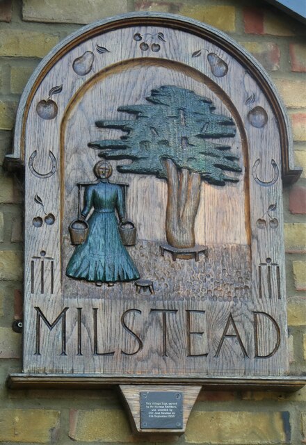
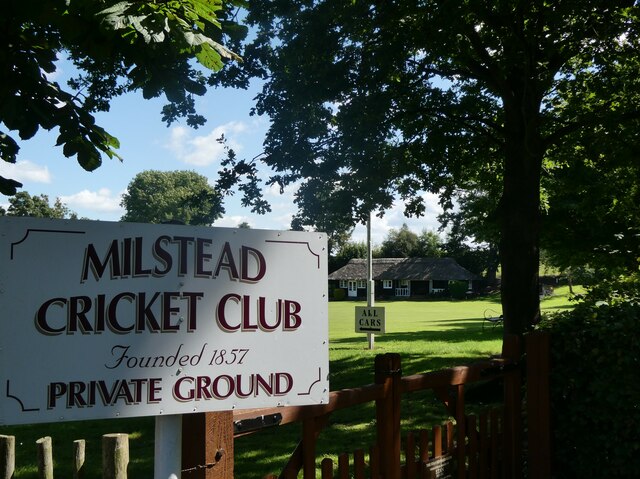
Milstead

Milstead is a village and civil parish in the borough of Swale in Kent, England. It is surrounded by the villages of Frinsted, Wichling, Doddington and...

Frinsted

Frinsted or Frinstead is a small village and civil parish in the ecclesiastical parish of Wormshill and in the Maidstone District of Kent, England. and...

Wichling

Wichling (otherwise Wychling) is a village and civil parish within the local government district of Maidstone, in England. The parish lies approximately...

St Giles Church, Wormshill

St Giles Church is the sole church in the village of Wormshill in Kent. The church is Anglican and is dedicated to Saint Giles. It forms part of the united...

Wormshill

Wormshill ( wurmz-HIL), historically Wormsell, is a small village and civil parish within the Borough of Maidstone, Kent, England. The parish is approximately...

Dungate

Dungate is a village near the M2 motorway, in the Swale district, in the English county of Kent. It is near the town of Sittingbourne. == References... ==

Bexon

Bexon is a village in Kent, England, situated North of the parishes of Frinsted and Bicknor, just south of the M2 motorway. Bexon is also the name of...

Nearby Amenities

Located within 500m of 51.281465,0.72806139
Kippen
Building: yes
Source: npe
Wikidata: Q26376087
Lat/Long: 51.2822709/0.7217254
Man Made: survey_point
Operator: Ordnance Survey
Operator Wikidata: Q548721
Lat/Long: 51.2829527/0.7323761
The data included in this document is from www.openstreetmap.org. The data is made available under ODbL.

Have you been to Torry Hill Park?

Leave your review of Torry Hill Park below (or comments, questions and feedback).