Hogshaw Wood
Wood, Forest in Kent Swale
England
Hogshaw Wood
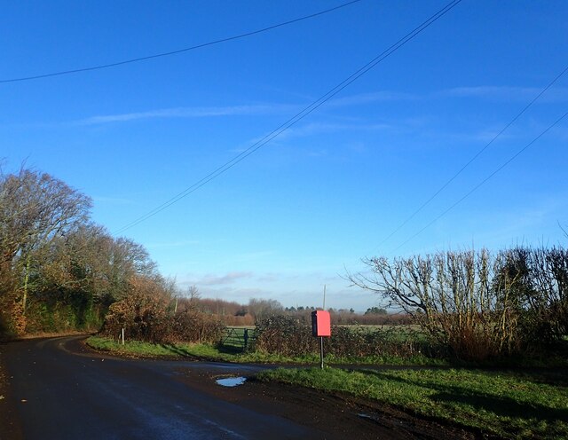
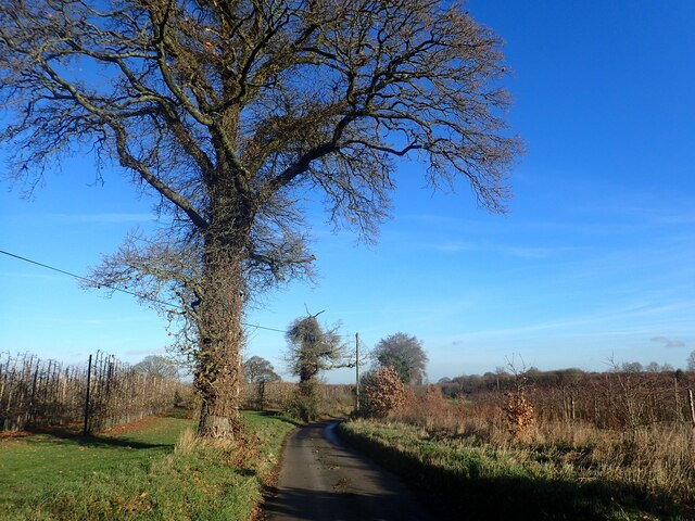
Hogshaw Wood is a beautiful and tranquil woodland located in the county of Kent, England. Covering an area of approximately 50 acres, the wood is nestled within the picturesque landscape of the Kent Downs, a designated Area of Outstanding Natural Beauty.
The wood is predominantly made up of native broadleaf trees, including oak, beech, and ash, which create a dense and diverse canopy overhead. These trees provide a rich habitat for a wide range of flora and fauna, making Hogshaw Wood a haven for nature enthusiasts and wildlife lovers.
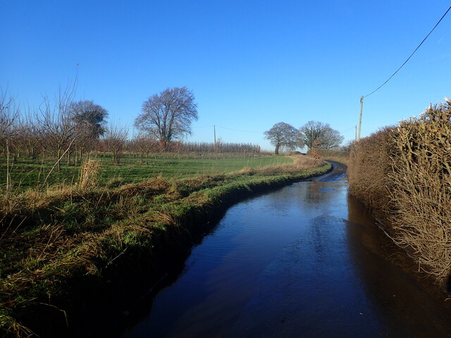
Walking through Hogshaw Wood, one can witness the changing scenery with each passing season. In spring, the forest floor is adorned with a vibrant carpet of bluebells and wild garlic, creating a stunning display of color and scent. During the summer months, the canopy provides much-needed shade, and the air is filled with the songs of various bird species.
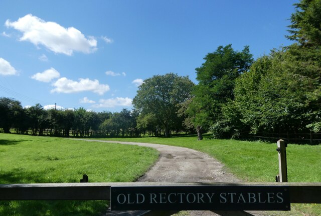
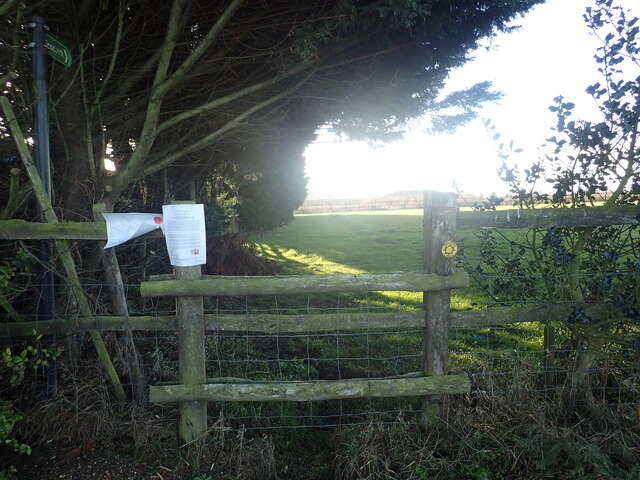
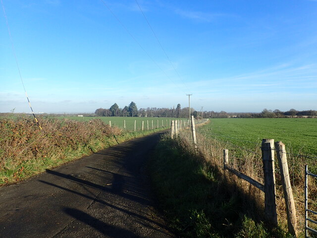
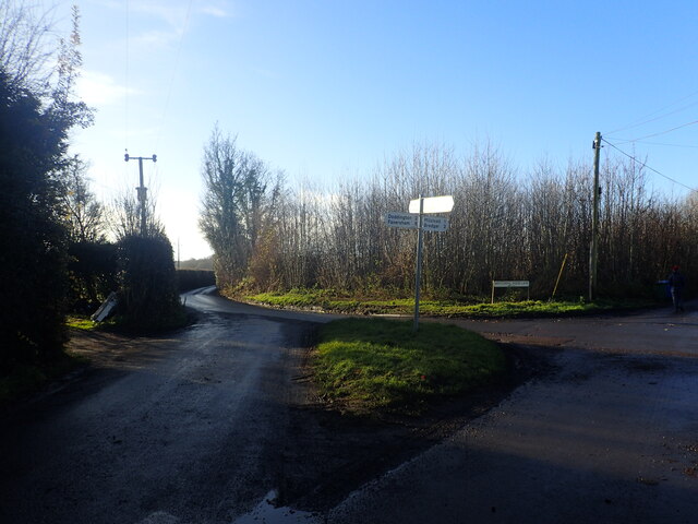
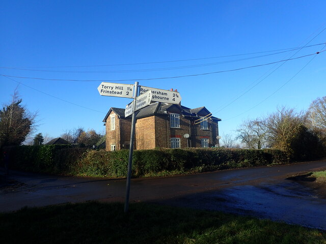
Hogshaw Wood is also home to a network of walking trails, allowing visitors to explore its natural beauty at their own pace. These paths wind their way through the woodland, offering glimpses of hidden glades, babbling brooks, and ancient trees that have stood for centuries.
The wood is managed by a local conservation organization, which ensures that the delicate ecosystem is protected and maintained. Volunteers regularly carry out conservation work, including coppicing trees and managing invasive species, in order to preserve the biodiversity of the wood.
Overall, Hogshaw Wood is a treasured natural gem in the heart of Kent, offering a peaceful retreat where visitors can connect with nature and experience the beauty of the English countryside.
If you have any feedback on the listing, please let us know in the comments section below.
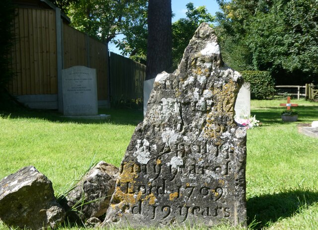
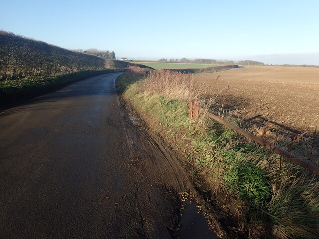
Hogshaw Wood Images
Images are sourced within 2km of 51.287236/0.73475747 or Grid Reference TQ9057. Thanks to Geograph Open Source API. All images are credited.

Hogshaw Wood is located at Grid Ref: TQ9057 (Lat: 51.287236, Lng: 0.73475747)
Administrative County: Kent
District: Swale
Police Authority: Kent
What 3 Words
///emerald.earlobes.spoil. Near Lenham, Kent
Nearby Locations
Related Wikis
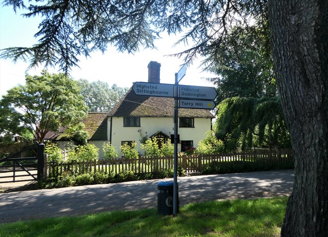
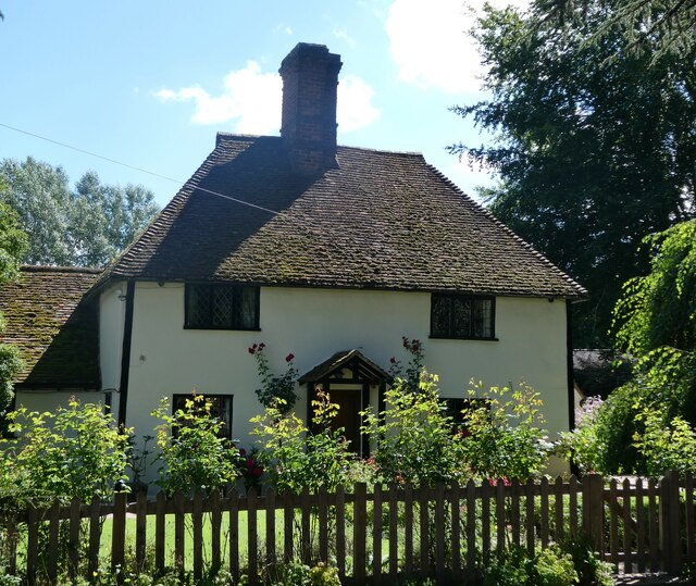
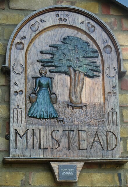
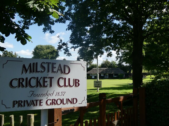
Milstead
Milstead is a village and civil parish in the borough of Swale in Kent, England. It is surrounded by the villages of Frinsted, Wichling, Doddington and...

Torry Hill Railway
The Torry Hill Railway is a private miniature railway with the unusual gauge of 9 inches (229 mm) at Torry Hill near Frinsted in the Borough of Maidstone...

Dungate
Dungate is a village near the M2 motorway, in the Swale district, in the English county of Kent. It is near the town of Sittingbourne. == References... ==

Frinsted
Frinsted or Frinstead is a small village and civil parish in the ecclesiastical parish of Wormshill and in the Maidstone District of Kent, England. and...

Wichling
Wichling (otherwise Wychling) is a village and civil parish within the local government district of Maidstone, in England. The parish lies approximately...
Bexon
Bexon is a village in Kent, England, situated North of the parishes of Frinsted and Bicknor, just south of the M2 motorway. Bexon is also the name of...

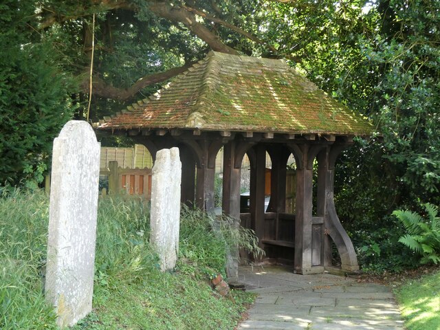
St Giles Church, Wormshill
St Giles Church is the sole church in the village of Wormshill in Kent. The church is Anglican and is dedicated to Saint Giles. It forms part of the united...

Cromers Wood
Cromers Wood is a 28-hectare (69-acre) nature reserve between Milstead and Sittingbourne in Kent. It is managed by Kent Wildlife Trust.This ancient semi...
Nearby Amenities
Located within 500m of 51.287236,0.73475747Have you been to Hogshaw Wood?
Leave your review of Hogshaw Wood below (or comments, questions and feedback).