Rushgreen Wood

Wood, Forest in Kent Ashford

England

Rushgreen Wood

Reading Street: Barrowsland Farm
Reading Street: Barrowsland Farm Credit: Michael Garlick

Rushgreen Wood, located in the county of Kent, England, is a picturesque woodland area that encompasses approximately 100 acres. Situated near the village of Lenham, this well-preserved forest is a popular destination for nature enthusiasts and those seeking tranquility in a natural setting.

The wood boasts a diverse range of tree species, including oak, beech, chestnut, and birch, which create a vibrant and lush canopy, especially during the spring and summer months. The forest floor is adorned with an array of wildflowers, such as bluebells and primroses, adding bursts of color to the landscape.

Traversing through Rushgreen Wood is facilitated by a network of well-maintained footpaths, allowing visitors to explore its beauty at their own pace. These pathways wind their way through the wood, leading to secluded clearings and hidden ponds, providing opportunities for peaceful reflection and wildlife observation.

The forest is home to a variety of fauna, including deer, foxes, badgers, and a rich bird population. Birdwatchers can delight in spotting species such as woodpeckers, nuthatches, and tawny owls, making it a haven for ornithologists and nature photographers.

Rushgreen Wood also holds historical significance, with evidence of human habitation dating back centuries. Ancient earthworks and remnants of medieval settlements can still be found within the woodland, adding an extra layer of intrigue for history buffs.

Overall, Rushgreen Wood is a cherished natural gem in the heart of Kent, offering visitors an opportunity to connect with nature, explore its rich biodiversity, and immerse themselves in the beauty and tranquility of this enchanting woodland.

If you have any feedback on the listing, please let us know in the comments section below.

Rushgreen Wood Images

Images are sourced within 2km of 51.026382/0.71919884 or Grid Reference TQ9028. Thanks to Geograph Open Source API. All images are credited.

Reading Street: Barrowsland Farm
Lane and Drain near Reading Street
Reading Sewer A bridleway runs alongside all the way to Reading Street.
Reading Sewer
A bridleway runs alongside all the way to Reading Street.
Crop Field and reeds
Lane and Drain near Rats Castle The lane links Wittersham to Reading Street; the drain heads north to Reading Sewer.
Lane and Drain near Rats Castle
The lane links Wittersham to Reading Street; the drain heads north to Reading Sewer.
Barrowsland Farm from Reading Sewer Looking south west across the former Rother river valley towards the Isle of Oxney and the ridge containing a barn from Barrowsland Farm. The size of the valley floor gives some idea of the width of the river in medieval times.
Barrowsland Farm from Reading Sewer
Looking south west across the former Rother river valley towards the Isle of Oxney and the ridge containing a barn from Barrowsland Farm. The size of the valley floor gives some idea of the width of the river in medieval times.
Reading Sewer The remnants of the former northern course of the River Rother which ran in this direction from the 12th to 17th centuries. The river was still tidal at this point and wide enough for there to be a lucrative shipbuilding industry upstream at Smallhythe from the 14th to 16th centuries. A combination of marsh inning further upstream and the silting of the river around Appledore eventually caused the Rother to be rerouted south of Oxney in 1635. The former northern valley was inned and the former river turned into a drainage sewer linking Newmill Channel and High Knock Channel.
Reading Sewer
The remnants of the former northern course of the River Rother which ran in this direction from the 12th to 17th centuries. The river was still tidal at this point and wide enough for there to be a lucrative shipbuilding industry upstream at Smallhythe from the 14th to 16th centuries. A combination of marsh inning further upstream and the silting of the river around Appledore eventually caused the Rother to be rerouted south of Oxney in 1635. The former northern valley was inned and the former river turned into a drainage sewer linking Newmill Channel and High Knock Channel.
Reading Sewer The remnant of the former River Rother heads south before turning west to Smallhythe whose church is visible on the horizon.
Reading Sewer
The remnant of the former River Rother heads south before turning west to Smallhythe whose church is visible on the horizon.
Barn at Barrowsland Farm on the Isle of Oxney
Brick Barn at Barrowsland Farm on the Isle of Oxney
Retiling on Acton Lane
Lane past Rats Castle A curious name for a house - there would be plenty of water rats about, but perhaps real rats came to this higher ground when the levels flooded.
Lane past Rats Castle
A curious name for a house - there would be plenty of water rats about, but perhaps real rats came to this higher ground when the levels flooded.
Barrowlands Farm View of the farm on Acton Lane. Seen from a footpath from Reading Street towards Dumbourne Farm. Before the tree line in the foreground is the Reading Sewer (large dyke).
Compare with <a href="https://www.geograph.org.uk/photo/405520">TQ9130 : View to Barrack Farm from Barrowsland Farm across the Rother Levels</a>. Looking the reverse way.
Barrowlands Farm
View of the farm on Acton Lane. Seen from a footpath from Reading Street towards Dumbourne Farm. Before the tree line in the foreground is the Reading Sewer (large dyke). Compare with TQ9130 : View to Barrack Farm from Barrowsland Farm across the Rother Levels. Looking the reverse way.
Footpath towards Hillyfield Wood A footpath from Dumbourne Farm to Reading Street uses part of a track from Small Hythe Road towards Acton Lane, near Reading Street. 
Hillyfield Wood is in the background.
Footpath towards Hillyfield Wood
A footpath from Dumbourne Farm to Reading Street uses part of a track from Small Hythe Road towards Acton Lane, near Reading Street. Hillyfield Wood is in the background.
Dyke heading towards Reading Sewer As seen from a footpath between Dunbourne Farm towards Reading Street. This dyke feeds into the large dyke heading towards the Royal Military Canal.
Dyke heading towards Reading Sewer
As seen from a footpath between Dunbourne Farm towards Reading Street. This dyke feeds into the large dyke heading towards the Royal Military Canal.
Footpath to High House Farm This path leads from Acton Lane near Chapel Bank Farm, through this large field then towards Acton Lane, through High House Farm (in the background).
Footpath to High House Farm
This path leads from Acton Lane near Chapel Bank Farm, through this large field then towards Acton Lane, through High House Farm (in the background).
Bridleway and Reading Sewer  This bridleway leads from Small Hythe Road towards Acton Lane near Reading Street. The bridleway follows the wide drain.
Bridleway and Reading Sewer
This bridleway leads from Small Hythe Road towards Acton Lane near Reading Street. The bridleway follows the wide drain.
Reading Sewer This wide drain flows from Small Hythe towards Acton Lane near Reading Street.
A bridleway follows the drain on the left.
In the background on the right is Barrowsland Farm.
Reading Sewer
This wide drain flows from Small Hythe towards Acton Lane near Reading Street. A bridleway follows the drain on the left. In the background on the right is Barrowsland Farm.
Show me another place!

Rushgreen Wood is located at Grid Ref: TQ9028 (Lat: 51.026382, Lng: 0.71919884)

Administrative County: Kent

District: Ashford

Police Authority: Kent

What 3 Words

///shielding.disbelief.flaked. Near Stone, Kent

Related Wikis

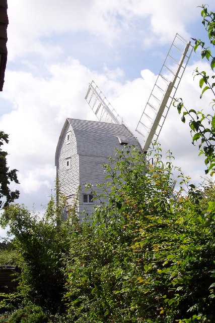
Stocks Mill, Wittersham

Stocks Mill is a Grade II* listed post mill in Wittersham on the Isle of Oxney, in Kent, England which has been preserved. == History == Probably built...

Wittersham

Wittersham is a small village and civil parish in the borough of Ashford in Kent, England. It is part of the Isle of Oxney. == History == The Domesday...
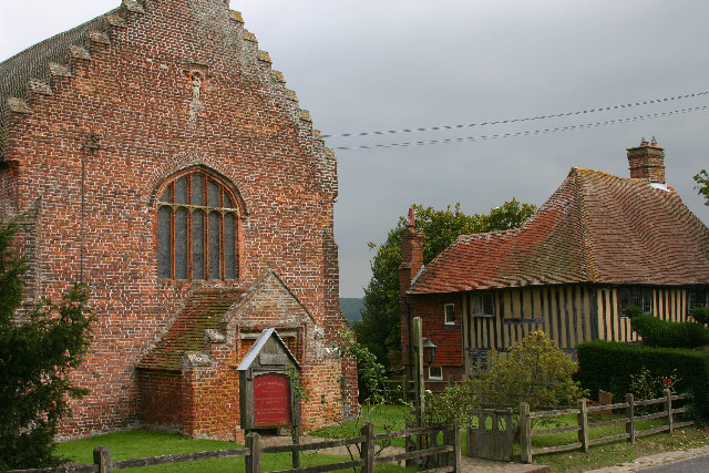
Smallhythe Place

Smallhythe Place in Small Hythe, near Tenterden in Kent, is a half-timbered house built in the late 15th or early 16th century and since 1947 cared for...

Small Hythe

Small Hythe (or Smallhythe) is a hamlet near Tenterden in Kent, England. The population is included in Tenterden. It stood on a branch of the Rother estuary...

Chapel Down

Chapel Down based in Tenterden in Kent, is an English vineyard and winemaker. It is the largest producer of English wine, with over 950 acres under vine...

Reading Street, Ashford

Reading Street is a hamlet approximately 3 miles (4.8 km) south east of Tenterden in Kent, England. It is situated on the B2080 road between Tenterden...

Isle of Oxney

Isle of Oxney is an area in Kent, England, close to the boundary with East Sussex. Up to the 13th century, the island was part of the coastline bordering...

Stone-cum-Ebony

Stone-cum-Ebony is a large mostly rural and marshland civil parish centred 7 miles (11 km) SSW of Ashford in Kent, South East England. It includes the...

Nearby Amenities

Located within 500m of 51.026382,0.71919884
Man Made: utility_pole
Lat/Long: 51.0251044/0.7253771
Colour: grey;white;yellow
Marker: aerial;post
Utility: gas
Lat/Long: 51.0250958/0.7253722
Generator Method: photovoltaic
Generator Output Electricity: yes
Generator Source: solar
Generator Type: solar_photovoltaic_panel
Location: roof
Power: generator
Lat/Long: 51.0251335/0.7129405
Generator Method: photovoltaic
Generator Output Electricity: yes
Generator Source: solar
Generator Type: solar_photovoltaic_panel
Location: roof
Power: generator
Lat/Long: 51.0252154/0.713025
The data included in this document is from www.openstreetmap.org. The data is made available under ODbL.

Have you been to Rushgreen Wood?

Leave your review of Rushgreen Wood below (or comments, questions and feedback).