Liston Gardens

Downs, Moorland in Essex Braintree

England

Liston Gardens

Glemsford: nearing New Cut The footpath is part of a dense network at the southern end of this large Suffolk village.
Glemsford: nearing New Cut Credit: John Sutton

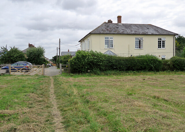
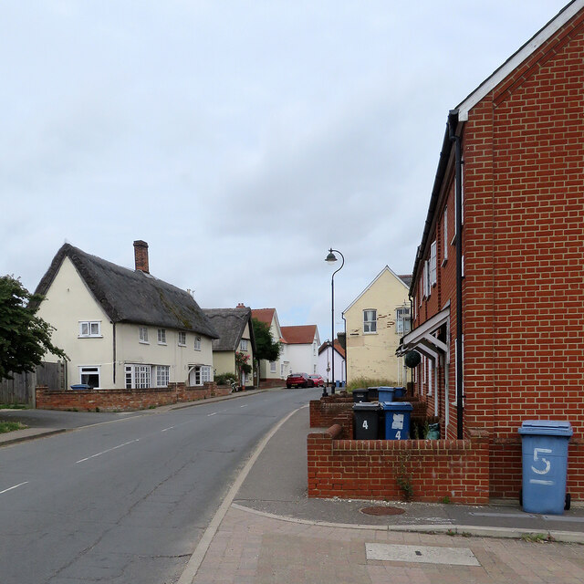
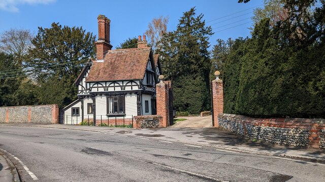
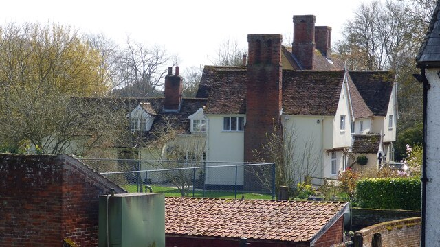
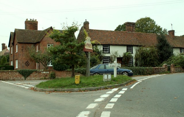
Liston Gardens is a picturesque and enchanting nature reserve located in Essex, England. Spanning over vast acres of land, the gardens are known for their diverse landscape, including downs and moorland. With its serene ambiance and breathtaking beauty, Liston Gardens have become a popular destination for nature enthusiasts and those seeking tranquility.

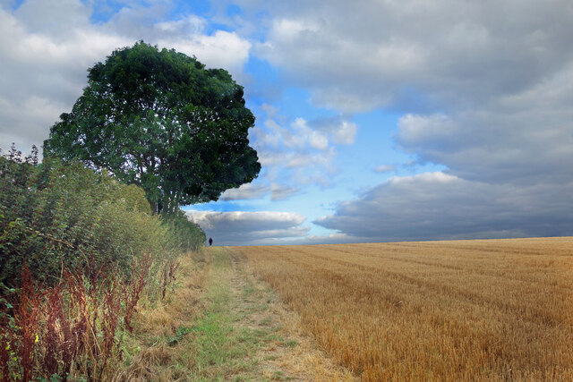
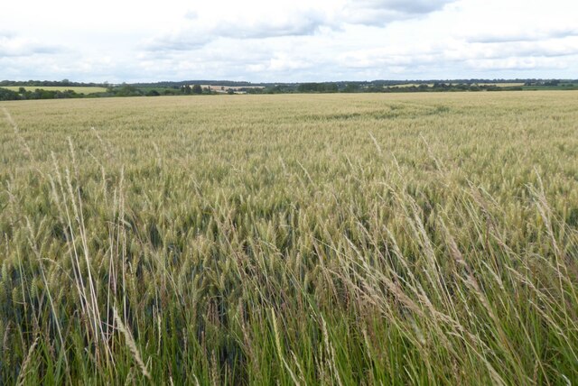
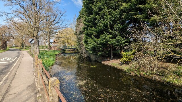
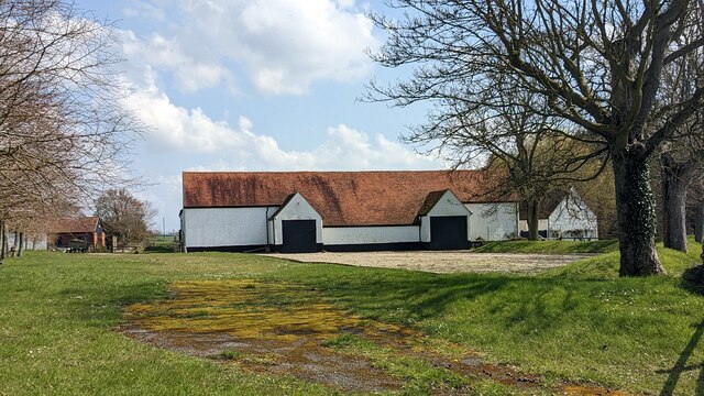
The downs in Liston Gardens are a sight to behold, characterized by their gently rolling hills and lush greenery. These open grasslands provide a haven for a variety of flora and fauna, including wildflowers, butterflies, and small mammals. Visitors can enjoy leisurely walks or picnics on the downs while taking in the panoramic views of the surrounding countryside.

Nestled within the gardens, the moorland offers a unique and distinct ecosystem. The moors are characterized by their damp and acidic soil, which is home to heather, gorse, and numerous species of moss. The area is a haven for birdwatchers, as it provides nesting grounds for various species, including skylarks and stonechats. The moorland also boasts scenic walking trails that wind through its rugged terrain, offering visitors a chance to explore and immerse themselves in the natural beauty of the area.

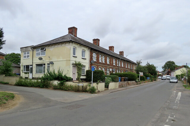
Liston Gardens also feature several well-maintained paths and trails, making it accessible to all visitors. Information boards and signs are strategically placed throughout the gardens, providing educational insights into the local flora and fauna.

With its combination of downs and moorland, Liston Gardens in Essex offer a captivating and immersive experience for nature lovers. Whether it's enjoying a leisurely stroll, embarking on a birdwatching adventure, or simply basking in the tranquility of the surroundings, Liston Gardens are a must-visit destination for those seeking a connection with nature.

If you have any feedback on the listing, please let us know in the comments section below.

Liston Gardens Images

Images are sourced within 2km of 52.080644/0.68599018 or Grid Reference TL8445. Thanks to Geograph Open Source API. All images are credited.

Glemsford: nearing New Cut The footpath is part of a dense network at the southern end of this large Suffolk village.
Glemsford: nearing New Cut
The footpath is part of a dense network at the southern end of this large Suffolk village.
Glemsford: Egremont Street and New Cut In the 19th and 20th centuries Glemsford was a centre for linen, silk, coconut matting and horsehair manufacture, and among the many picturesque and sometimes very old timber-framed houses there is a good number of Victorian terraces such as this one.
Glemsford: Egremont Street and New Cut
In the 19th and 20th centuries Glemsford was a centre for linen, silk, coconut matting and horsehair manufacture, and among the many picturesque and sometimes very old timber-framed houses there is a good number of Victorian terraces such as this one.
Glemsford: up New Cut In the 19th and 20th centuries Glemsford was a centre for linen, silk, coconut matting and horsehair manufacture, and among the many picturesque and sometimes very old timber-framed houses there is a good number of Victorian terraces such as this one.
Glemsford: up New Cut
In the 19th and 20th centuries Glemsford was a centre for linen, silk, coconut matting and horsehair manufacture, and among the many picturesque and sometimes very old timber-framed houses there is a good number of Victorian terraces such as this one.
Glemsford: up Egremont Street The houses are of various ages, styles and materials. The thatched row in the middle distance dates from the eighteenth century and is Grade II listed.
Glemsford: up Egremont Street
The houses are of various ages, styles and materials. The thatched row in the middle distance dates from the eighteenth century and is Grade II listed.
Glemsford: notable owners Blue plaques on the large timber-framed house commemorate two previous owners, Nigel Balchin (1908-70), a once-popular novelist and screenwriter, and before him Laughlan Rose (1867-1949) of the lime juice family, who retired here from the family's estate in Dominica. The Grade II listed house dates from the 16th or 17th century.

For more about the origin of Rose's Lime Juice, try <span class="nowrap"><a title="http://www.leithlocalhistorysociety.org.uk/businesses/roses_lime_juice.htm" rel="nofollow ugc noopener" href="http://www.leithlocalhistorysociety.org.uk/businesses/roses_lime_juice.htm">Link</a><img style="margin-left:2px;" alt="External link" title="External link - shift click to open in new window" src="https://s1.geograph.org.uk/img/external.png" width="10" height="10"/></span> .
Glemsford: notable owners
Blue plaques on the large timber-framed house commemorate two previous owners, Nigel Balchin (1908-70), a once-popular novelist and screenwriter, and before him Laughlan Rose (1867-1949) of the lime juice family, who retired here from the family's estate in Dominica. The Grade II listed house dates from the 16th or 17th century. For more about the origin of Rose's Lime Juice, try LinkExternal link .
Glemsford: old and new on Egremont Street The thatched timber-framed houses on the left date from the 17th or 18th century and are Grade II listed.
Glemsford: old and new on Egremont Street
The thatched timber-framed houses on the left date from the 17th or 18th century and are Grade II listed.
Wetland area at Parsonage Farm A roughly circular patch of woodland and water channels near the farm. Not marked as such on the map, but perhaps these were old fish ponds. There is a medieval moated site a short distance away.
Wetland area at Parsonage Farm
A roughly circular patch of woodland and water channels near the farm. Not marked as such on the map, but perhaps these were old fish ponds. There is a medieval moated site a short distance away.
Clouds, Stubble and a Heap A very random picture of farmland near Long Melford, taken just before those clouds put an end to the sunshine.
Clouds, Stubble and a Heap
A very random picture of farmland near Long Melford, taken just before those clouds put an end to the sunshine.
Path up Cranmore Hill Public footpath up the gently sloping east side of the River Glem valley.
Path up Cranmore Hill
Public footpath up the gently sloping east side of the River Glem valley.
Glemsford: Willow Farm Shop car park A fullish car park on a Wednesday morning is evidence of the popularity of the shop and café (where there are splendid cinnamon buns).
Glemsford: Willow Farm Shop car park
A fullish car park on a Wednesday morning is evidence of the popularity of the shop and café (where there are splendid cinnamon buns).
A wheat field near Constable's Farm A wheat field near Constable's Farm, near Foxearth.
A wheat field near Constable's Farm
A wheat field near Constable's Farm, near Foxearth.
Rectory Lodge, Foxearth <span class="nowrap"><a title="https://historicengland.org.uk/listing/the-list/list-entry/1216757?section=official-list-entry" rel="nofollow ugc noopener" href="https://historicengland.org.uk/listing/the-list/list-entry/1216757?section=official-list-entry">Link</a><img style="margin-left:2px;" alt="External link" title="External link - shift click to open in new window" src="https://s1.geograph.org.uk/img/external.png" width="10" height="10"/></span>
Rectory Lodge, Foxearth
Church of Saint Peter and Saint Paul, Foxearth <span class="nowrap"><a title="https://historicengland.org.uk/listing/the-list/list-entry/1216708?section=official-list-entry" rel="nofollow ugc noopener" href="https://historicengland.org.uk/listing/the-list/list-entry/1216708?section=official-list-entry">Link</a><img style="margin-left:2px;" alt="External link" title="External link - shift click to open in new window" src="https://s1.geograph.org.uk/img/external.png" width="10" height="10"/></span>
Church of Saint Peter and Saint Paul, Foxearth
Interior of Church of Saint Peter and Saint Paul, Foxearth <span class="nowrap"><a title="https://historicengland.org.uk/listing/the-list/list-entry/1216708?section=official-list-entry" rel="nofollow ugc noopener" href="https://historicengland.org.uk/listing/the-list/list-entry/1216708?section=official-list-entry">Link</a><img style="margin-left:2px;" alt="External link" title="External link - shift click to open in new window" src="https://s1.geograph.org.uk/img/external.png" width="10" height="10"/></span>
Interior of Church of Saint Peter and Saint Paul, Foxearth
Foxearth Hall Moated Site <span class="nowrap"><a title="https://historicengland.org.uk/listing/the-list/list-entry/1338318?section=official-list-entry" rel="nofollow ugc noopener" href="https://historicengland.org.uk/listing/the-list/list-entry/1338318?section=official-list-entry">Link</a><img style="margin-left:2px;" alt="External link" title="External link - shift click to open in new window" src="https://s1.geograph.org.uk/img/external.png" width="10" height="10"/></span>
Foxearth Hall Moated Site
Tombstone to Maria Aged 7 years, Foxearth Churchyard <span class="nowrap"><a title="https://historicengland.org.uk/listing/the-list/list-entry/1275754?section=official-list-entry" rel="nofollow ugc noopener" href="https://historicengland.org.uk/listing/the-list/list-entry/1275754?section=official-list-entry">Link</a><img style="margin-left:2px;" alt="External link" title="External link - shift click to open in new window" src="https://s1.geograph.org.uk/img/external.png" width="10" height="10"/></span>
Tombstone to Maria Aged 7 years, Foxearth Churchyard
Foxearth Hall <span class="nowrap"><a title="https://historicengland.org.uk/listing/the-list/list-entry/1338318?section=official-list-entry" rel="nofollow ugc noopener" href="https://historicengland.org.uk/listing/the-list/list-entry/1338318?section=official-list-entry">Link</a><img style="margin-left:2px;" alt="External link" title="External link - shift click to open in new window" src="https://s1.geograph.org.uk/img/external.png" width="10" height="10"/></span>
Foxearth Hall
Foxearth Hall Large Barn <span class="nowrap"><a title="https://historicengland.org.uk/listing/the-list/list-entry/1338319?section=official-list-entry" rel="nofollow ugc noopener" href="https://historicengland.org.uk/listing/the-list/list-entry/1338319?section=official-list-entry">Link</a><img style="margin-left:2px;" alt="External link" title="External link - shift click to open in new window" src="https://s1.geograph.org.uk/img/external.png" width="10" height="10"/></span>
Foxearth Hall Large Barn
Show me another place!

Liston Gardens is located at Grid Ref: TL8445 (Lat: 52.080644, Lng: 0.68599018)

Administrative County: Essex

District: Braintree

Police Authority: Essex

What 3 Words

///marine.culminate.cashew. Near Long Melford, Suffolk

Related Wikis

Glemsford Pits

Glemsford Pits is a 37.5-hectare (93-acre) biological Site of Special Scientific Interest south of Glemsford in Suffolk. The River Stour, which forms the...

Glemsford railway station

Glemsford railway station was a station that served the village of Glemsford in Suffolk, England. It opened in 1865 on the Stour Valley Railway between...

Foxearth

Foxearth is a village and civil parish on the borders of north Essex and Suffolk in England, between Long Melford and Cavendish. The neighbouring parishes...

Liston, Essex

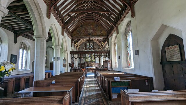
Liston is a small village and civil parish in North Essex, England, located one mile WSW of Long Melford, on the banks of the River Stour. Its parish church...

Long Melford F.C.

Long Melford Football Club is a football club based in Long Melford, Suffolk, England. Affiliated to the Suffolk County FA, they are currently members...

Stanstead, Suffolk

Stanstead is a village and civil parish in Suffolk, England. The name Stanstead comes from the Old English for "Stony place". Located off the B1066, it...

Long Melford

Long Melford, colloquially and historically also referred to as Melford, is a large village and civil parish in the Babergh district, in the county of...

Long Melford railway station

Long Melford railway station is a disused station that served the village of Long Melford in Suffolk, England. It opened in 1865 as "Melford" and was renamed...

Nearby Amenities

Located within 500m of 52.080644,0.68599018
Power: pole
Lat/Long: 52.0819307/0.6914816
Power: pole
Lat/Long: 52.0819373/0.6915835
Power: pole
Lat/Long: 52.0827531/0.6871607
Power: pole
Lat/Long: 52.0832757/0.6867877
Power: pole
Lat/Long: 52.0840751/0.6834242
Power: pole
Lat/Long: 52.0831981/0.6853958
Power: pole
Lat/Long: 52.0836993/0.690221
Power: pole
Lat/Long: 52.0839317/0.6890488
Power: pole
Lat/Long: 52.0816322/0.6916132
Power: pole
Lat/Long: 52.0836432/0.6835665
Power: pole
Lat/Long: 52.0809961/0.6911785
Power: pole
Lat/Long: 52.0836778/0.6850818
Power: pole
Lat/Long: 52.0798818/0.690575
Power: pole
Lat/Long: 52.0834834/0.6913421
Power: pole
Lat/Long: 52.0843569/0.6884051
Power: pole
Lat/Long: 52.0837355/0.6811686
Power: pole
Lat/Long: 52.0820938/0.6897034
Power: pole
Lat/Long: 52.0825142/0.6899742
Power: pole
Lat/Long: 52.0810093/0.6910685
Power: pole
Lat/Long: 52.0798669/0.690685
Power: pole
Lat/Long: 52.0840429/0.6835587
The data included in this document is from www.openstreetmap.org. The data is made available under ODbL.

Have you been to Liston Gardens?

Leave your review of Liston Gardens below (or comments, questions and feedback).