Liston
Civil Parish in Essex Braintree
England
Liston
Liston is a civil parish located in the county of Essex, in the eastern part of England. It is situated near the town of Long Melford and is part of the Babergh district. The parish covers an area of approximately 2.5 square kilometers and has a population of around 100 residents.
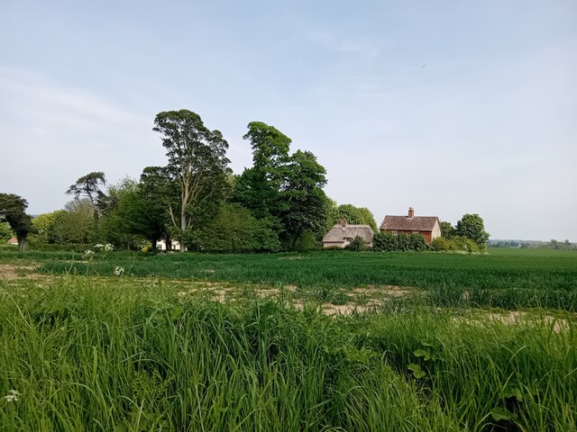
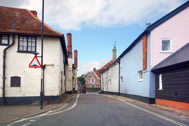
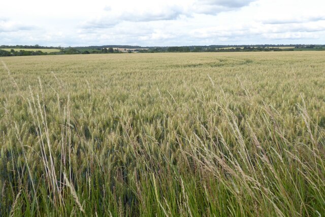
Liston is a rural area characterized by its picturesque countryside and tranquil atmosphere. It is known for its beautiful landscapes and charming village setting. The parish is primarily made up of agricultural land, with fields and meadows dominating the scenery. The River Stour, a major waterway in the region, also passes through the area, adding to the natural beauty of the surroundings.
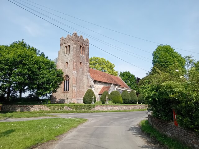
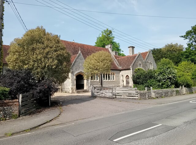
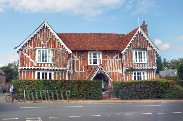
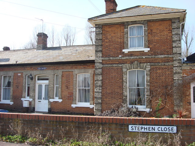
The village of Liston itself is small but has a rich history. It boasts a number of historic buildings, including a 14th-century church called St. Liston's Church, which is a Grade I listed building. The church features stunning architecture and serves as a reminder of the area's long-standing heritage.
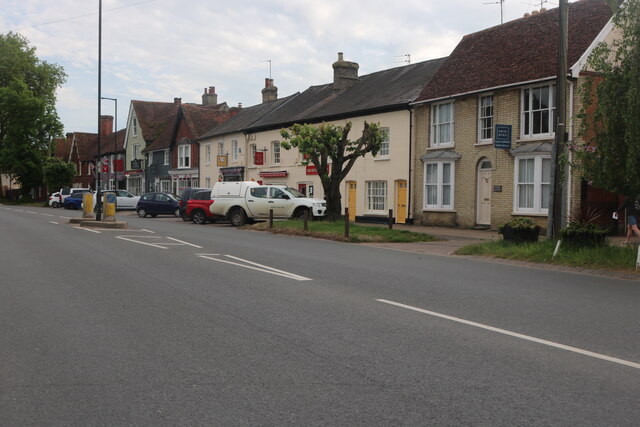
Liston is a popular destination for outdoor enthusiasts, offering ample opportunities for walking, cycling, and exploring the countryside. The parish is also conveniently located near several attractions, including the historic town of Sudbury and the famous Kentwell Hall, a Tudor mansion that hosts various events throughout the year.
In summary, Liston is a peaceful and idyllic civil parish in Essex, known for its rural charm, historic buildings, and natural beauty.
If you have any feedback on the listing, please let us know in the comments section below.
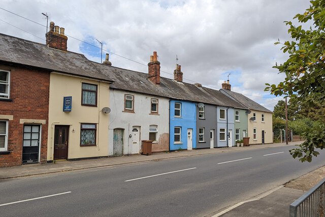
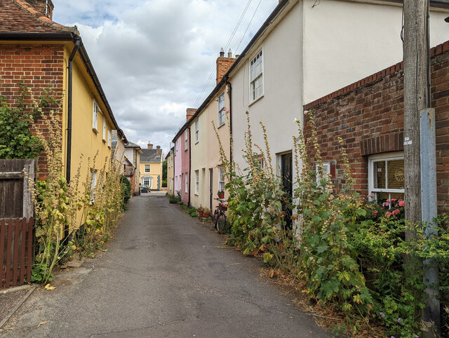
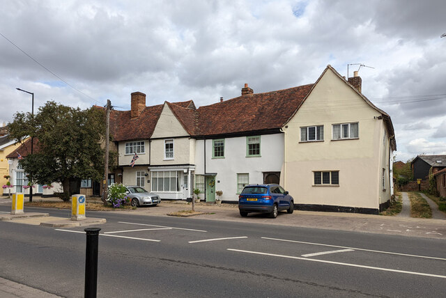
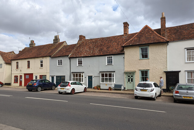
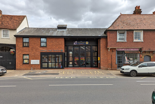
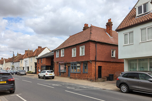
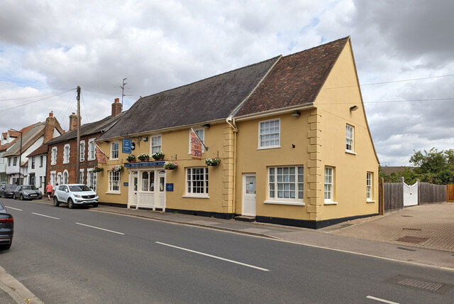
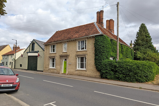
Liston Images
Images are sourced within 2km of 52.072766/0.696709 or Grid Reference TL8445. Thanks to Geograph Open Source API. All images are credited.


Liston is located at Grid Ref: TL8445 (Lat: 52.072766, Lng: 0.696709)
Administrative County: Essex
District: Braintree
Police Authority: Essex
What 3 Words
///prancing.admiringly.scratches. Near Long Melford, Suffolk
Nearby Locations
Related Wikis

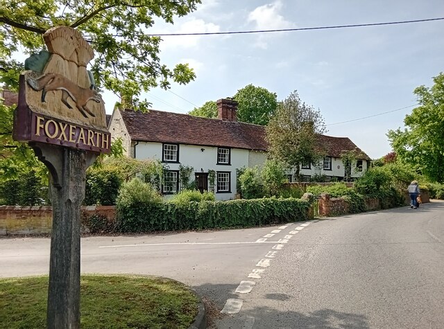
Liston, Essex
Liston is a small village and civil parish in North Essex, England, located one mile WSW of Long Melford, on the banks of the River Stour. Its parish church...

Long Melford F.C.
Long Melford Football Club is a football club based in Long Melford, Suffolk, England. Affiliated to the Suffolk County FA, they are currently members...
Long Melford railway station
Long Melford railway station is a disused station that served the village of Long Melford in Suffolk, England. It opened in 1865 as "Melford" and was renamed...

Glemsford Pits
Glemsford Pits is a 37.5-hectare (93-acre) biological Site of Special Scientific Interest south of Glemsford in Suffolk. The River Stour, which forms the...
Nearby Amenities
Located within 500m of 52.072766,0.696709Have you been to Liston?
Leave your review of Liston below (or comments, questions and feedback).