Kember Warren
Downs, Moorland in Kent Tunbridge Wells
England
Kember Warren
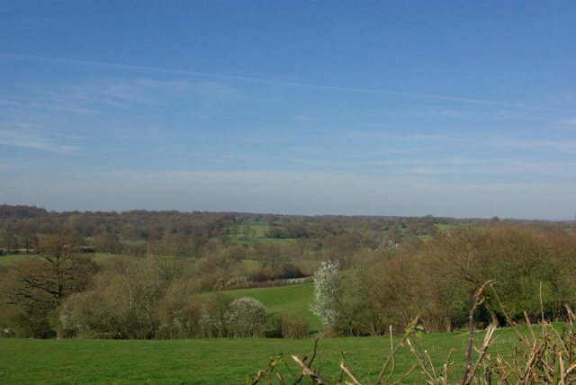
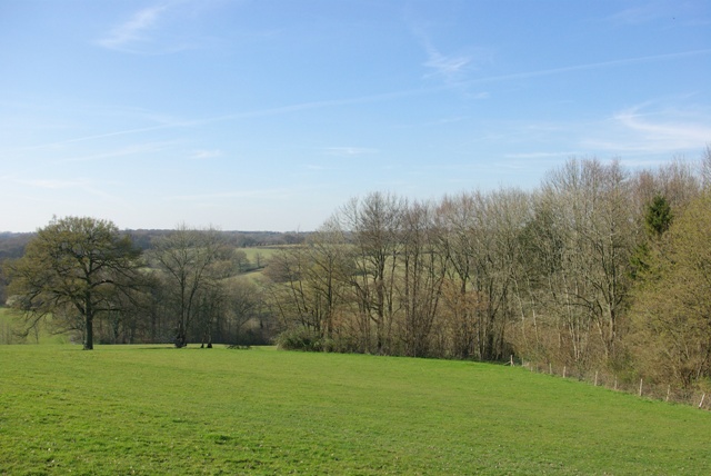
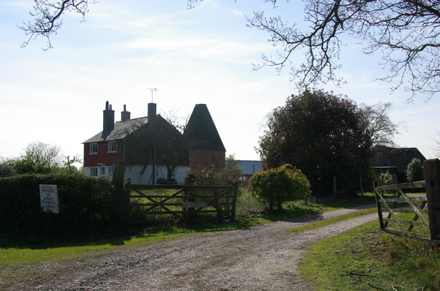
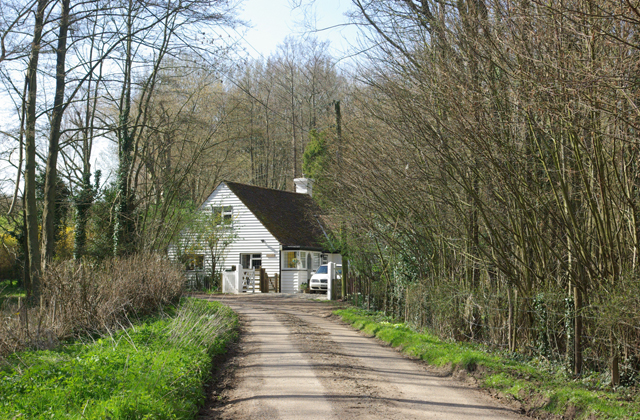
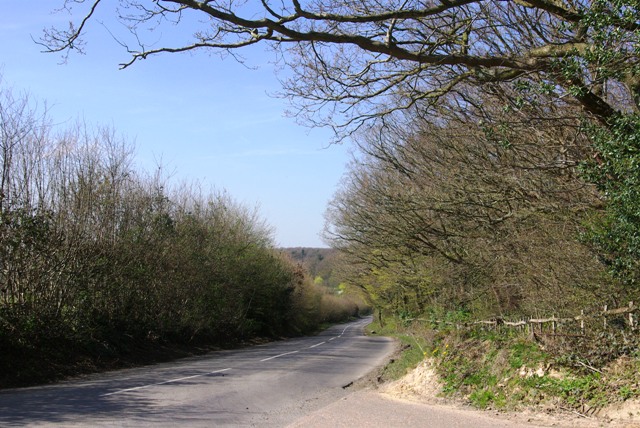
Kember Warren, Kent, also known as Downs Moorland, is a picturesque region situated in the county of Kent, England. This area is renowned for its stunning natural beauty, encompassing vast stretches of rolling hills, meadows, and woodlands. The landscape is characterized by its rich biodiversity and offers a tranquil escape for nature lovers and outdoor enthusiasts alike.
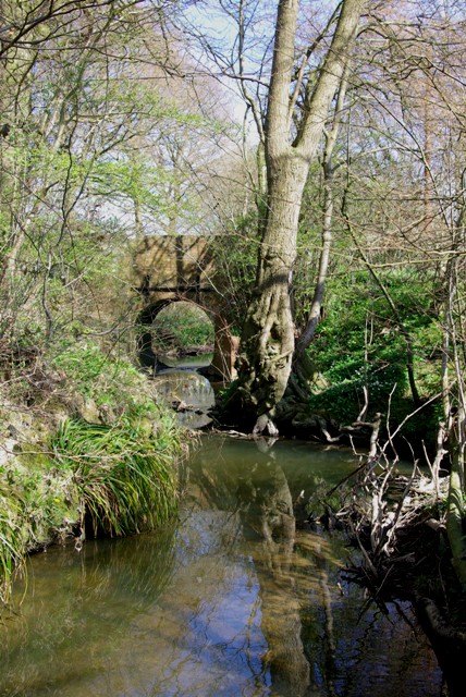
The region is home to a wide variety of wildlife, including rare species of birds, mammals, and plants. Kember Warren is particularly famous for its vibrant heather moorlands, which transform the landscape into a sea of purple during the flowering season. This stunning display attracts visitors from far and wide, who come to witness the beauty of nature in all its glory.
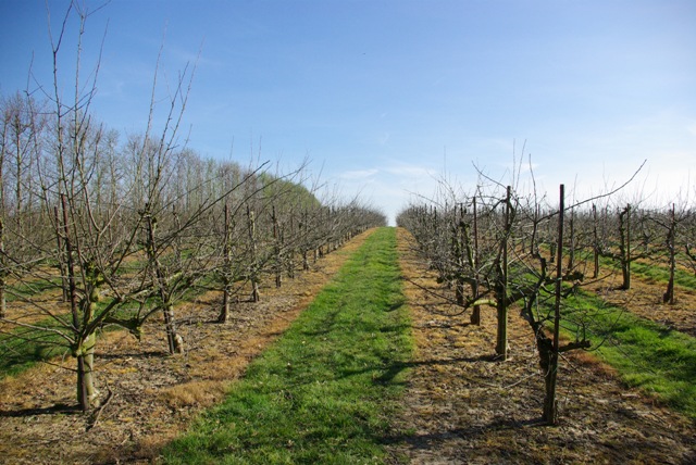
The area also boasts several walking and cycling trails, making it an ideal destination for those looking to explore the outdoors. These paths meander through the countryside, offering breathtaking views of the surrounding countryside and opportunities to encounter wildlife up close. Additionally, Kember Warren is also a popular spot for horse riding, with many riders taking advantage of the beautiful trails and open spaces.
In terms of amenities, the region offers a range of facilities to cater to visitors. There are several quaint villages nearby that provide accommodation options, as well as charming pubs and restaurants where visitors can sample local cuisine and relax after a day of exploring.
Overall, Kember Warren, Kent (Downs Moorland) provides a serene and captivating experience for nature enthusiasts, offering a harmonious blend of natural beauty, wildlife, and outdoor activities.
If you have any feedback on the listing, please let us know in the comments section below.
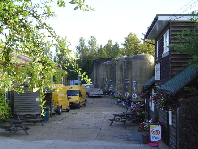
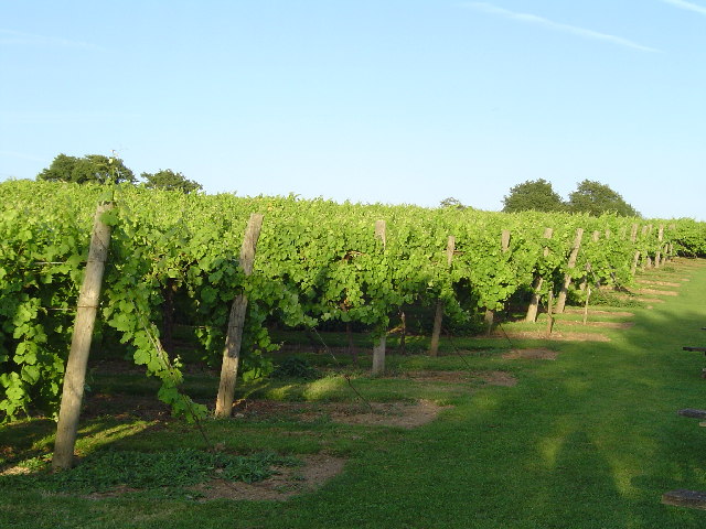
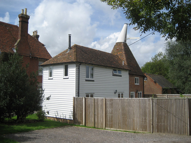
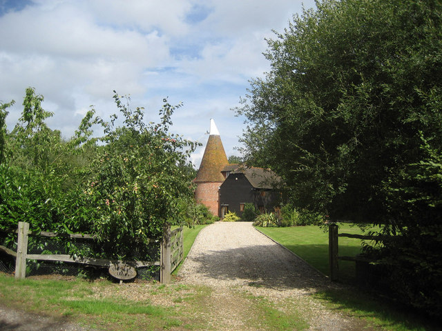
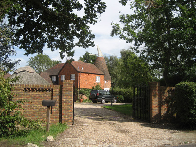
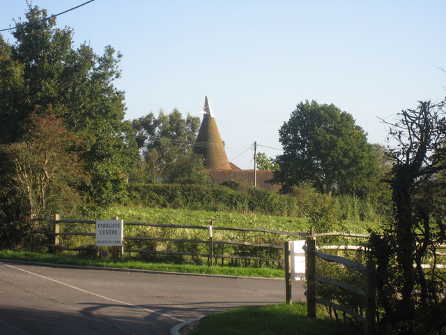
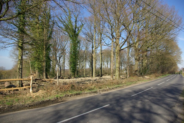
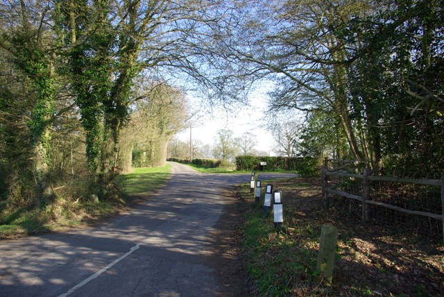
Kember Warren Images
Images are sourced within 2km of 51.082567/0.62366585 or Grid Reference TQ8334. Thanks to Geograph Open Source API. All images are credited.


Kember Warren is located at Grid Ref: TQ8334 (Lat: 51.082567, Lng: 0.62366585)
Administrative County: Kent
District: Tunbridge Wells
Police Authority: Kent
What 3 Words
///typhoon.testy.glows. Near Biddenden, Kent
Nearby Locations
Related Wikis
Halden, Rolvenden
Halden is an historic manor in the parish of Rolvenden in Kent, England. The manor house was later known as Halden Place and is a Grade II listed building...

Hole Park
Hole Park is a privately owned country house near the village of Rolvenden, in Kent, England. It is a Grade II listed building. The gardens, first opened...
Beacon Mill, Benenden
Beacon Mill is a Grade II listed smock mill in Benenden, Kent, England which is in need of restoration. The mill has been out of use since 1923 and is...
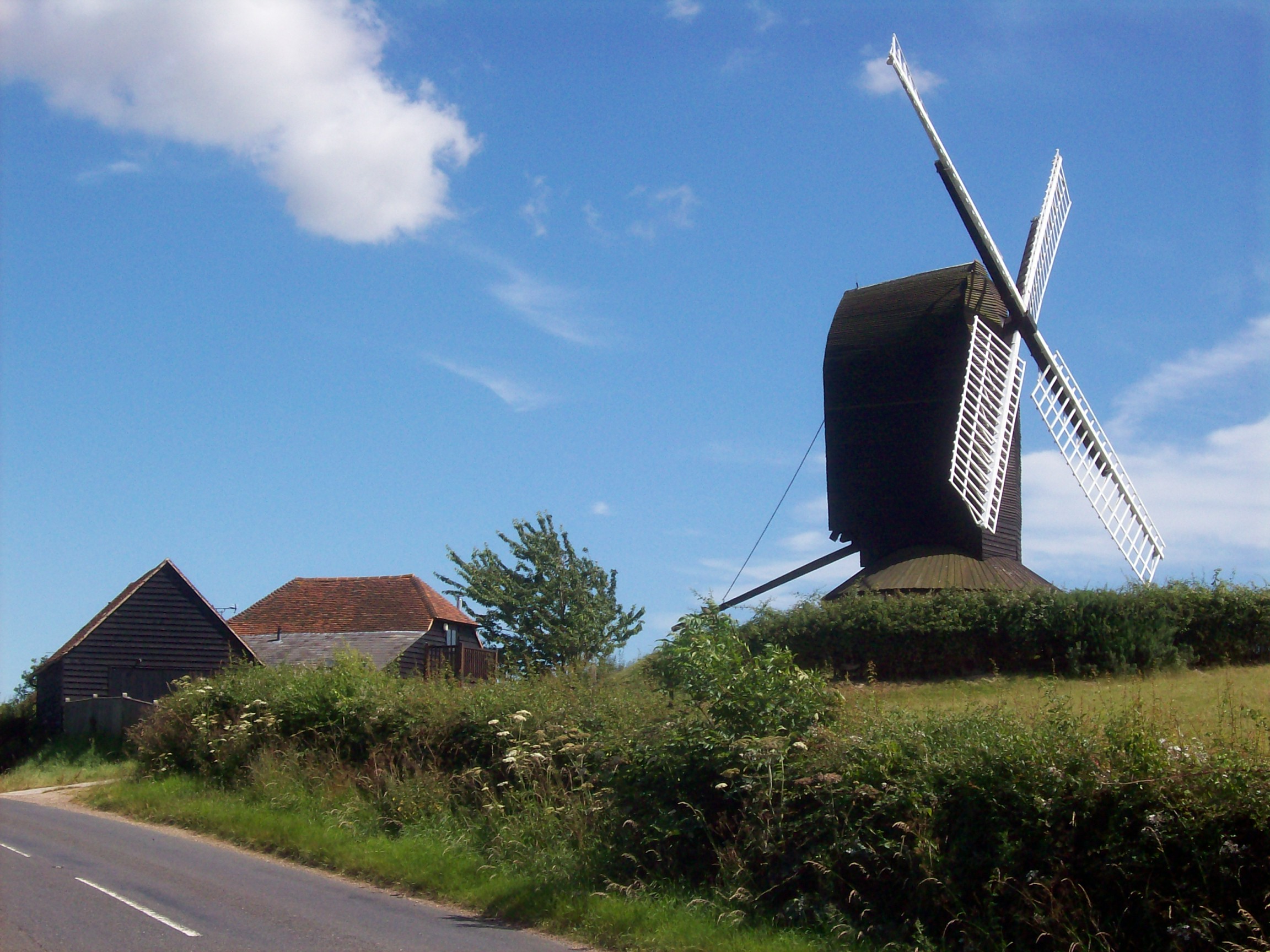
Rolvenden Windmill
Rolvenden Windmill is a grade II* listed Post mill on the B2086 road west of Rolvenden in southeast England. It is maintained as a memorial to a local...

Rolvenden railway station
Rolvenden railway station is a heritage railway station on the Kent and East Sussex Railway in Tenterden, Kent, in the United Kingdom. == Early history... ==
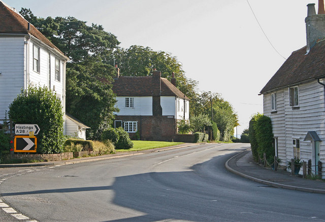
Rolvenden
Rolvenden is a village and civil parish in the Ashford District of Kent, England. The village is centred on the A28 Ashford to Hastings road, 5 miles...
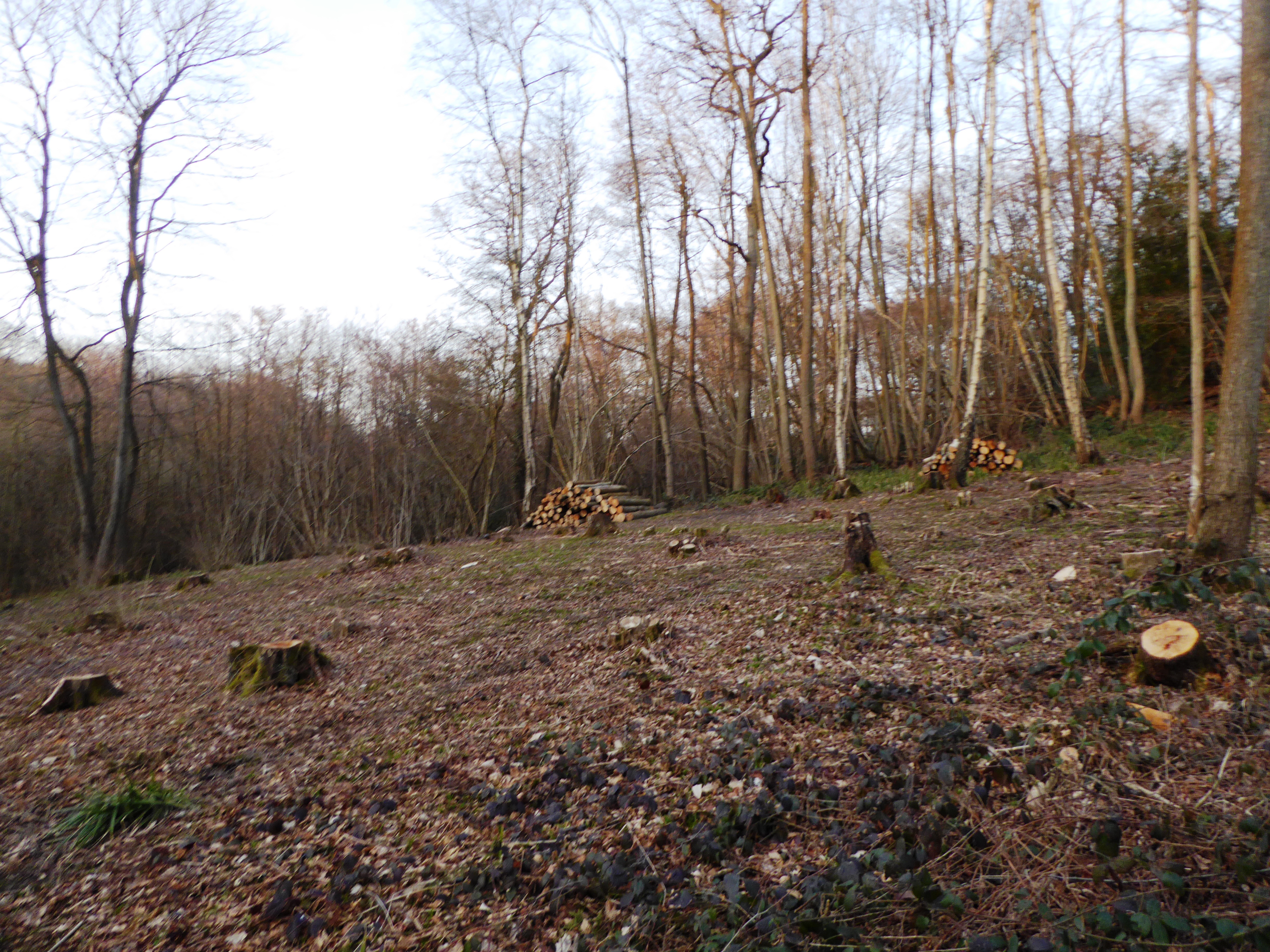
Wattle Wood
Wattle Wood is a 1-hectare (2.5-acre) nature reserve north-west of Tenterden in Kent. It is managed by Kent Wildlife Trust.This ancient coppice with standards...

Rolvenden War Memorial
Rolvenden War Memorial is a First World War memorial in the village of Rolvenden, Kent, in south-eastern England. Designed by Sir Edwin Lutyens, the memorial...
Nearby Amenities
Located within 500m of 51.082567,0.62366585Have you been to Kember Warren?
Leave your review of Kember Warren below (or comments, questions and feedback).