Grove Common
Downs, Moorland in Norfolk Breckland
England
Grove Common

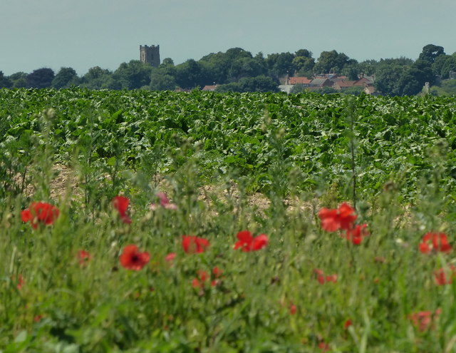
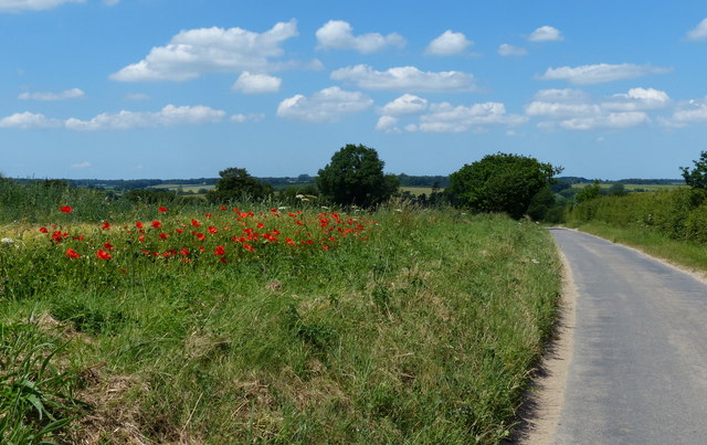
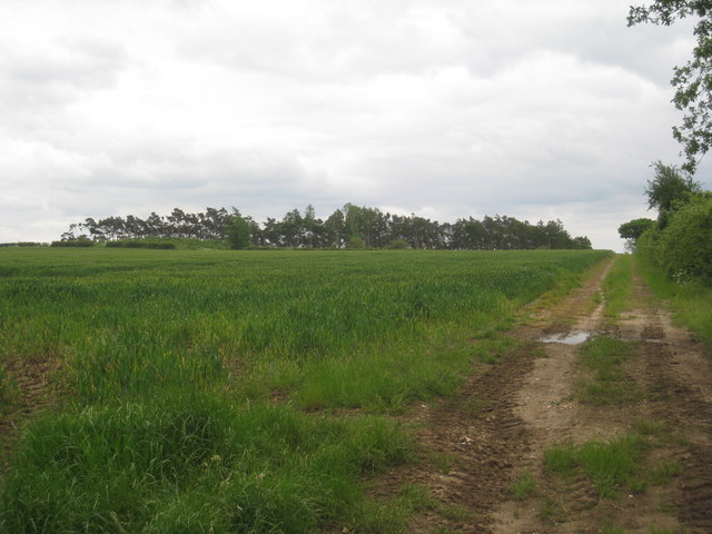
Grove Common is a picturesque area located in Norfolk, England. Nestled within the Downs and Moorland region, it offers visitors a serene and tranquil environment. The common covers a vast expanse of land, characterized by rolling hills, lush green meadows, and dense woodlands.
The area is renowned for its rich biodiversity, with a diverse range of flora and fauna calling it home. Visitors to Grove Common can expect to encounter an array of wildlife, including various bird species, small mammals, and rare insects. The diverse habitats found here, from open grasslands to marshes and heathlands, provide a haven for many species.
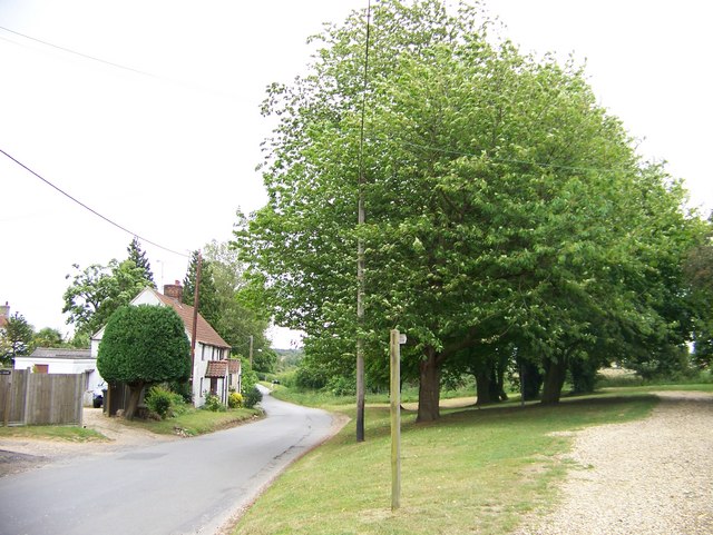
The common is a popular destination for nature lovers, hikers, and birdwatchers alike. It offers numerous walking trails that wind through the picturesque landscape, allowing visitors to explore its natural beauty. The paths are well-maintained, making them accessible to all levels of fitness.
In addition to its natural attractions, Grove Common also boasts historical significance. The area has evidence of human habitation dating back centuries, with traces of ancient settlements and burial mounds. History enthusiasts can explore these archaeological remains and delve into the area's past.
Grove Common is a peaceful retreat away from the hustle and bustle of city life. Its idyllic surroundings and abundant wildlife make it the perfect destination for those seeking a connection with nature and a chance to unwind in a serene environment.
If you have any feedback on the listing, please let us know in the comments section below.
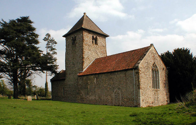
Grove Common Images
Images are sourced within 2km of 52.711257/0.71923157 or Grid Reference TF8316. Thanks to Geograph Open Source API. All images are credited.


Grove Common is located at Grid Ref: TF8316 (Lat: 52.711257, Lng: 0.71923157)
Administrative County: Norfolk
District: Breckland
Police Authority: Norfolk
What 3 Words
///inflates.paces.argued. Near Swaffham, Norfolk
Nearby Locations
Related Wikis
Newton by Castle Acre
Newton by Castle Acre is a village, Anglican parish and civil parish in the Breckland district of the English county of Norfolk. It is situated on the...

West Lexham
West Lexham is a village and former civil parish, now in the parish of Lexham, in the Breckland district, in the county of Norfolk, England. It is 5.9...
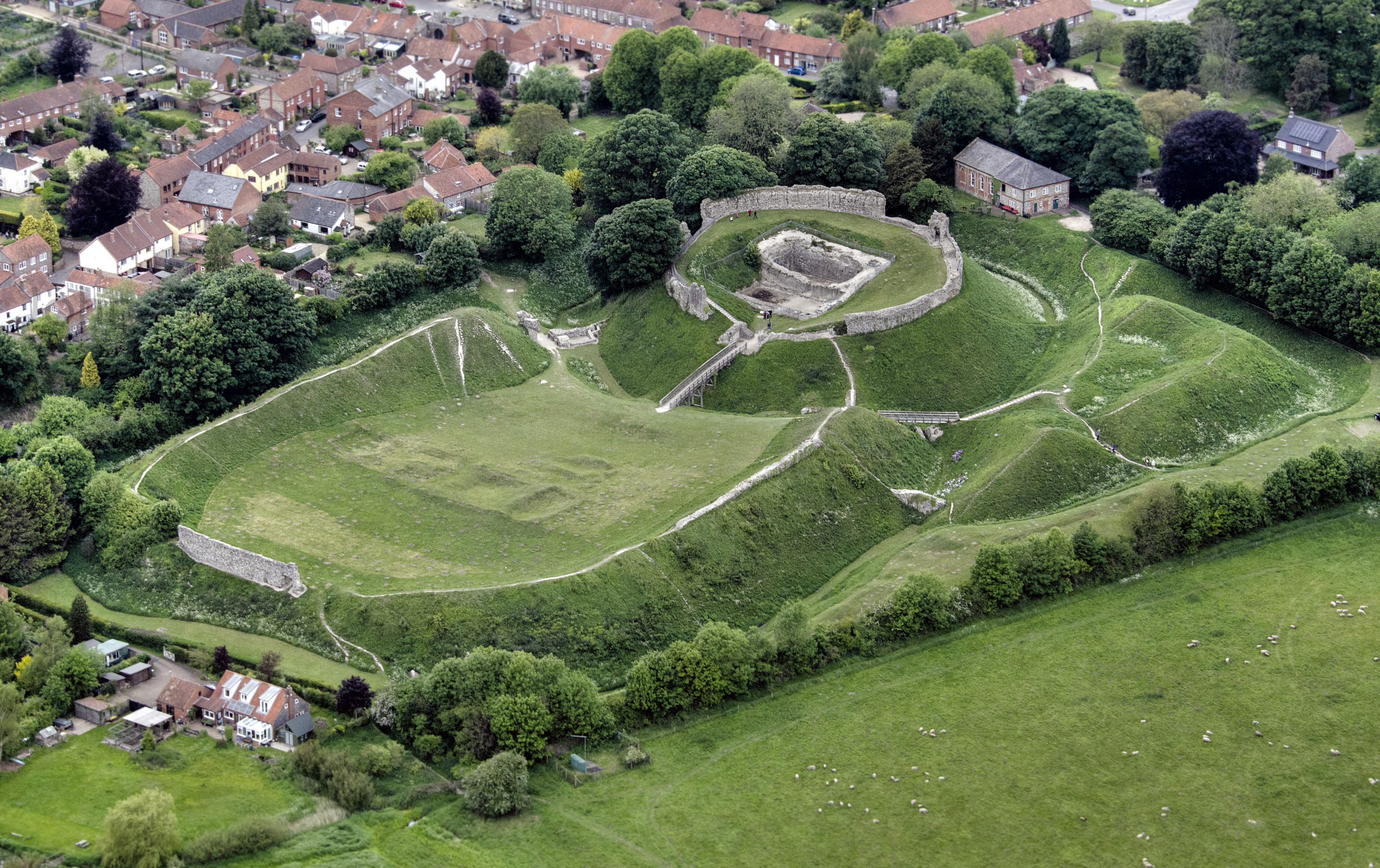
Castle Acre Castle and town walls
Castle Acre Castle and town walls are a set of ruined medieval defences built in the village of Castle Acre, Norfolk. The castle was built soon after the...

Castle Acre
Castle Acre is a village and civil parish in the English county of Norfolk. The village is situated on the River Nar some 4 miles (6.4 km) north of the...
Nearby Amenities
Located within 500m of 52.711257,0.71923157Have you been to Grove Common?
Leave your review of Grove Common below (or comments, questions and feedback).