Newton Heath
Downs, Moorland in Norfolk Breckland
England
Newton Heath
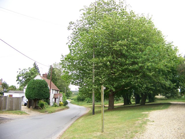
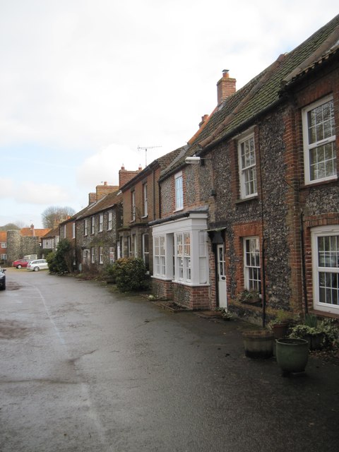
Newton Heath, Norfolk (Downs, Moorland) is a picturesque village located in the heart of Norfolk, England. Situated amidst rolling hills and verdant meadows, it offers residents and visitors a tranquil retreat from the hustle and bustle of city life.
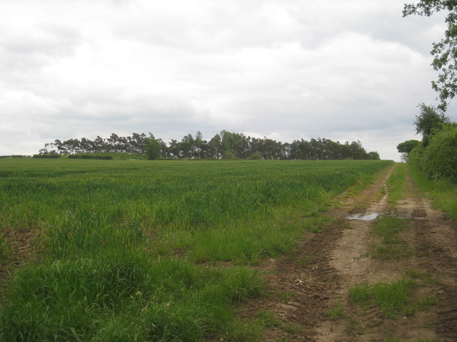
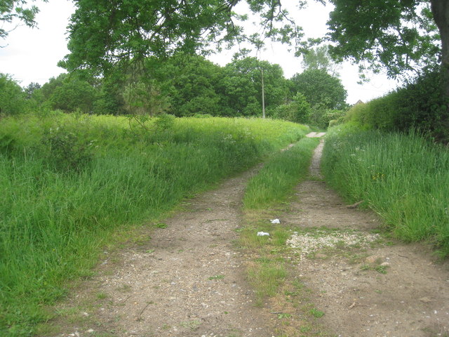
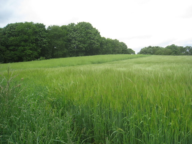
The village is renowned for its stunning natural beauty, with the surrounding downs and moorland providing a breathtaking backdrop. The lush greenery, interspersed with vibrant wildflowers, creates a captivating landscape that attracts nature enthusiasts and hikers alike.
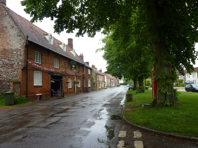
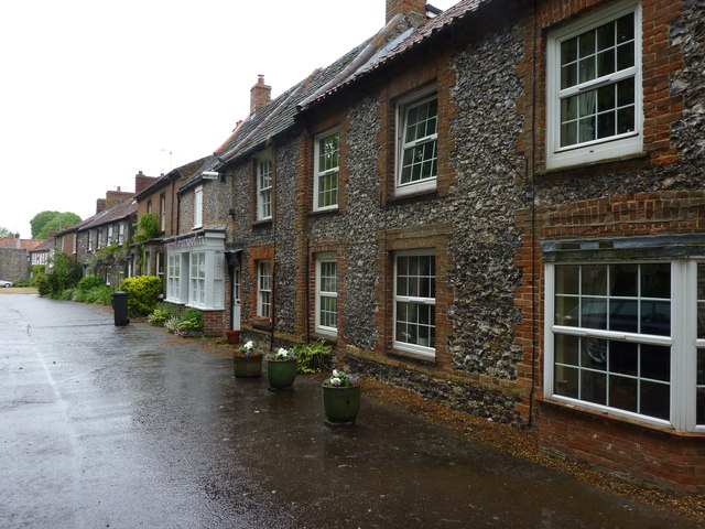
Despite its rural setting, Newton Heath is conveniently located near several amenities. The village is home to a charming local pub, where locals gather to enjoy a pint and engage in lively conversation. There is also a small convenience store that caters to the daily needs of the community.
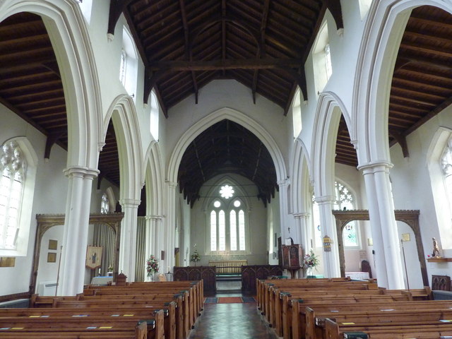
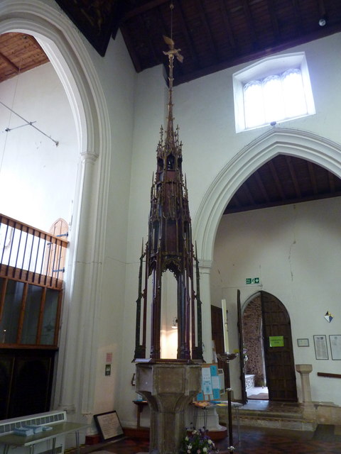
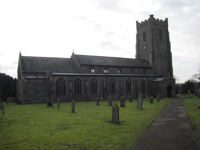
The village is steeped in history, with several historic landmarks scattered throughout the area. One notable attraction is the 13th-century St. Mary's Church, which showcases stunning architecture and holds great cultural significance. Visitors can explore the ancient churchyard, which is the final resting place of many notable figures from the village's past.
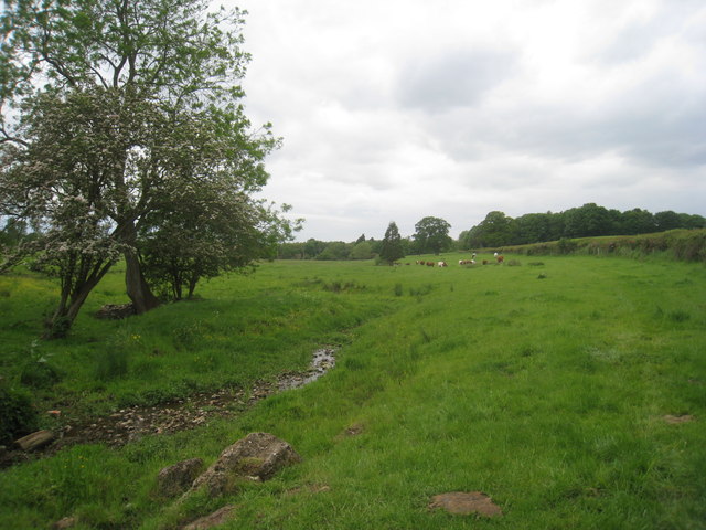
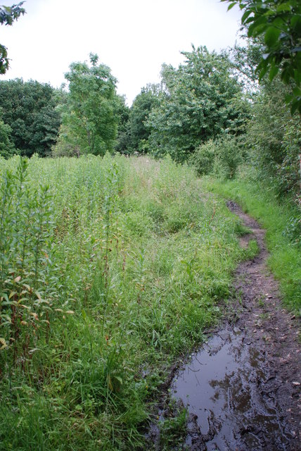
For those seeking outdoor activities, Newton Heath offers ample opportunities. The downs and moorland surrounding the village provide idyllic settings for leisurely walks, picnics, and birdwatching. The area is also a haven for wildlife, with various species of birds, deer, and other animals calling it home.
In conclusion, Newton Heath, Norfolk (Downs, Moorland) is a charming village that encapsulates the natural beauty and rich history of the region. Whether it's exploring historic landmarks or immersing oneself in the stunning countryside, this village offers a peaceful retreat for all who visit.
If you have any feedback on the listing, please let us know in the comments section below.
Newton Heath Images
Images are sourced within 2km of 52.712193/0.70976919 or Grid Reference TF8316. Thanks to Geograph Open Source API. All images are credited.


Newton Heath is located at Grid Ref: TF8316 (Lat: 52.712193, Lng: 0.70976919)
Administrative County: Norfolk
District: Breckland
Police Authority: Norfolk
What 3 Words
///petulant.yarn.politics. Near Swaffham, Norfolk
Nearby Locations
Related Wikis
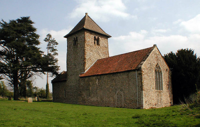
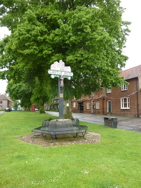
Newton by Castle Acre
Newton by Castle Acre is a village, Anglican parish and civil parish in the Breckland district of the English county of Norfolk. It is situated on the...

West Lexham
West Lexham is a village and former civil parish, now in the parish of Lexham, in the Breckland district, in the county of Norfolk, England. It is 5.9...
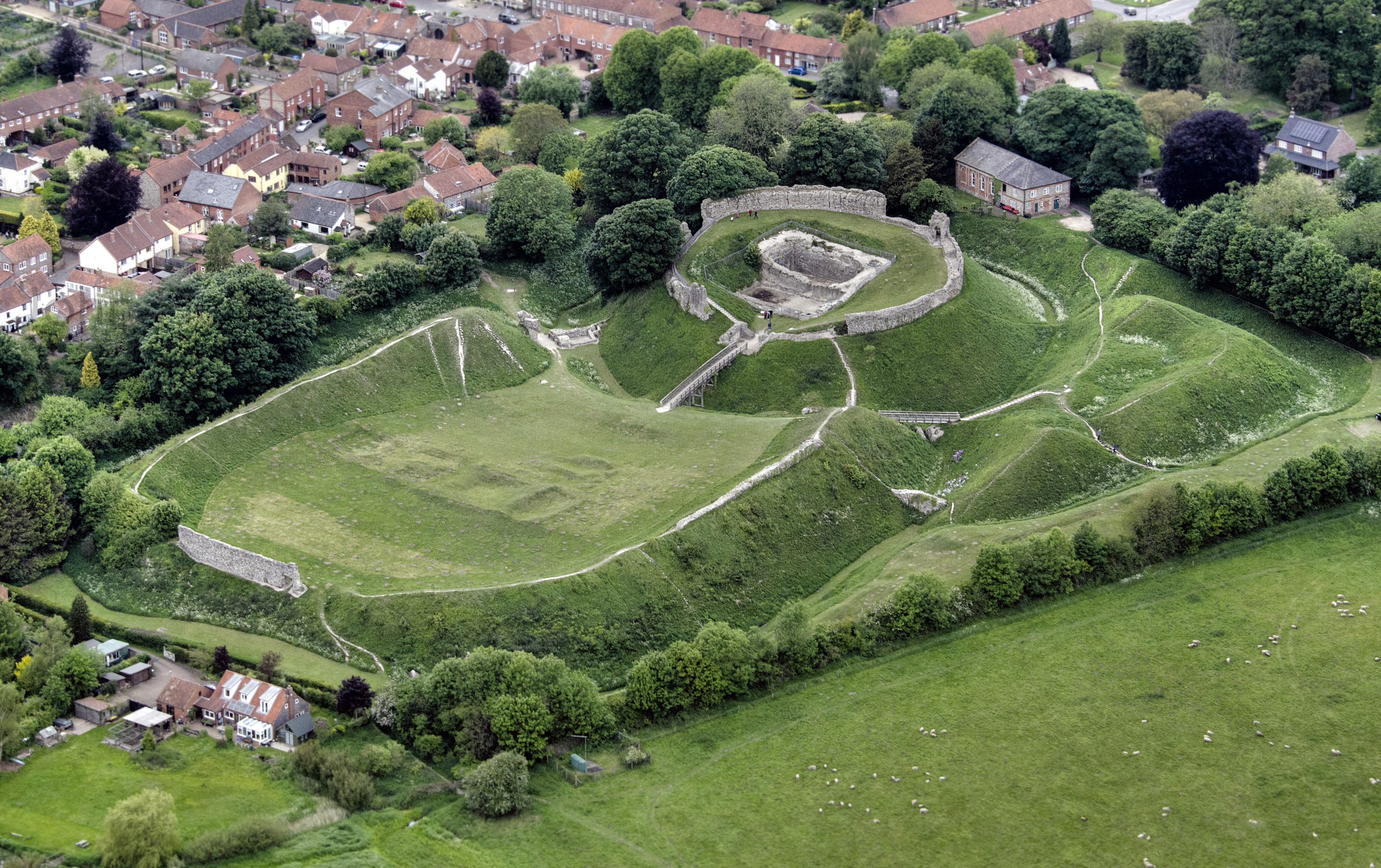
Castle Acre Castle and town walls
Castle Acre Castle and town walls are a set of ruined medieval defences built in the village of Castle Acre, Norfolk. The castle was built soon after the...

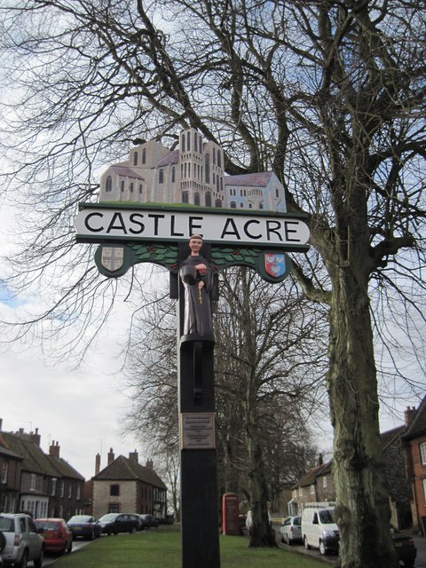
Castle Acre
Castle Acre is a village and civil parish in the English county of Norfolk. The village is situated on the River Nar some 4 miles (6.4 km) north of the...
Nearby Amenities
Located within 500m of 52.712193,0.70976919Have you been to Newton Heath?
Leave your review of Newton Heath below (or comments, questions and feedback).