Emanuel's Common
Downs, Moorland in Norfolk King's Lynn and West Norfolk
England
Emanuel's Common
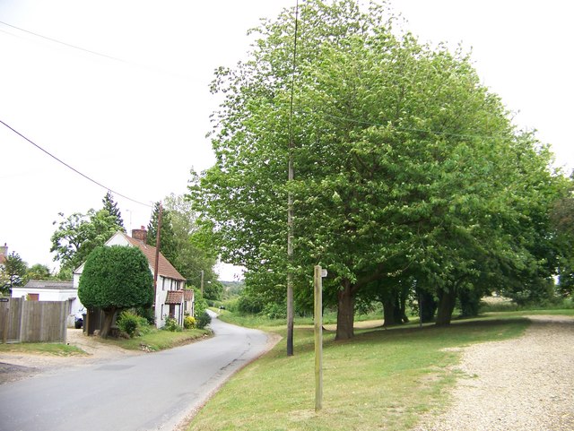
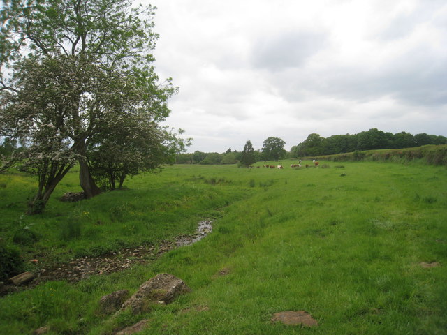
Emanuel's Common, Norfolk, is a picturesque and idyllic area located in the eastern part of England. Situated on the Norfolk Downs, the region is characterized by its beautiful landscapes, rolling hills, and vast moorlands. The area is renowned for its natural beauty and is a popular destination for nature enthusiasts and hikers.
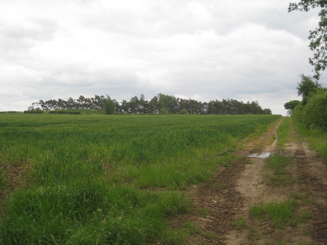
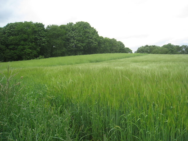
Emanuel's Common offers visitors a unique opportunity to immerse themselves in the tranquility of the countryside. The region is home to a diverse range of flora and fauna, with numerous species of birds, mammals, and plants that thrive in this natural habitat. The moorlands, in particular, are a sight to behold, with their vast expanses of heather, grasses, and wildflowers.
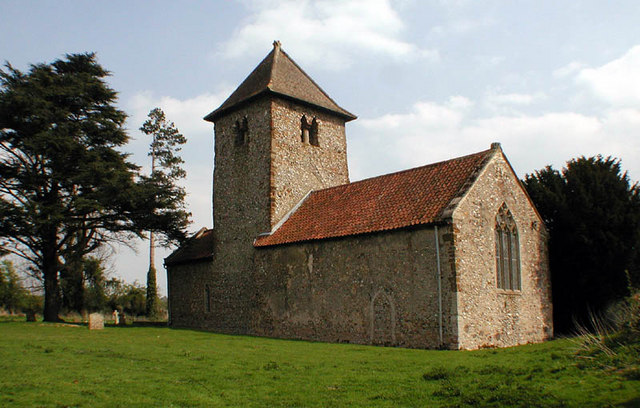
In addition to its natural wonders, Emanuel's Common is also steeped in history and culture. The area has a rich heritage, with ancient archaeological sites and landmarks dotting the landscape. Visitors can explore the remnants of prehistoric settlements and burial mounds, providing a glimpse into the region's past.
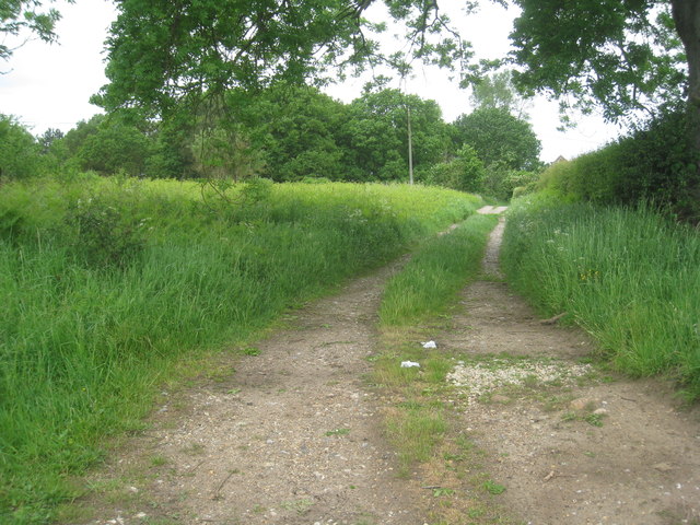
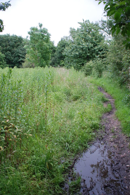
For those seeking outdoor activities, Emanuel's Common offers a plethora of options. Hiking trails crisscross the area, allowing visitors to explore the rolling hills and enjoy stunning panoramic views. The moorlands provide an excellent setting for picnics, birdwatching, or simply taking a leisurely stroll.
Overall, Emanuel's Common, Norfolk, is a haven of natural beauty and cultural significance. Its combination of breathtaking landscapes, diverse wildlife, and historical sites make it a must-visit destination for anyone seeking a peaceful retreat or an adventure in the heart of the English countryside.
If you have any feedback on the listing, please let us know in the comments section below.
Emanuel's Common Images
Images are sourced within 2km of 52.71854/0.71377607 or Grid Reference TF8316. Thanks to Geograph Open Source API. All images are credited.


Emanuel's Common is located at Grid Ref: TF8316 (Lat: 52.71854, Lng: 0.71377607)
Administrative County: Norfolk
District: King's Lynn and West Norfolk
Police Authority: Norfolk
What 3 Words
///browser.lamppost.cools. Near Swaffham, Norfolk
Nearby Locations
Related Wikis

West Lexham
West Lexham is a village and former civil parish, now in the parish of Lexham, in the Breckland district, in the county of Norfolk, England. It is 5.9...
Newton by Castle Acre
Newton by Castle Acre is a village, Anglican parish and civil parish in the Breckland district of the English county of Norfolk. It is situated on the...
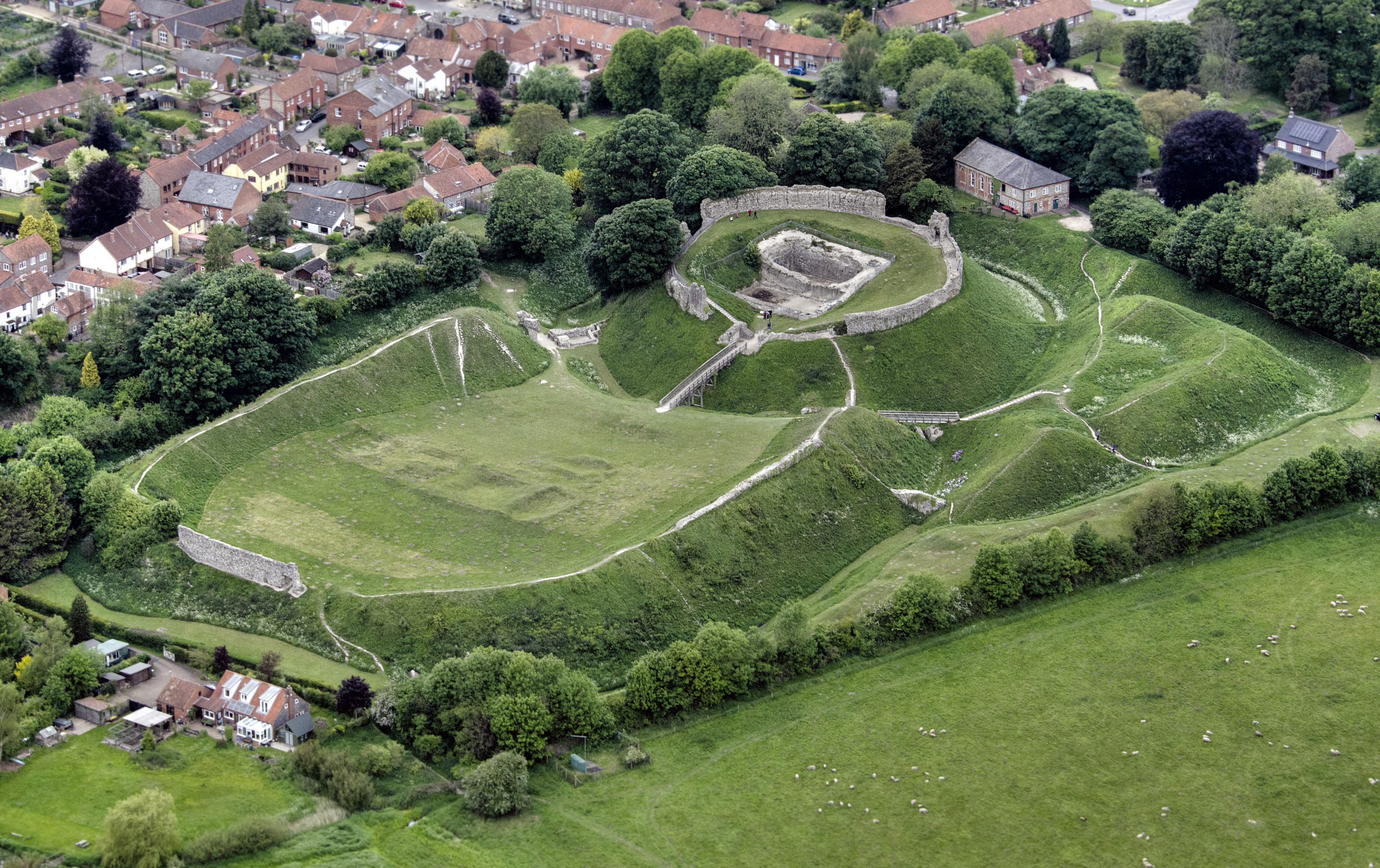
Castle Acre Castle and town walls
Castle Acre Castle and town walls are a set of ruined medieval defences built in the village of Castle Acre, Norfolk. The castle was built soon after the...

Peddars Way
The Peddars Way is a long distance footpath that passes through Suffolk and Norfolk, England. == Route == The Peddars Way is 46 miles (74 km) long and...

Lexham
Lexham is a parish consisting of the twin villages of East Lexham and West Lexham situated in the Breckland District of Norfolk and covers an area of 9...

Castle Acre
Castle Acre is a village and civil parish in the English county of Norfolk. The village is situated on the River Nar some 4 miles (6.4 km) north of the...
East Lexham
East Lexham is a village and former civil parish, now in the parish of Lexham, in the Breckland district, in the English county of Norfolk. It is 7.7 miles...

Castle Acre Priory
Castle Acre Priory was a Cluniac priory in the village of Castle Acre, Norfolk, England, dedicated to St Mary, St Peter, and St Paul. It is thought to...
Nearby Amenities
Located within 500m of 52.71854,0.71377607Have you been to Emanuel's Common?
Leave your review of Emanuel's Common below (or comments, questions and feedback).