Barrow Common

Downs, Moorland in Norfolk King's Lynn and West Norfolk

England

Barrow Common

Deepdale Camping and Rooms Nice place to spend a reasonably priced self-catering weekend with close friends in dormitory accommodation in the roof space, or park your tent/van round the back.  Free parking included and a shop next door!
<span class="nowrap"><a title="https://www.deepdalebackpackers.co.uk" rel="nofollow ugc noopener" href="https://www.deepdalebackpackers.co.uk">Link</a><img style="margin-left:2px;" alt="External link" title="External link - shift click to open in new window" src="https://s1.geograph.org.uk/img/external.png" width="10" height="10"/></span>
Deepdale Camping and Rooms Credit: Ian Paterson

Barrow Common is a stunning area of natural beauty located in Norfolk, England. Spanning over 1,000 acres, it is known for its diverse ecosystems, encompassing downs, moorland, and a variety of wildlife. This unique landscape attracts nature enthusiasts and provides a tranquil escape from the bustling city life.

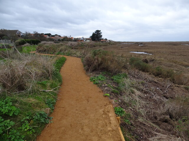
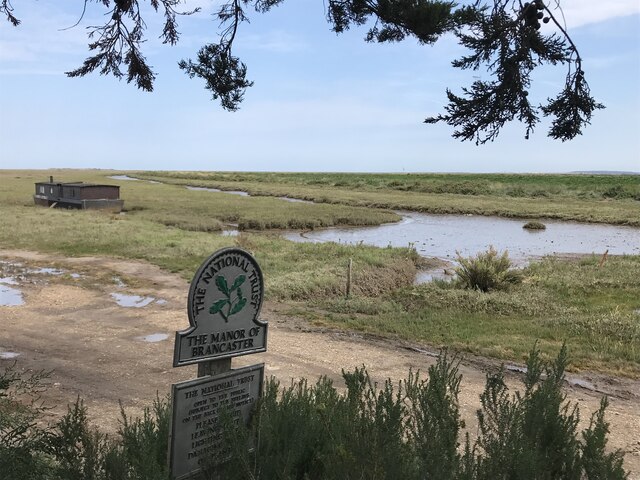
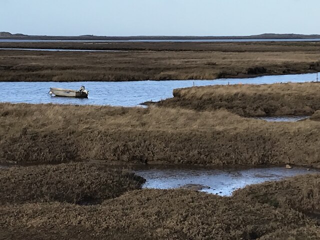
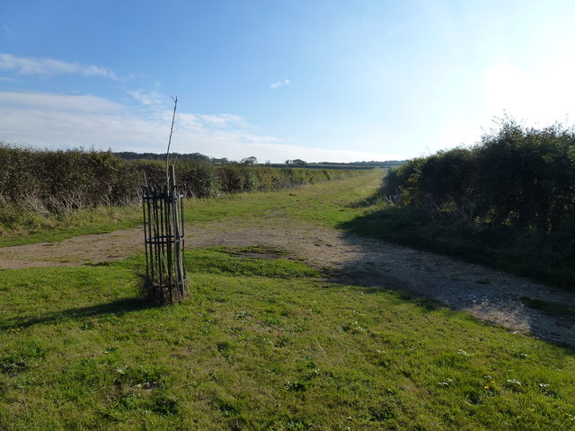
The downs of Barrow Common are characterized by rolling hills covered in a patchwork of vibrant heather and grasses. These stunning vistas offer panoramic views of the surrounding countryside and are a favorite spot for walkers and hikers. The moorland, on the other hand, consists of open expanses of wetland and marshes, providing a rich habitat for a wide range of bird species, including curlews, lapwings, and snipes.

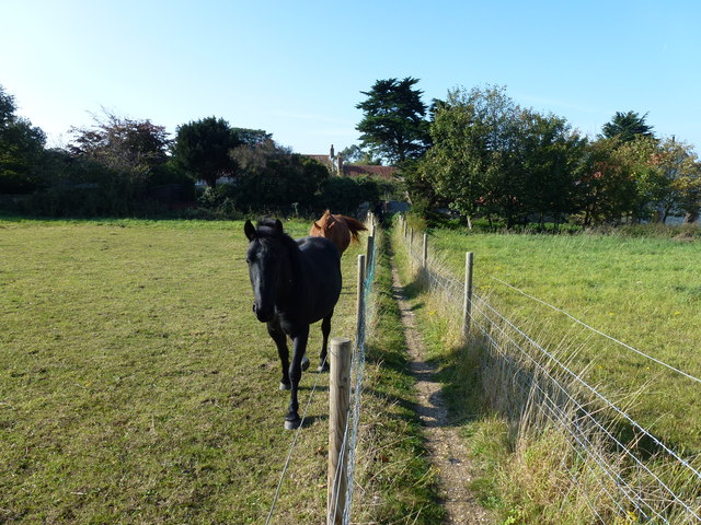
The area is dotted with several picturesque ponds and small streams, adding to its natural charm. These water bodies provide a vital source of hydration for the resident wildlife, which includes deer, rabbits, and various small mammals. Additionally, the region is home to a diverse array of plant species, such as cotton grass, bog myrtle, and sundew.

Barrow Common is protected as a Site of Special Scientific Interest (SSSI) due to its ecological significance. It serves as an important breeding ground for many rare and endangered species, making it a crucial conservation area. As a result, visitors are encouraged to respect the natural environment and follow designated paths to minimize disturbance to the wildlife.

Overall, Barrow Common offers a truly immersive experience for nature lovers, with its picturesque downs, enchanting moorland, and abundant wildlife. Whether one is seeking a peaceful walk, birdwatching opportunities, or simply a moment of tranquility in the heart of Norfolk, Barrow Common is a must-visit destination.

If you have any feedback on the listing, please let us know in the comments section below.

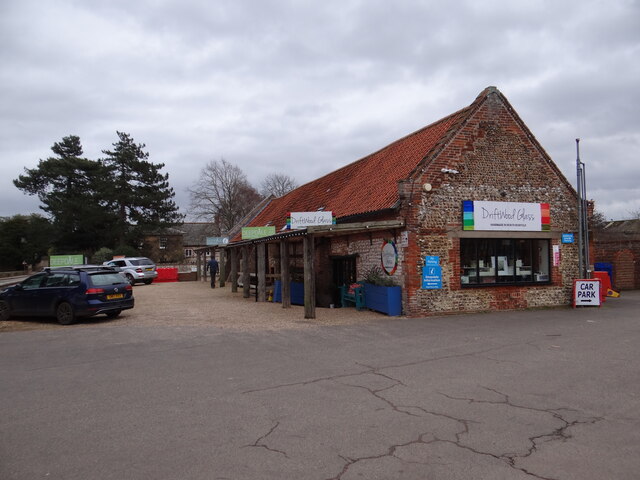
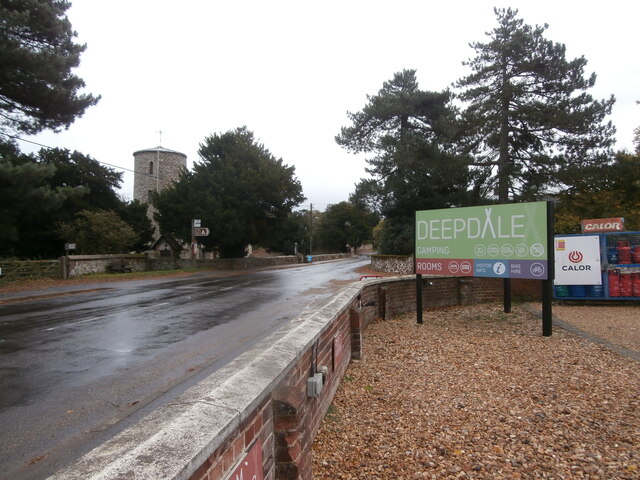
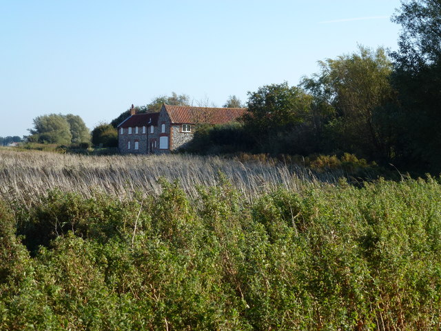
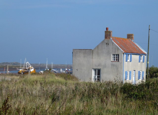
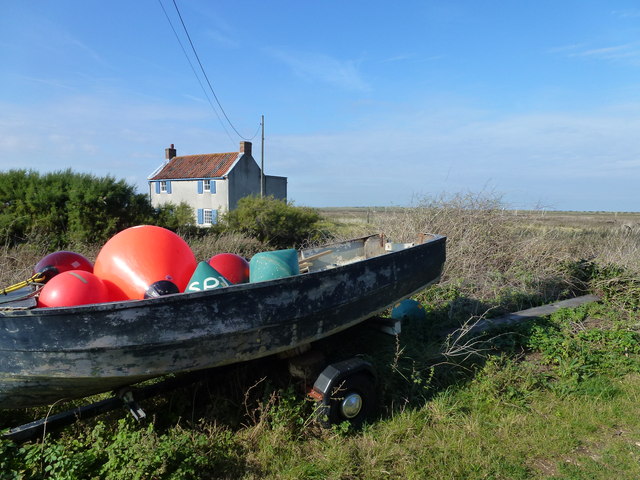
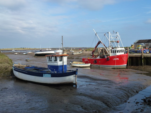
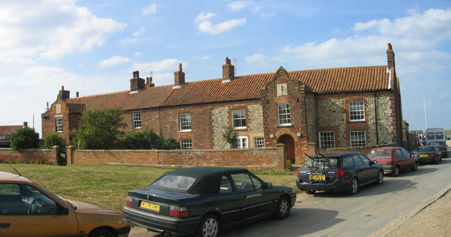
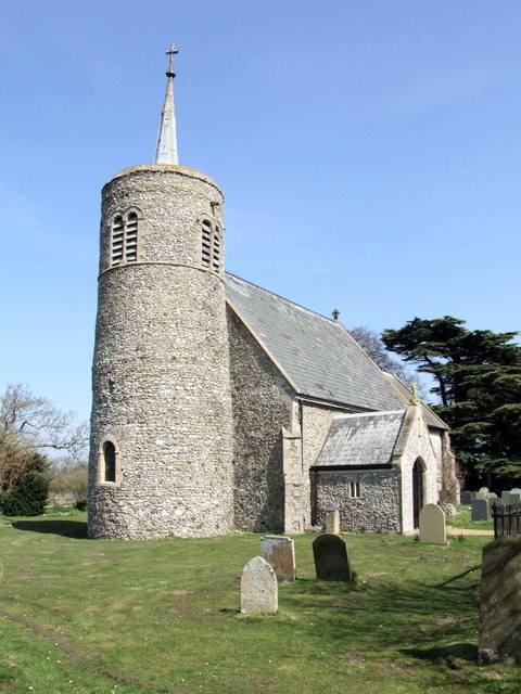
Barrow Common Images

Images are sourced within 2km of 52.955585/0.66354856 or Grid Reference TF7943. Thanks to Geograph Open Source API. All images are credited.

Deepdale Camping and Rooms Nice place to spend a reasonably priced self-catering weekend with close friends in dormitory accommodation in the roof space, or park your tent/van round the back.  Free parking included and a shop next door!
<span class="nowrap"><a title="https://www.deepdalebackpackers.co.uk" rel="nofollow ugc noopener" href="https://www.deepdalebackpackers.co.uk">Link</a><img style="margin-left:2px;" alt="External link" title="External link - shift click to open in new window" src="https://s1.geograph.org.uk/img/external.png" width="10" height="10"/></span>
Deepdale Camping and Rooms
Nice place to spend a reasonably priced self-catering weekend with close friends in dormitory accommodation in the roof space, or park your tent/van round the back. Free parking included and a shop next door! LinkExternal link
Pleasant path Just about the most perfect surface for a footpath. Clean, well-defined, flat, firm but not too soft nor too hard, no mud, no puddles, no dog poop, no litter!
Pleasant path
Just about the most perfect surface for a footpath. Clean, well-defined, flat, firm but not too soft nor too hard, no mud, no puddles, no dog poop, no litter!
St Mary's Burnham Deepdale Taken from outside Dalegate Market <span class="nowrap"><a title="https://www.dalegatemarket.co.uk/" rel="nofollow ugc noopener" href="https://www.dalegatemarket.co.uk/">Link</a><img style="margin-left:2px;" alt="External link" title="External link - shift click to open in new window" src="https://s1.geograph.org.uk/img/external.png" width="10" height="10"/></span> . The OS symbol for a church with a tower seems inappropriate in these parts, where round-towered churches, as here, are common. The tower at St Mary's is thought to be Norman <span class="nowrap"><a title="http://www.saxonshorebenefice.co.uk/burnhamd.htm" rel="nofollow ugc noopener" href="http://www.saxonshorebenefice.co.uk/burnhamd.htm">Link</a><img style="margin-left:2px;" alt="External link" title="External link - shift click to open in new window" src="https://s1.geograph.org.uk/img/external.png" width="10" height="10"/></span> .
St Mary's Burnham Deepdale
Taken from outside Dalegate Market LinkExternal link . The OS symbol for a church with a tower seems inappropriate in these parts, where round-towered churches, as here, are common. The tower at St Mary's is thought to be Norman LinkExternal link .
The Manor of Brancaster - National Trust
Saltmarsh and creeks, Brancaster Staithe A view from the car park of the White Horse
Saltmarsh and creeks, Brancaster Staithe
A view from the car park of the White Horse
Signpost in the garden of the White Horse, Brancaster Staithe The garden and car park abut the saltmarshes at this popular North Norfolk hostelry.
Signpost in the garden of the White Horse, Brancaster Staithe
The garden and car park abut the saltmarshes at this popular North Norfolk hostelry.
St Mary's church, Burnham Deepdale The church has an eleventh century tower but most of the external detailing of the body of the church dates to the nineteenth century <span class="nowrap"><a title="https://historicengland.org.uk/listing/the-list/list-entry/1237969?section=official-list-entry" rel="nofollow ugc noopener" href="https://historicengland.org.uk/listing/the-list/list-entry/1237969?section=official-list-entry">Link</a><img style="margin-left:2px;" alt="External link" title="External link - shift click to open in new window" src="https://s1.geograph.org.uk/img/external.png" width="10" height="10"/></span>
St Mary's church, Burnham Deepdale
The church has an eleventh century tower but most of the external detailing of the body of the church dates to the nineteenth century LinkExternal link
War Memorial, St Mary's Church, Brancaster
Brancaster Staithe Quay The quay was renovated in 2007 and is used regularly by fishing vessels.
Brancaster Staithe Quay
The quay was renovated in 2007 and is used regularly by fishing vessels.
Green Common Lane, Brancaster
The Ship Hotel, Brancaster
Yours for £1.5 million !!! Rather a nice property for sale, Cross Lane, Brancaster. Six bedrooms, 5 bathrooms and sea views don't come cheap.
Yours for £1.5 million !!!
Rather a nice property for sale, Cross Lane, Brancaster. Six bedrooms, 5 bathrooms and sea views don't come cheap.
Very narrow footpath in Brancaster Cutting a large grass paddock in two which is currently home to a couple of very friendly and inquisitive horses
Very narrow footpath in Brancaster
Cutting a large grass paddock in two which is currently home to a couple of very friendly and inquisitive horses
Creek Farm near Brancaster There are hundreds of acres of salt marsh to the north of this house
Creek Farm near Brancaster
There are hundreds of acres of salt marsh to the north of this house
House near the marsh at Brancaster Staithe
Buoys in a boat at Brancaster Staithe
High and dry at Brancaster Staithe Fishing boat LN86 waiting for the next tide
High and dry at Brancaster Staithe
Fishing boat LN86 waiting for the next tide
Fishing boats at low tide, Brancaster Staithe Fishing boats and the new steel and concrete quay built in 2007 to replace the timber one.
Fishing boats at low tide, Brancaster Staithe
Fishing boats and the new steel and concrete quay built in 2007 to replace the timber one.
Show me another place!

Barrow Common is located at Grid Ref: TF7943 (Lat: 52.955585, Lng: 0.66354856)

Administrative County: Norfolk

District: King's Lynn and West Norfolk

Police Authority: Norfolk

What 3 Words

///treatment.chromatic.mock. Near Hunstanton, Norfolk

Nearby Locations

The Downs Barrow Common

Related Wikis

Branodunum

Branodunum was an ancient Roman fort to the east of the modern English village of Brancaster in Norfolk. Its Roman name derives from the local Celtic language...
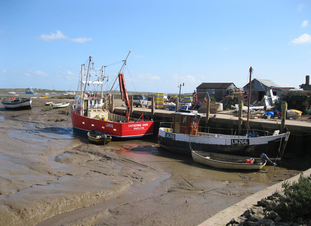
Brancaster Staithe

Brancaster Staithe is a village on the north coast of the English county of Norfolk. Brancaster Staithe merges with Burnham Deepdale, forming one village...

Brancaster

Brancaster is a village and civil parish on the north coast of the English county of Norfolk. The civil parish of Brancaster comprises Brancaster itself...

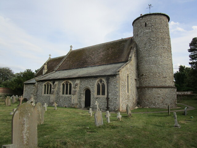
St Mary's Church, Burnham Deepdale

St Mary's Church is a round-tower church in Burnham Deepdale, Norfolk, England. Its round tower and some other parts of the building date from the 11th...

Royal West Norfolk Golf Club

Royal West Norfolk Golf Club is a golf club in Brancaster, Norfolk, England, about 7 miles (11 km) east of Hunstanton, between Brancaster Bay and the salt...

Titchwell

Titchwell is a village and civil parish in Norfolk, England. It is situated on the north Norfolk coast some 2 km (1.2 mi) west of the village of Brancaster...

RAF Docking

Royal Air Force Docking or more simply RAF Docking is a former Royal Air Force satellite station a few miles from Bircham Newton in Norfolk, England....

Burnham Norton

Burnham Norton is a village and civil parish in the English county of Norfolk, one of the Burnhams, an adjacent group in the northernmost part of Norfolk...

Nearby Amenities

Located within 500m of 52.955585,0.66354856
Barrow Common
Place: locality
Lat/Long: 52.9559946/0.6620086
Valley Farm
Place: farm
Lat/Long: 52.9566267/0.6692177
Bench
Backrest: yes
Colour: brown
Inscription: Donated by Friends of the Brancaster Commons / 1998 – 2006
Material: wood
Lat/Long: 52.9572735/0.659114
Give Way
Lat/Long: 52.9523867/0.6623246
Give Way
Lat/Long: 52.9524675/0.6625452
Give Way
Lat/Long: 52.9525196/0.662456
The data included in this document is from www.openstreetmap.org. The data is made available under ODbL.

Have you been to Barrow Common?

Leave your review of Barrow Common below (or comments, questions and feedback).