The Downs
Wood, Forest in Norfolk King's Lynn and West Norfolk
England
The Downs

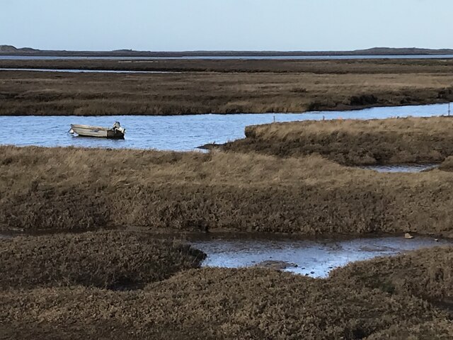
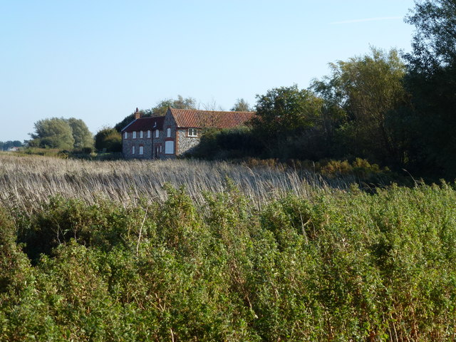
The Downs, located in Norfolk, England, is a picturesque woodland area known for its natural beauty and diverse ecosystem. Spanning over a vast expanse, the forest is a popular destination for nature enthusiasts and outdoor lovers alike.
The Downs is characterized by its dense and ancient woodlands, featuring a variety of tree species such as oak, beech, and pine. The forest floor is covered with a rich carpet of moss, ferns, and wildflowers, creating a vibrant and colorful landscape. The area is also home to a wide range of wildlife, including deer, rabbits, and various bird species.
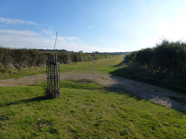
Visitors to The Downs can enjoy a range of recreational activities, including hiking, cycling, and birdwatching. There are numerous well-maintained trails that wind through the forest, offering breathtaking views and opportunities for exploration. The peaceful atmosphere and tranquil ambiance make it an ideal spot for those seeking a break from the hustle and bustle of city life.
In addition to its natural beauty, The Downs also has historical significance. The forest is dotted with ancient ruins and archaeological sites, giving visitors a glimpse into the region's rich past. These remnants serve as a reminder of the area's long and fascinating history.
Overall, The Downs in Norfolk is a haven of natural beauty, offering visitors a chance to experience the wonders of a diverse woodland ecosystem. Its combination of stunning scenery, abundant wildlife, and historical significance make it a must-visit destination for nature enthusiasts and history buffs alike.
If you have any feedback on the listing, please let us know in the comments section below.
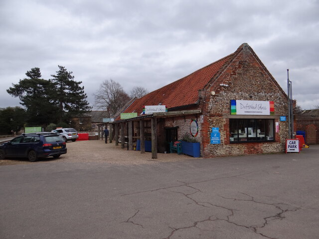
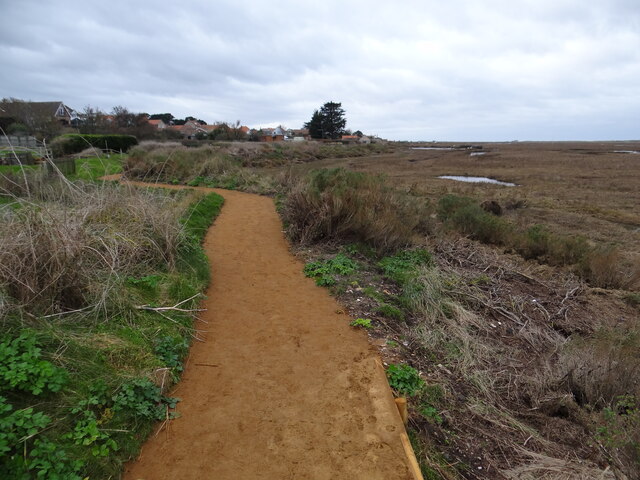
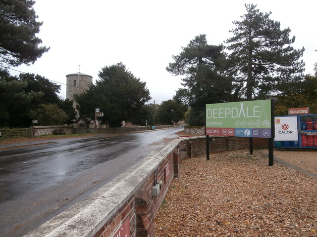
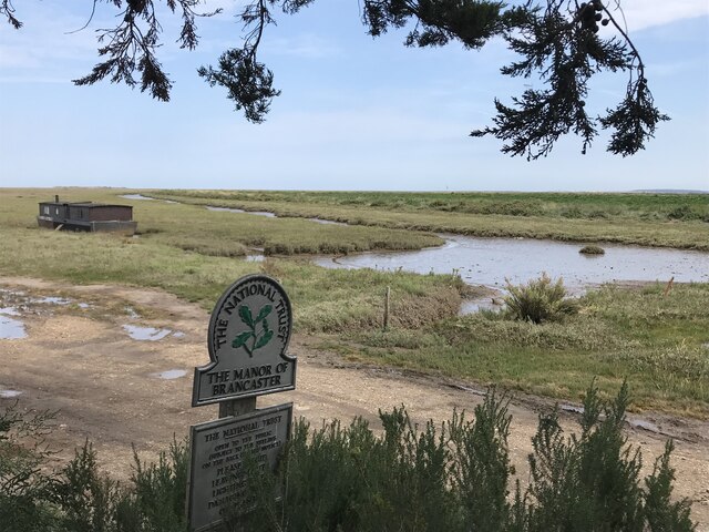
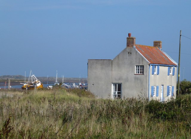
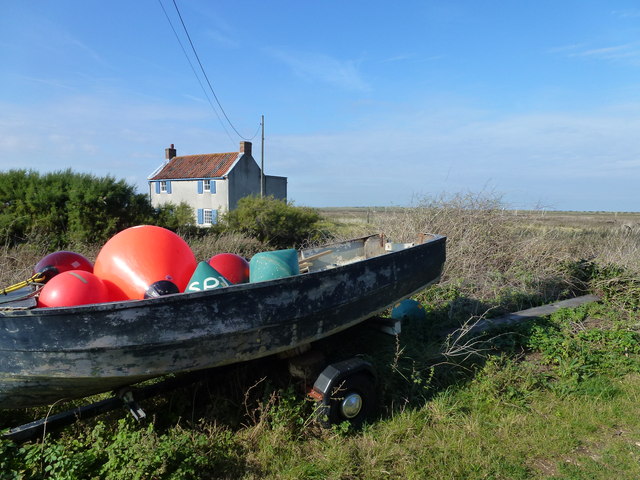
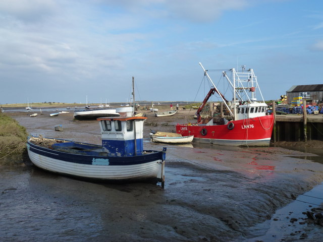
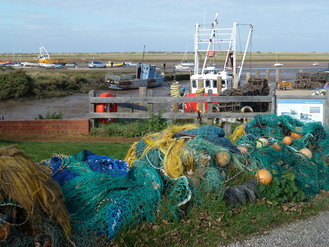
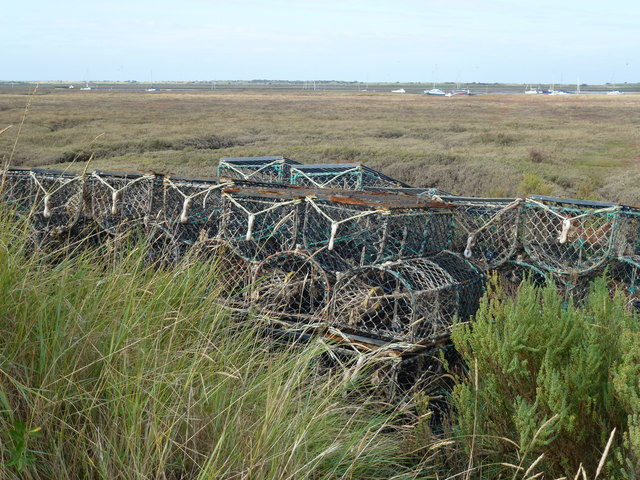
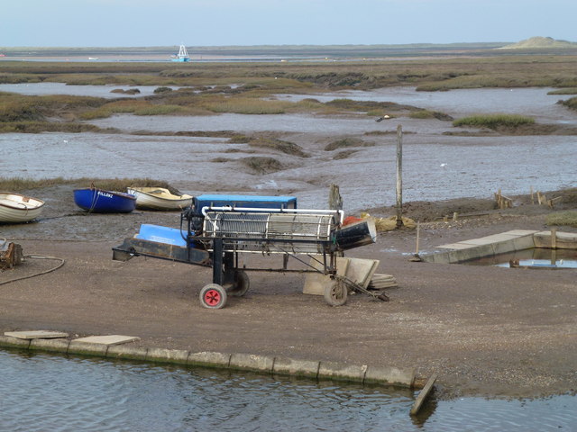
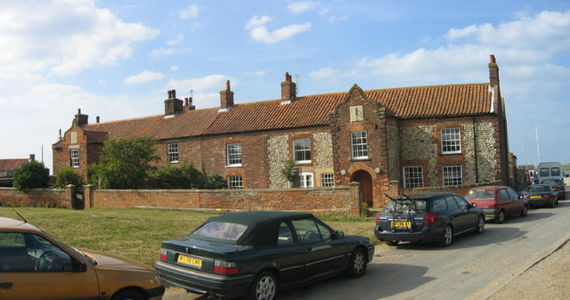
The Downs Images
Images are sourced within 2km of 52.954681/0.67218827 or Grid Reference TF7943. Thanks to Geograph Open Source API. All images are credited.


The Downs is located at Grid Ref: TF7943 (Lat: 52.954681, Lng: 0.67218827)
Administrative County: Norfolk
District: King's Lynn and West Norfolk
Police Authority: Norfolk
What 3 Words
///avoid.dictation.tips. Near Hunstanton, Norfolk
Nearby Locations
Related Wikis
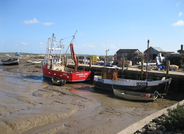
Brancaster Staithe
Brancaster Staithe is a village on the north coast of the English county of Norfolk. Brancaster Staithe merges with Burnham Deepdale, forming one village...

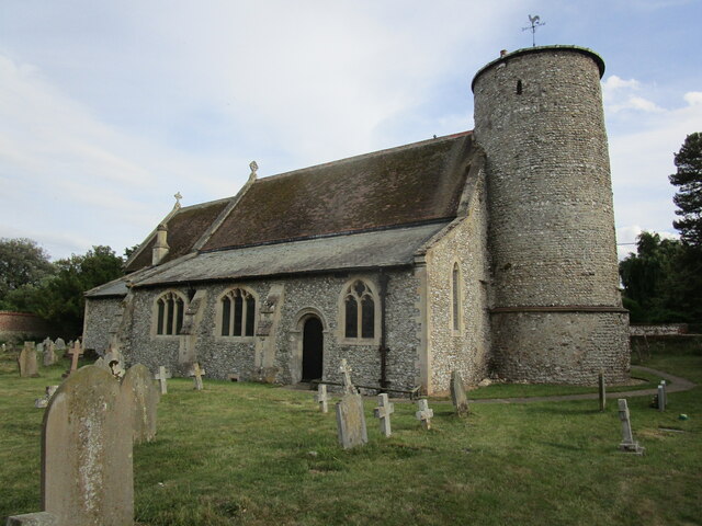
St Mary's Church, Burnham Deepdale
St Mary's Church is a round-tower church in Burnham Deepdale, Norfolk, England. Its round tower and some other parts of the building date from the 11th...

Branodunum
Branodunum was an ancient Roman fort to the east of the modern English village of Brancaster in Norfolk. Its Roman name derives from the local Celtic language...

Brancaster
Brancaster is a village and civil parish on the north coast of the English county of Norfolk. The civil parish of Brancaster comprises Brancaster itself...

Royal West Norfolk Golf Club
Royal West Norfolk Golf Club is a golf club in Brancaster, Norfolk, England, about 7 miles (11 km) east of Hunstanton, between Brancaster Bay and the salt...

Burnham Norton
Burnham Norton is a village and civil parish in the English county of Norfolk, one of the Burnhams, an adjacent group in the northernmost part of Norfolk...

Burnham Westgate Hall
Burnham Westgate Hall is a Georgian country house near Burnham Market, Norfolk, about 2 mi (3.2 km) south of the north Norfolk coast. It was remodelled...
Titchwell
Titchwell is a village and civil parish in Norfolk, England. It is situated on the north Norfolk coast some 2 km (1.2 mi) west of the village of Brancaster...
Nearby Amenities
Located within 500m of 52.954681,0.67218827Have you been to The Downs?
Leave your review of The Downs below (or comments, questions and feedback).