Docking Common

Downs, Moorland in Norfolk King's Lynn and West Norfolk

England

Docking Common

Church Lane, Stanhoe On the right is All Saints' Church <span class="nowrap"><a title="https://stanhoe.org/church" rel="nofollow ugc noopener" href="https://stanhoe.org/church">Link</a><img style="margin-left:2px;" alt="External link" title="External link - shift click to open in new window" src="https://s1.geograph.org.uk/img/external.png" width="10" height="10"/></span> ; the materials used for the perimeter wall are characteristic of the area. On the left is the former school house, now a private home. A similar view of this road in past times can be seen at <span class="nowrap"><a title="https://stanhoe.org/gallery/picture.php?/1312/category/34" rel="nofollow ugc noopener" href="https://stanhoe.org/gallery/picture.php?/1312/category/34">Link</a><img style="margin-left:2px;" alt="External link" title="External link - shift click to open in new window" src="https://s1.geograph.org.uk/img/external.png" width="10" height="10"/></span>
Church Lane, Stanhoe Credit: HelenK

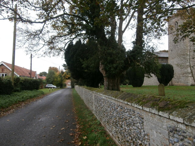
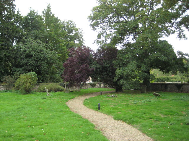
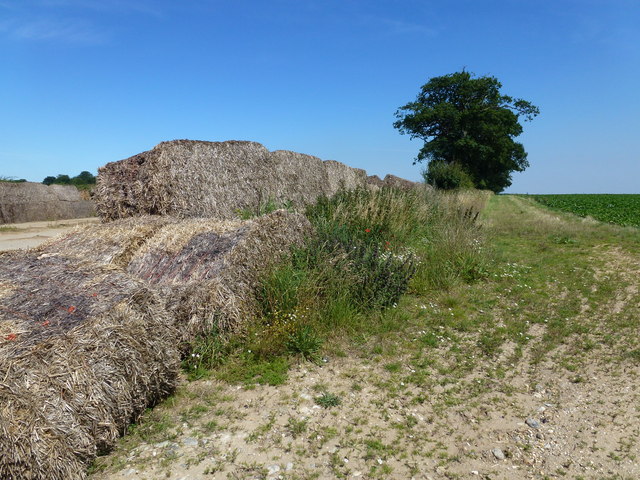
Docking Common is a picturesque area located in the county of Norfolk, England. Covering a vast expanse of approximately 300 acres, it is a diverse landscape comprising of downs and moorland. The common is situated near the village of Docking, and is a popular destination for nature enthusiasts and walkers.

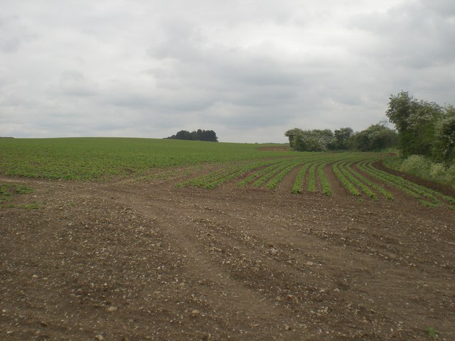
The downs of Docking Common are characterized by their rolling hills and open grassland. These downs provide a stunning backdrop and offer panoramic views of the surrounding countryside. The area is home to a variety of plant species, including wildflowers and grasses, creating a vibrant and colorful display during the summer months.

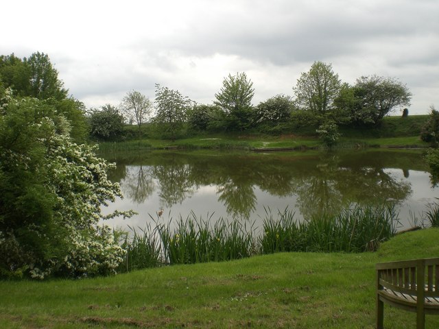
In contrast, the moorland section of the common is characterized by its wet and marshy terrain. It is an important habitat for numerous bird species, including wading birds and waterfowl. The moorland is also dotted with small ponds and pools, enhancing the diversity of wildlife in the area.

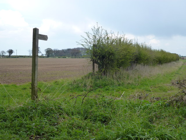
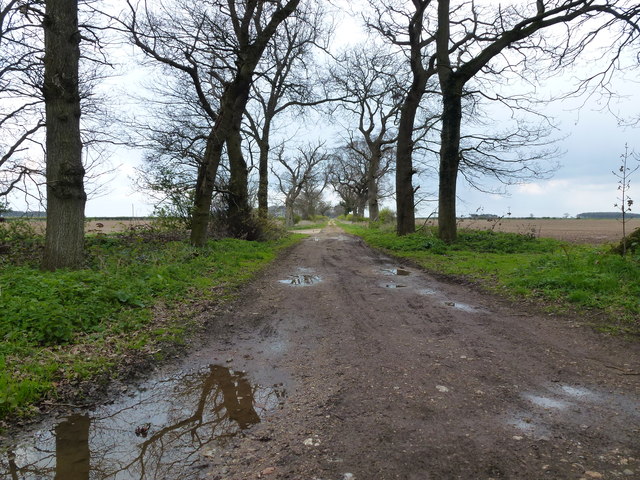
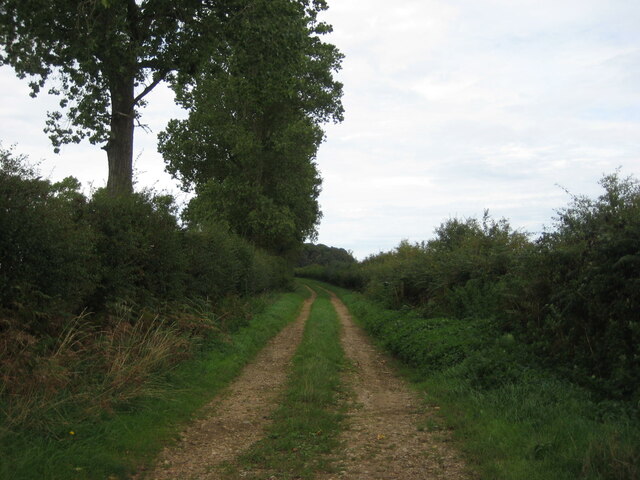
Docking Common is managed by the Norfolk Wildlife Trust, which ensures the conservation and protection of its natural habitats. The common is accessible to the public and offers a network of footpaths and trails for visitors to explore. It provides a tranquil and idyllic setting for walking, birdwatching, and picnicking.

Overall, Docking Common is a beautiful and diverse natural area, offering a unique blend of downs and moorland. Its rich wildlife and stunning landscapes make it a must-visit destination for nature lovers and those seeking a peaceful escape in the heart of Norfolk.

If you have any feedback on the listing, please let us know in the comments section below.

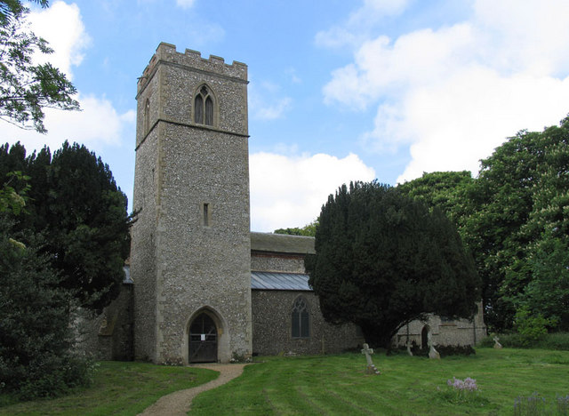
Docking Common Images

Images are sourced within 2km of 52.890392/0.65843321 or Grid Reference TF7835. Thanks to Geograph Open Source API. All images are credited.

Church Lane, Stanhoe On the right is All Saints' Church <span class="nowrap"><a title="https://stanhoe.org/church" rel="nofollow ugc noopener" href="https://stanhoe.org/church">Link</a><img style="margin-left:2px;" alt="External link" title="External link - shift click to open in new window" src="https://s1.geograph.org.uk/img/external.png" width="10" height="10"/></span> ; the materials used for the perimeter wall are characteristic of the area. On the left is the former school house, now a private home. A similar view of this road in past times can be seen at <span class="nowrap"><a title="https://stanhoe.org/gallery/picture.php?/1312/category/34" rel="nofollow ugc noopener" href="https://stanhoe.org/gallery/picture.php?/1312/category/34">Link</a><img style="margin-left:2px;" alt="External link" title="External link - shift click to open in new window" src="https://s1.geograph.org.uk/img/external.png" width="10" height="10"/></span>
Church Lane, Stanhoe
On the right is All Saints' Church LinkExternal link ; the materials used for the perimeter wall are characteristic of the area. On the left is the former school house, now a private home. A similar view of this road in past times can be seen at LinkExternal link
The churchyard, Stanhoe
Public footpath near Little Barwick, Norfolk
Track near Little Barwick, Norfolk
Rotting straw bales on a beet storage slab, Great Barwick The usual method of storing lifted sugar beet is on large concrete slabs with walls made of large straw bales, these have seen better days.
Rotting straw bales on a beet storage slab, Great Barwick
The usual method of storing lifted sugar beet is on large concrete slabs with walls made of large straw bales, these have seen better days.
House on Bircham Road B1155 heading north east.
House on Bircham Road
B1155 heading north east.
Farm track, Docking
Farm track, Docking
All Saints, Stanhoe, Norfolk
All Saints, Stanhoe, Norfolk - East end
All Saints, Stanhoe, Norfolk - Window
Looking south east along B1454 Syderstone Road on edge of Docking
King William, Docking at the junction of B1155 and B1454 Docking has done better than many of the villages around here and still has a primary school, two pubs, a village shop and Post Office, and a fish and chip shop.
King William, Docking at the junction of B1155 and B1454
Docking has done better than many of the villages around here and still has a primary school, two pubs, a village shop and Post Office, and a fish and chip shop.
Fish pond, Docking Angling Club This is just one of many ponds in Docking.  I passed five on a brief walk though and there are more than that to be seen on the map.  Interestingly as this local genealogical site <span class="nowrap"><a title="http://www.genealogysource.com/docking.htm" rel="nofollow ugc noopener" href="http://www.genealogysource.com/docking.htm">Link</a><img style="margin-left:2px;" alt="External link" title="External link - shift click to open in new window" src="https://s1.geograph.org.uk/img/external.png" width="10" height="10"/></span> informs one, it used to be called Dry Docking  because of the shortage of drinking water in this the highest point of Norfolk.
Fish pond, Docking Angling Club
This is just one of many ponds in Docking. I passed five on a brief walk though and there are more than that to be seen on the map. Interestingly as this local genealogical site LinkExternal link informs one, it used to be called Dry Docking because of the shortage of drinking water in this the highest point of Norfolk.
South towards Halfway Plantation on green lane near Docking
South east view from track between Halfway and York Hill Plantations near Docking Potato plants sprouting after recent rain
South east view from track between Halfway and York Hill Plantations near Docking
Potato plants sprouting after recent rain
View south from B1155 Docking to Stanhoe towards sewage works
Cottages on B1155 at bottom of southern driveway to High House Farm
Show me another place!

Docking Common is located at Grid Ref: TF7835 (Lat: 52.890392, Lng: 0.65843321)

Administrative County: Norfolk

District: King's Lynn and West Norfolk

Police Authority: Norfolk

What 3 Words

///gosh.result.dragonfly. Near Snettisham, Norfolk

Related Wikis

Barwick, Norfolk

Barwick is a scattered hamlet and civil parish in the north-west part of the English county of Norfolk. It is situated adjacent to the slightly larger...

Stanhoe

Stanhoe is a village and civil parish in the English county of Norfolk, 6.4 miles (10.2 km) from the North Sea. It covers an area of 6.06 km2 (2.34 sq...

RAF Bircham Newton

Royal Air Force Bircham Newton or more simply RAF Bircham Newton is a former Royal Air Force station located 2.1 miles (3.4 km) south east of Docking,...

Docking, Norfolk

Docking is a village and ancient civil parish in the north-west of the English county of Norfolk. It is near the North Norfolk Coast Site of Special Scientific...

Stanhoe railway station

Stanhoe was a railway station which served the village of Stanhoe in Norfolk, England. Opened by the West Norfolk Junction Railway in 1866, it closed to...

Bircham Newton

Bircham Newton is the smallest of the three villages that make up the civil parish of Bircham, in the west of the English county of Norfolk. The village...

Docking railway station

Docking railway station was a station in Norfolk, serving the village of Docking. It closed to passengers in 1952. == References ==

Bagthorpe with Barmer

Bagthorpe with Barmer is a civil parish in the English county of Norfolk. The parish includes the hamlets of Bagthorpe and Barmer, it is around 7+1⁄2 miles...

Nearby Amenities

Located within 500m of 52.890392,0.65843321
Docking Common
Place: locality
Lat/Long: 52.8903913/0.6603314
The data included in this document is from www.openstreetmap.org. The data is made available under ODbL.

Have you been to Docking Common?

Leave your review of Docking Common below (or comments, questions and feedback).