Badmondisfield End
Downs, Moorland in Suffolk West Suffolk
England
Badmondisfield End
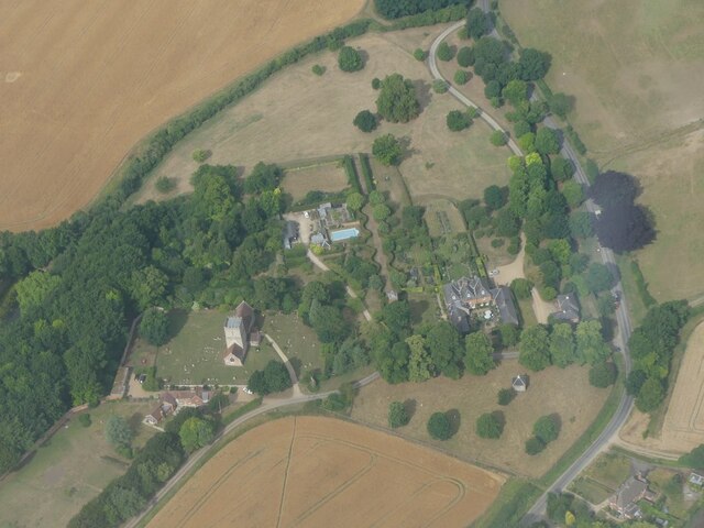
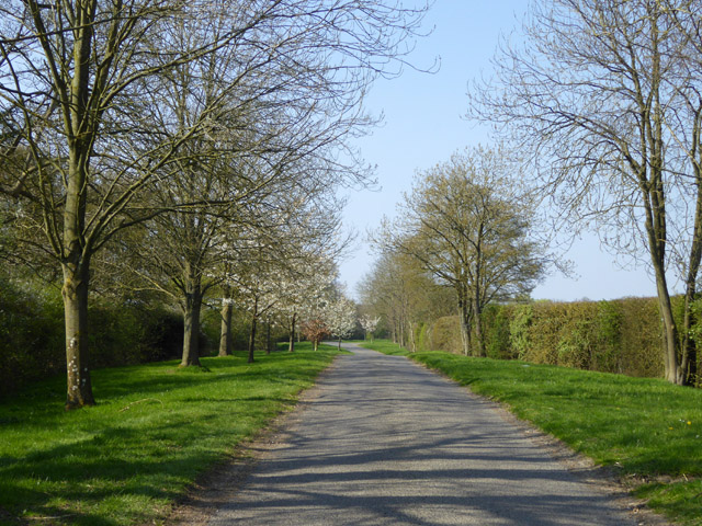
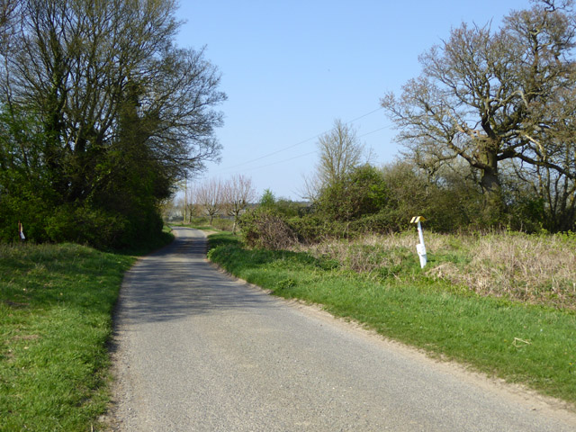
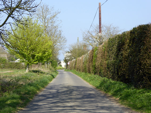
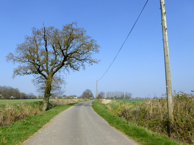
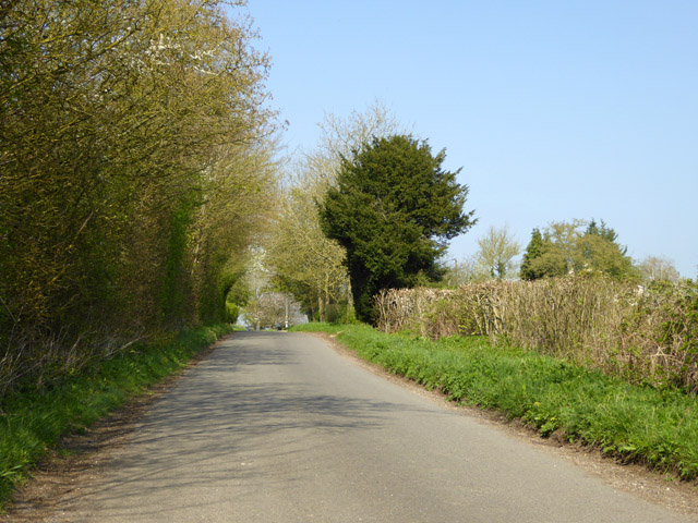
Badmondisfield End is a picturesque area located in Suffolk, England, renowned for its diverse landscape of downs and moorland. Situated in the eastern region of the county, it offers a tranquil escape for nature enthusiasts and those seeking a peaceful retreat.
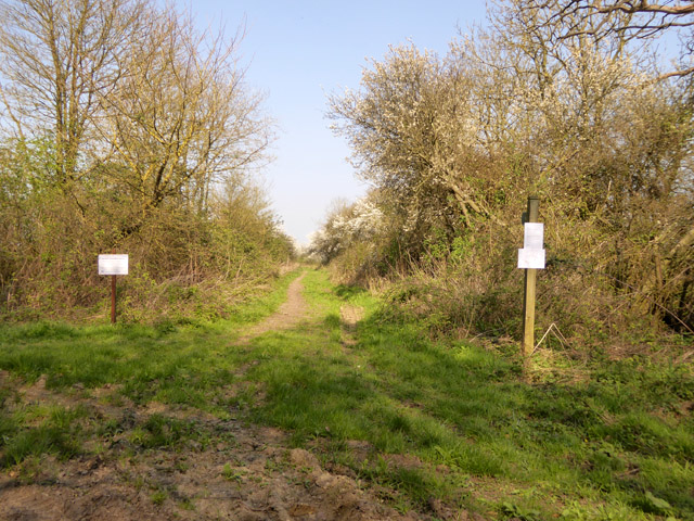
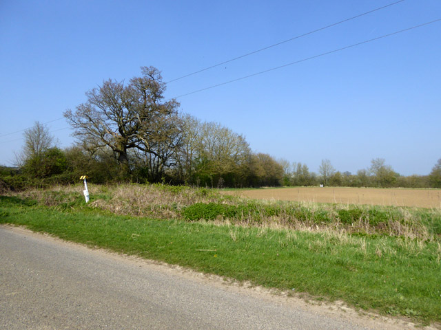
The area is characterized by its rolling hills and expansive moorland, making it a haven for hikers, walkers, and outdoor enthusiasts. The downs, with their vast open spaces and breathtaking views, provide an ideal setting for leisurely strolls or challenging hikes. The moorland, on the other hand, offers a unique habitat for various plant and animal species, making it a popular spot for wildlife enthusiasts and birdwatchers.
Visitors to Badmondisfield End can expect to encounter a diverse range of flora and fauna. The downs are adorned with vibrant wildflowers and grasses, providing a colorful backdrop during the warmer months. It is also home to a variety of bird species, including skylarks and kestrels, which can be spotted soaring through the skies.
The moorland, with its heather-covered hills and boggy terrain, supports a different array of wildlife. Rare species such as the Dartford warbler and the silver-studded blue butterfly can be found here, adding to the area's ecological significance.
Badmondisfield End offers a sense of solitude and tranquility, allowing visitors to connect with nature and enjoy the beauty of the Suffolk countryside. Whether it's exploring the downs, observing wildlife on the moorland, or simply taking in the stunning vistas, this area is a must-visit for nature lovers.
If you have any feedback on the listing, please let us know in the comments section below.
Badmondisfield End Images
Images are sourced within 2km of 52.195701/0.55394704 or Grid Reference TL7458. Thanks to Geograph Open Source API. All images are credited.

Badmondisfield End is located at Grid Ref: TL7458 (Lat: 52.195701, Lng: 0.55394704)
Administrative County: Suffolk
District: West Suffolk
Police Authority: Suffolk
What 3 Words
///lectures.defectors.hedge. Near Newmarket, Suffolk
Nearby Locations
Related Wikis

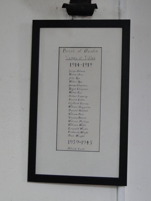
Ousden
Ousden is a village and civil parish in the West Suffolk district of Suffolk in eastern England. It is located around six miles west of Bury St Edmunds...

Lidgate Castle
Lidgate Castle is a medieval motte and bailey castle in the village of Lidgate, Suffolk, England, built to an unusual quadrangular design. == Details... ==
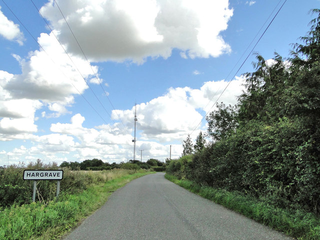
Hargrave, Suffolk
Hargrave is a village and civil parish in the West Suffolk district of Suffolk in eastern England, located about 7 miles (10 km) away from south west of...

Wickhambrook
Wickhambrook is a village and civil parish in the West Suffolk district of Suffolk in eastern England. It is about ten miles (16 km) south-west from Bury...

Coltsfoot Green
Coltsfoot Green is a small hamlet within the village of Wickhambrook, Suffolk, England. It constitutes one of its eleven village greens and consists of...
Lidgate
Lidgate is a small village and a civil parish in the West Suffolk district, in the English county of Suffolk. Lidgate is located on the B1063 road in between...
Denham, West Suffolk
Denham is a village and civil parish in the West Suffolk district of Suffolk in eastern England. Located around five miles west of Bury St Edmunds, in...
Depden
Depden is a village and civil parish in the West Suffolk district of Suffolk in eastern England. Located on the A143 around five miles south-west of Bury...
Nearby Amenities
Located within 500m of 52.195701,0.55394704Have you been to Badmondisfield End?
Leave your review of Badmondisfield End below (or comments, questions and feedback).