Back Street
Settlement in Suffolk West Suffolk
England
Back Street
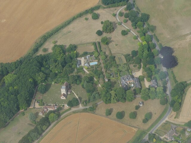
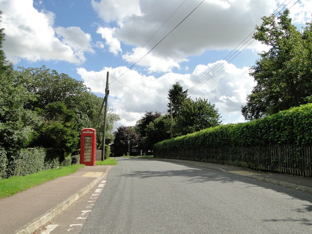
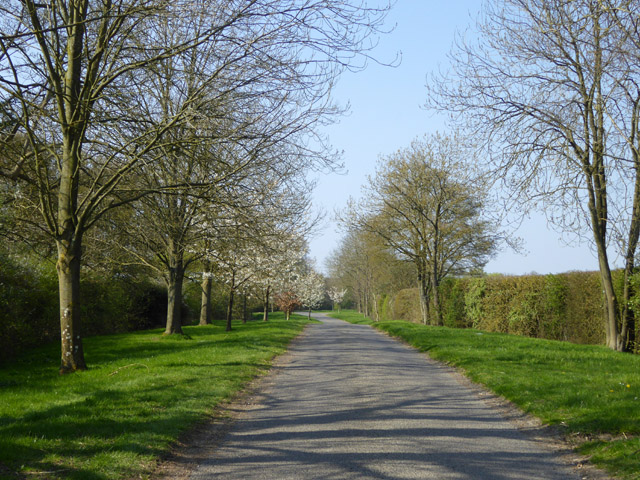
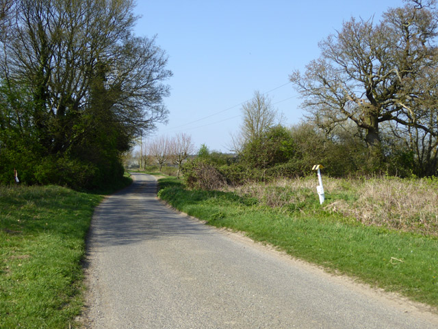
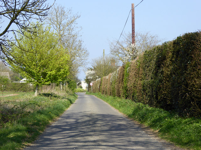
Back Street is a small village located in the county of Suffolk, England. Situated in the eastern part of the country, it is nestled amidst picturesque countryside and is known for its charming rural character. The village is part of the larger district of Suffolk Coastal and is surrounded by lush green fields and meadows, providing a tranquil and idyllic setting.
With a population of around 200 residents, Back Street is a close-knit community where neighbors often know each other and there is a strong sense of community spirit. The village primarily consists of traditional cottages and houses, many of which date back several centuries, adding to its historic appeal.
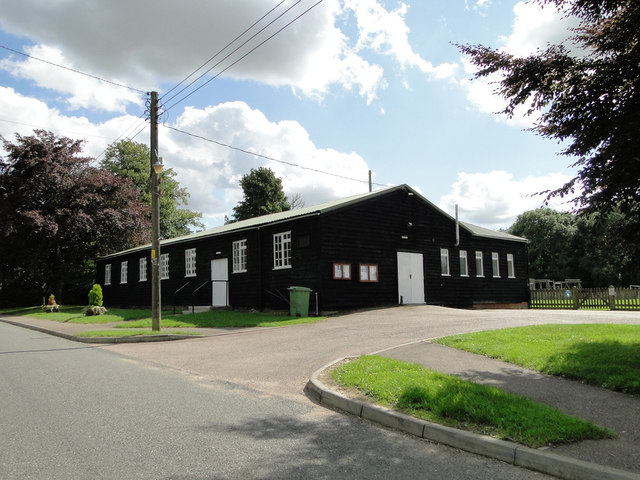
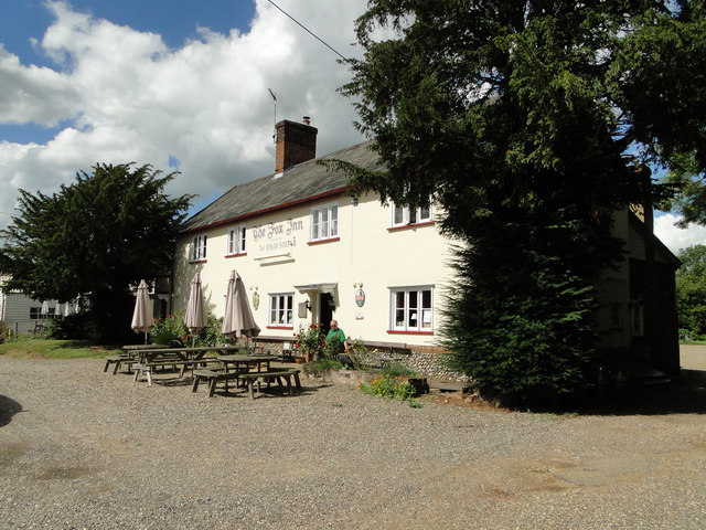
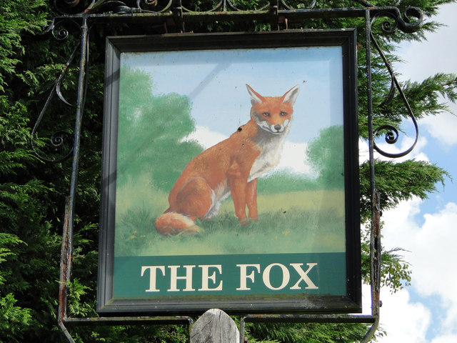
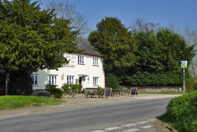
Despite its small size, Back Street offers a range of amenities to its residents. There is a local village hall which acts as a hub for community activities, hosting events such as fairs and social gatherings. The village also boasts a small but well-stocked convenience store, providing essential goods and groceries to its inhabitants. Additionally, there is a quaint village pub that serves as a popular meeting place for locals and visitors alike.
The surrounding natural beauty of Back Street makes it an ideal location for outdoor enthusiasts. The village is surrounded by numerous walking and cycling trails, allowing residents to explore the stunning Suffolk countryside. Additionally, there are several nearby nature reserves and parks, offering opportunities for wildlife spotting and peaceful picnics.
In summary, Back Street is a charming rural village in Suffolk that offers a close-knit community, historic architecture, and picturesque surroundings. It provides a peaceful and idyllic setting for residents seeking a quiet and tranquil lifestyle amidst the beauty of the English countryside.
If you have any feedback on the listing, please let us know in the comments section below.
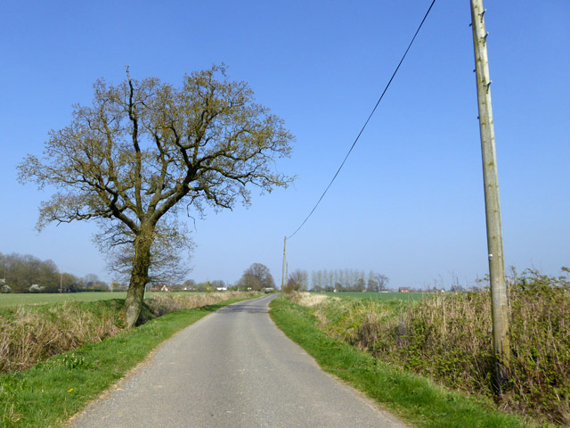
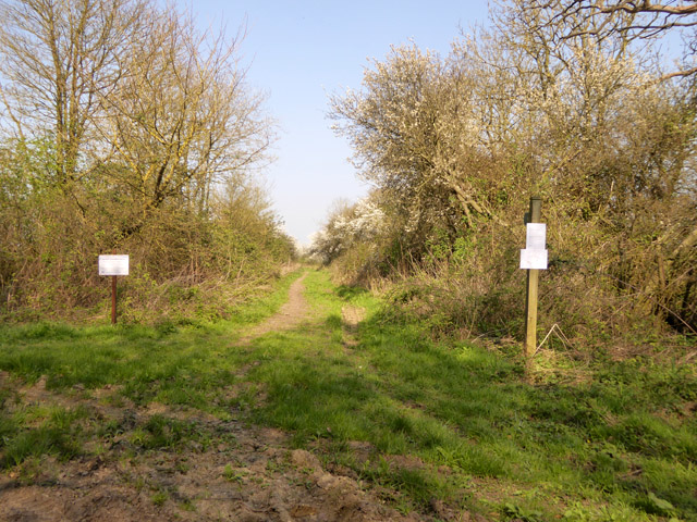
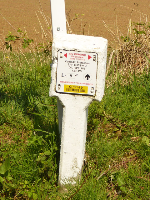
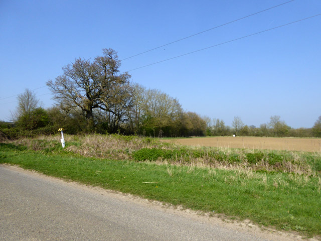
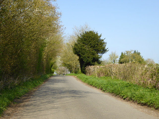
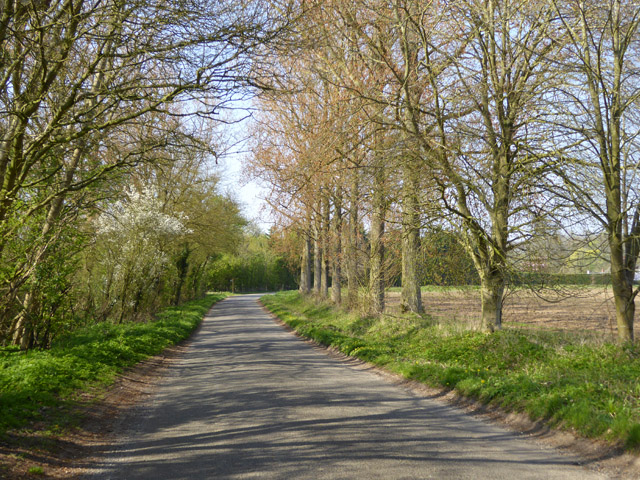
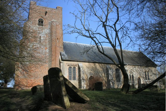
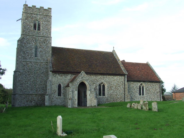
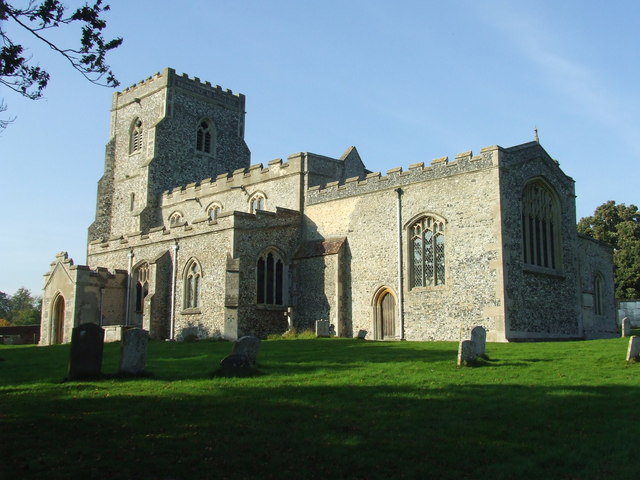
Back Street Images
Images are sourced within 2km of 52.198149/0.54931657 or Grid Reference TL7458. Thanks to Geograph Open Source API. All images are credited.
Back Street is located at Grid Ref: TL7458 (Lat: 52.198149, Lng: 0.54931657)
Administrative County: Suffolk
District: West Suffolk
Police Authority: Suffolk
What 3 Words
///fidelity.slimy.skunks. Near Newmarket, Suffolk
Nearby Locations
Related Wikis

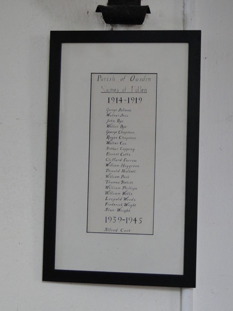
Ousden
Ousden is a village and civil parish in the West Suffolk district of Suffolk in eastern England. It is located around six miles west of Bury St Edmunds...

Lidgate Castle
Lidgate Castle is a medieval motte and bailey castle in the village of Lidgate, Suffolk, England, built to an unusual quadrangular design. == Details... ==
Lidgate
Lidgate is a small village and a civil parish in the West Suffolk district, in the English county of Suffolk. Lidgate is located on the B1063 road in between...
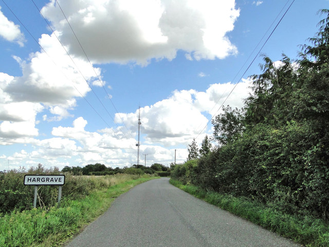
Hargrave, Suffolk
Hargrave is a village and civil parish in the West Suffolk district of Suffolk in eastern England, located about 7 miles (10 km) away from south west of...
Denham, West Suffolk
Denham is a village and civil parish in the West Suffolk district of Suffolk in eastern England. Located around five miles west of Bury St Edmunds, in...

Wickhambrook
Wickhambrook is a village and civil parish in the West Suffolk district of Suffolk in eastern England. It is about ten miles (16 km) south-west from Bury...

Coltsfoot Green
Coltsfoot Green is a small hamlet within the village of Wickhambrook, Suffolk, England. It constitutes one of its eleven village greens and consists of...
Dalham
Dalham is a village and civil parish in the West Suffolk district of Suffolk, England. The name, meaning 'homestead/village in a valley' is of Old English...
Nearby Amenities
Located within 500m of 52.198149,0.54931657Have you been to Back Street?
Leave your review of Back Street below (or comments, questions and feedback).