Back Rogerton
Settlement in Ayrshire
Scotland
Back Rogerton

Back Rogerton is a small village located in the council area of South Ayrshire in Scotland. Situated in the heart of Ayrshire, it is approximately 6 miles northeast of the town of Ayr. Back Rogerton is surrounded by picturesque countryside, with rolling hills and farmland dominating the landscape.
The village itself is relatively small, with a tight-knit community that prides itself on its friendly and welcoming atmosphere. The population of Back Rogerton is estimated to be around 200 residents, who enjoy a peaceful and tranquil lifestyle away from the hustle and bustle of larger towns and cities.
Despite its size, the village offers a few amenities to its residents. There is a local convenience store that caters to the daily needs of the community, along with a quaint village hall that hosts various social events throughout the year. The focal point of the village is the charming Back Rogerton Parish Church, which dates back to the 18th century and serves as a gathering place for worship and community activities.
The surrounding area provides ample opportunities for outdoor activities. Residents and visitors can take advantage of the beautiful countryside by exploring the numerous walking and cycling trails that crisscross the region. Additionally, the nearby River Ayr offers fishing and boating opportunities for those who enjoy water-based activities.
Overall, Back Rogerton is a peaceful and idyllic village that offers a close-knit community, natural beauty, and a tranquil lifestyle for its residents.
If you have any feedback on the listing, please let us know in the comments section below.
Back Rogerton Images
Images are sourced within 2km of 55.470272/-4.2953491 or Grid Reference NS5522. Thanks to Geograph Open Source API. All images are credited.


Back Rogerton is located at Grid Ref: NS5522 (Lat: 55.470272, Lng: -4.2953491)
Unitary Authority: East Ayrshire
Police Authority: Ayrshire
What 3 Words
///spending.cherish.inversion. Near Auchinleck, East Ayrshire
Nearby Locations
Related Wikis
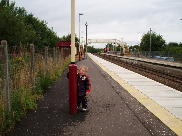
Auchinleck railway station
Auchinleck railway station is a railway station in the village of Auchinleck, East Ayrshire, Scotland. The station is managed by ScotRail and is on the...

Back Rogerton
Back Rogerton was built in the post-World War II housing boom. It is a part of Auchinleck, East Ayrshire, Scotland. The area was bounded by the disused...
Auchinleck
Auchinleck ( OKH-in-LEK; Scots: Affleck IPA: [ˈaflɛk]; Scottish Gaelic: Achadh nan Leac) is a village 5 miles (8 km) southeast of Mauchline, and 2 miles...
Auchinleck Talbot F.C.
Auchinleck Talbot Football Club is a Scottish football club based in Auchinleck, East Ayrshire. They currently play in the West of Scotland League Premier...
Nearby Amenities
Located within 500m of 55.470272,-4.2953491Have you been to Back Rogerton?
Leave your review of Back Rogerton below (or comments, questions and feedback).