Broadmoor Common
Downs, Moorland in Norfolk King's Lynn and West Norfolk
England
Broadmoor Common
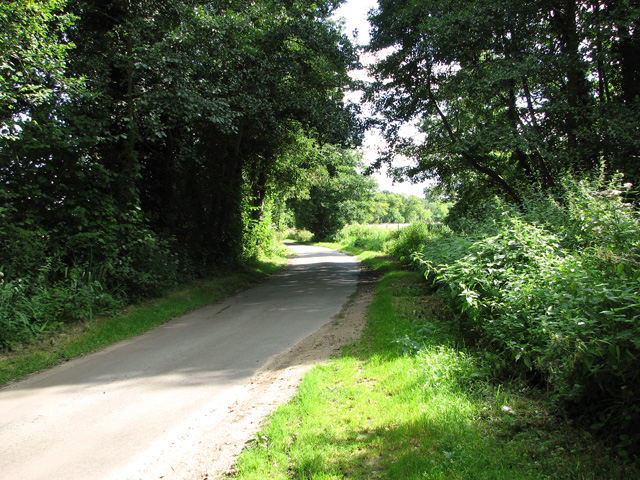
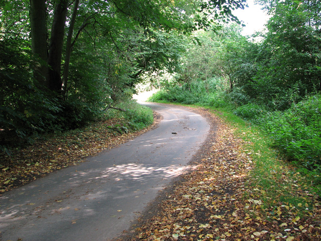
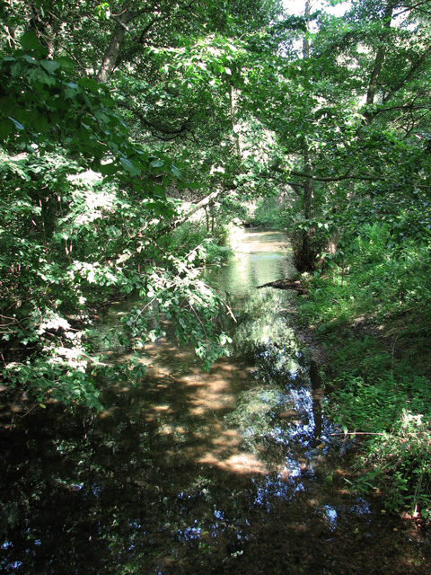
Broadmoor Common, located in Norfolk, England, is a vast and picturesque area encompassing Downland, Moorland, and woodlands. Spanning approximately 1,500 acres, it is a popular destination for nature enthusiasts and outdoor adventurers.
The common features a diverse range of landscapes, including rolling hills, open grasslands, and heathland, providing a rich and varied habitat for wildlife. It is home to several species of birds, such as skylarks, lapwings, and curlews, making it an ideal spot for birdwatching.
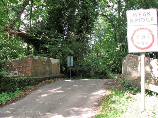
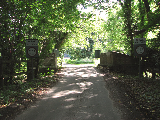
The area is crisscrossed by a network of well-maintained footpaths and bridleways, allowing visitors to explore the common on foot, bike, or horseback. The paths offer breathtaking views of the surrounding countryside and are suitable for all levels of fitness.
Broadmoor Common is also known for its unique and rare plant species. The heathland supports a variety of heathers, gorse, and bilberries, creating a vibrant and colorful landscape. In addition, the woodlands are home to ancient trees, such as oak and beech, adding to the area's natural beauty.
For those seeking tranquility and relaxation, Broadmoor Common offers several peaceful picnic spots and benches where visitors can unwind and enjoy the serene surroundings. Additionally, designated areas are available for camping and barbecues, making it a popular destination for families and groups.
The common is easily accessible, with ample parking available, and is open to the public year-round. Whether for a leisurely stroll, wildlife observation, or simply to immerse oneself in nature, Broadmoor Common offers a captivating and unforgettable experience for all who visit.
If you have any feedback on the listing, please let us know in the comments section below.
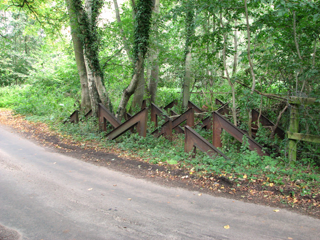
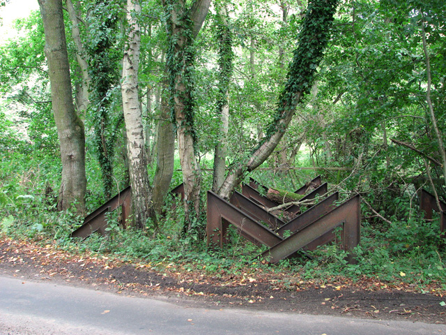
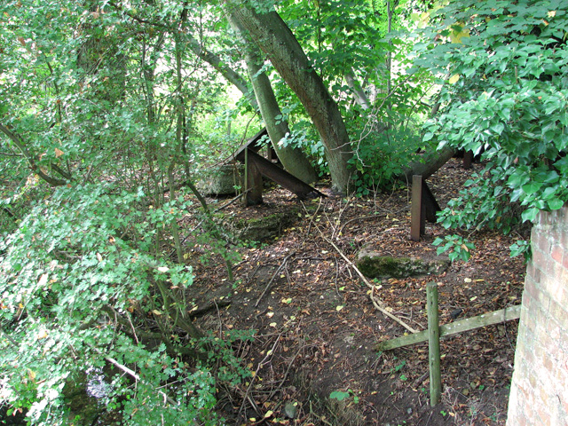
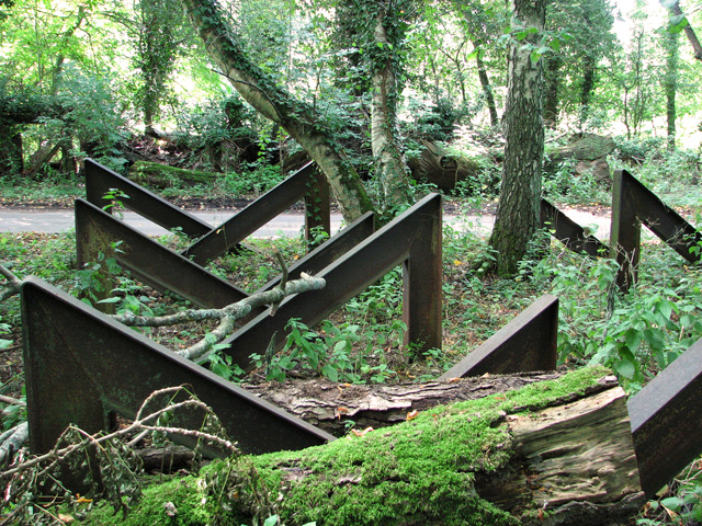
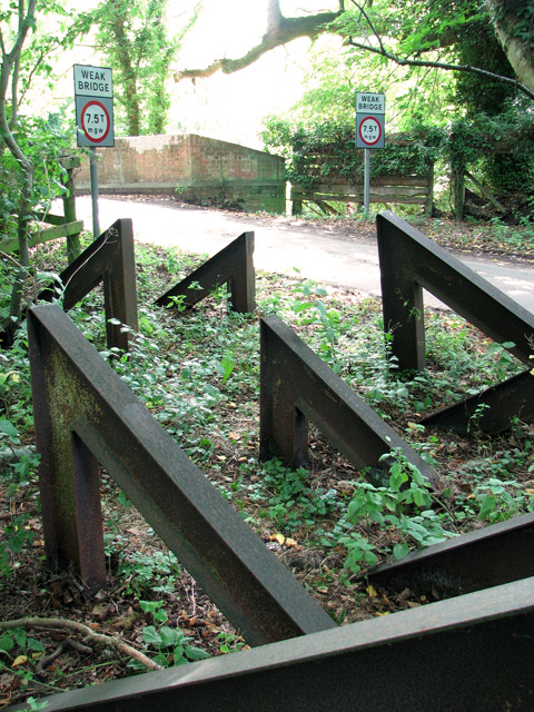
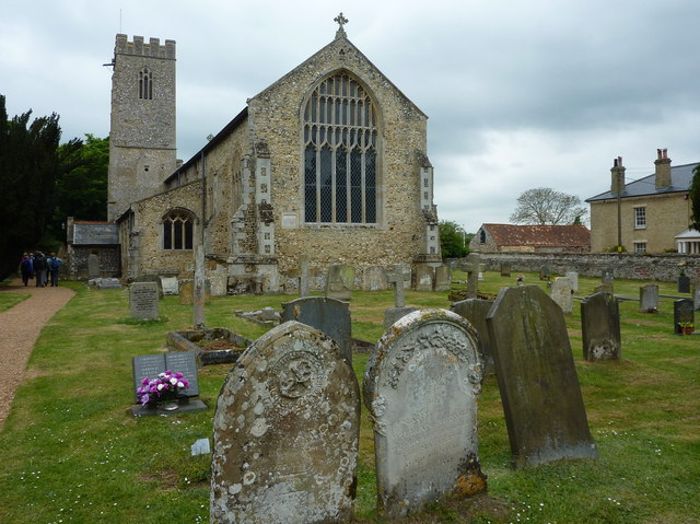
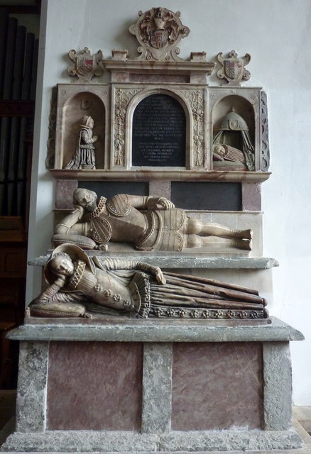
Broadmoor Common Images
Images are sourced within 2km of 52.694676/0.58212554 or Grid Reference TF7413. Thanks to Geograph Open Source API. All images are credited.


Broadmoor Common is located at Grid Ref: TF7413 (Lat: 52.694676, Lng: 0.58212554)
Administrative County: Norfolk
District: King's Lynn and West Norfolk
Police Authority: Norfolk
What 3 Words
///necklaces.steamed.fuzz. Near Narborough, Norfolk
Nearby Locations
Related Wikis
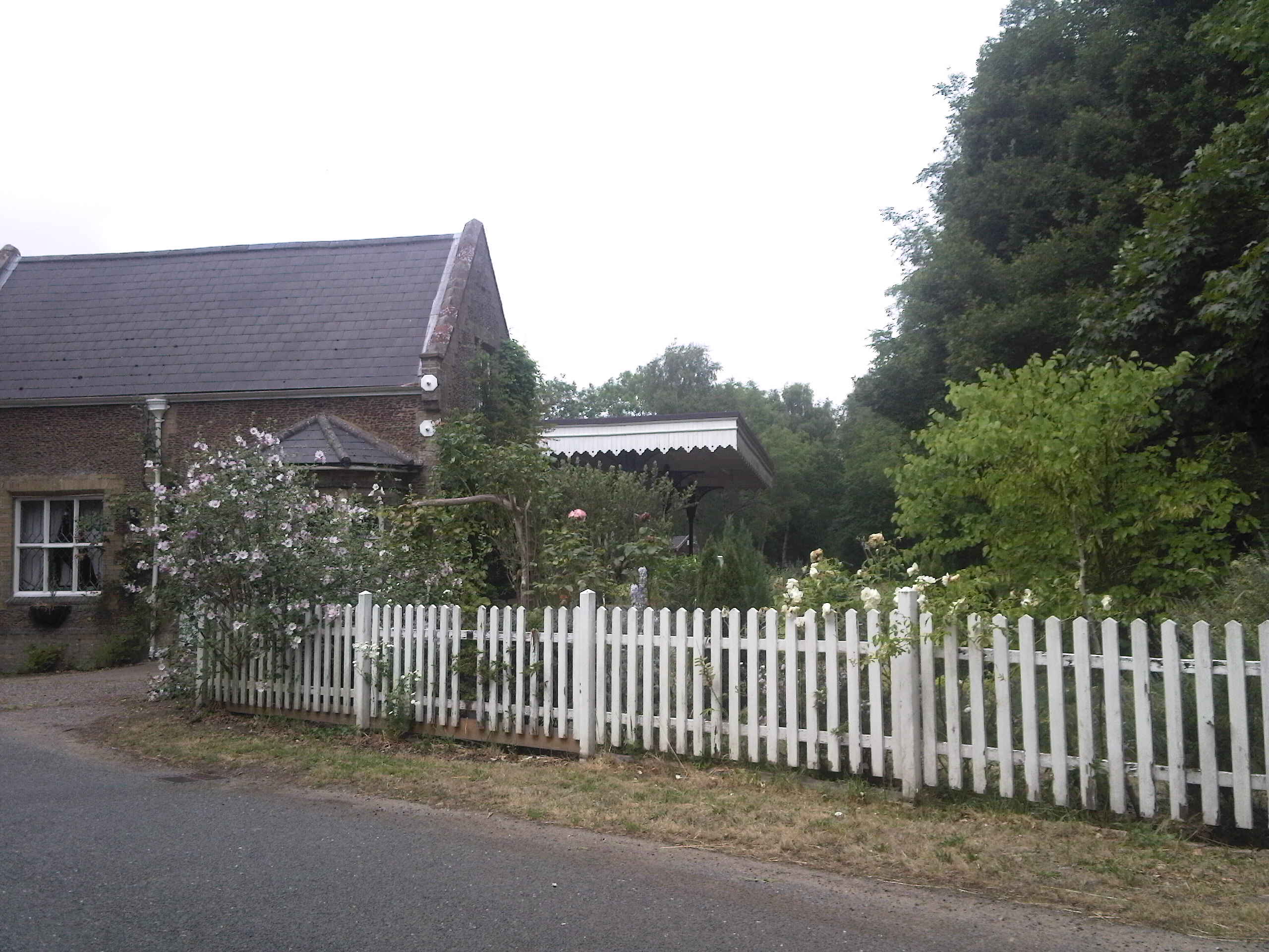
Narborough and Pentney railway station
Narborough and Pentney station was in Norfolk, serving the villages of Narborough and Pentney. == History == It was on the line between King's Lynn and...

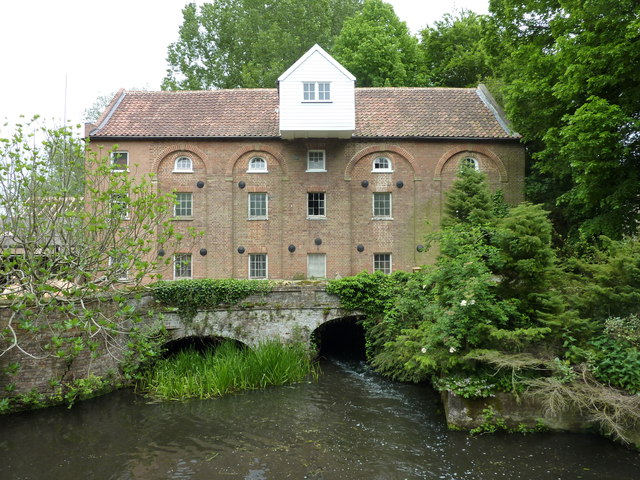
Narborough Watermill
Narborough Watermill is located on the river Nar, within the village of Narborough in the English county of Norfolk. The watermill is thought to have been...
Narborough, Norfolk
Narborough is a village of 1405 hectares in the Breckland district of Norfolk, England, with a population of 1,094 at the 2011 census. It is situated...

East Walton
East Walton is a village in the English county of Norfolk. The village is located 7.8 miles (12.6 km) south-east of King's Lynn and 31 miles (50 km) north...

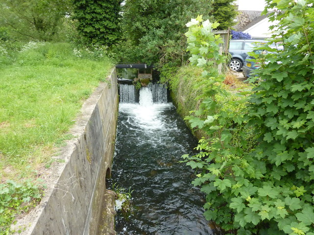
Narborough Bone Mill
Narborough Bone Mill was a watermill that operated on the River Nar in the west of the English county of Norfolk. The watermill was 1 mile (1.6 km) downstream...

Narford
Narford is situated in the Breckland District of Norfolk and covers an area of 970 hectares (3.75 square miles). Narford village has all but disappeared...

East Walton and Adcock's Common
East Walton and Adcock's Common is a 62.4-hectare (154-acre) biological and geological Site of Special Scientific Interest south-east of King's Lynn in...

Bilney railway station
Bilney railway station was located on the line between East Winch and Narborough and Pentney. It served the village of West Bilney, and closed in 1866...
Nearby Amenities
Located within 500m of 52.694676,0.58212554Have you been to Broadmoor Common?
Leave your review of Broadmoor Common below (or comments, questions and feedback).