Big Plantation
Wood, Forest in Norfolk King's Lynn and West Norfolk
England
Big Plantation
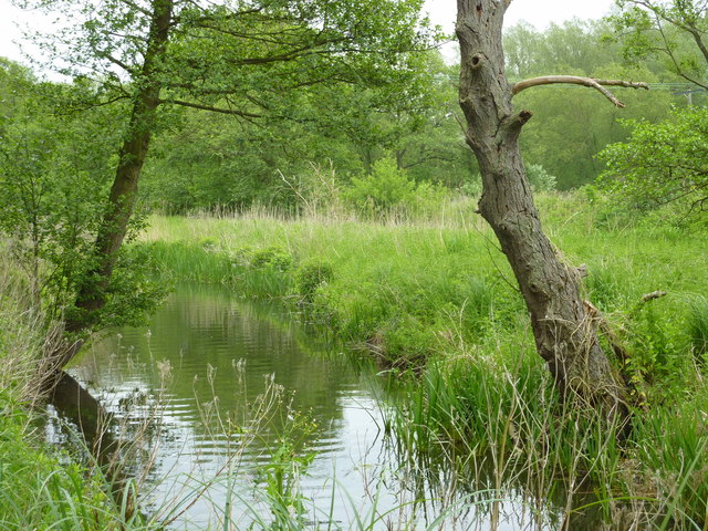
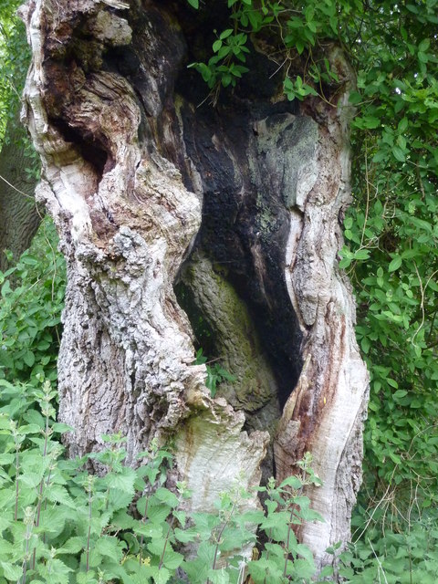
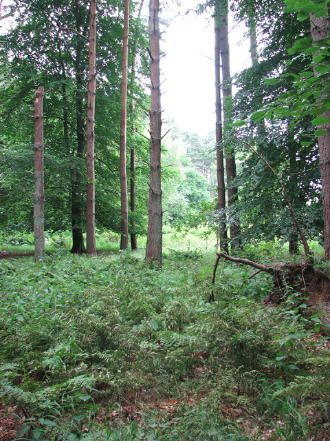
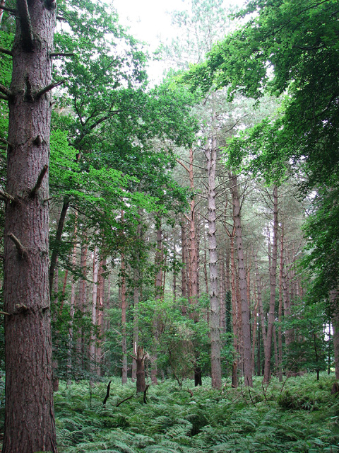
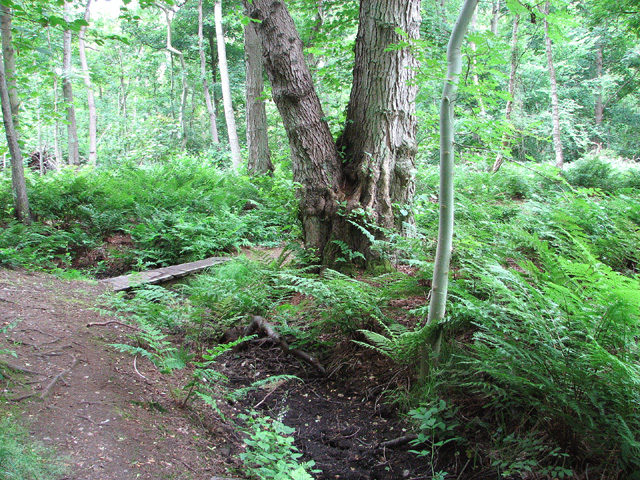
Big Plantation, Norfolk is a sprawling woodland located in the county of Norfolk, England. Covering an extensive area, it is a prominent landscape feature in the region and is often referred to as Wood or Forest by locals. The plantation is known for its dense and diverse vegetation, making it a valuable ecological site.
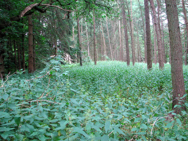
The woodland consists of a variety of tree species, including oak, beech, birch, and pine, creating a rich and vibrant ecosystem. These trees provide a canopy that offers shade and shelter to a multitude of wildlife species, such as deer, foxes, badgers, and birds. The undergrowth is adorned with a multitude of wildflowers, ferns, and mosses, further enhancing the area's natural beauty.
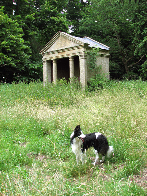
Big Plantation offers numerous opportunities for recreational activities, attracting nature enthusiasts and outdoor adventurers alike. There are well-maintained trails that wind through the woodland, allowing visitors to explore and immerse themselves in the serene and tranquil surroundings. The plantation is also home to a variety of rare and protected plant species, making it of particular interest to botanists and conservationists.
The plantation has a rich historical significance, with records dating back several centuries. It has been managed and preserved by local authorities, ensuring the protection of its natural resources and heritage. Big Plantation provides a peaceful escape from the hustle and bustle of urban life, offering visitors an opportunity to connect with nature and appreciate the beauty of Norfolk's landscape.
If you have any feedback on the listing, please let us know in the comments section below.
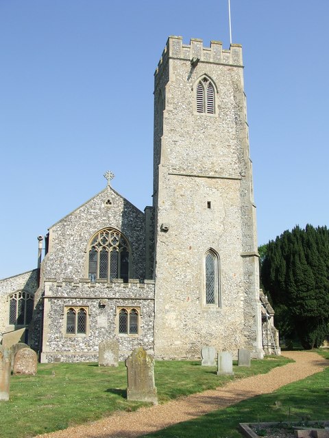
Big Plantation Images
Images are sourced within 2km of 52.694937/0.57632444 or Grid Reference TF7413. Thanks to Geograph Open Source API. All images are credited.


Big Plantation is located at Grid Ref: TF7413 (Lat: 52.694937, Lng: 0.57632444)
Administrative County: Norfolk
District: King's Lynn and West Norfolk
Police Authority: Norfolk
What 3 Words
///pushover.explorer.talking. Near Narborough, Norfolk
Nearby Locations
Related Wikis
Narborough and Pentney railway station
Narborough and Pentney station was in Norfolk, serving the villages of Narborough and Pentney. == History == It was on the line between King's Lynn and...

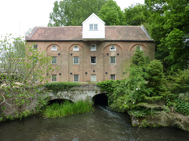
Narborough Watermill
Narborough Watermill is located on the river Nar, within the village of Narborough in the English county of Norfolk. The watermill is thought to have been...
Narborough, Norfolk
Narborough is a village of 1405 hectares in the Breckland district of Norfolk, England, with a population of 1,094 at the 2011 census. It is situated...

Narborough Bone Mill
Narborough Bone Mill was a watermill that operated on the River Nar in the west of the English county of Norfolk. The watermill was 1 mile (1.6 km) downstream...

East Walton
East Walton is a village in the English county of Norfolk. The village is located 7.8 miles (12.6 km) south-east of King's Lynn and 31 miles (50 km) north...
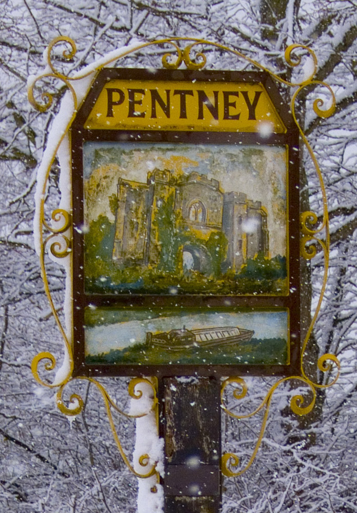
Pentney
Pentney is a village and civil parish in the English county of Norfolk, located about 8 miles (13 km) south east of King's Lynn placing it about halfway...

Bilney railway station
Bilney railway station was located on the line between East Winch and Narborough and Pentney. It served the village of West Bilney, and closed in 1866...

East Walton and Adcock's Common
East Walton and Adcock's Common is a 62.4-hectare (154-acre) biological and geological Site of Special Scientific Interest south-east of King's Lynn in...
Nearby Amenities
Located within 500m of 52.694937,0.57632444Have you been to Big Plantation?
Leave your review of Big Plantation below (or comments, questions and feedback).