Caudle Common
Downs, Moorland in Suffolk West Suffolk
England
Caudle Common

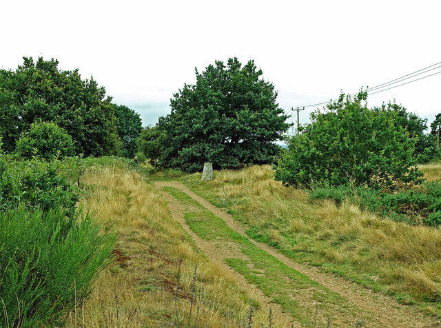
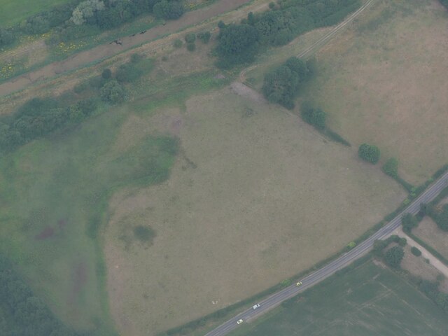
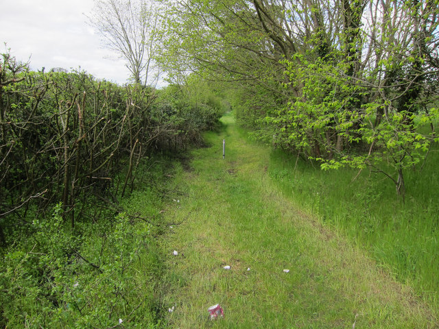
Caudle Common, located in Suffolk, England, is a picturesque area of natural beauty renowned for its idyllic Downs and Moorland landscapes. Covering an extensive area of approximately 500 acres, the common offers a diverse range of habitats and wildlife, attracting nature enthusiasts and visitors alike.
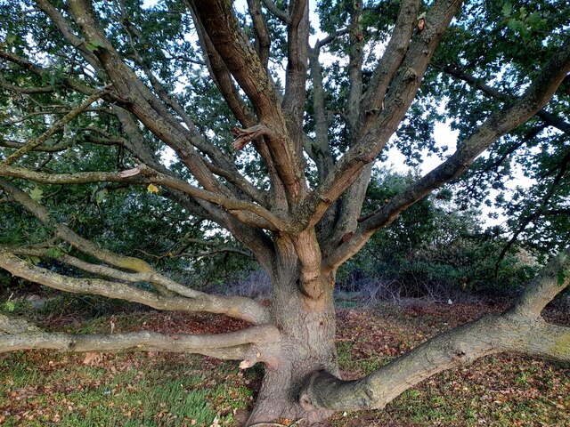
The common is characterized by its gently rolling hills and open grasslands, interspersed with patches of heathland and scattered woodlands. This varied terrain provides a haven for a wide range of flora and fauna, including rare plant species such as heather, gorse, and bracken. The common is also home to a variety of bird species, including skylarks, lapwings, and stonechats, which can be observed throughout the year.
In addition to its natural beauty, Caudle Common also holds historical significance. The area has evidence of human activity dating back several centuries, with archaeological finds including burial mounds and ancient settlements. These historical remnants add to the charm and intrigue of the common, allowing visitors to explore and connect with the area's rich past.
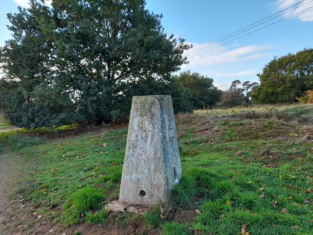
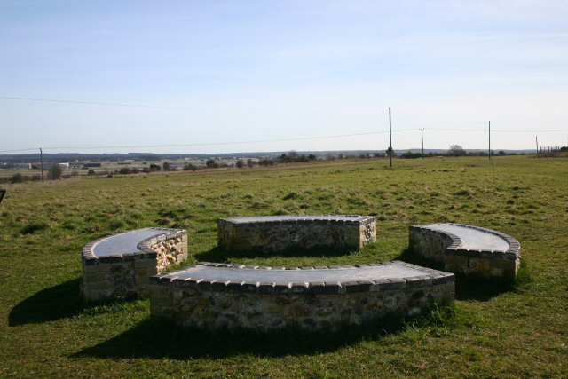
Access to Caudle Common is facilitated by a network of footpaths and trails, enabling visitors to explore the area on foot or by bicycle. The common is a popular spot for outdoor activities such as hiking, picnicking, and wildlife spotting. It also offers breathtaking panoramic views of the surrounding countryside, making it an ideal location for photography and enjoying the tranquility of nature.
Caudle Common, with its stunning landscapes and diverse ecosystems, is a must-visit destination for those seeking a peaceful and immersive experience in the heart of Suffolk's natural beauty.
If you have any feedback on the listing, please let us know in the comments section below.
Caudle Common Images
Images are sourced within 2km of 52.399321/0.53627674 or Grid Reference TL7280. Thanks to Geograph Open Source API. All images are credited.


Caudle Common is located at Grid Ref: TL7280 (Lat: 52.399321, Lng: 0.53627674)
Administrative County: Suffolk
District: West Suffolk
Police Authority: Suffolk
What 3 Words
///lanes.evening.series. Near Lakenheath, Suffolk
Nearby Locations
Related Wikis

Lordswell Field
Lordswell Field or Lord's Well Field is a 3.2-hectare (7.9-acre) biological Site of Special Scientific Interest in Eriswell in Suffolk. It is a Nature...
Maidscross Hill
Maidscross Hill is a 44.8-hectare (111-acre) biological Site of Special Scientific Interest on the eastern outskirts of Lakenheath in Suffolk. It is a...

RAF Lakenheath
Royal Air Force Lakenheath or RAF Lakenheath (IATA: LKZ, ICAO: EGUL) is a Royal Air Force station near the village of Lakenheath in Suffolk, England, UK...
Lakenheath
Lakenheath is a village and civil parish in the West Suffolk district of Suffolk in eastern England. It has a population of 4,691 according to the 2011...

RAF Lakenheath SSSI
RAF Lakenheath is a 111 hectare biological Site of Special Scientific Interest covering parts of RAF Lakenheath Royal Air Force base, east of Lakenheath...

Eriswell Low Warren
Eriswell Low Warren is a 7.4-hectare (18-acre) biological Site of Special Scientific Interest north-east of Eriswell in Suffolk. It is a Nature Conservation...

Lakenheath F.C.
Lakenheath Football Club is a football club based in Lakenheath, Suffolk, England. They are currently members of the Eastern Counties League Premier Division...
Lackford Hundred
Lackford was a hundred of Suffolk, consisting of 83,712 acres (338.77 km2).The hundred fills the north western corner of Suffolk and is triangular in shape...
Nearby Amenities
Located within 500m of 52.399321,0.53627674Have you been to Caudle Common?
Leave your review of Caudle Common below (or comments, questions and feedback).