Bush Heath

Downs, Moorland in Suffolk West Suffolk

England

Bush Heath

A11 junction
A11 junction Credit: Dave Thompson

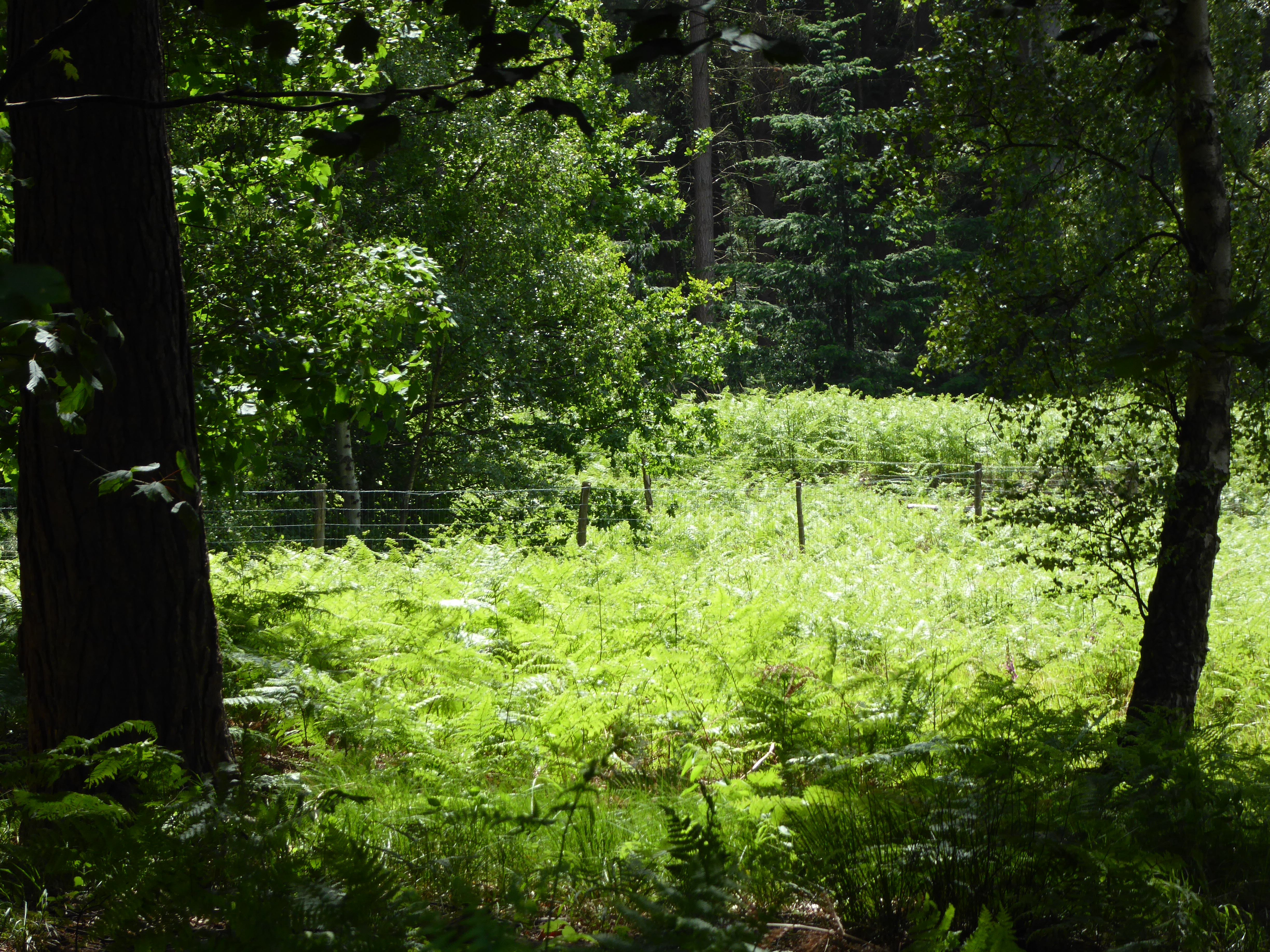
Bush Heath is a picturesque and diverse natural area located in Suffolk, England. It encompasses a wide range of landscapes, including downs and moorland, making it a haven for nature enthusiasts and walkers alike. The site covers an extensive area, providing ample opportunities for exploration and discovery.

The downs in Bush Heath are characterized by rolling hills and open grasslands, offering breathtaking panoramic views of the surrounding countryside. Visitors can witness an array of wildflowers and grasses that flourish in this unique habitat. The downs also provide a habitat for a variety of bird species, such as skylarks and meadow pipits, which can be observed soaring through the open skies.

The moorland section of Bush Heath offers a striking contrast to the downs. Here, visitors can immerse themselves in a wilder and more rugged environment. The moorland is characterized by heather-covered hills and peat bogs, creating a rich and distinctive landscape. This habitat supports a range of unique plant species, including heather, bilberry, and cotton grass. It is also home to a diverse array of birdlife, such as curlews and red grouse.

Bush Heath is a designated Site of Special Scientific Interest (SSSI) due to its exceptional ecological value. It serves as an important refuge for numerous species of flora and fauna, many of which are rare or protected. The area is managed and conserved by local authorities and nature conservation organizations to ensure the preservation of its unique habitats and species.

With its stunning natural beauty and diverse ecosystems, Bush Heath is a true gem in the Suffolk landscape, offering visitors an opportunity to connect with nature and experience the tranquility of the countryside.

If you have any feedback on the listing, please let us know in the comments section below.

Bush Heath Images

Images are sourced within 2km of 52.352744/0.53318254 or Grid Reference TL7275. Thanks to Geograph Open Source API. All images are credited.

A11 junction
A11 junction
Lloyds Bank on High Street Mildenhall
Houses on Field Road, Mildenhall
Field Road, Mildenhall
The Market Cross, Mildenhall Dates from the fifteenth century <span class="nowrap"><a title="https://historicengland.org.uk/listing/the-list/list-entry/1351326?section=official-list-entry" rel="nofollow ugc noopener" href="https://historicengland.org.uk/listing/the-list/list-entry/1351326?section=official-list-entry">Link</a><img style="margin-left:2px;" alt="External link" title="External link - shift click to open in new window" src="https://s1.geograph.org.uk/img/external.png" width="10" height="10"/></span>
The Market Cross, Mildenhall
Dates from the fifteenth century LinkExternal link
Shops and flats, Mildenhall
17 and 19 High Street, Mildenhall Much altered sixteenth century former public house <span class="nowrap"><a title="https://historicengland.org.uk/listing/the-list/list-entry/1285808?section=official-list-entry" rel="nofollow ugc noopener" href="https://historicengland.org.uk/listing/the-list/list-entry/1285808?section=official-list-entry">Link</a><img style="margin-left:2px;" alt="External link" title="External link - shift click to open in new window" src="https://s1.geograph.org.uk/img/external.png" width="10" height="10"/></span>
17 and 19 High Street, Mildenhall
Much altered sixteenth century former public house LinkExternal link
The churchyard, Mildenhall Churchyard here refers to the path and the buildings adjacent to the churchyard itself.
The churchyard, Mildenhall
Churchyard here refers to the path and the buildings adjacent to the churchyard itself.
St. Mary's church, Mildenhall Most of the church was rebuilt in the fifteenth century <span class="nowrap"><a title="https://historicengland.org.uk/listing/the-list/list-entry/1037561?section=official-list-entry" rel="nofollow ugc noopener" href="https://historicengland.org.uk/listing/the-list/list-entry/1037561?section=official-list-entry">Link</a><img style="margin-left:2px;" alt="External link" title="External link - shift click to open in new window" src="https://s1.geograph.org.uk/img/external.png" width="10" height="10"/></span>
St. Mary's church, Mildenhall
Most of the church was rebuilt in the fifteenth century LinkExternal link
The Bell Hotel, Mildenhall The facade dates from the early nineteenth century but hides a building of the sixteenth century <span class="nowrap"><a title="https://historicengland.org.uk/listing/the-list/list-entry/1037568" rel="nofollow ugc noopener" href="https://historicengland.org.uk/listing/the-list/list-entry/1037568">Link</a><img style="margin-left:2px;" alt="External link" title="External link - shift click to open in new window" src="https://s1.geograph.org.uk/img/external.png" width="10" height="10"/></span>
The Bell Hotel, Mildenhall
The facade dates from the early nineteenth century but hides a building of the sixteenth century LinkExternal link
Building on the corner of Mill Street and High Street, Mildenhall Dates from the sixteenth century but much altered <span class="nowrap"><a title="https://historicengland.org.uk/listing/the-list/list-entry/1194419?section=official-list-entry" rel="nofollow ugc noopener" href="https://historicengland.org.uk/listing/the-list/list-entry/1194419?section=official-list-entry">Link</a><img style="margin-left:2px;" alt="External link" title="External link - shift click to open in new window" src="https://s1.geograph.org.uk/img/external.png" width="10" height="10"/></span>
Building on the corner of Mill Street and High Street, Mildenhall
Dates from the sixteenth century but much altered LinkExternal link
22-26 High Street, Mildenhall A nineteenth century facade hides a sixteenth century building <span class="nowrap"><a title="https://historicengland.org.uk/listing/the-list/list-entry/1194207?section=official-list-entry" rel="nofollow ugc noopener" href="https://historicengland.org.uk/listing/the-list/list-entry/1194207?section=official-list-entry">Link</a><img style="margin-left:2px;" alt="External link" title="External link - shift click to open in new window" src="https://s1.geograph.org.uk/img/external.png" width="10" height="10"/></span>
22-26 High Street, Mildenhall
A nineteenth century facade hides a sixteenth century building LinkExternal link
Market Place, Mildenhall The building on the left forms an island in the Market Place.
Market Place, Mildenhall
The building on the left forms an island in the Market Place.
Thai restaurant, Mildenhall Built as a house in the eighteenth century <span class="nowrap"><a title="https://historicengland.org.uk/listing/the-list/list-entry/1037545?section=official-list-entry" rel="nofollow ugc noopener" href="https://historicengland.org.uk/listing/the-list/list-entry/1037545?section=official-list-entry">Link</a><img style="margin-left:2px;" alt="External link" title="External link - shift click to open in new window" src="https://s1.geograph.org.uk/img/external.png" width="10" height="10"/></span>
Thai restaurant, Mildenhall
Built as a house in the eighteenth century LinkExternal link
Shopping centre, Mildenhall Built as part of Mildenhall's town expansion scheme of the 1960s.
Shopping centre, Mildenhall
Built as part of Mildenhall's town expansion scheme of the 1960s.
7-9 Market Place, Mildenhall Late sixteenth century houses <span class="nowrap"><a title="https://historicengland.org.uk/listing/the-list/list-entry/1194330?section=official-list-entry" rel="nofollow ugc noopener" href="https://historicengland.org.uk/listing/the-list/list-entry/1194330?section=official-list-entry">Link</a><img style="margin-left:2px;" alt="External link" title="External link - shift click to open in new window" src="https://s1.geograph.org.uk/img/external.png" width="10" height="10"/></span>
7-9 Market Place, Mildenhall
Late sixteenth century houses LinkExternal link
North side of the Market Place, Mildenhall
Mildenhall Church The tower of St Mary's church, Mildenhall.  The church is Grade I listed, see: <span class="nowrap"><a title="https://historicengland.org.uk/listing/the-list/list-entry/1037561?section=official-list-entry" rel="nofollow ugc noopener" href="https://historicengland.org.uk/listing/the-list/list-entry/1037561?section=official-list-entry">Link</a><img style="margin-left:2px;" alt="External link" title="External link - shift click to open in new window" src="https://s1.geograph.org.uk/img/external.png" width="10" height="10"/></span>
Mildenhall Church
The tower of St Mary's church, Mildenhall. The church is Grade I listed, see: LinkExternal link
Show me another place!

Bush Heath is located at Grid Ref: TL7275 (Lat: 52.352744, Lng: 0.53318254)

Administrative County: Suffolk

District: West Suffolk

Police Authority: Suffolk

What 3 Words

///spooked.pigment.palettes. Near Mildenhall, Suffolk

Related Wikis

Forest Heath District

Forest Heath was a local government district in Suffolk, England. Its council was based in Mildenhall. Other towns in the district included Newmarket...

Rex Graham nature reserve

Rex Graham Reserve is a 2.8-hectare (6.9-acre) biological Site of Special Scientific Interest east of Mildenhall in Suffolk. It is a Special Area of Conservation...

Eriswell

Eriswell is a village and civil parish of West Suffolk in the English county of Suffolk. About forty scattered archaeological finds have been made here...

Mildenhall Town F.C.

Mildenhall Town Football Club is a football club based in Mildenhall, Suffolk. They are currently members of the Eastern Counties League Premier Division...

Barton Mills Valley

Barton Mills Valley is a 10.7 hectare Local Nature Reserve in Mildenhall in Suffolk. It is owned and managed by West Suffolk Council. The site is in Breckland...
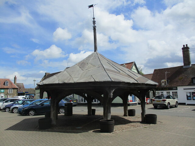
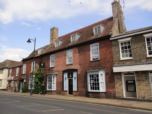
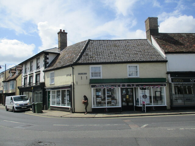
Mildenhall, Suffolk

Mildenhall is a market town and civil parish in Suffolk, England. The town is near the A11 road, and is 37 mi (60 km) north-west of Ipswich, the county...

St Mary's Church, Mildenhall

St Mary's Church is a Grade I listed parish church in the Church of England in Mildenhall, Suffolk. == History == The church is mostly 14th century. Simon...
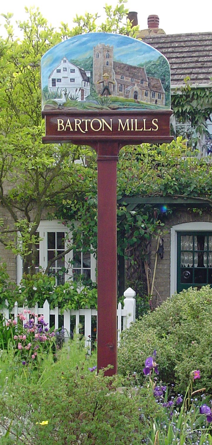
Barton Mills

Barton Mills is a village and civil parish in the West Suffolk district of Suffolk, England. The village is on the south bank of the River Lark. According...

Nearby Amenities

Located within 500m of 52.352744,0.53318254
Bus Stop
Woodlands Way
Bus: yes
Naptan AtcoCode: 390020318
Naptan Bearing: SW
Naptan BusStopType: CUS
Naptan CommonName: Woodlands Way
Naptan Indicator: adj
Naptan Landmark: Woodlands Way
Naptan NaptanCode: sufajtpm
Naptan Street: Brandon Road
Naptan Verified: no
Public Transport: platform
Source: naptan_import
Lat/Long: 52.3501038/0.5338304
Source: Bing
Waterway: weir
Lat/Long: 52.3527612/0.5377809
Power: pole
Lat/Long: 52.3536587/0.5375404
Power: pole
Lat/Long: 52.3529103/0.5293362
Power: pole
Lat/Long: 52.3542271/0.5330677
Power: pole
Lat/Long: 52.3536701/0.531799
Power: pole
Lat/Long: 52.3543985/0.5343343
Power: pole
Lat/Long: 52.3531281/0.5306156
Power: pole
Lat/Long: 52.352627/0.5274767
Power: pole
Lat/Long: 52.3533937/0.5358437
Power: pole
Lat/Long: 52.3528968/0.5262757
Power: pole
Lat/Long: 52.3540099/0.5397915
Power: pole
Source: Bing
Lat/Long: 52.3543499/0.537397
Power: pole
Lat/Long: 52.3511651/0.537386
Power: pole
Lat/Long: 52.3540796/0.5381451
Power: pole
Lat/Long: 52.3541459/0.5394905
Power: pole
Lat/Long: 52.3520711/0.5375604
Power: pole
Lat/Long: 52.3525256/0.5387234
Power: pole
Lat/Long: 52.3492517/0.5370213
Power: pole
Lat/Long: 52.3526645/0.5274761
Power: pole
Lat/Long: 52.3544401/0.5343578
Power: pole
Lat/Long: 52.3531704/0.5305759
Power: pole
Lat/Long: 52.3529283/0.5262905
Power: pole
Lat/Long: 52.3542717/0.5330817
Power: pole
Lat/Long: 52.3529558/0.5293152
Power: pole
Lat/Long: 52.3537079/0.5317614
Source: survey
Lat/Long: 52.3521686/0.5362173
Power: pole
Source: Bing
Lat/Long: 52.3547834/0.5361325
Man Made: water_works
Operator: Anglian Water
Lat/Long: 52.3518445/0.5287669
16 red
Hiking: yes
Information: guidepost
Tourism: information
Lat/Long: 52.3549629/0.5308801
15 red
Hiking: yes
Information: guidepost
Tourism: information
Lat/Long: 52.3562898/0.5347415
Woodlands Park
Tourism: camp_site
Lat/Long: 52.3494818/0.5320994
Power: pole
Lat/Long: 52.3554657/0.5335115
Post Box
Collection Times: Mo-Fr 10:45; Sa 10:00
Post Box Mounting: pier
Post Box Type: lamp
Ref: IP28 2272
Royal Cypher: EIIR
Royal Cypher Wikidata: Q33102113
Lat/Long: 52.350341/0.5332177
17 red, blue
Hiking: yes
Information: guidepost
Tourism: information
Lat/Long: 52.3526375/0.5287251
The data included in this document is from www.openstreetmap.org. The data is made available under ODbL.

Have you been to Bush Heath?

Leave your review of Bush Heath below (or comments, questions and feedback).