Tottenhill Row Common
Downs, Moorland in Norfolk King's Lynn and West Norfolk
England
Tottenhill Row Common

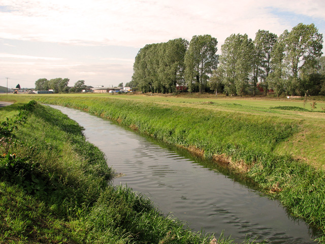
Tottenhill Row Common, located in the county of Norfolk, England, is a beautiful expanse of countryside encompassing downs and moorland landscapes. Spread across an area of approximately 200 acres, this common is a haven for nature enthusiasts and offers a serene escape from the hustle and bustle of urban life.
The common is characterized by gently rolling downs that provide picturesque views of the surrounding countryside. These grassy slopes, adorned with a variety of wildflowers, create a tranquil and idyllic atmosphere. The area is also dotted with patches of heather, adding a splash of vibrant purple hues during the summer months.
In addition to the downs, Tottenhill Row Common is home to vast stretches of moorland. This unique ecosystem is characterized by its wet and acidic soil, which supports a diverse range of plant and animal species. Visitors can explore the moorland and discover an array of rare and protected plants, such as cotton grass, heath spotted-orchid, and bog asphodel.
The common is a popular destination for outdoor activities such as walking, hiking, and birdwatching. The diverse habitats attract a variety of bird species, including skylarks, lapwings, and curlews. Visitors may also encounter other wildlife like hares, rabbits, and various insects.
Tottenhill Row Common offers a peaceful and unspoiled natural environment, providing an opportunity for visitors to connect with nature and enjoy the beauty of Norfolk's countryside. Whether strolling through the downs or exploring the moorland, this common provides a delightful experience for all who venture here.
If you have any feedback on the listing, please let us know in the comments section below.
Tottenhill Row Common Images
Images are sourced within 2km of 52.68034/0.41115084 or Grid Reference TF6311. Thanks to Geograph Open Source API. All images are credited.


Tottenhill Row Common is located at Grid Ref: TF6311 (Lat: 52.68034, Lng: 0.41115084)
Administrative County: Norfolk
District: King's Lynn and West Norfolk
Police Authority: Norfolk
What 3 Words
///crumb.solves.engaging. Near King's Lynn, Norfolk
Nearby Locations
Related Wikis

Setchey SSSI
Setchey SSSI is a 33.4-hectare (83-acre) geological Site of Special Scientific Interest south of King's Lynn in Norfolk. It is a Geological Conservation...
Watlington, Norfolk
Watlington is a village, civil parish and electoral ward in the English county of Norfolk. It covers an area of 6.93 km2 (2.68 sq mi) and had a population...
Tottenhill
Tottenhill is a civil parish in the English county of Norfolk. It covers an area of 5.90 km2 (2.28 sq mi) and had a population of 231 in 97 households...
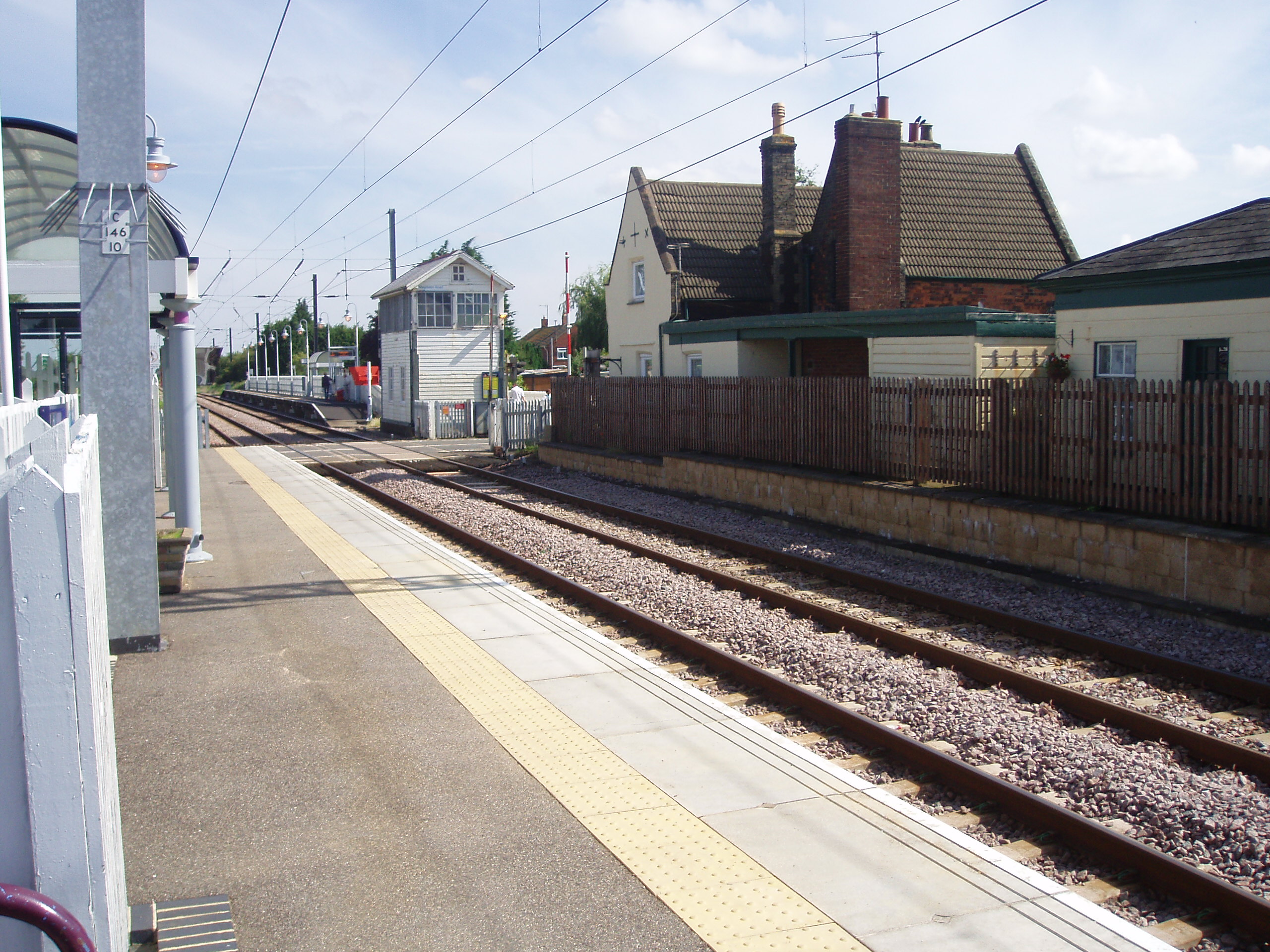
Watlington railway station
Watlington railway station (formerly known as Magdalen Road) is on the Fen line in the east of England, serving the village of Watlington, Norfolk. It...
Nearby Amenities
Located within 500m of 52.68034,0.41115084Have you been to Tottenhill Row Common?
Leave your review of Tottenhill Row Common below (or comments, questions and feedback).