Gravelpit Plantation
Wood, Forest in Norfolk King's Lynn and West Norfolk
England
Gravelpit Plantation
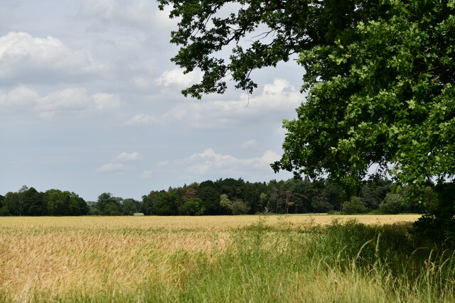
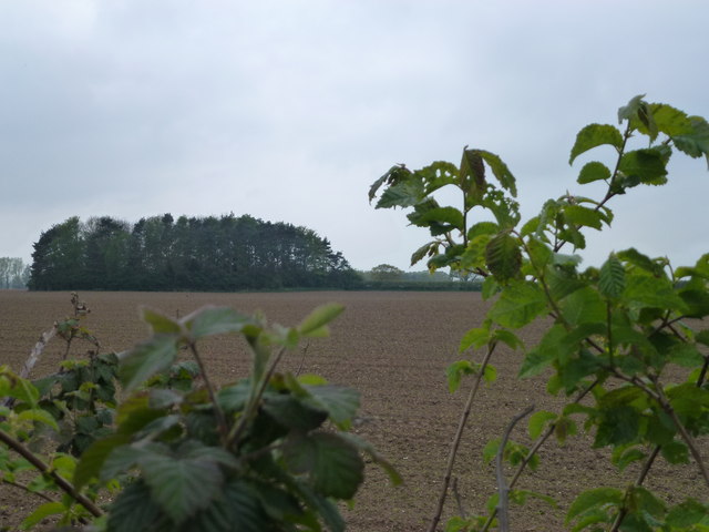
Gravelpit Plantation, located in Norfolk, England, is a charming wood and forest area that offers visitors a tranquil escape from the hustle and bustle of city life. Covering approximately 200 acres, this picturesque plantation is nestled amidst the rolling hills and stunning landscapes of Norfolk.
One of the distinguishing features of Gravelpit Plantation is its abundance of gravel pits, which lend the plantation its name. These pits, which were once used for gravel extraction, have now been transformed into serene lakes, adding to the beauty and serenity of the area. The lakes are home to a variety of aquatic flora and fauna, making it a popular spot for nature enthusiasts and birdwatchers.
The plantation boasts a diverse range of trees, including oak, birch, and beech, which create a dense and lush woodland canopy. Walking trails wind through the plantation, offering visitors the opportunity to explore and appreciate the natural beauty of the area. The plantation is also home to an array of wildlife, with species such as deer, foxes, and various bird species commonly spotted by visitors.
Gravelpit Plantation is a popular destination for outdoor activities such as hiking, cycling, and picnicking. It offers ample space for families and friends to gather and enjoy a day out in nature. With its peaceful ambiance, stunning vistas, and abundant wildlife, Gravelpit Plantation is a must-visit destination for nature lovers and those seeking solace in the heart of Norfolk's woodlands.
If you have any feedback on the listing, please let us know in the comments section below.
Gravelpit Plantation Images
Images are sourced within 2km of 52.674266/0.41356775 or Grid Reference TF6311. Thanks to Geograph Open Source API. All images are credited.


Gravelpit Plantation is located at Grid Ref: TF6311 (Lat: 52.674266, Lng: 0.41356775)
Administrative County: Norfolk
District: King's Lynn and West Norfolk
Police Authority: Norfolk
What 3 Words
///solicitor.twig.backpack. Near Downham Market, Norfolk
Nearby Locations
Related Wikis
Tottenhill
Tottenhill is a civil parish in the English county of Norfolk. It covers an area of 5.90 km2 (2.28 sq mi) and had a population of 231 in 97 households...
Watlington, Norfolk
Watlington is a village, civil parish and electoral ward in the English county of Norfolk. It covers an area of 6.93 km2 (2.68 sq mi) and had a population...

Setchey SSSI
Setchey SSSI is a 33.4-hectare (83-acre) geological Site of Special Scientific Interest south of King's Lynn in Norfolk. It is a Geological Conservation...
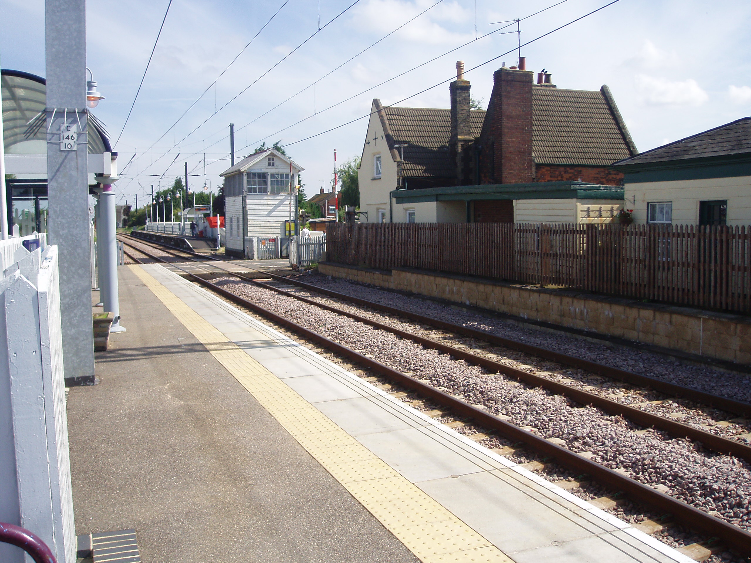
Watlington railway station
Watlington railway station (formerly known as Magdalen Road) is on the Fen line in the east of England, serving the village of Watlington, Norfolk. It...
Runcton Holme
Runcton Holme is a village and civil parish in the English county of Norfolk. It covers an area of 13.89 km2 (5.36 sq mi) and had a population of 676 in...

Wormegay Castle
Wormegay Castle is a motte and bailey earthwork, located next to the village of Wormegay in the English county of Norfolk. == Details == The castle was...

Wormegay
Wormegay is a civil parish in the English county of Norfolk. The village is situated some 9 kilometres (5.6 miles) south of King's Lynn and 60 km (37 mi...

Holme railway station (Norfolk)
Holme railway station was located on the line between Stow Bardolph and Watlington in Norfolk, England. It served the parish of Runcton Holme, and closed...
Nearby Amenities
Located within 500m of 52.674266,0.41356775Have you been to Gravelpit Plantation?
Leave your review of Gravelpit Plantation below (or comments, questions and feedback).