Breed Fen
Downs, Moorland in Cambridgeshire East Cambridgeshire
England
Breed Fen
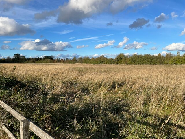
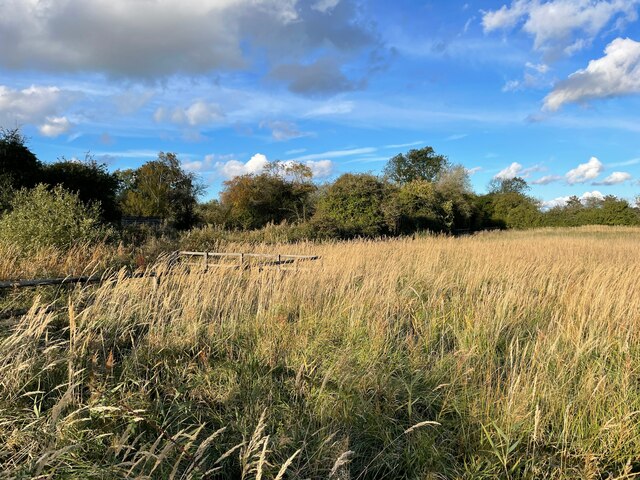
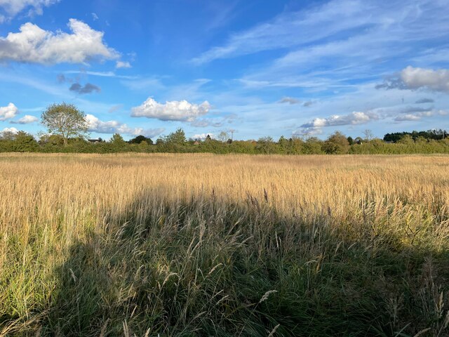
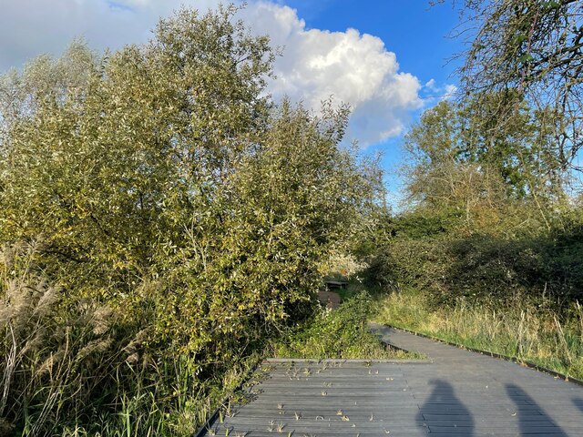
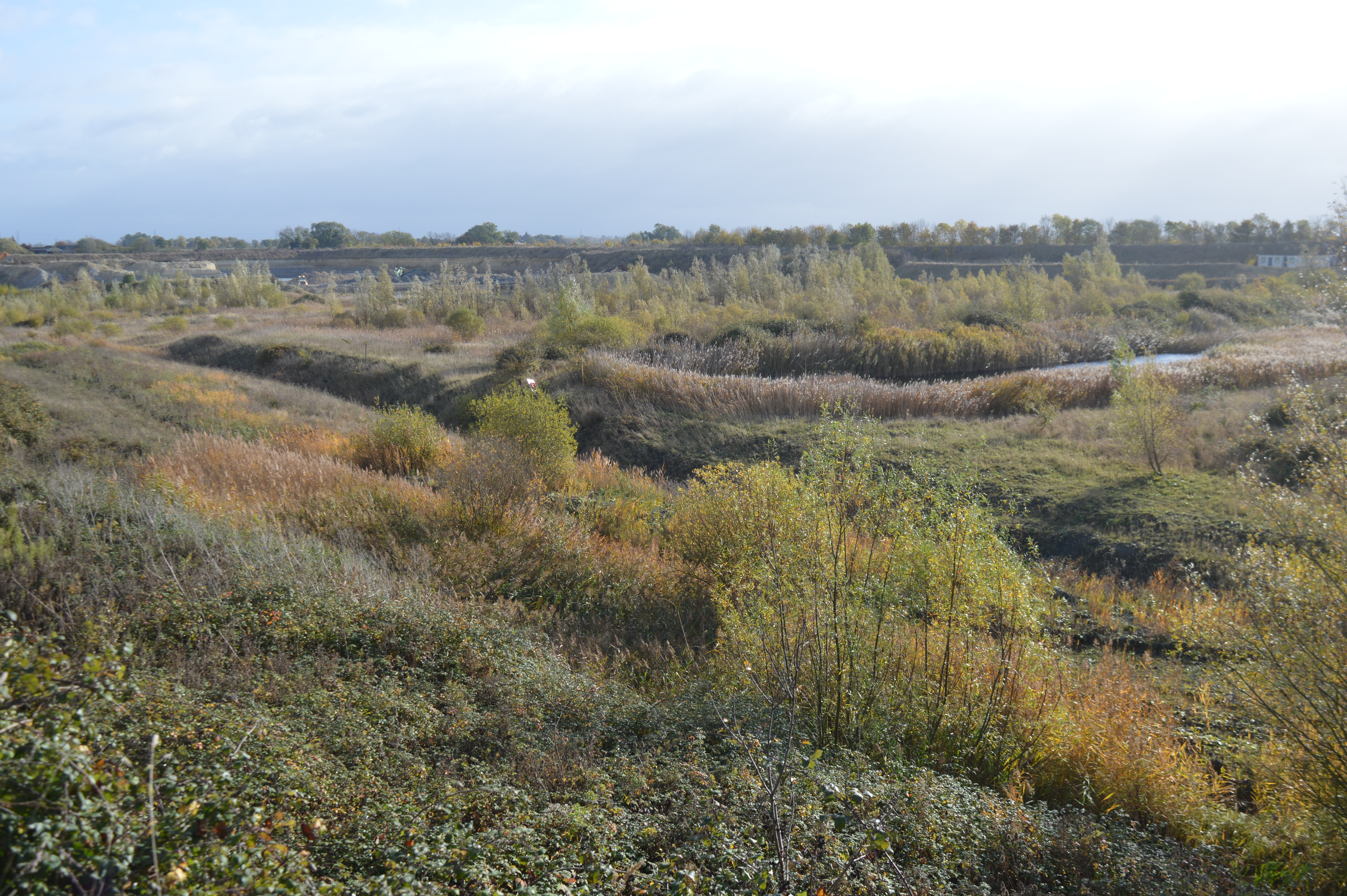
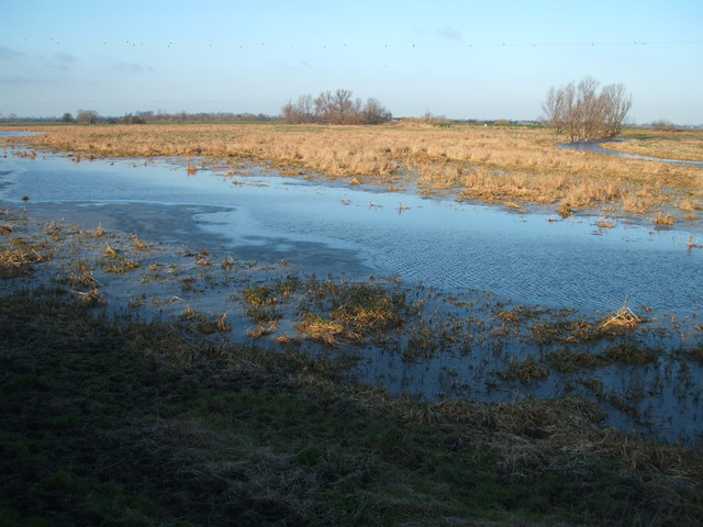
Breed Fen is a small village located in the county of Cambridgeshire, England. Situated on the eastern edge of the fens, this rural settlement is known for its stunning downs and moorland landscapes. The village is surrounded by vast expanses of open fields, marshes, and low-lying areas, providing a picturesque setting for its residents and visitors.
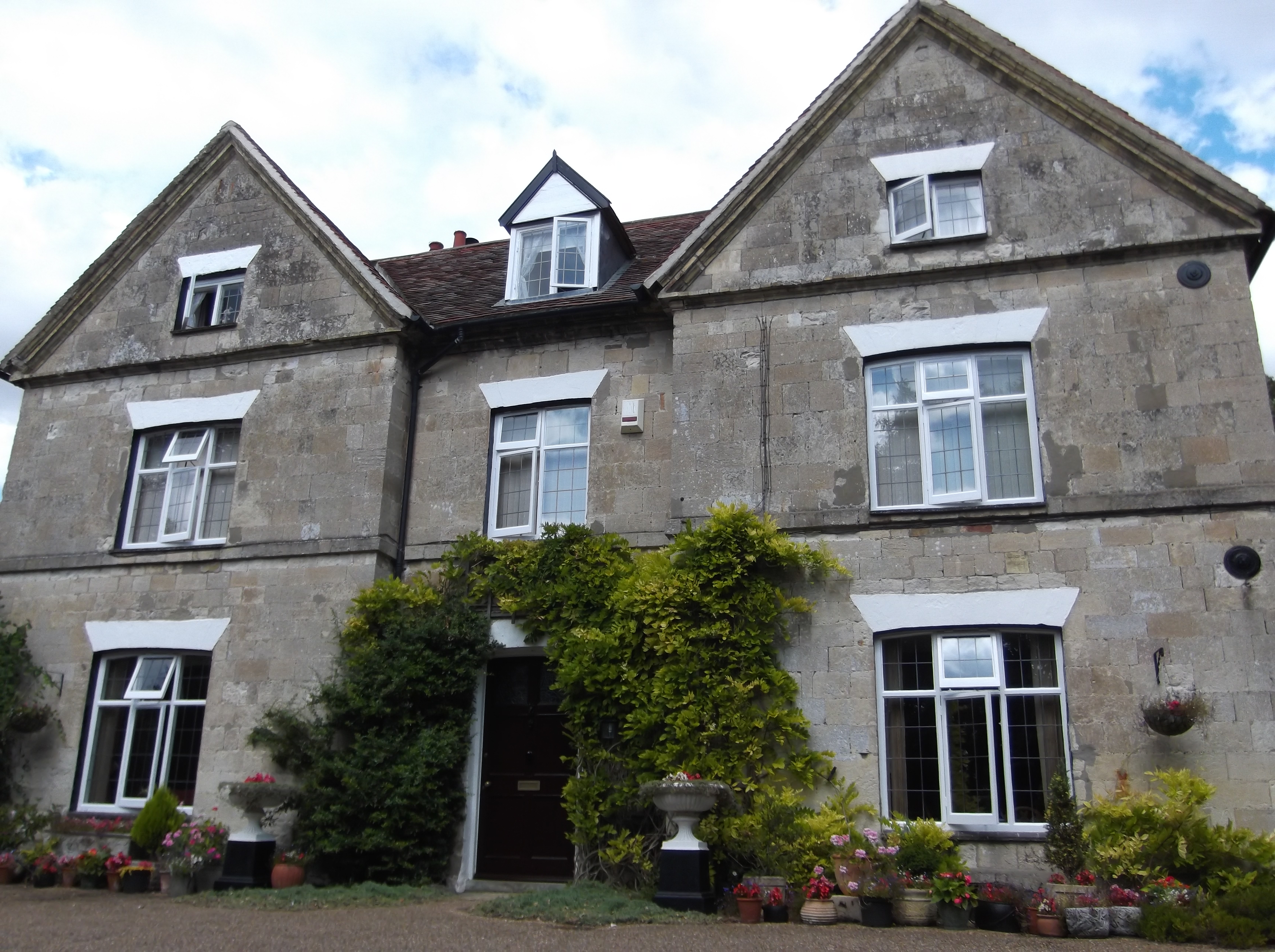
With a population of around 400 people, Breed Fen offers a peaceful and tranquil environment away from the bustling city life. The village is characterized by its traditional English architecture, with charming cottages and farmhouses dotting the landscape. The community is tight-knit, and residents often engage in various social activities such as village fairs and local gatherings.
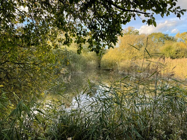
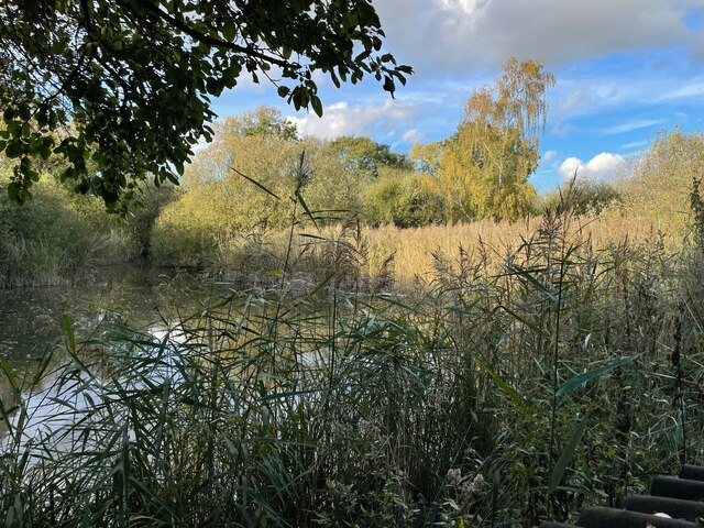
Nature lovers and outdoor enthusiasts are drawn to Breed Fen for its diverse natural beauty. The downs and moorland areas attract hikers, birdwatchers, and wildlife enthusiasts. The landscape is home to a variety of plant and animal species, including the rare fen violet and the secretive fen raft spider.
The village is well-connected to nearby towns and cities via road networks, making it easily accessible for those looking to explore the surrounding areas. Additionally, there are several amenities within a short distance, including shops, schools, and healthcare facilities.
Breed Fen offers a unique blend of rural charm and natural beauty, making it an ideal destination for those seeking a peaceful retreat or an escape into nature.
If you have any feedback on the listing, please let us know in the comments section below.
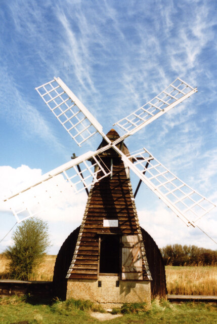
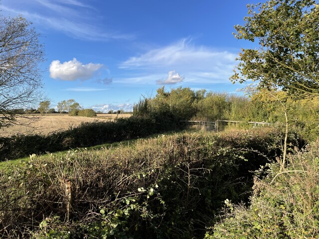
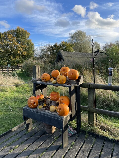
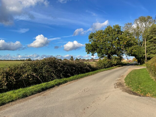
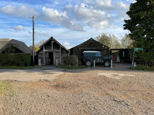
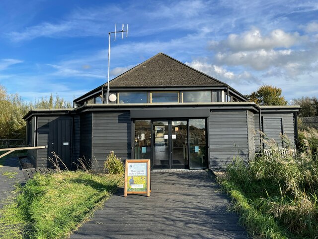
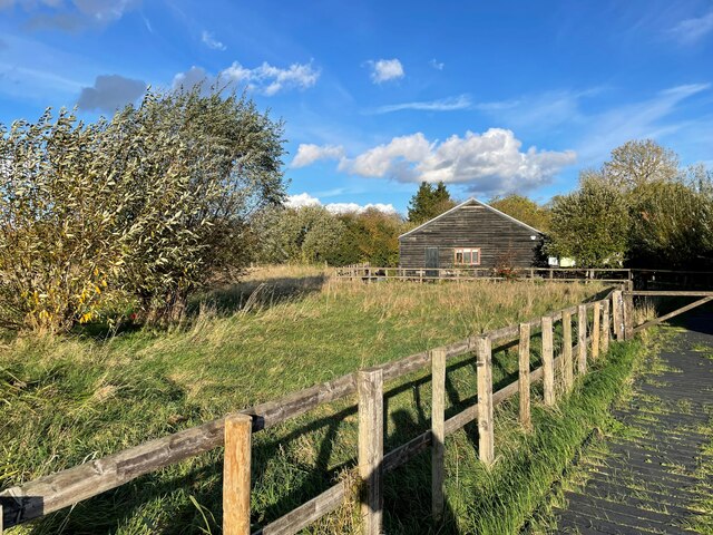
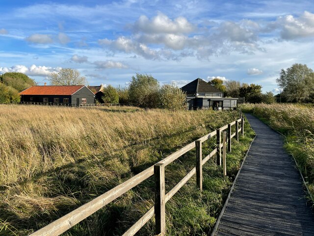
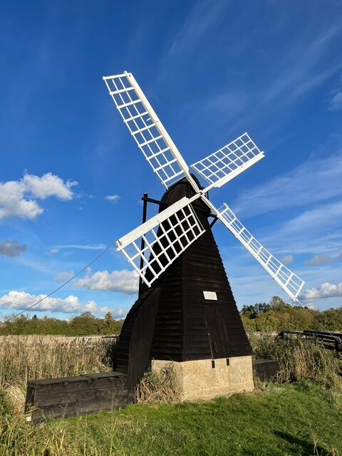
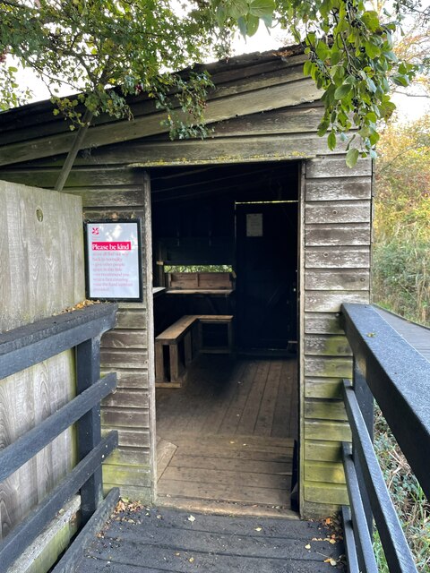
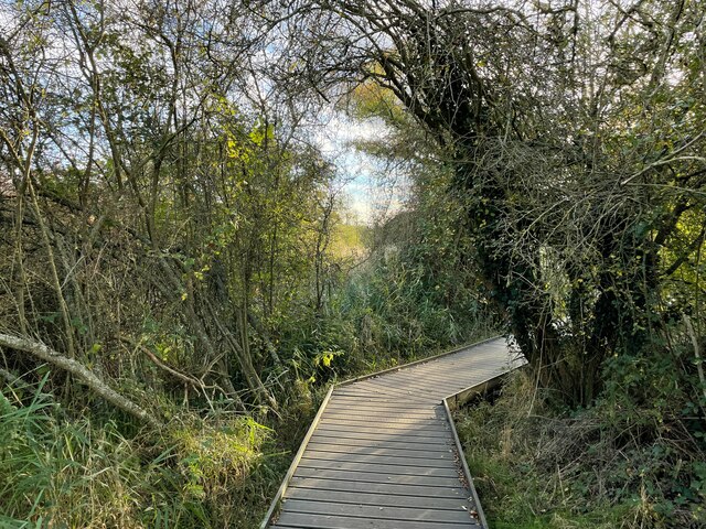
Breed Fen Images
Images are sourced within 2km of 52.313354/0.2879929 or Grid Reference TL5670. Thanks to Geograph Open Source API. All images are credited.

Breed Fen is located at Grid Ref: TL5670 (Lat: 52.313354, Lng: 0.2879929)
Administrative County: Cambridgeshire
District: East Cambridgeshire
Police Authority: Cambridgeshire
What 3 Words
///handle.fidgeting.restriction. Near Soham, Cambridgeshire
Nearby Locations
Related Wikis

Wicken, Cambridgeshire
Wicken is a small village on the edge of The Fens near Soham in East Cambridgeshire, ten miles north east of Cambridge and five miles south of Ely. It...

Wicken Fen
Wicken Fen is a 254.5-hectare (629-acre) biological Site of Special Scientific Interest west of Wicken in Cambridgeshire. It is also a National Nature...
Spinney Abbey
Spinney Abbey, originally known as Spinney Priory, is a house and farm on the site of a former monastic foundation close to the village of Wicken, on the...

Upware South Pit
Upware South Pit is a 1.1-hectare (2.7-acre) geological Site of Special Scientific Interest (SSSI) north of Upware in Cambridgeshire. It is a Geological...

Upware
Upware is a village in Wicken civil parish, part of East Cambridgeshire, England, lying on the east bank of the River Cam. == History == Situated in the...
Upware Bridge Pit North
Upware Bridge Pit North is a 2.5-hectare (6.2-acre) geological Site of Special Scientific Interest northwest of Wicken in Cambridgeshire. It is a Geological...
Cam Washes
Cam Washes is a 166.5-hectare (411-acre) biological Site of Special Scientific Interest west of Wicken in Cambridgeshire.This site on the banks of the...

Upware North Pit
Upware North Pit is a 1.1-hectare (2.7-acre) biological Site of Special Scientific Interest north-west of Wicken in Cambridgeshire.This site has several...
Nearby Amenities
Located within 500m of 52.313354,0.2879929Have you been to Breed Fen?
Leave your review of Breed Fen below (or comments, questions and feedback).