Broad Fen
Downs, Moorland in Norfolk King's Lynn and West Norfolk
England
Broad Fen

Broad Fen is a picturesque and ecologically diverse region located in the county of Norfolk, England. Known for its vast expanse of low-lying moorland and downs, Broad Fen offers a unique and captivating landscape for visitors to explore.
With an area spanning several square miles, Broad Fen is home to a variety of flora and fauna, making it a haven for nature enthusiasts and wildlife lovers. The fen is characterized by its wet, peat-rich soil, which supports a wide range of plant species, including reeds, sedges, and marsh orchids. These wetland habitats provide a crucial breeding ground for numerous bird species, such as the bittern, marsh harrier, and kingfisher.
The gently undulating downs of Broad Fen offer breathtaking views of the surrounding countryside. These open grasslands are home to an array of wildflowers, including harebells, cowslips, and orchids, which create a colorful carpet during the summer months. The downs are also frequented by grazing livestock, contributing to the pastoral charm of the area.
In addition to its natural beauty, Broad Fen boasts a rich cultural heritage. The area has a long history of human settlement, with archaeological evidence suggesting occupation dating back to the Neolithic period. Visitors can explore ancient burial mounds, Bronze Age barrows, and remnants of Roman settlements, gaining insight into the region's past.
Whether it's birdwatching, hiking, or simply immersing oneself in the tranquility of the countryside, Broad Fen offers a captivating experience for nature enthusiasts and history buffs alike.
If you have any feedback on the listing, please let us know in the comments section below.
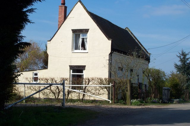
Broad Fen Images
Images are sourced within 2km of 52.673426/0.30818505 or Grid Reference TF5610. Thanks to Geograph Open Source API. All images are credited.


Broad Fen is located at Grid Ref: TF5610 (Lat: 52.673426, Lng: 0.30818505)
Administrative County: Norfolk
District: King's Lynn and West Norfolk
Police Authority: Norfolk
What 3 Words
///monitors.skewing.tougher. Near Terrington St John, Norfolk
Nearby Locations
Related Wikis
Middle Drove railway station
Middle Drove was a railway station which served the nearby village of Tilney Fen End (situated 1 mile to the north northeast) near Downham Market in Norfolk...

Magdalen Gate railway station
Magdalen Gate railway station was located on the line between Middle Drove and Watlington. It served the parish of Wiggenhall St Mary Magdalen, and closed...

Tilney St Lawrence
Tilney St Lawrence is a village and a civil parish in the English county of Norfolk The village is 52.3 miles (84.2 km) west of Norwich, 9.7 miles (15...

Wiggenhall St Mary Magdalen
Wiggenhall St Mary Magdalen is a civil parish and village in the English county of Norfolk. It is 6 miles (9.7 km) south of the town of King's Lynn on...
Have you been to Broad Fen?
Leave your review of Broad Fen below (or comments, questions and feedback).