South Croft Field
Downs, Moorland in Norfolk King's Lynn and West Norfolk
England
South Croft Field
South Croft Field is a picturesque area located in Norfolk, England. Situated in the region known as Downs, Moorland, it is known for its stunning natural beauty and rich biodiversity. Covering an expansive area of land, South Croft Field is a mecca for nature enthusiasts and wildlife lovers.
The field is characterized by its rolling hills, lush green meadows, and diverse flora and fauna. It is home to a wide variety of plant species, including wildflowers, grasses, and shrubs. The vibrant colors and fragrant scents of the flowers make the field a delightful sight during the blooming season.
The field also serves as a habitat for numerous animal species. Birdwatchers can spot a range of avian species, including songbirds, birds of prey, and waterfowl. Small mammals, such as rabbits and squirrels, can be seen scurrying around the field, while larger mammals like deer are occasionally spotted grazing in the distance.
Furthermore, South Croft Field offers a tranquil escape from the hustle and bustle of city life. Its peaceful atmosphere and scenic landscapes make it an ideal location for walking, picnicking, and photography. The field is crisscrossed by pathways, allowing visitors to explore its various nooks and crannies at their own pace.
Overall, South Croft Field in Norfolk is a natural haven that showcases the beauty of the English countryside. Its diverse flora and fauna, combined with its serene ambiance, make it a must-visit destination for nature enthusiasts and those seeking solace in the great outdoors.
If you have any feedback on the listing, please let us know in the comments section below.
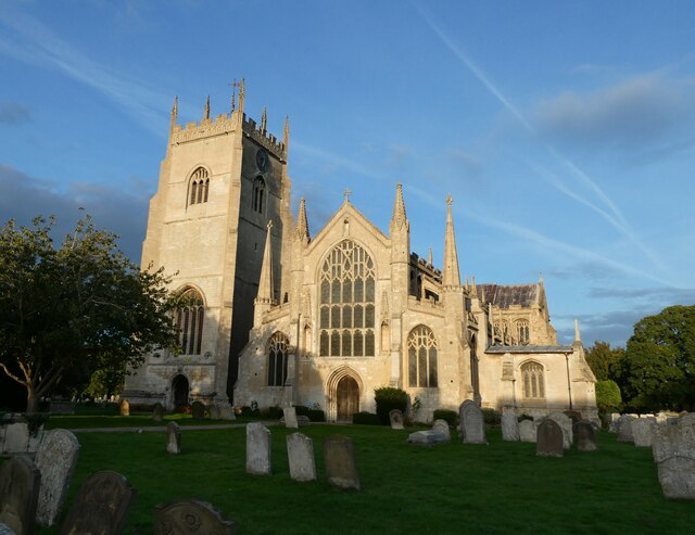
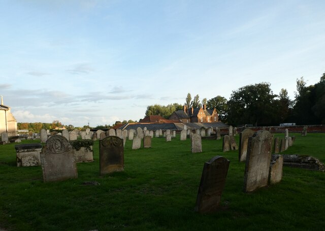
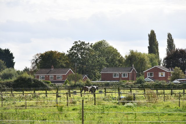
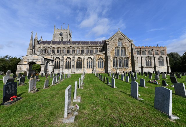
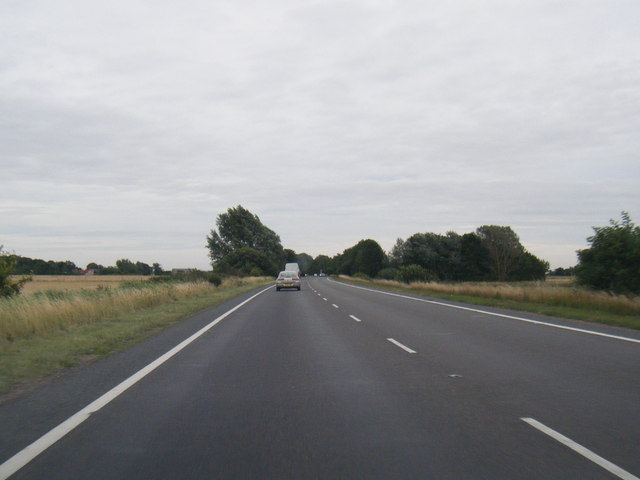
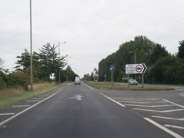
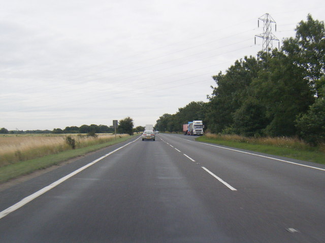
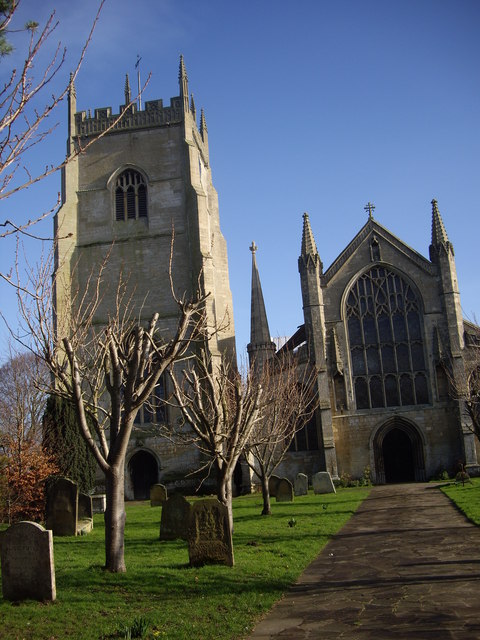
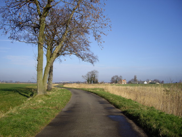
South Croft Field Images
Images are sourced within 2km of 52.746865/0.28935085 or Grid Reference TF5419. Thanks to Geograph Open Source API. All images are credited.


South Croft Field is located at Grid Ref: TF5419 (Lat: 52.746865, Lng: 0.28935085)
Administrative County: Norfolk
District: King's Lynn and West Norfolk
Police Authority: Norfolk
What 3 Words
///joints.flotation.orange. Near Terrington St Clement, Norfolk
Nearby Locations
Related Wikis

Terrington railway station
Terrington railway station is a former station in Terrington St Clement, Norfolk. It opened in 1866 and was closed in 1959. It was on the Midland and Great...

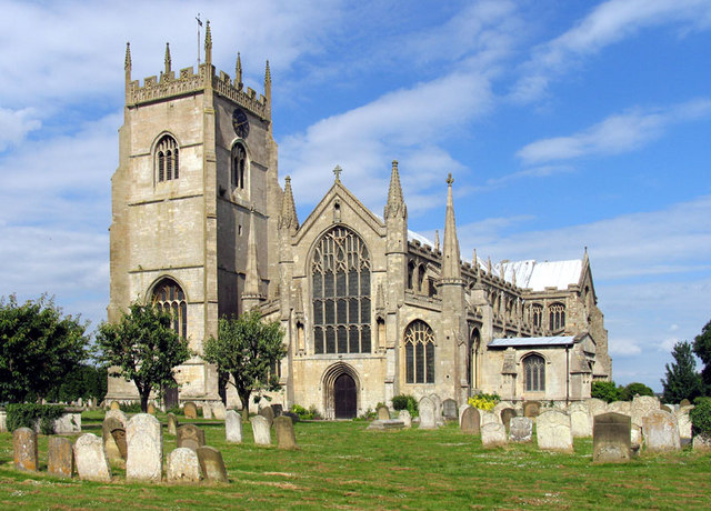
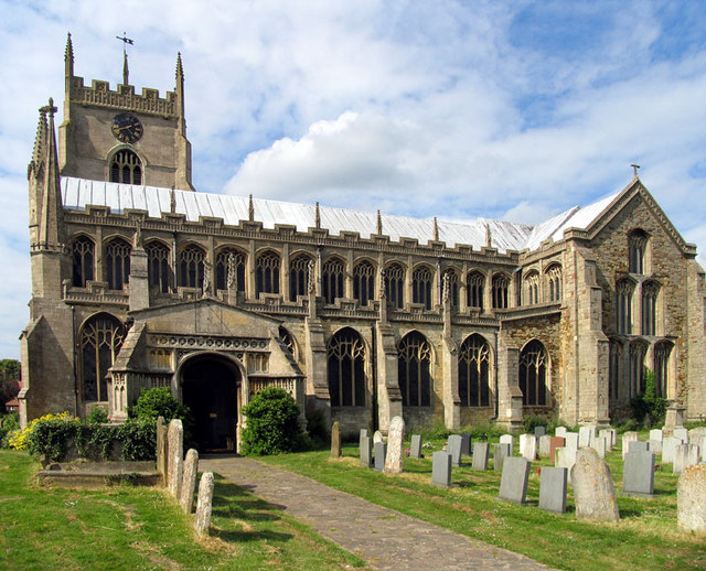
Terrington St Clement
Terrington St Clement is a village and civil parish in King's Lynn and West Norfolk borough and district in Norfolk, England. It is in the drained marshlands...
Bellmount
Bellmount is a village in Norfolk, England.
St Clement's High School
St Clement's High School is a coeducational secondary school with academy status, located in the village of Terrington St Clement, in the English county...

Tilney All Saints
Tilney All Saints is a civil parish in the English county of Norfolk. It covers an area of 11.56 km2 (4.46 sq mi) and had a population of 563 in 230 households...
Clenchwarton railway station
Clenchwarton Railway Station is a former train station in Clenchwarton, Norfolk. It was part of the Midland and Great Northern Joint Railway line from...
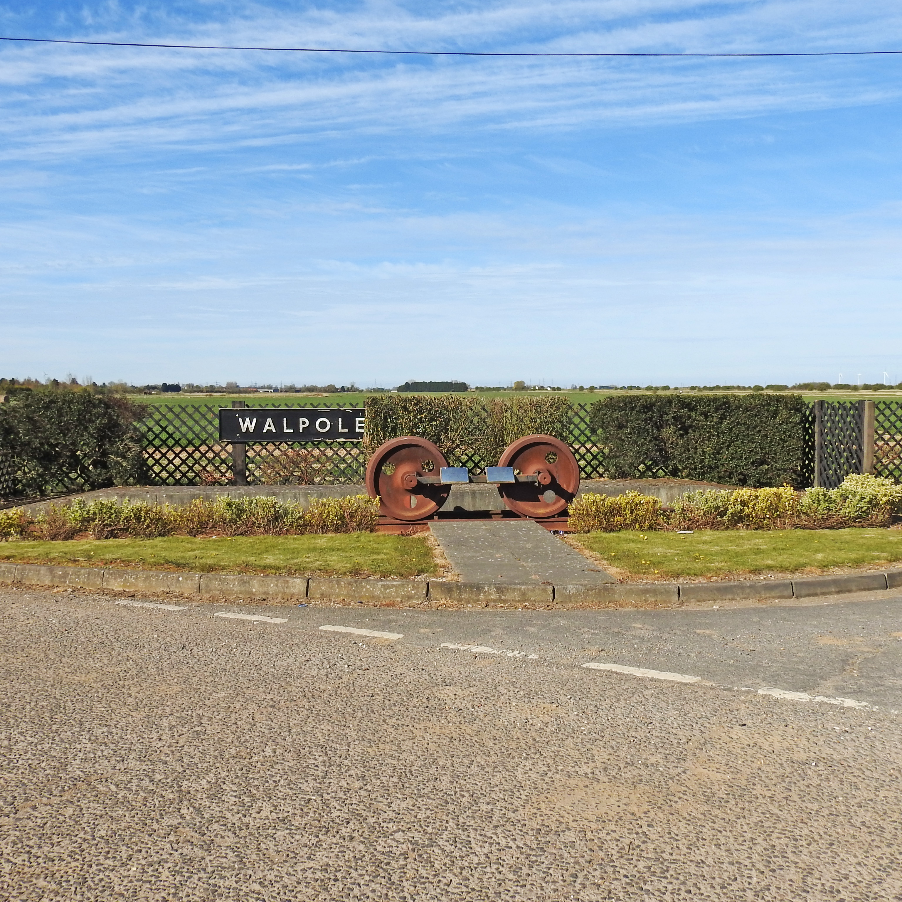
Walpole railway station (England)
Walpole railway station was a station in Norfolk. It is now disused. First opened in 1882, it was part of the Midland and Great Northern Joint Railway...
Walpole Cross Keys
Walpole Cross Keys is a village and civil parish in the English county of Norfolk. It covers an area of 4.03 km2 (1.56 sq mi) and had a population of 469...
Nearby Amenities
Located within 500m of 52.746865,0.28935085Have you been to South Croft Field?
Leave your review of South Croft Field below (or comments, questions and feedback).