Antioch Field

Downs, Moorland in Norfolk King's Lynn and West Norfolk

England

Antioch Field

The Church of St Lawrence, Tilney St Lawrence
The Church of St Lawrence, Tilney St Lawrence Credit: Bill Henderson

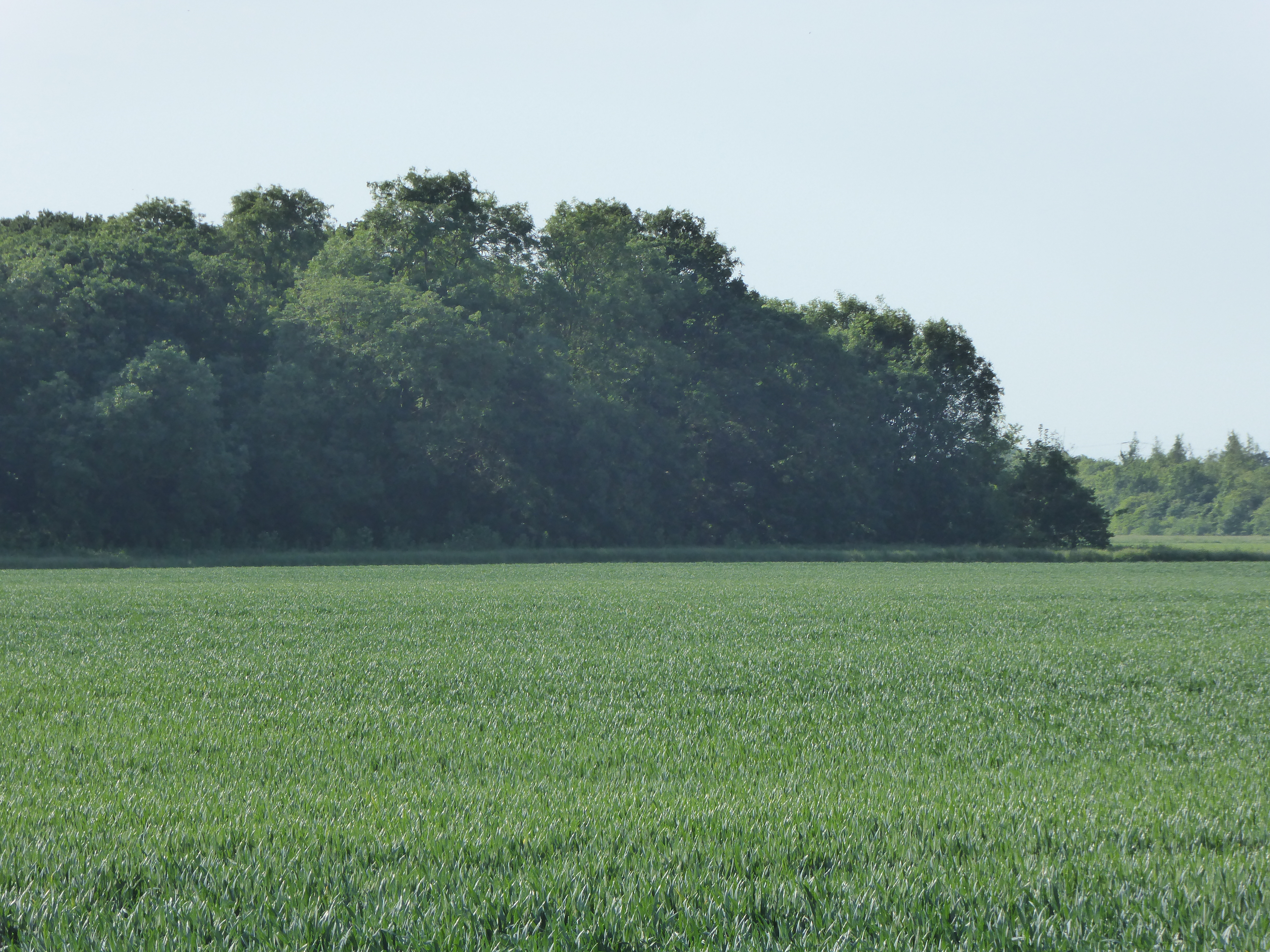
Antioch Field, also known as Norfolk Downs or Moorland, is a vast open space located in Norfolk, England. Stretching over an area of approximately 200 acres, this field is a popular destination for locals and visitors alike.

Antioch Field is characterized by its lush green meadows, rolling hills, and picturesque landscapes. It offers a tranquil and serene environment, making it an ideal spot for leisurely walks, picnics, and outdoor activities. The field is surrounded by natural hedgerows and scattered trees, providing shade and a habitat for various bird species.

The field is also home to a variety of wildlife, including rabbits, foxes, and occasional deer sightings. It is not uncommon to see birdwatchers exploring the area to observe the diverse avian population that inhabits the field.

The field is equipped with well-maintained footpaths that allow visitors to explore its entirety. These paths are suitable for walking, jogging, or cycling, making it a perfect location for exercise enthusiasts. Additionally, the field offers ample space for outdoor games such as football, cricket, and Frisbee.

Antioch Field is a place of natural beauty and tranquility, providing a peaceful escape from the bustle of urban life. Its accessibility, scenic views, and recreational opportunities make it a cherished destination for both locals and tourists seeking a retreat into nature.

If you have any feedback on the listing, please let us know in the comments section below.

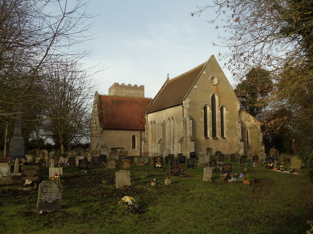
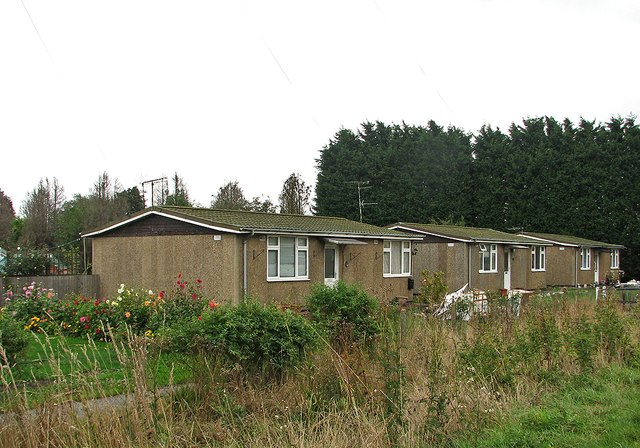
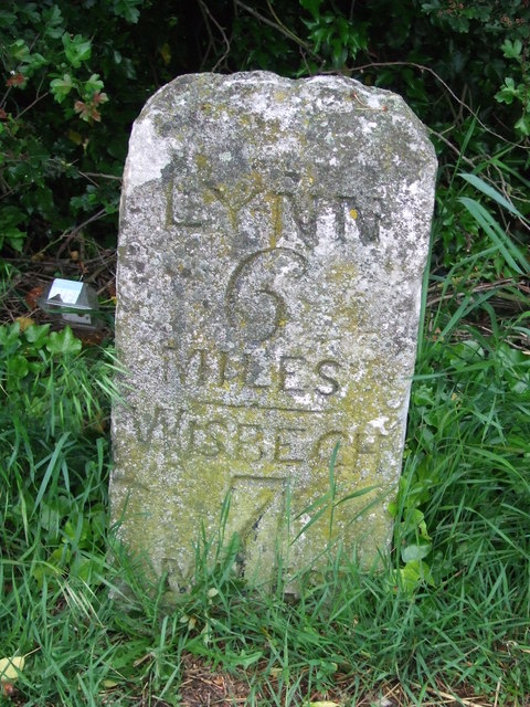
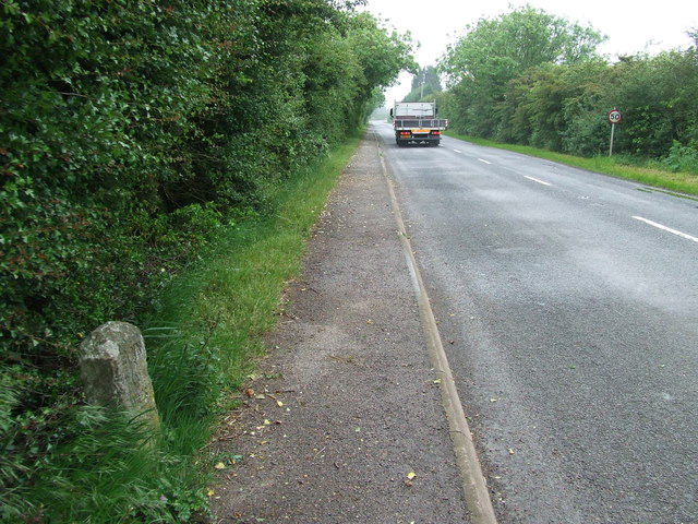
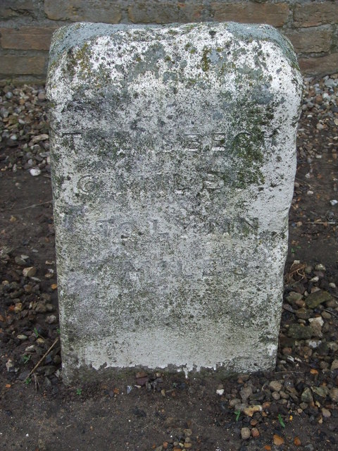
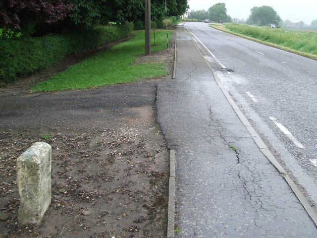
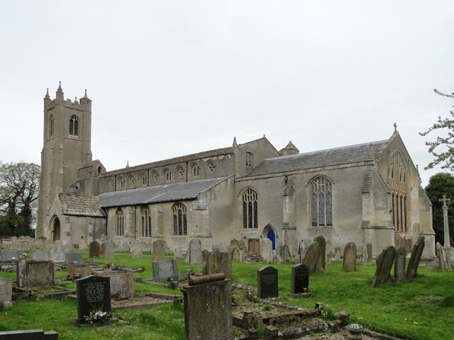
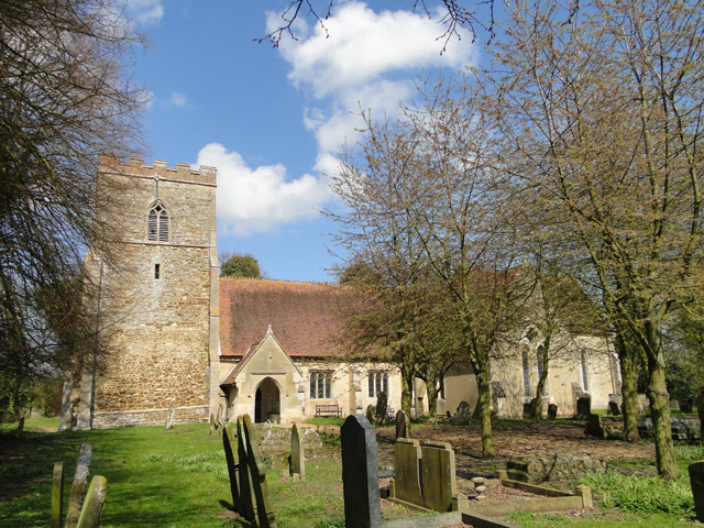
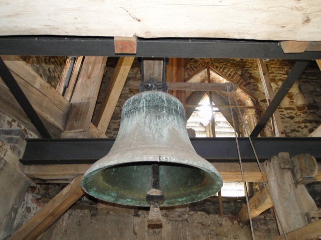
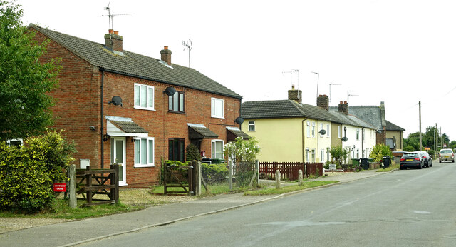
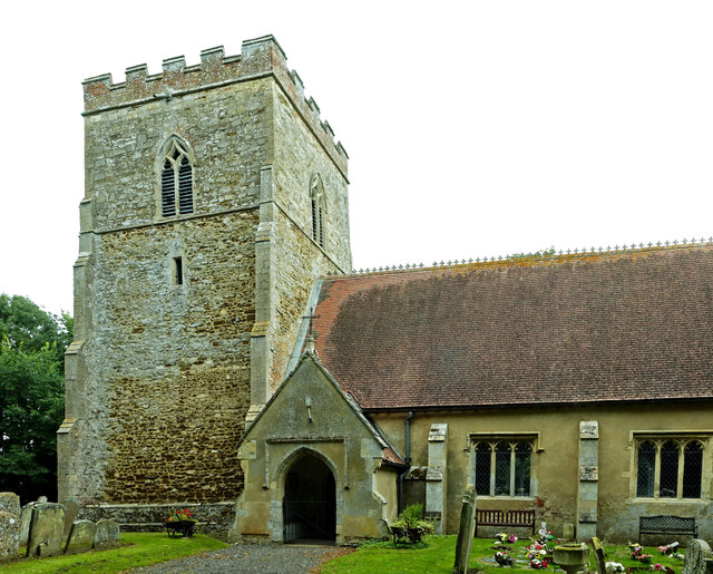
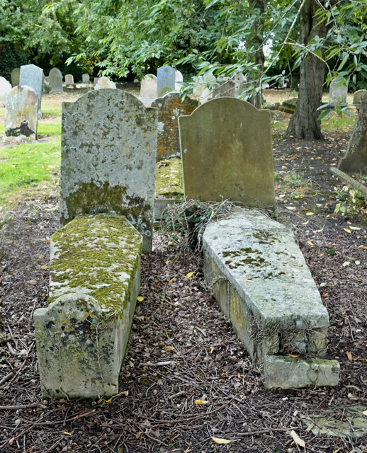
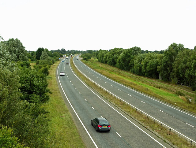
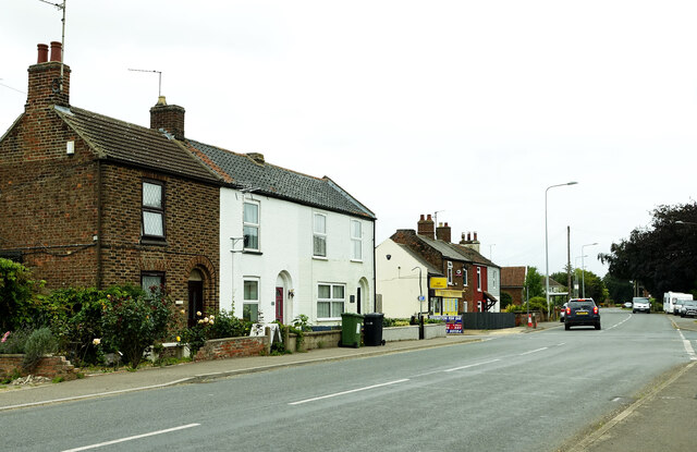
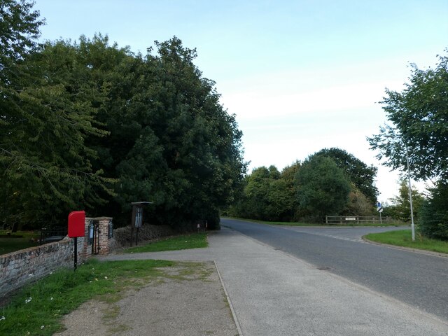
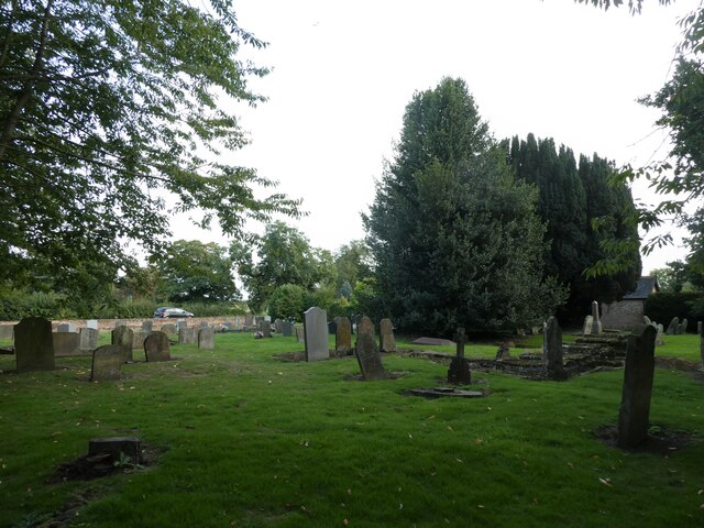
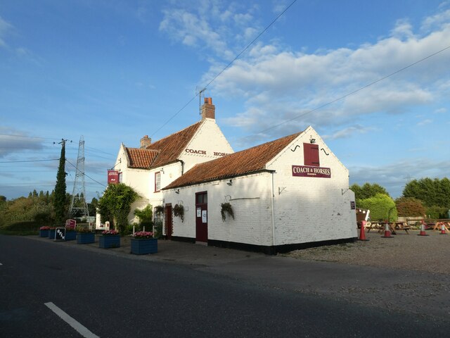
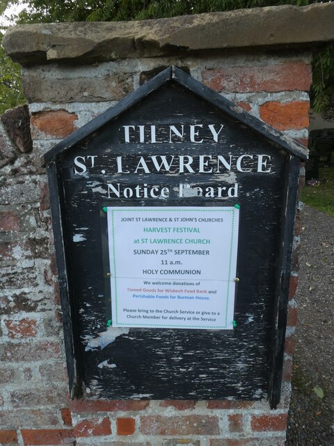
Antioch Field Images

Images are sourced within 2km of 52.711576/0.28733967 or Grid Reference TF5415. Thanks to Geograph Open Source API. All images are credited.

The Church of St Lawrence, Tilney St Lawrence
Tilney St Lawrence: prefabs and windbreak On Magdalen Road east of the centre of this fenland village. The picture was taken on a rainy October afternoon drained of colour.
Tilney St Lawrence: prefabs and windbreak
On Magdalen Road east of the centre of this fenland village. The picture was taken on a rainy October afternoon drained of colour.
Old Milestone Old milestone on what was part of the A.47 near to Terrington St. John, Norfolk.  For overall view see <a title="https://www.geograph.org.uk/photo/4005915" href="https://www.geograph.org.uk/photo/4005915">Link</a>
Old Milestone
Old milestone on what was part of the A.47 near to Terrington St. John, Norfolk. For overall view see Link
Kings Lynn 6 Wisbech 7 Old milestone on what was part of the A.47 near to Terrington St. John, Norfolk. For close up view see <a title="https://www.geograph.org.uk/photo/4005896" href="https://www.geograph.org.uk/photo/4005896">Link</a>
Kings Lynn 6 Wisbech 7
Old milestone on what was part of the A.47 near to Terrington St. John, Norfolk. For close up view see Link
Old Milestone Old milestone on what was part of the A.47 near to St.Johns Highway. For overall view see <a title="https://www.geograph.org.uk/photo/4005942" href="https://www.geograph.org.uk/photo/4005942">Link</a>
Old Milestone
Old milestone on what was part of the A.47 near to St.Johns Highway. For overall view see Link
To Wisbech 6 Miles To Lynn 7 Miles Old milestone on what was part of the A.47 near to St. Johns Highway, Norfolk. For close up view see <a title="https://www.geograph.org.uk/photo/4005926" href="https://www.geograph.org.uk/photo/4005926">Link</a>
To Wisbech 6 Miles To Lynn 7 Miles
Old milestone on what was part of the A.47 near to St. Johns Highway, Norfolk. For close up view see Link
Terrington St. John's church The 15th c. tower with 13th c. base, at one time was 16 ft distant from the church but it was joined to the nave by the ‘Priests House’, probably built in Tudor times, which gives access to the ringing chamber and nave roof from the nave. A walk around the building will reveal, unusually,  that there were low side windows in the north and south walls. Dating from the 14th c. the church is definitely the poor relation of the two Terrington churches with little of real historical interest remaining after extensive Victorian restoration and refurbishment throughout. The font is 17th c. and has floral decoration around the bowl. A flatness of the nave roof such as this is rarely encountered. The Royal Arms are of George III but are covered with discoloured plastic sheet and barely visible.
Terrington St. John's church
The 15th c. tower with 13th c. base, at one time was 16 ft distant from the church but it was joined to the nave by the ‘Priests House’, probably built in Tudor times, which gives access to the ringing chamber and nave roof from the nave. A walk around the building will reveal, unusually, that there were low side windows in the north and south walls. Dating from the 14th c. the church is definitely the poor relation of the two Terrington churches with little of real historical interest remaining after extensive Victorian restoration and refurbishment throughout. The font is 17th c. and has floral decoration around the bowl. A flatness of the nave roof such as this is rarely encountered. The Royal Arms are of George III but are covered with discoloured plastic sheet and barely visible.
Tilney St. Lawrence church The nave, chancel and transepts create a cruciform church with a west tower which was given a spire in the 1846 restoration, this has since been dismantled. The transepts were completely rebuilt during the same restoration. It has left a rather uninspiring church with little of interest. When I visited I found the door to the belfry stair turret open and ventured into the bell chamber, which has lovely old timbers and a single bell. <a title="https://www.geograph.org.uk/photo/4338987" href="https://www.geograph.org.uk/photo/4338987">Link</a> A starkly plain font, a white-painted stone pulpit, and row upon row of dull benches. On the south wall are the Royal Arms of James I, which are worth the visit but do need some restoration. Three lancet windows in the east end appear strangely inadequate but are supplemented by large windows in the aisles and chancel walls. In the chancel  is a plain trefoil piscina and dropped-sill sedilia.
Tilney St. Lawrence church
The nave, chancel and transepts create a cruciform church with a west tower which was given a spire in the 1846 restoration, this has since been dismantled. The transepts were completely rebuilt during the same restoration. It has left a rather uninspiring church with little of interest. When I visited I found the door to the belfry stair turret open and ventured into the bell chamber, which has lovely old timbers and a single bell. Link A starkly plain font, a white-painted stone pulpit, and row upon row of dull benches. On the south wall are the Royal Arms of James I, which are worth the visit but do need some restoration. Three lancet windows in the east end appear strangely inadequate but are supplemented by large windows in the aisles and chancel walls. In the chancel is a plain trefoil piscina and dropped-sill sedilia.
Tilney St. Lawrence church bell One of the bells in the bell chamber.
Tilney St. Lawrence church bell
One of the bells in the bell chamber.
Entering Tilney St Lawrence Entering the village on Magdalen Road in dull summer weather.
Entering Tilney St Lawrence
Entering the village on Magdalen Road in dull summer weather.
Tilney St Lawrence Church A lovely old church with some interesting stones in the graveyard. For more information about the building, see <a href="https://www.geograph.org.uk/photo/4338985">TF5414 : Tilney St. Lawrence church</a>
Tilney St Lawrence Church
A lovely old church with some interesting stones in the graveyard. For more information about the building, see TF5414 : Tilney St. Lawrence church
Tilney St Lawrence Church Graveyard The graveyard holds some fascinating stones including some that are coffin-shaped and coffin-sized. It’s unlikely that they actually contain bodies.
Tilney St Lawrence Church Graveyard
The graveyard holds some fascinating stones including some that are coffin-shaped and coffin-sized. It’s unlikely that they actually contain bodies.
Crossing the A47 Viewed from New Road looking towards Terrington St John.
Crossing the A47
Viewed from New Road looking towards Terrington St John.
Terrington St John Shops and houses in the village centre.
Terrington St John
Shops and houses in the village centre.
Postbox outside Tilney St Lawrence Parish Church During a great walking week-end in Norfolk with two friends from my school days (1972 - 1979) there were times when I nipped off in the car to look at churches and other historical features: these are they!
Postbox outside Tilney St Lawrence Parish Church
During a great walking week-end in Norfolk with two friends from my school days (1972 - 1979) there were times when I nipped off in the car to look at churches and other historical features: these are they!
Tilney St Lawrence: churchyard During a great walking week-end in Norfolk with two friends from my school days (1972 - 1979) there were times when I nipped off in the car to look at churches and other historical features: these are they!
Tilney St Lawrence: churchyard
During a great walking week-end in Norfolk with two friends from my school days (1972 - 1979) there were times when I nipped off in the car to look at churches and other historical features: these are they!
The Coach and Horses, Tilney High End: mid-September 2022 During a great walking week-end in Norfolk with two friends from my school days (1972 - 1979) there were times when I nipped off in the car to look at churches and other historical features: these are they!
The Coach and Horses, Tilney High End: mid-September 2022
During a great walking week-end in Norfolk with two friends from my school days (1972 - 1979) there were times when I nipped off in the car to look at churches and other historical features: these are they!
Tilney St Lawrence: noticeboard
Show me another place!

Antioch Field is located at Grid Ref: TF5415 (Lat: 52.711576, Lng: 0.28733967)

Administrative County: Norfolk

District: King's Lynn and West Norfolk

Police Authority: Norfolk

What 3 Words

///briskly.maker.difficult. Near Terrington St John, Norfolk

Related Wikis

Tilney St Lawrence

Tilney St Lawrence is a village and a civil parish in the English county of Norfolk The village is 52.3 miles (84.2 km) west of Norwich, 9.7 miles (15...

Terrington St John

Terrington St John is a village and civil parish in the English county of Norfolk. The village lies to the south of the route of the A47 between Peterborough...

Islington Heronry

Islington Heronry is a 1.3-hectare (3.2-acre) biological Site of Special Scientific Interest south-west of King's Lynn Norfolk.This stand of mature oaks...

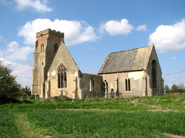
St Mary's Church, Islington, Norfolk

St Mary's Church is a ruined redundant Anglican church in the civil parish of Tilney St Lawrence, Norfolk, England. It is recorded in the National Heritage...

Walpole Highway

Walpole Highway is a village and civil parish in the English county of Norfolk. It covers an area of 10.48 km2 (4.05 sq mi) and had a population of 685...

Tilney All Saints

Tilney All Saints is a civil parish in the English county of Norfolk. It covers an area of 11.56 km2 (4.46 sq mi) and had a population of 563 in 230 households...

St Mary the Virgin's Church, Wiggenhall

St Mary the Virgin's Church is a redundant Anglican church in the civil parish of Wiggenhall St Germans, Norfolk, England. It is recorded in the National...

Terrington railway station

Terrington railway station is a former station in Terrington St Clement, Norfolk. It opened in 1866 and was closed in 1959. It was on the Midland and Great...

Nearby Amenities

Located within 500m of 52.711576,0.28733967
Parking
Description: Layby
Ele: 0.6065674
Lat/Long: 52.7111277/0.2855865
Parking
Lat/Long: 52.7115589/0.2860758
Post Box
Operator: Royal Mail
Post Box Mounting: pier
Post Box Type: lamp
Royal Cypher: EIIR
Royal Cypher Wikidata: Q33102113
Lat/Long: 52.7089335/0.2929457
Bench
Backrest: yes
Lat/Long: 52.709189/0.2922334
Bench
Backrest: yes
Colour: brown
Inscription: yes
Material: wood
Lat/Long: 52.7091911/0.292175
Entrance: yes
Lat/Long: 52.7092556/0.2919625
Entrance: main
Lat/Long: 52.7091746/0.292102
Give Way
Lat/Long: 52.7091027/0.2931614
Power: pole
Lat/Long: 52.710877/0.2939513
Power: pole
Lat/Long: 52.7099955/0.2938843
The data included in this document is from www.openstreetmap.org. The data is made available under ODbL.

Have you been to Antioch Field?

Leave your review of Antioch Field below (or comments, questions and feedback).