Pindars Newland Field
Downs, Moorland in Norfolk King's Lynn and West Norfolk
England
Pindars Newland Field
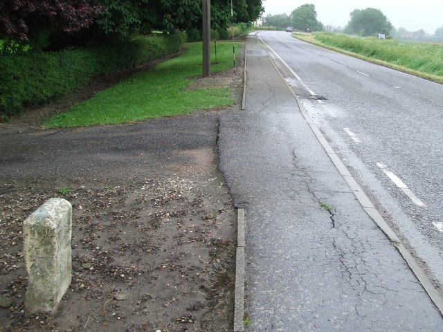
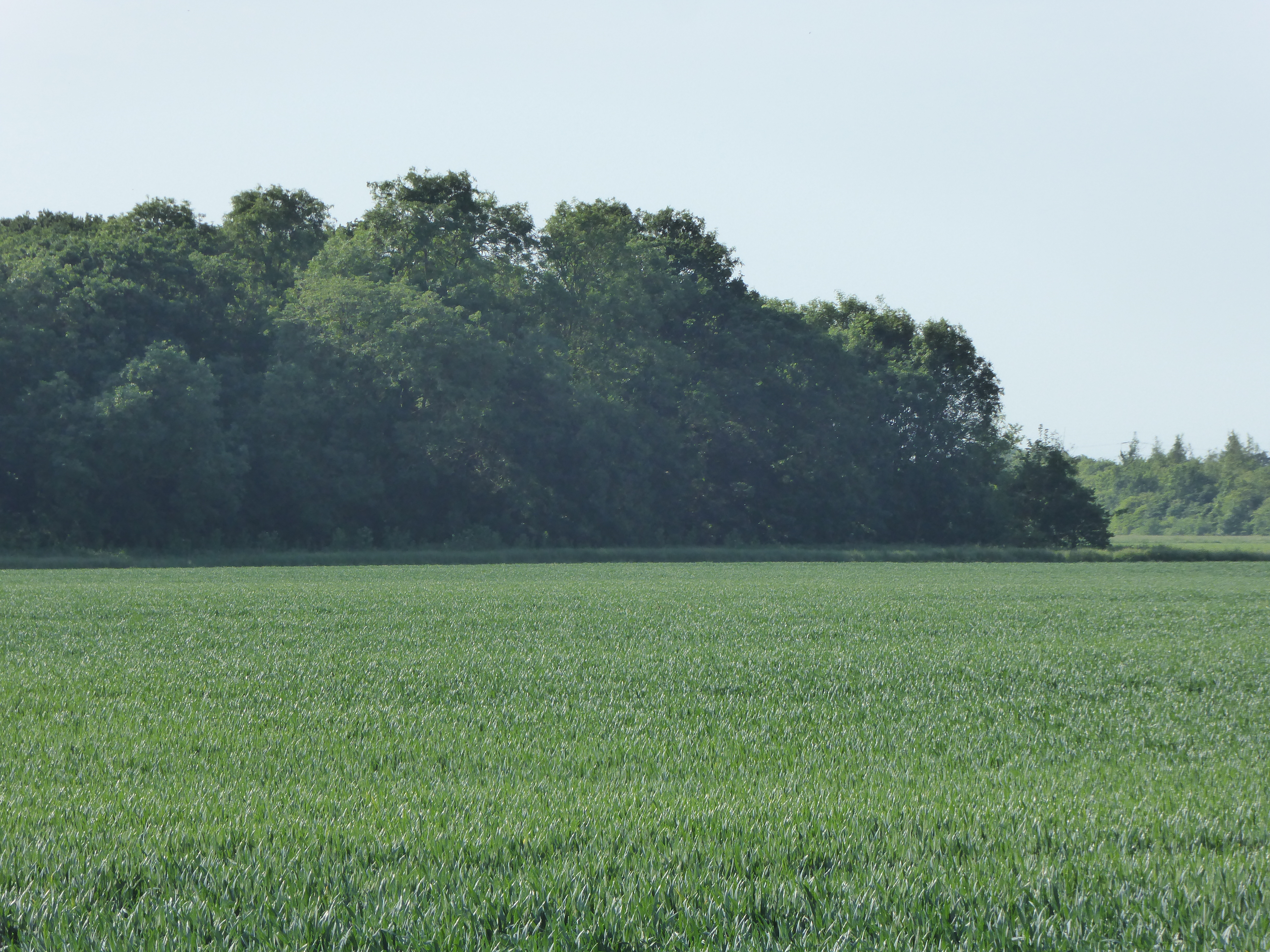
Pindar's Newland Field is a scenic area located in Norfolk, England. Nestled between the Downs and Moorland, it offers visitors a diverse and picturesque landscape to explore. Covering an expansive area, the field is characterized by rolling hills, sprawling meadows, and enchanting woodlands.
The Downs section of Pindar's Newland Field is renowned for its breathtaking views. Visitors can marvel at the panoramic vistas of the surrounding countryside, with its lush greenery and charming villages nestled in the distance. The gentle slopes of the Downs provide the perfect terrain for leisurely walks, picnics, and outdoor activities.
In contrast, the Moorland section of the field offers a unique and rugged experience. Visitors can traverse over heathland and moor, characterized by its wild and untamed beauty. The Moorland section is known for its diverse wildlife, including rare bird species and a variety of plants and flowers.
Pindar's Newland Field is a haven for nature enthusiasts and outdoor adventurers. Walkers, hikers, and cyclists can explore the numerous trails that wind through the field, taking in the stunning scenery and immersing themselves in the tranquility of the surroundings.
The field also boasts a rich history, with traces of ancient settlements and archaeological sites scattered throughout the area. Visitors can discover the remnants of old buildings and artifacts, offering a glimpse into the past.
Overall, Pindar's Newland Field in Norfolk is a haven for those seeking natural beauty, serenity, and a touch of history. Whether it's for a leisurely stroll, a family outing, or a wildlife adventure, this picturesque field offers something for everyone.
If you have any feedback on the listing, please let us know in the comments section below.
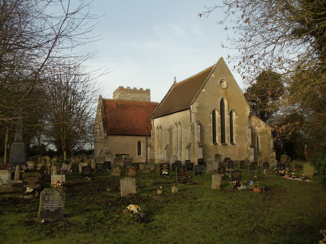
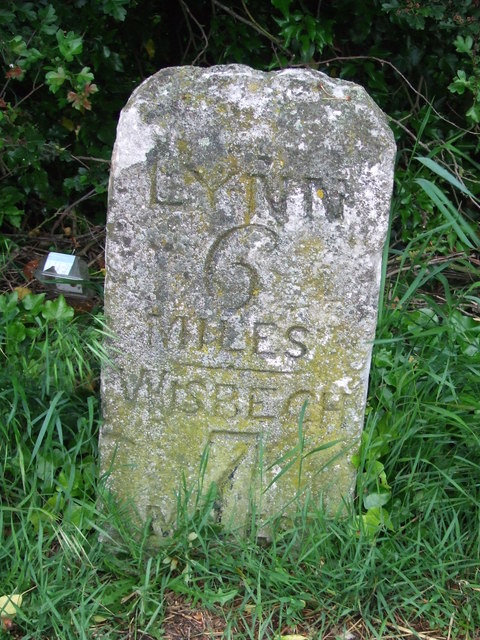
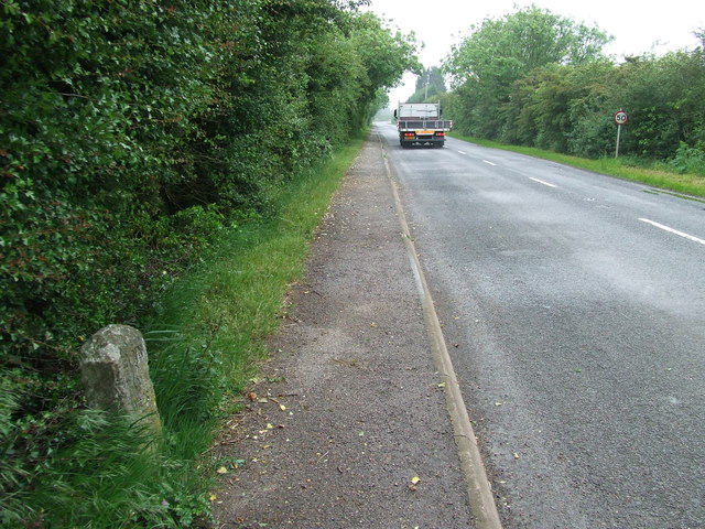
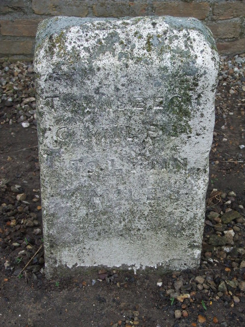
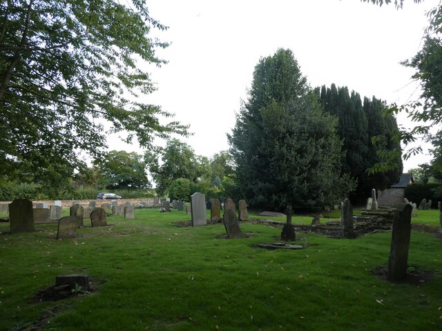
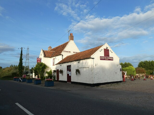
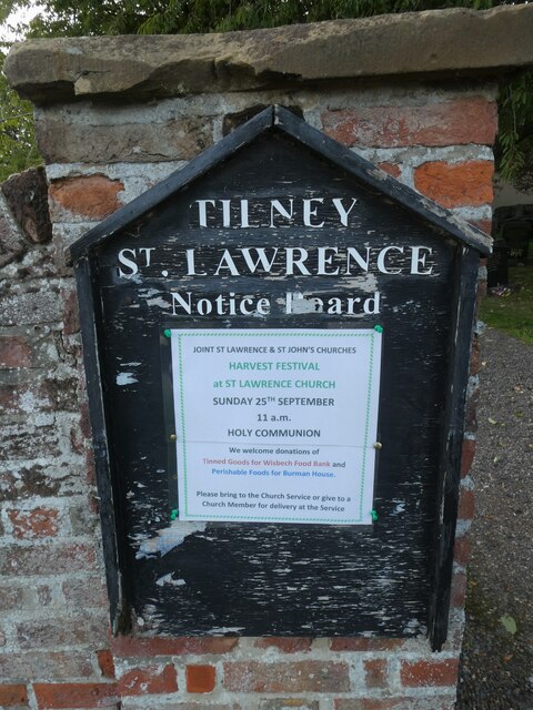
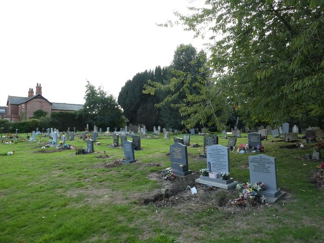
Pindars Newland Field Images
Images are sourced within 2km of 52.717922/0.2818673 or Grid Reference TF5415. Thanks to Geograph Open Source API. All images are credited.


Pindars Newland Field is located at Grid Ref: TF5415 (Lat: 52.717922, Lng: 0.2818673)
Administrative County: Norfolk
District: King's Lynn and West Norfolk
Police Authority: Norfolk
What 3 Words
///flagging.decisions.highlight. Near Terrington St John, Norfolk
Nearby Locations
Related Wikis

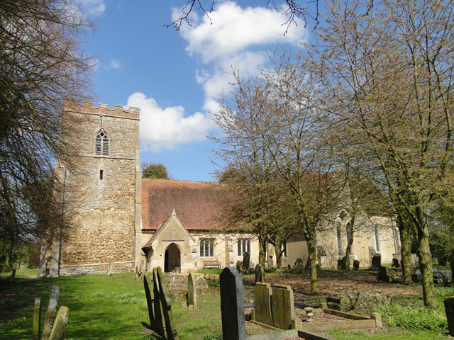
Terrington St John
Terrington St John is a village and civil parish in the English county of Norfolk. The village lies to the south of the route of the A47 between Peterborough...

Tilney St Lawrence
Tilney St Lawrence is a village and a civil parish in the English county of Norfolk The village is 52.3 miles (84.2 km) west of Norwich, 9.7 miles (15...
Islington Heronry
Islington Heronry is a 1.3-hectare (3.2-acre) biological Site of Special Scientific Interest south-west of King's Lynn Norfolk.This stand of mature oaks...
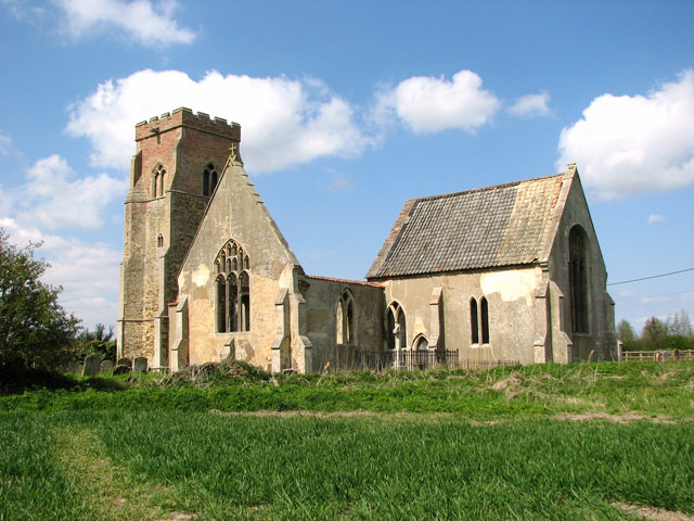
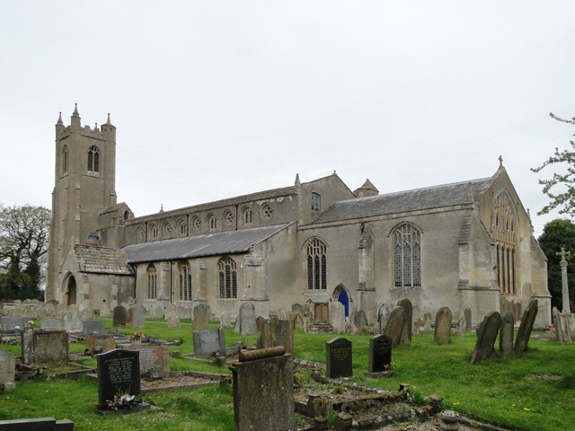
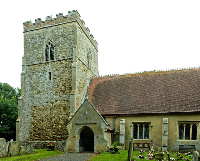
St Mary's Church, Islington, Norfolk
St Mary's Church is a ruined redundant Anglican church in the civil parish of Tilney St Lawrence, Norfolk, England. It is recorded in the National Heritage...

Walpole Highway
Walpole Highway is a village and civil parish in the English county of Norfolk. It covers an area of 10.48 km2 (4.05 sq mi) and had a population of 685...
Terrington railway station
Terrington railway station is a former station in Terrington St Clement, Norfolk. It opened in 1866 and was closed in 1959. It was on the Midland and Great...

Tilney All Saints
Tilney All Saints is a civil parish in the English county of Norfolk. It covers an area of 11.56 km2 (4.46 sq mi) and had a population of 563 in 230 households...
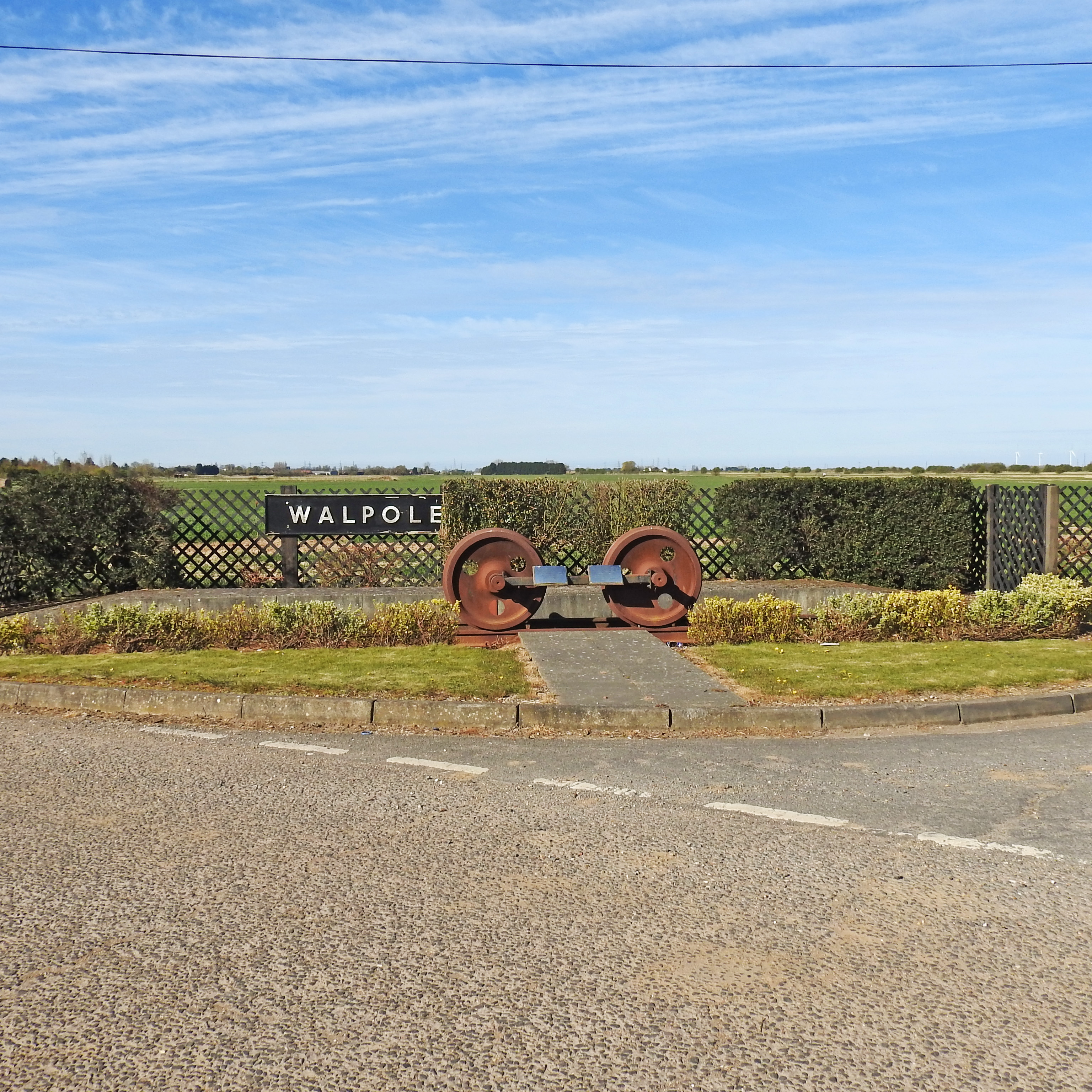
Walpole railway station (England)
Walpole railway station was a station in Norfolk. It is now disused. First opened in 1882, it was part of the Midland and Great Northern Joint Railway...
Nearby Amenities
Located within 500m of 52.717922,0.2818673Have you been to Pindars Newland Field?
Leave your review of Pindars Newland Field below (or comments, questions and feedback).