Debden Common
Downs, Moorland in Essex Uttlesford
England
Debden Common

Debden Common, located in Essex, England, is a picturesque expanse of land known for its diverse natural beauty and varied habitats. Spanning approximately 130 hectares, the common is a combination of downs and moorland, offering visitors a unique and captivating experience.
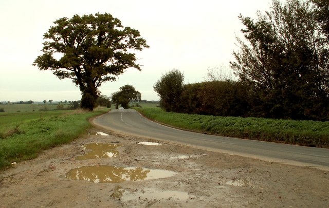
One of the defining features of Debden Common is its rolling hills and open grasslands, which are characteristic of downs landscapes. These grassy areas are interspersed with patches of heather and gorse, adding splashes of vibrant color to the scenery. The downs provide ample space for walking, picnicking, and enjoying the tranquility of the surroundings.
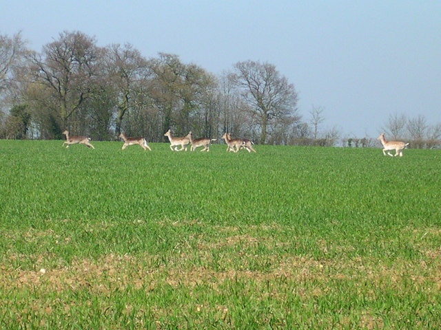
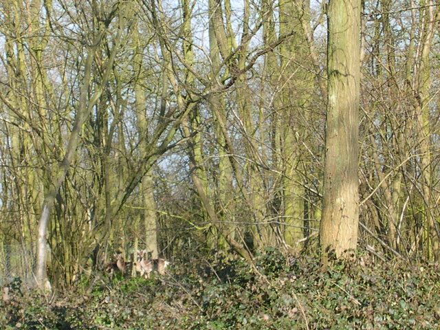
The moorland sections of Debden Common are home to a rich array of flora and fauna. Here, visitors can explore the peat bogs, wet heathland, and ponds that make up this unique ecosystem. The moorland is particularly noteworthy for its diverse bird population, including species such as stonechats, skylarks, and meadow pipits. Additionally, the area is known for its abundant insect life, with butterflies, dragonflies, and bees frequently seen in the warmer months.
Debden Common is also renowned for its historical significance. The site has evidence of human activity dating back to the Bronze Age, with various archaeological finds and remnants of ancient settlements scattered throughout the area. These historical features add an additional layer of intrigue to the natural beauty of the common.
Overall, Debden Common offers visitors a serene and enchanting escape from the hustle and bustle of everyday life. With its diverse landscapes, rich biodiversity, and historical significance, it is a place that truly captures the essence of Essex's natural heritage.
If you have any feedback on the listing, please let us know in the comments section below.
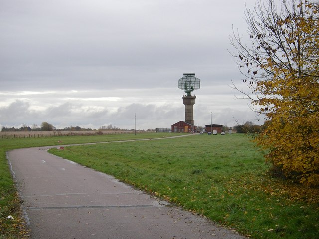
Debden Common Images
Images are sourced within 2km of 51.990787/0.24447591 or Grid Reference TL5434. Thanks to Geograph Open Source API. All images are credited.


Debden Common is located at Grid Ref: TL5434 (Lat: 51.990787, Lng: 0.24447591)
Administrative County: Essex
District: Uttlesford
Police Authority: Essex
What 3 Words
///nerd.gosh.boardroom. Near Saffron Walden, Essex
Nearby Locations
Related Wikis

Debden Water SSSI
Debden Water SSSI is a 20.9-hectare (52-acre) biological Site of Special Scientific Interest which comprises two stretches of Debden Water, a small tributary...

Debden Hall, Uttlesford
There was another Debden Hall in Essex, in Epping ForestDebden Hall was a country house in the north-west of the county of Essex, in England. It was demolished...

RAF Debden
Royal Air Force Debden or more simply RAF Debden is a former Royal Air Force station located 3 miles (4.8 km) southeast of Saffron Walden and approximately...

Debden Windmill
Debden Windmill is a grade II listed Tower mill at Debden, Essex, England which has been converted to residential use. == History == Debden Windmill was...
Debden, Uttlesford
Debden is a small rural village in the Uttlesford district of Essex in the East of England. It is located 4 miles (6 km) from Saffron Walden and 17 miles...
Joyce Frankland Academy
Joyce Frankland Academy, Newport, formerly Newport Free Grammar School, is a school in Newport, Essex, England. It was founded in 1588. The school is a...
Audley End Airfield
Audley End Airfield is located to the south west of Saffron Walden near to Saffron Walden County High School in the Uttlesford district of Essex, England...
Leper Stone
The Leper Stone or Newport Stone (grid reference TL520349) is a large sarsen stone near the village of Newport, Essex, England. The name Leper Stone probably...
Nearby Amenities
Located within 500m of 51.990787,0.24447591Have you been to Debden Common?
Leave your review of Debden Common below (or comments, questions and feedback).