Howe Wood
Wood, Forest in Essex Uttlesford
England
Howe Wood

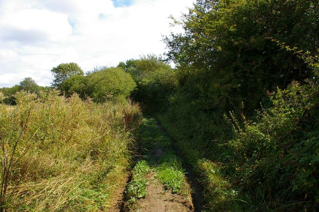
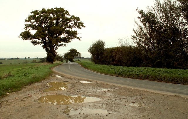
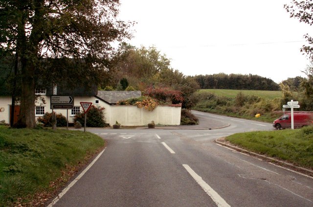
Howe Wood is a picturesque woodland located in the county of Essex, England. Covering an area of approximately 80 acres, it is a popular destination for nature enthusiasts and outdoor lovers. The wood is situated near the village of Howe Green, just a few miles away from the town of Chelmsford.
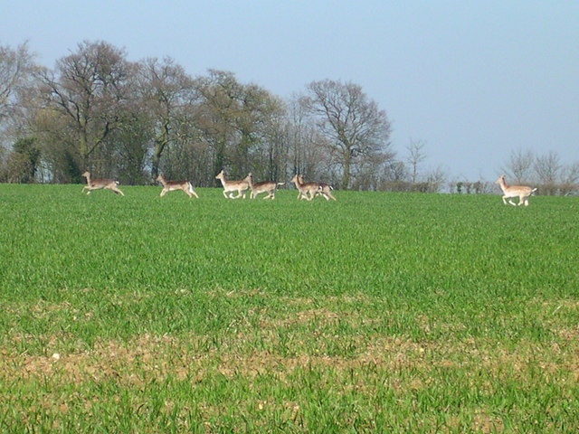
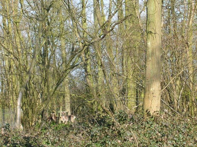
The woodland is predominantly composed of deciduous trees, including oak, ash, and beech, creating a rich and diverse ecosystem. The dense canopy provides a sheltered environment for a variety of wildlife, making it a haven for birdwatchers and wildlife photographers. Visitors to Howe Wood can expect to see an array of bird species, such as woodpeckers, warblers, and owls, as well as small mammals like squirrels and rabbits.
There are several well-maintained walking trails and footpaths throughout the wood, allowing visitors to explore the area at their own pace. The peaceful atmosphere and natural beauty make it an ideal spot for nature walks, picnics, or simply to relax and unwind in the tranquil surroundings.
Howe Wood is managed by the local council, ensuring its conservation and preservation for future generations to enjoy. It is open to the public year-round, with no admission fees, making it accessible to all. The wood also hosts educational events and workshops, providing an opportunity for visitors to learn more about the local flora and fauna.
Overall, Howe Wood is a hidden gem in Essex, offering a delightful escape from the hustle and bustle of everyday life. Whether you are a nature lover, a keen walker, or simply seeking a peaceful retreat, Howe Wood is a must-visit destination in the heart of Essex.
If you have any feedback on the listing, please let us know in the comments section below.
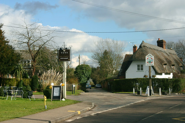
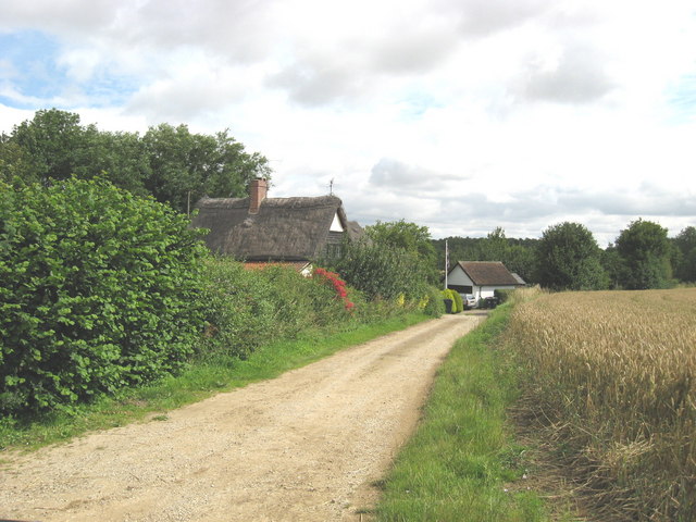
Howe Wood Images
Images are sourced within 2km of 51.988363/0.2522344 or Grid Reference TL5434. Thanks to Geograph Open Source API. All images are credited.


Howe Wood is located at Grid Ref: TL5434 (Lat: 51.988363, Lng: 0.2522344)
Administrative County: Essex
District: Uttlesford
Police Authority: Essex
What 3 Words
///without.prowling.arrival. Near Saffron Walden, Essex
Nearby Locations
Related Wikis

Debden Hall, Uttlesford
There was another Debden Hall in Essex, in Epping ForestDebden Hall was a country house in the north-west of the county of Essex, in England. It was demolished...

Debden Water SSSI
Debden Water SSSI is a 20.9-hectare (52-acre) biological Site of Special Scientific Interest which comprises two stretches of Debden Water, a small tributary...

Debden Windmill
Debden Windmill is a grade II listed Tower mill at Debden, Essex, England which has been converted to residential use. == History == Debden Windmill was...

RAF Debden
Royal Air Force Debden or more simply RAF Debden is a former Royal Air Force station located 3 miles (4.8 km) southeast of Saffron Walden and approximately...
Debden, Uttlesford
Debden is a small rural village in the Uttlesford district of Essex in the East of England. It is located 4 miles (6 km) from Saffron Walden and 17 miles...

Carver Barracks
Carver Barracks is a British Army base on the former site of RAF Debden, approximately 1 mile north of the village of Debden, in Essex. The nearest town...
Rook End
Rook End is a hamlet near the village of Widdington, in the Uttlesford district, in the county of Essex, England. Rook End contains three listed buildings...
Audley End Airfield
Audley End Airfield is located to the south west of Saffron Walden near to Saffron Walden County High School in the Uttlesford district of Essex, England...
Nearby Amenities
Located within 500m of 51.988363,0.2522344Have you been to Howe Wood?
Leave your review of Howe Wood below (or comments, questions and feedback).